The best MTB trails around Saint-Sauveur
4.3
(163)
1,146
riders
104
rides
Mountain biking around Saint-Sauveur offers a diverse landscape for riders. The region features a mix of rolling hills, dense woodlands, and open rural areas, providing varied terrain for mountain bike trails. Many routes include significant elevation changes, with some climbs exceeding 600 meters, characteristic of the area's hilly topography. Circular mountain bike routes are common, allowing for comprehensive exploration of the local environment.
Best mountain bike trails around Saint-Sauveur
- The most popular mountain bike trail is Guimilau – Saint-Miliau Church…
Last updated: July 5, 2026
4.6
(5)
35
riders
39.6km
03:09
540m
540m
Moderate mountain bike ride. Good fitness required. Suitable for all skill levels.
4.8
(4)
25
riders
31.4km
02:28
370m
370m
Moderate mountain bike ride. Good fitness required. Suitable for all skill levels.

Sign up for free
4.0
(2)
12
riders
36.8km
03:01
560m
560m
Moderate mountain bike ride. Good fitness required. Suitable for all skill levels.
4.3
(3)
8
riders
21.4km
01:40
180m
180m
Easy mountain bike ride. Great for any fitness level. Suitable for all skill levels.
11
riders
25.8km
01:49
270m
270m
Easy mountain bike ride. Great for any fitness level. Suitable for all skill levels.
Get access to more routes and recommendations from other explorers.
Sign up for free
Already have an account?
Our route recommendations are based on thousands of hikes, rides, and runs completed by other people on komoot.
Start today with a free account
Your next adventure awaits.
Login or Signup

Tips from the Community

One of the peaks of the Monts d'Arrée chain of the Armorican massif.
0
0
Incredible view from the second highest point of the Breton part of the Armorican Massif in the Monts d'Arrée.
0
0

This church is dedicated to a saint with many names: Mélar, Méliau, Melair, Mélaire, Melard, Meleuc, Méloar, Méloir, Meloire, and Miliau are French variants of "MELIAVUS of LANMEUR" (the official church name). The recorded dates of life of the Breton king and martyr are * 470, + 583. The feast day of Saint-MILIAU in the calendar of saints is October 26th.
3
0


The big minus of this trail is the passage via the heavily used departmental road.
0
0


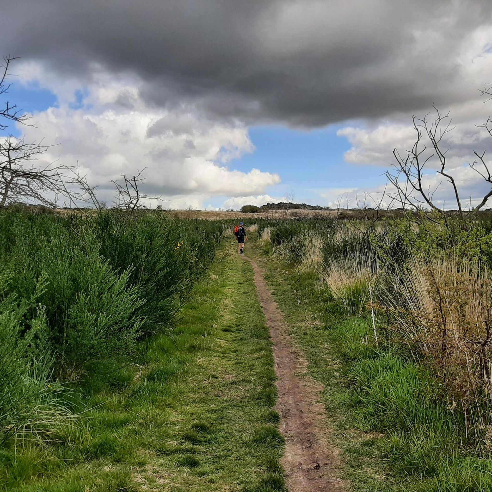
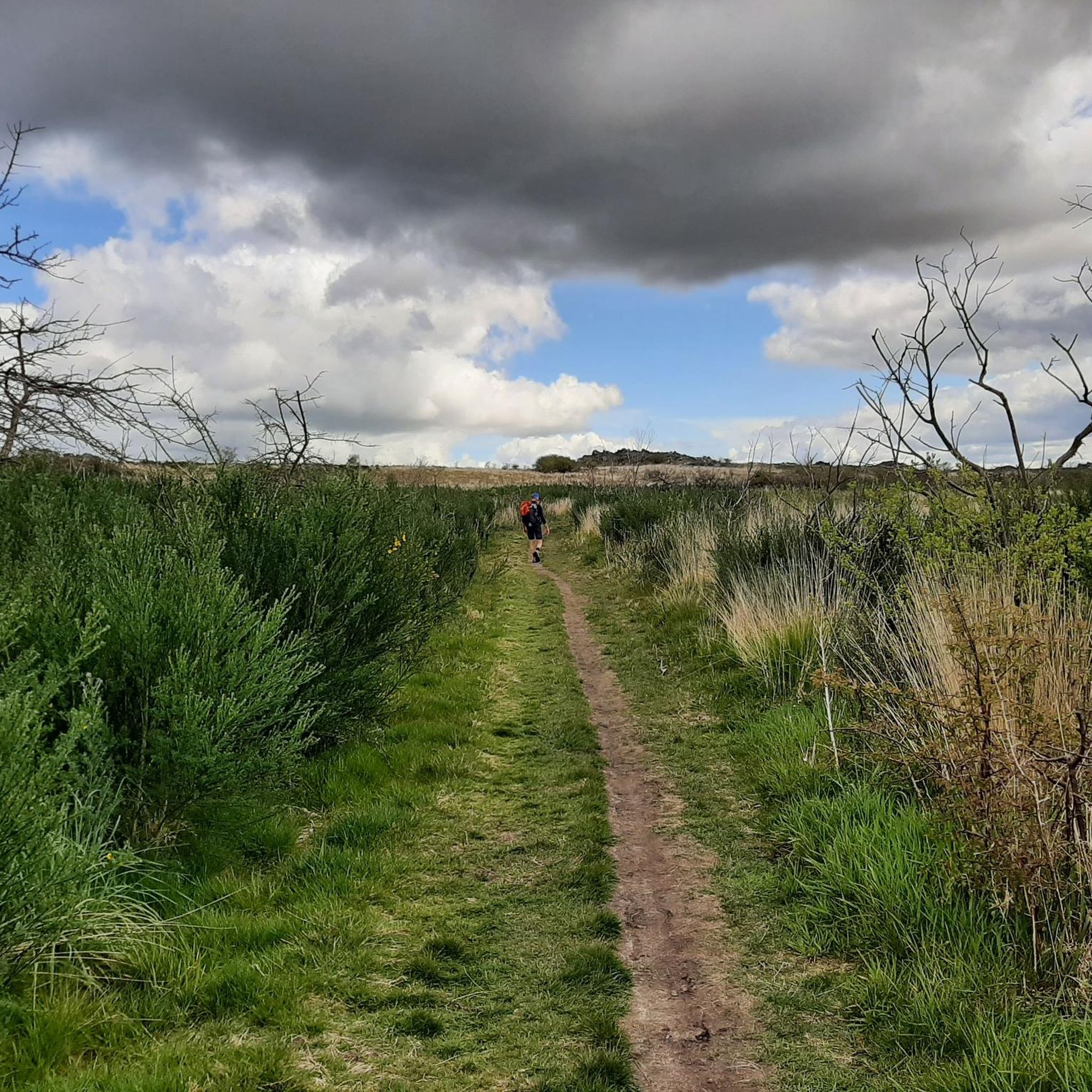
Very nice hiking trail at Roc'h Trevezel. The landscape is barren and almost looks a little bizarre with the dead trees. Here you need sturdy shoes and usually a jacket for the cool wind.
4
1

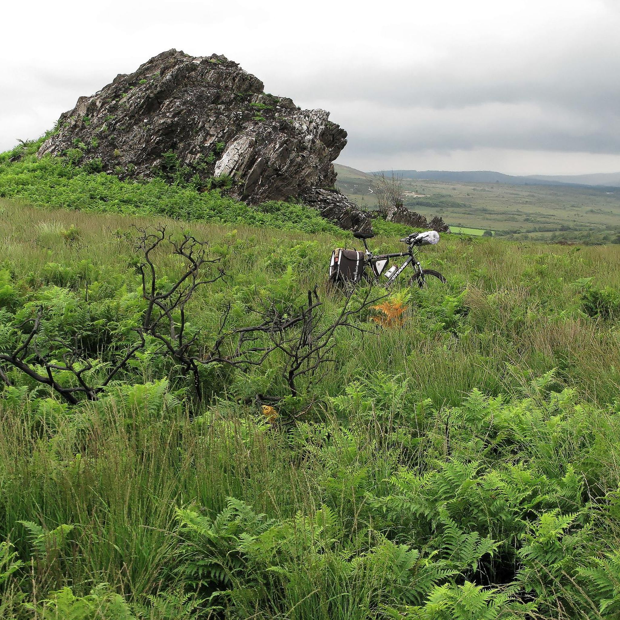
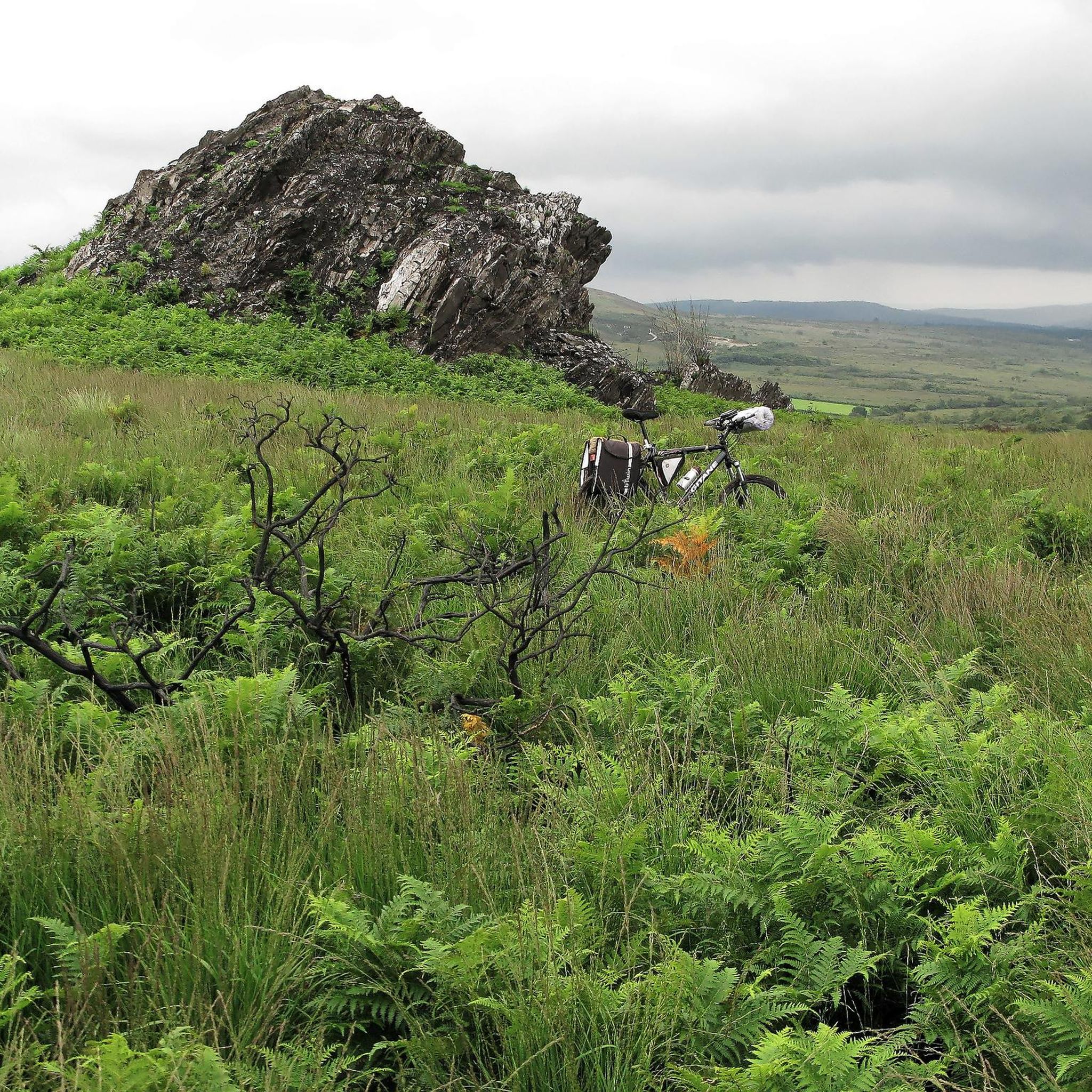
From Roc'h Trevezel, the highest point in Brittany, you can access this small single track which winds between the obstacles of this rocky ridge.
1
0
Frequently Asked Questions
How many mountain bike trails are available around Saint-Sauveur?
There are over 100 mountain bike trails documented on komoot around Saint-Sauveur, offering a wide variety of options for all skill levels. This includes 36 easy, 54 moderate, and 12 difficult routes.
Are there any easy mountain bike trails suitable for beginners in Saint-Sauveur?
Yes, Saint-Sauveur offers a good selection of easy mountain bike trails. For instance, the Pleasant Farm Track loop from Guimiliau is an easy 21.5 km route with moderate elevation gain, perfect for those starting out or looking for a relaxed ride.
What are the options for advanced mountain bikers in Saint-Sauveur?
For advanced riders seeking a challenge, Saint-Sauveur features 12 difficult mountain bike routes. These trails often include significant elevation changes and more technical terrain, providing a demanding experience. The region's hilly topography ensures plenty of climbs and descents.
Are there circular mountain bike routes in Saint-Sauveur?
Yes, circular mountain bike routes are common in Saint-Sauveur, allowing for comprehensive exploration of the local environment without retracing your steps. Many of the popular trails, such as the Roc'hs Trail – Roc'h Trevezel loop from Saint-Sauveur, are designed as loops.
What is the typical duration for mountain bike trails in Saint-Sauveur?
The duration of mountain bike trails in Saint-Sauveur varies greatly depending on the route's length and difficulty. For example, a moderate route like the Guimilau – Saint-Miliau Church loop from Guimiliau (39.8 km) typically takes around 3 hours and 9 minutes to complete, while shorter easy routes can be finished in under 2 hours.
What do other mountain bikers enjoy most about the trails in Saint-Sauveur?
The mountain bike trails in Saint-Sauveur are highly rated by the komoot community, with an average score of 4.3 stars from over 150 reviews. Riders often praise the diverse landscape, which includes a mix of rolling hills, dense woodlands, and open rural areas, as well as the variety of routes catering to different ability levels.
Are there any scenic viewpoints along the mountain bike trails in Saint-Sauveur?
Yes, many routes in Saint-Sauveur offer scenic viewpoints, especially those traversing the hilly terrain. The Roc'hs Trail – Roc'h Trevezel loop from Saint-Sauveur is known for leading through hilly terrain and offering picturesque views, characteristic of the region's topography.
What kind of terrain can I expect on mountain bike trails in Saint-Sauveur?
Mountain biking around Saint-Sauveur is characterized by rolling hills, dense forests, and open rural paths. You can expect varied terrain with significant elevation changes, as some climbs exceed 600 meters. Trails often mix forest sections with open views, providing a dynamic riding experience.
Are there any notable landmarks or attractions near the mountain bike trails?
Yes, the Saint-Sauveur area is home to several interesting landmarks. You might encounter historical sites like the Saint-Thégonnec Church or natural features such as the Mont Saint-Michel of Brasparts, which offers impressive views. These can be great points of interest to explore during or after your ride.
How does mountain biking in Saint-Sauveur compare to Val-David?
While both regions offer excellent mountain biking, Saint-Sauveur is known for its diverse landscape featuring rolling hills, dense woodlands, and open rural areas with significant elevation changes. Val-David, often praised for its extensive network of trails, might offer a different mix of terrain and trail styles. Saint-Sauveur's routes are highly rated for their varied terrain and scenic beauty.
Can I find less crowded mountain bike trails in Saint-Sauveur?
While some popular routes can see more traffic, Saint-Sauveur's extensive network of over 100 trails means it's possible to find quieter options. Exploring some of the lesser-known easy or moderate routes, or riding during off-peak hours, can help you discover more secluded paths and enjoy the tranquility of the region's woodlands and rural areas.
Most popular routes around Saint-Sauveur
Most popular attractions around Saint-Sauveur

Get inspired with the komoot mobile app


Explore more
Browse the best MTB trails in other regions.
