The best running trails around L'Escarène
4.4
(34)
3,334
runners
17
runs
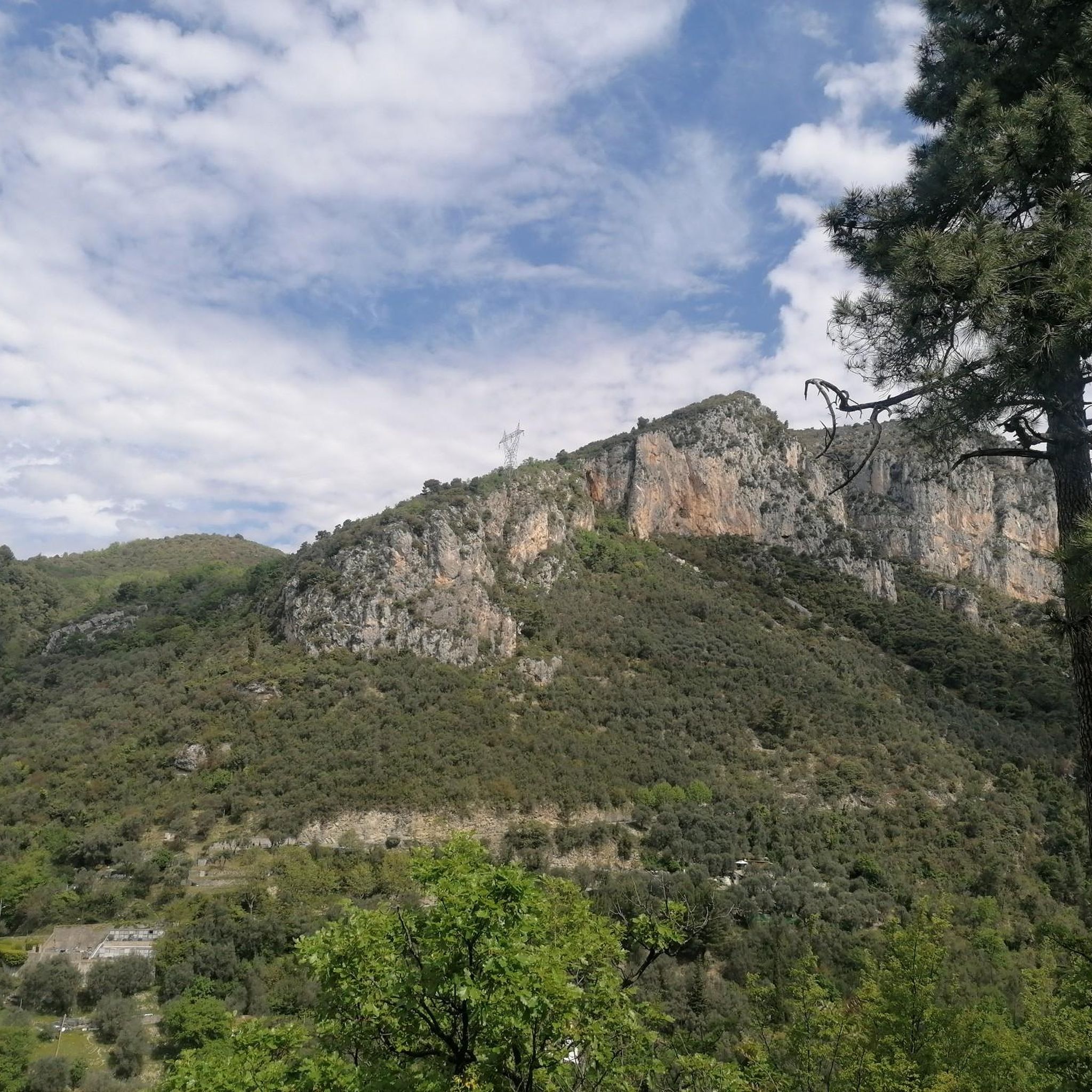
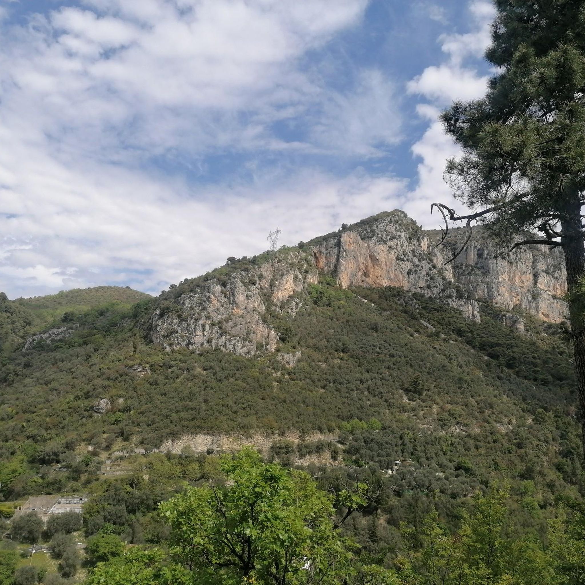
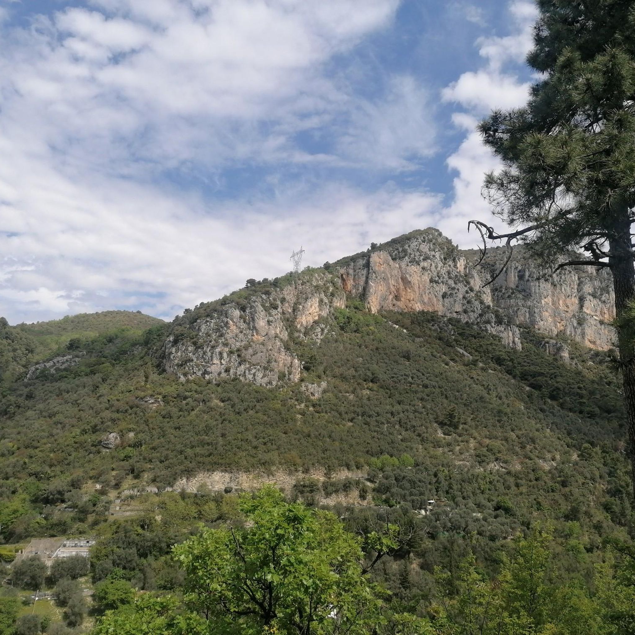
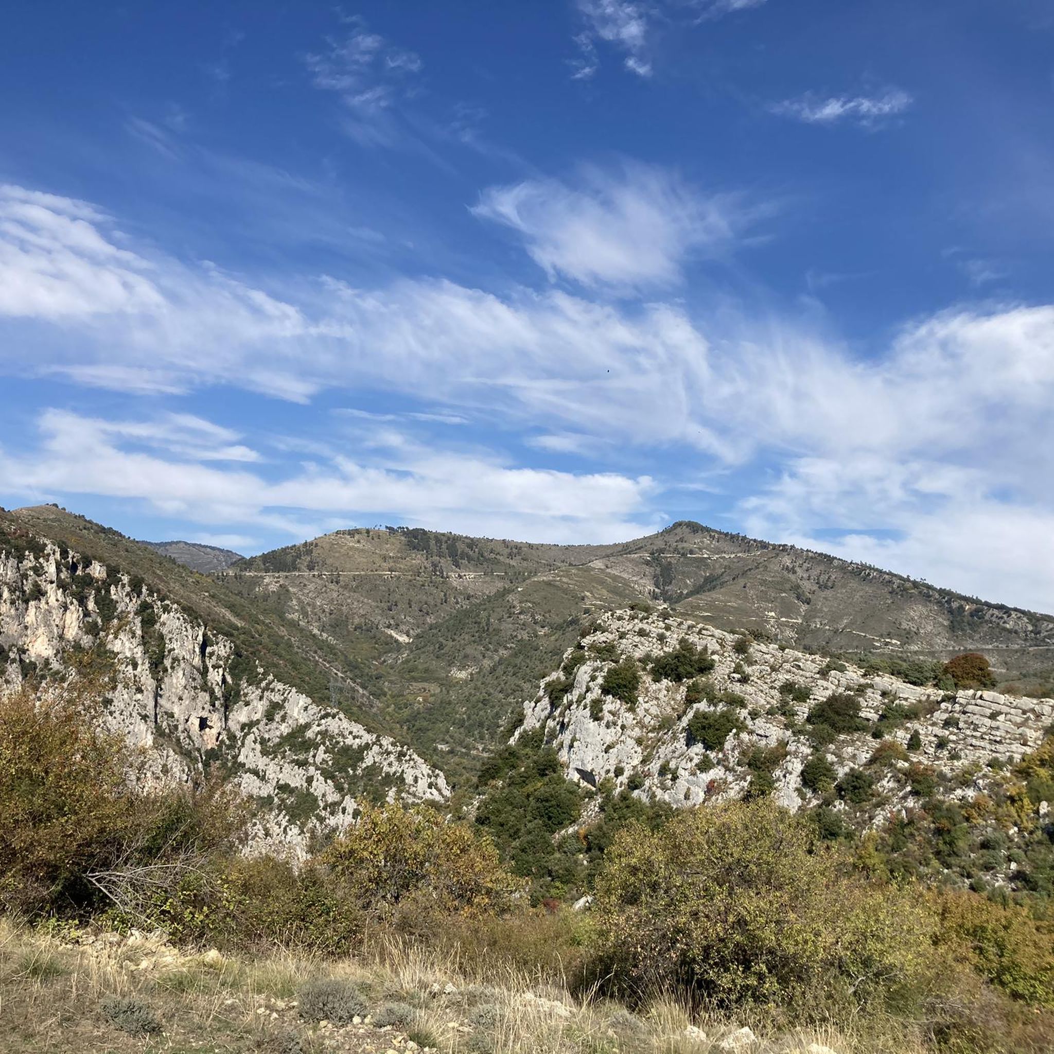
Jogging routes around L'Escarène traverse a landscape characterized by the picturesque mountains and hills of the Nice hinterland. The region features extensive forests of pine, oak, and chestnut, offering shaded running paths. The village is situated at the confluence of the Peillon and Redebraus streams, with the Paillon valley providing riverside routes. Surrounding peaks and hills, such as Mont Panard and Mont Castello, offer varying elevations and panoramic views for runners.
Best jogging routes around L'Escarène
- The most popular jogging…
Last updated: June 29, 2026
4.5
(2)
45
runners
20.6km
02:42
780m
780m
Hard run. Very good fitness required. Mostly accessible paths. Some sure footedness required.
36
runners
22.6km
03:11
1,000m
1,000m
Hard run. Very good fitness required. Sure-footedness, sturdy shoes and alpine experience required.

Sign up for free
4.0
(2)
40
runners
18.4km
02:11
560m
560m
Hard run. Very good fitness required. Mostly paved surfaces. Suitable for all skill levels.
22
runners
9.28km
01:16
390m
390m
Hard run. Very good fitness required. Mostly accessible paths. Some sure footedness required.
5.0
(2)
20
runners
9.71km
01:02
150m
150m
Moderate run. Good fitness required. Mostly paved surfaces. Suitable for all skill levels.
Get access to more routes and recommendations from other explorers.
Sign up for free
Already have an account?
Our route recommendations are based on thousands of hikes, rides, and runs completed by other people on komoot.
Start today with a free account
Your next adventure awaits.
Login or Signup
Tips from the Community


little very technical course a lot of raises I love
0
0
very technical but really neat
0
0

From the bakery to the bar in the shadow of the church, there is everything you need for a short break on the way. A cozy place with a magical ambience.
1
0
Frequently Asked Questions
How many running routes are available around L'Escarène?
L'Escarène offers a diverse network of over 18 running routes, catering to various fitness levels. These trails wind through picturesque mountains, hills, and extensive forests, providing a scenic backdrop for your run.
What is the general difficulty level of the jogging routes in L'Escarène?
The running routes around L'Escarène offer a good mix of challenges. While there is 1 easy route, you'll find 3 moderate options and 14 difficult trails, many featuring significant elevation gain through forested terrain. This variety ensures there's something for every runner, from those seeking a relaxed jog to experienced trail runners looking for a demanding workout.
Are there any easy or beginner-friendly running trails in the area?
Yes, for those seeking an easier run, there is 1 route classified as easy. Additionally, there are 3 moderate routes, such as the L'Escarène loop from L'Escarène, which is 9.7 km long with 151 meters of elevation gain, making it suitable for a less strenuous outing. The region's diverse terrain also includes paths noted as 'not too steep and suitable for trail running' in the Paillon National Forest.
What kind of natural features or landscapes can I expect to see while running in L'Escarène?
Running in L'Escarène immerses you in the stunning landscapes of the Nice hinterland. You'll encounter extensive forests of pine, oak, chestnut, and mimosa, offering shaded paths. The village is nestled at the confluence of the Peillon and Redebraus streams, with the Paillon valley providing pleasant riverside routes. Surrounding mountains and peaks like Mont Panard and Mont Castello offer varying elevations and panoramic views. You might also glimpse distant views of the snow-capped Mercantour peaks from certain viewpoints.
Are there any specific landmarks or points of interest along the running trails?
While running around L'Escarène, you can discover several interesting points. The village itself is a fortified medieval village with charming narrow streets. A striking feature is the impressive 40-meter high viaduct with eleven arches, which spans the Paillon valley. For those interested in natural monuments, nearby highlights include the Jardins de la Petite Afrique. You can also find historical sites like Castle ruins and the Ruins of Old Castellar in the wider area.
What do other runners say about the trails in L'Escarène?
The running routes in L'Escarène are highly regarded by the komoot community, boasting an average rating of 4.4 stars from over 28 reviews. More than 2,800 runners have used komoot to explore the varied terrain, often praising the diverse forests, river valleys, and challenging mountain ascents that define the area's running experience.
Are there any circular running routes available?
Yes, many of the routes around L'Escarène are designed as loops, offering convenient circular options. For example, the Beautiful Views loop from L´Escarene is a popular 20.8 km trail, and the Baisse de la Croix loop from L´Escarene provides a challenging 22.0 km experience. There's also a shorter L'Escarène loop from L'Escarène at 9.7 km.
Is L'Escarène suitable for trail running events or longer distances?
Absolutely. The region's extensive trail network and varied terrain make it ideal for longer distances and trail running events. The area hosts events like the 'Trail l'Escarenoise,' which features 11.5km and 20km nature trail races. Many routes, such as the 22 km Baisse de la Croix loop from L´Escarene, are perfect for those training for or participating in such events.
What is the best time of year for jogging in L'Escarène?
L'Escarène offers good running conditions for much of the year. The extensive forests of pine, oak, and chestnut provide shaded routes, making summer runs more comfortable. Spring and autumn offer pleasant temperatures and vibrant scenery. Even in winter, the region can be suitable, though checking local weather conditions is always advisable, especially for higher elevations where distant views of snow-capped Mercantour peaks are visible.
Are there options for parking near the running trails in L'Escarène?
Yes, L'Escarène is a village with various access points. While specific parking areas for each trail are not detailed, as a charming medieval village, it typically offers parking options within or on the outskirts, making it convenient to access the numerous marked paths that originate from the area.
Can I reach the running paths using public transport?
L'Escarène is accessible by public transport. The village is served by the 'Train des Merveilles,' which crosses the impressive viaduct. This makes it possible to reach the area and its trail network without a car, allowing for a more sustainable way to enjoy the running routes.
Are there any running routes that offer panoramic views?
Yes, several routes in L'Escarène provide stunning panoramic views. The region is surrounded by mountains and peaks like Mont Panard, Mont Castello, and the Baou hills, which offer spectacular vistas over the coast and the Mediterranean Sea. The Beautiful Views loop from L´Escarene, for instance, is specifically named for its expansive vistas of the surrounding natural environment.
Most popular routes around L'Escarène
Most popular attractions around L'Escarène

Get inspired with the komoot mobile app


Explore more
Browse the best Running Trails & Routes in other regions.
