The best walks and hikes around Nielles-Lès-Bléquin
4.4
(165)
980
hikers
96
hikes
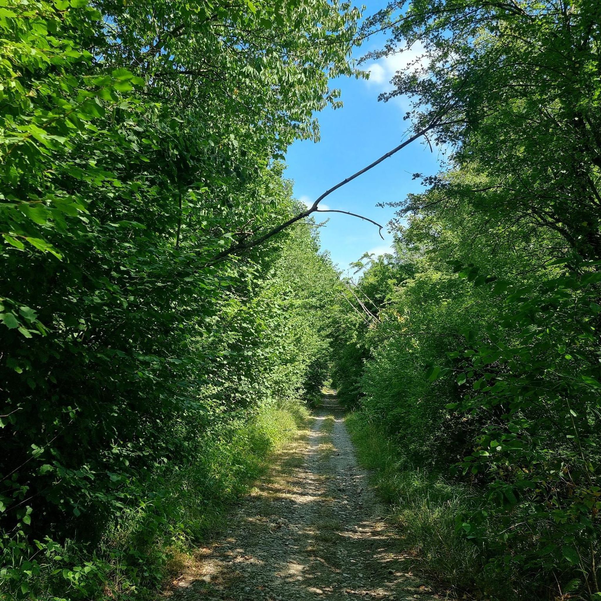
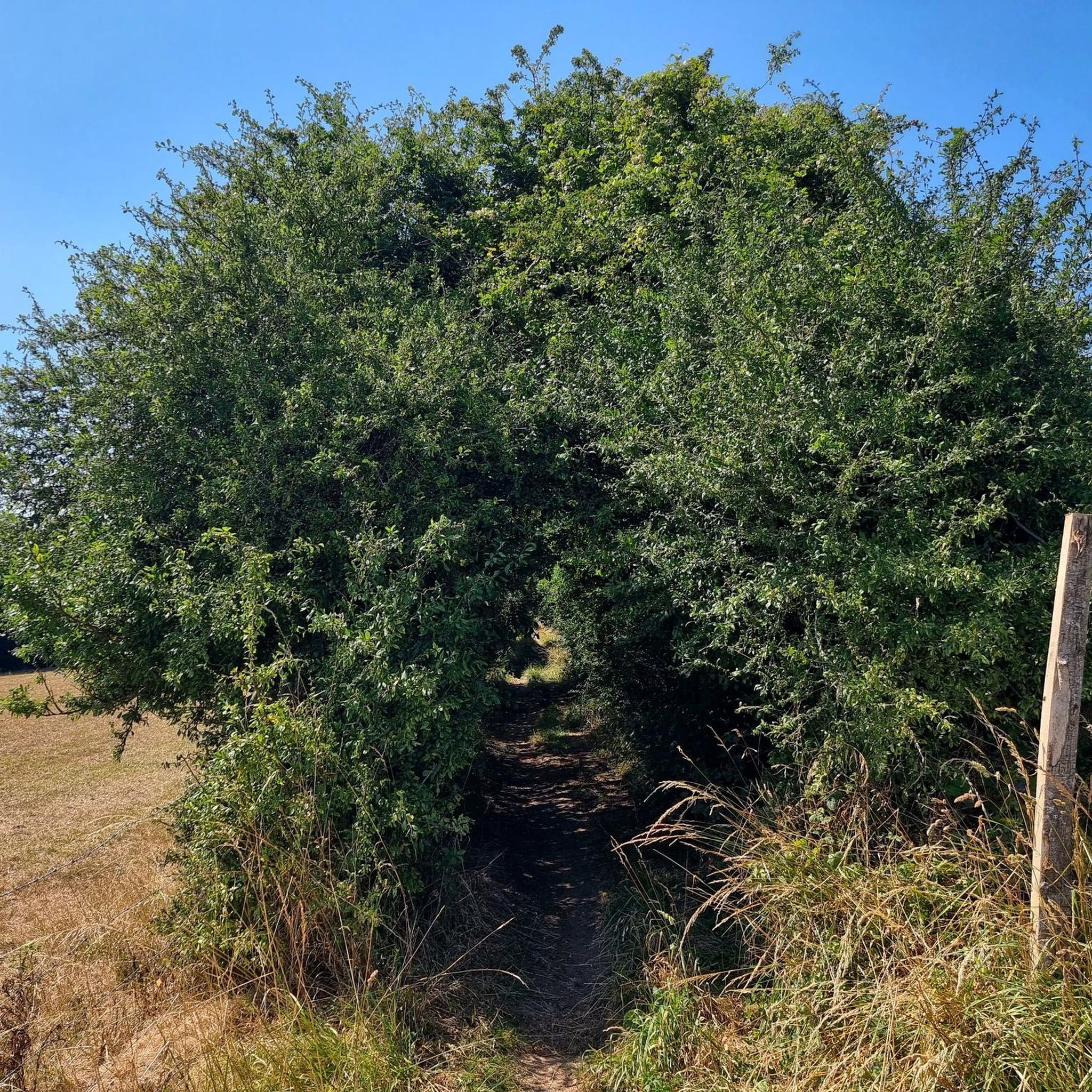
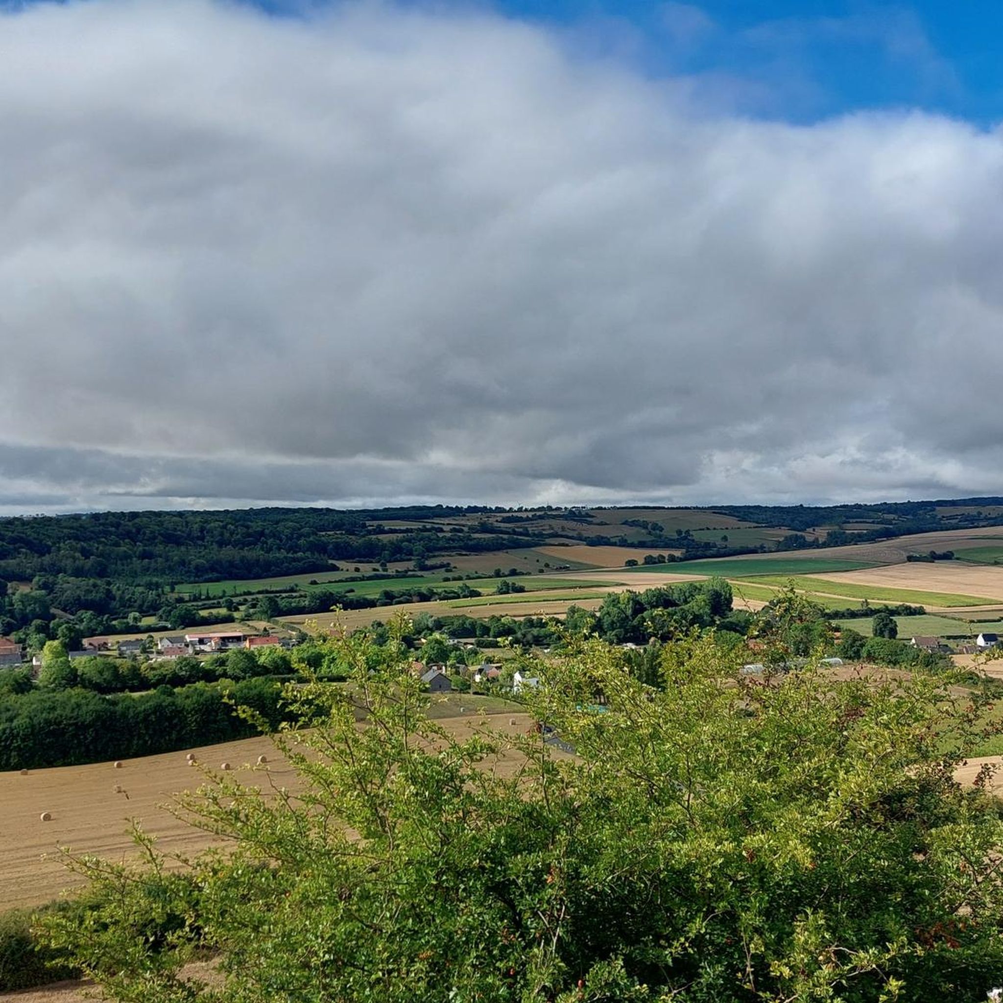
Hiking around Nielles-Lès-Bléquin reveals a diverse landscape characterized by rolling hills, river valleys, and distinctive chalky slopes. The region offers views over the Artois heights and the Bléquin valley, with many trails traversing wooded areas and pastures. Proximity to the Regional Natural Park of Caps et Marais d'Opale further enhances the natural beauty and variety of the terrain.
Best hiking trails around Nielles-Lès-Bléquin
- The most popular hiking route is Hiking loop from Nielles-lès-Bléquin, a 5.0 miles (8.0 km) trail…
Last updated: July 9, 2026
4.4
(5)
18
hikers
8.04km
02:10
110m
110m
Moderate hike. Good fitness required. Easily-accessible paths. Suitable for all skill levels.
5.0
(2)
12
hikers
26.6km
07:24
480m
480m
Hard hike. Very good fitness required. Easily-accessible paths. Suitable for all skill levels.

Sign up for free
5.0
(1)
7
hikers
11.4km
03:05
150m
150m
Moderate hike. Good fitness required. Easily-accessible paths. Suitable for all skill levels.
4.3
(3)
20
hikers
8.68km
02:22
130m
130m
Moderate hike. Good fitness required. Easily-accessible paths. Suitable for all skill levels.
5.0
(1)
2
hikers
14.1km
03:50
200m
200m
Moderate hike. Good fitness required. Easily-accessible paths. Suitable for all skill levels.
Get access to more routes and recommendations from other explorers.
Sign up for free
Already have an account?
Our route recommendations are based on thousands of hikes, rides, and runs completed by other people on komoot.
Start today with a free account
Your next adventure awaits.
Login or Signup

Tips from the Community

Excellent point of view, with a vertiginous descent by mountain bike
1
0
Frequently Asked Questions
What kind of terrain can I expect when hiking around Nielles-Lès-Bléquin?
The region offers a diverse landscape characterized by rolling hills, river valleys, and distinctive chalky slopes. You'll find trails traversing wooded areas, open pastures, and even some steep sections, particularly around the Wavrans-sur-l'Aa Nature Reserve. The relief is varied, providing scenic vistas over the Artois heights and the Bléquin valley.
Are there many easy hiking trails suitable for beginners or casual walkers?
Yes, Nielles-Lès-Bléquin offers a good selection of easier routes. Out of nearly 100 available trails, 29 are classified as easy, making them suitable for beginners or those looking for a more relaxed walk. These often feature less elevation gain and shorter distances.
Are there any circular hiking routes available in Nielles-Lès-Bléquin?
Many of the trails in the area are circular, allowing you to start and end in the same location. For example, the Hiking loop from Nielles-lès-Bléquin is a popular moderate option, and the Bois Sergelle loop from Nielles-lès-Bléquin also offers a scenic circular experience through woods and fields.
What is the best time of year to go hiking in Nielles-Lès-Bléquin?
The region is enjoyable for hiking throughout much of the year. Spring and autumn offer pleasant temperatures and beautiful scenery, with spring bringing blooming flora and autumn showcasing vibrant foliage. Summer is also suitable, though it can be warmer. Winter hiking is possible, but trails might be muddy or slippery, especially in wooded areas.
Are there any family-friendly hiking options in the area?
Yes, many of the easier and moderate trails are suitable for families. The varied landscapes, including wooded areas and open fields, provide engaging environments for children. Look for routes classified as 'easy' or shorter 'moderate' loops for a comfortable family outing.
Can I bring my dog on the hiking trails around Nielles-Lès-Bléquin?
Generally, dogs are welcome on hiking trails in the region. However, it's always advisable to keep your dog on a leash, especially when passing through agricultural land, near livestock, or in nature reserves like Wavrans-sur-l'Aa, to protect wildlife and ensure safety for everyone.
What are some notable natural landmarks or viewpoints I can expect to see?
The region offers superb views over the Artois heights and the Bléquin valley. You can also explore the distinctive chalky slopes of the Wavrans-sur-l'Aa Nature Reserve, which includes Mont Carrière and Montagne d'Elnes. The Vallée de la Course also presents varied landscapes with cress farms and 'fiery hills'.
Are there any interesting attractions or historical sites near the hiking trails?
Yes, beyond the natural beauty, you can find several points of interest. For example, the Poudrerie d'Esquerdes natural area and the Old powder mill offer a glimpse into local history. The Saint-Léger Church in Cléty and the village of Quelmes are also nearby. The Pihem Ravine is another natural feature worth exploring.
How long do hikes typically take around Nielles-Lès-Bléquin?
Hiking durations vary depending on the route's length and difficulty. For instance, a moderate 8 km (5 miles) loop like the Hiking loop from Nielles-lès-Bléquin typically takes around 2 hours and 10 minutes. Longer routes, such as the 11.6 km (7.2 miles) Siperbe wimes church loop from Nielles-lès-Bléquin, can take approximately 3 hours and 10 minutes.
What do other hikers say about the trails in Nielles-Lès-Bléquin?
The hiking routes in Nielles-Lès-Bléquin are highly rated by the komoot community, with an average score of 4.5 stars from over 140 reviews. Hikers often praise the varied terrain, the scenic views over the valleys and hills, and the well-maintained paths that offer a mix of wooded areas and open countryside.
Are there any accommodations or places to eat near the hiking trails?
Nielles-Lès-Bléquin and its surrounding villages offer various options for accommodation, including gîtes and chambres d'hôtes. You can also find local cafes and pubs in the villages, providing places to refresh and refuel after your hike.
Is public transport available to reach hiking trailheads in Nielles-Lès-Bléquin?
While public transport options might be limited directly to every trailhead, Nielles-Lès-Bléquin is accessible, and local bus services connect some of the larger villages. For specific trailheads, driving and parking are often the most convenient options. It's recommended to check local transport schedules in advance.
Do I need any permits for hiking in the Nielles-Lès-Bléquin area?
Generally, no specific permits are required for hiking on public trails in the Nielles-Lès-Bléquin area or the wider Pas-de-Calais region. However, always respect private property, stay on marked paths, and adhere to any local regulations, especially within nature reserves.
Most popular routes around Nielles-Lès-Bléquin
Most popular attractions around Nielles-Lès-Bléquin

Get inspired with the komoot mobile app


Explore more
Browse the best Hikes in other regions.
