The best running trails around Bosc-Guérard-Saint-Adrien
4.3
(177)
11,528
runners
417
runs
Jogging around Bosc-Guérard-Saint-Adrien offers routes through a rural commune in the Normandy region. The area is characterized by Norman bocage landscapes, featuring small fields, hedgerows, and scattered woodlands. Terrain elevation ranges from 65 meters to 178 meters, providing varied experiences for runners.
Best jogging routes around Bosc-Guérard-Saint-Adrien
- The most popular jogging route is Running loop from Fontaine-le-Bourg, a 11.2 miles (18.1 km) trail that takes 2 hours 5 minutes to complete. This difficult route features an elevation gain of…
Last updated: July 1, 2026
5.0
(1)
46
runners
18.1km
02:05
210m
210m
Hard run. Very good fitness required. Mostly accessible paths. Some sure footedness required.
4.0
(5)
28
runners
7.97km
00:53
110m
110m
Moderate run. Good fitness required. Mostly paved surfaces. Suitable for all skill levels.

Sign up for free
4.0
(5)
26
runners
9.04km
01:01
110m
110m
Moderate run. Good fitness required. Mostly paved surfaces. Suitable for all skill levels.
20
runners
12.9km
01:33
220m
220m
Moderate run. Good fitness required. Mostly accessible paths. Some sure footedness required.
18
runners
9.48km
01:00
40m
40m
Moderate run. Good fitness required. Mostly paved surfaces. Suitable for all skill levels.
Get access to more routes and recommendations from other explorers.
Sign up for free
Already have an account?
Our route recommendations are based on thousands of hikes, rides, and runs completed by other people on komoot.
Start today with a free account
Your next adventure awaits.
Login or Signup


Tips from the Community

The Church has a Latin cross plan with one nave, a nave intersected by a transept, semi-circular bays punctuate the elevations. The bell tower and its polygonal slate spire dominate the double-sloped roofs. The facade is decorated with geometric patterns.
0
0

Mont-Cauvaire is a very bucolic town. There is notably the Raimbourg farm, which has obtained the “Rural Heritage” label for its double bread oven.
0
0
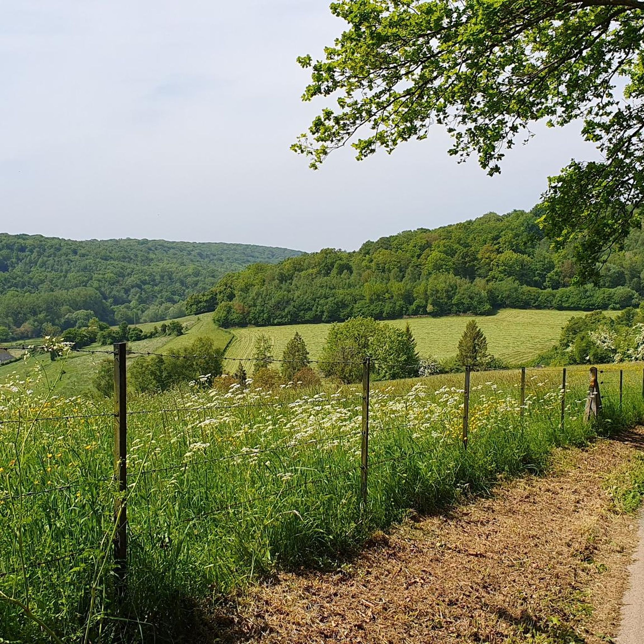
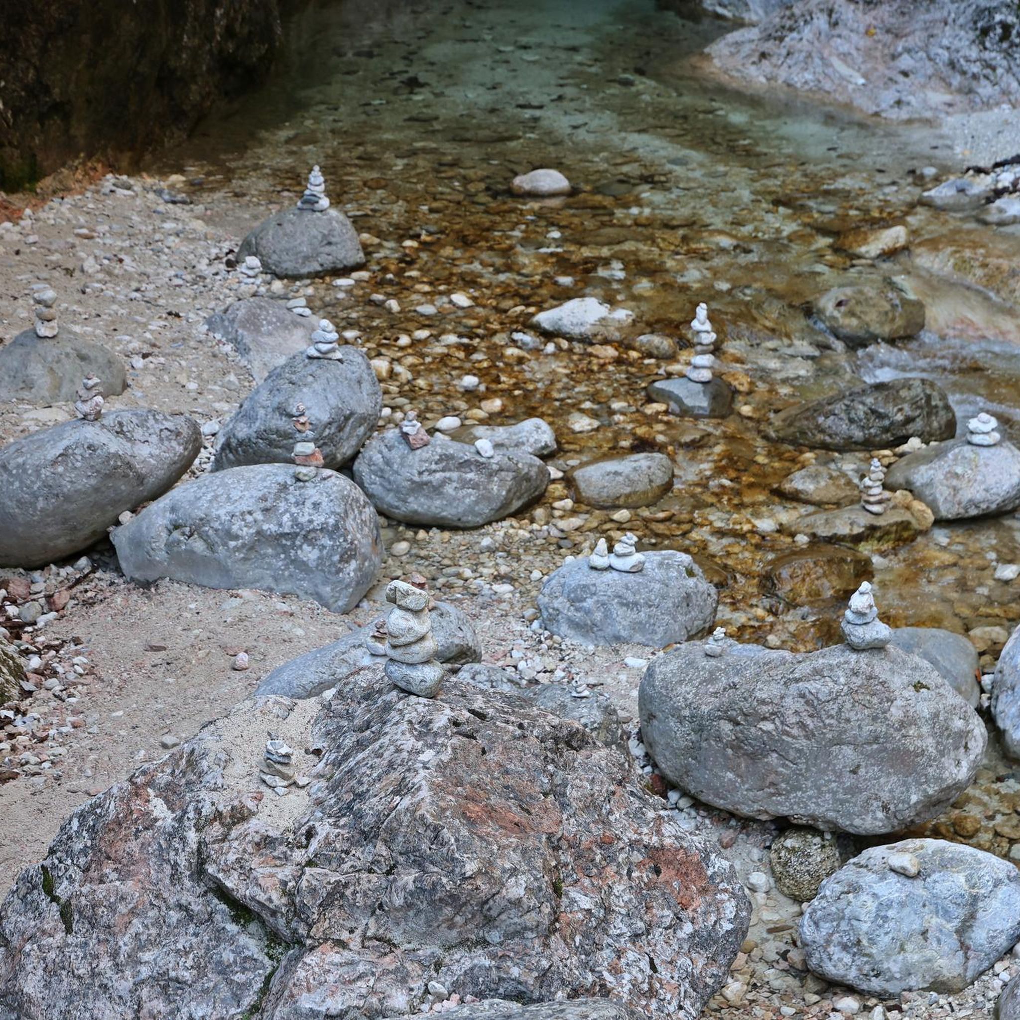
Between Mont-Cauvaire and Montville, this forest path immerses hikers in a pretty green setting. A few meters away, the course of the Clairette runs along the path. You may hear the clicking of the water accompanying your steps.
1
0
Frequently Asked Questions
How many running routes are available in Bosc-Guérard-Saint-Adrien?
There are nearly 400 running routes around Bosc-Guérard-Saint-Adrien, offering a wide variety of options for all skill levels. This includes 40 easy routes, over 300 moderate routes, and 56 difficult trails.
Are there any easy or beginner-friendly jogging routes in the area?
Yes, Bosc-Guérard-Saint-Adrien offers 40 easy running routes perfect for beginners or those looking for a relaxed jog. These routes typically feature less elevation gain and shorter distances, allowing for a comfortable experience amidst the Norman bocage landscape.
What kind of terrain can I expect on the running trails?
The running trails in Bosc-Guérard-Saint-Adrien are characterized by typical Norman bocage landscapes, featuring small fields, hedgerows, and scattered woodlands. The terrain varies in elevation from 65 meters to 178 meters, providing a dynamic and refreshing experience. You'll find a mix of paths through forests and open countryside.
Are there any circular running routes available?
Yes, many of the routes are circular, allowing you to start and finish at the same point. For example, the Running loop from Bosc-Guérard-Saint-Adrien is a moderate 9.4 km circular route with minimal elevation gain, perfect for exploring the local scenery.
Can I bring my dog on the running trails?
While specific dog-friendly designations for each route are not always listed, the rural nature of Bosc-Guérard-Saint-Adrien and its extensive network of trails through woodlands and open fields generally make it suitable for running with dogs. Always ensure your dog is under control and check local regulations regarding leashes, especially near agricultural areas or protected zones.
Are there any family-friendly running options?
For families, the easier and moderate routes are often suitable. Look for shorter, flatter loops that pass through pleasant woodlands or open areas. The region's natural beauty provides a great backdrop for outdoor activities with children, though specific 'family-friendly' routes are not explicitly categorized for jogging. Consider routes with less elevation for a more comfortable family outing.
What do other runners say about the routes in Bosc-Guérard-Saint-Adrien?
The running routes in Bosc-Guérard-Saint-Adrien are highly rated by the komoot community, with an average score of 4.3 stars from nearly 200 reviews. Runners often praise the varied terrain, the peaceful Norman bocage scenery, and the well-maintained paths that make for an enjoyable outdoor experience.
Are there any notable landmarks or points of interest along the running routes?
While the immediate running routes focus on the natural landscape, the broader region of Bosc-Guérard-Saint-Adrien is close to several significant attractions. You could extend your trip to visit historical sites in nearby Rouen, such as the impressive Cathédrale Notre-Dame de Rouen or the iconic Gros Horloge. These offer a cultural complement to your outdoor activities.
What is the longest running route available?
One of the longer and more challenging options is the Running loop from Fontaine-le-Bourg. This difficult route spans 18.1 km (11.2 miles) and features an elevation gain of over 210 meters, typically taking around 2 hours and 5 minutes to complete.
Are there routes that go through forests or wooded areas?
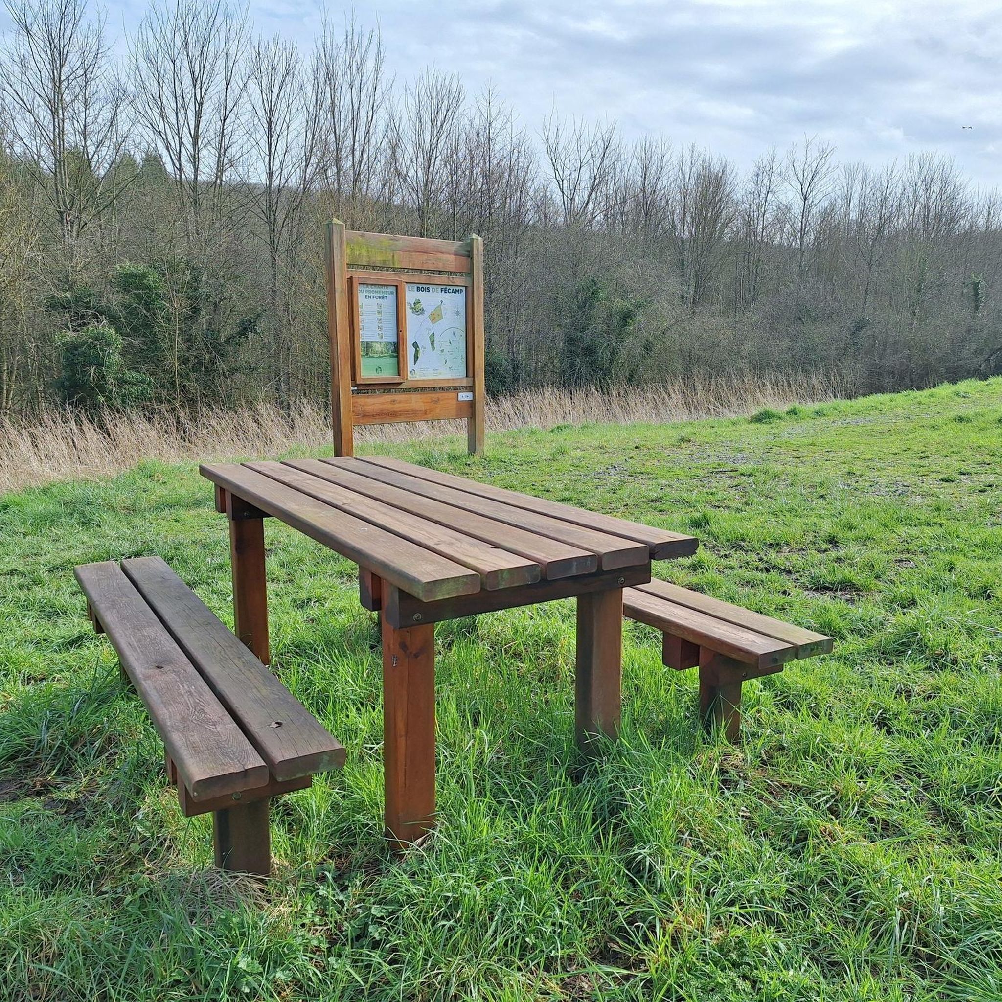
Absolutely. The region is known for its scattered woodlands. Routes like the Bois de Fécamp loop from Fontaine-le-Bourg, a moderate 8.0 km path, wind through beautiful wooded areas, offering shade and a refreshing environment for your run.
Is there a good time of year to go running in Bosc-Guérard-Saint-Adrien?
The Norman bocage landscape is beautiful year-round. Spring and autumn offer pleasant temperatures and vibrant scenery, with blooming flowers or colorful foliage. Summer provides longer daylight hours, while winter can offer crisp, quiet runs, though some paths might be muddy. The area's established running culture, including events like the 'Corrida de Bosc-Guérard', suggests it's suitable for running in various seasons.
Are there any routes with significant elevation changes for a more challenging run?
Yes, for those seeking a challenge, routes like the Lovely forest path – Mont-Cauvaire loop from Mont-Cauvaire offer significant elevation changes. This moderate 12.5 km route includes over 220 meters of ascent, providing a good workout amidst scenic forest paths.
Most popular routes around Bosc-Guérard-Saint-Adrien
Most popular attractions around Bosc-Guérard-Saint-Adrien

Get inspired with the komoot mobile app


Explore more
Browse the best Running Trails & Routes in other regions.
