The best walks and hikes around Sainte-Marie
4.2
(251)
1,186
hikers
67
hikes
Hiking around Sainte-Marie offers diverse terrain, characterized by limestone cliffs, deep gorges, and holm oak forests. The region features varied landscapes, from plateaus to mountain peaks, providing a range of elevations for hikers. Turquoise rivers and scenic valleys are prominent natural features throughout the area. This environment supports a network of trails suitable for exploring the natural beauty of Sainte-Marie.
Best hiking trails around Sainte-Marie
- The most popular hiking route is Montagne de Raton – loop in the Parc naturel…
Last updated: October 11, 2026
4.9
(31)
109
hikers
Moderate hike. Good fitness required. Easily-accessible paths. Suitable for all skill levels.
31
hikers
20.2km
06:55
1,060m
1,060m
Hard hike. Very good fitness required. Easily-accessible paths. Suitable for all skill levels.

4.8
(4)
13
hikers
7.38km
02:29
360m
360m
Moderate hike. Good fitness required. Easily-accessible paths. Suitable for all skill levels.
2.0
(1)
7
hikers
13.6km
04:24
580m
580m
Moderate hike. Good fitness required. Easily-accessible paths. Suitable for all skill levels.
2.0
(1)
7
hikers
13.7km
04:25
580m
580m
Moderate hike. Good fitness required. Easily-accessible paths. Suitable for all skill levels.
Get access to more routes and recommendations from other explorers.
Already have an account?
Our route recommendations are based on thousands of hikes, rides, and runs completed by other people on komoot.
Start today with a free account
Your next adventure awaits.
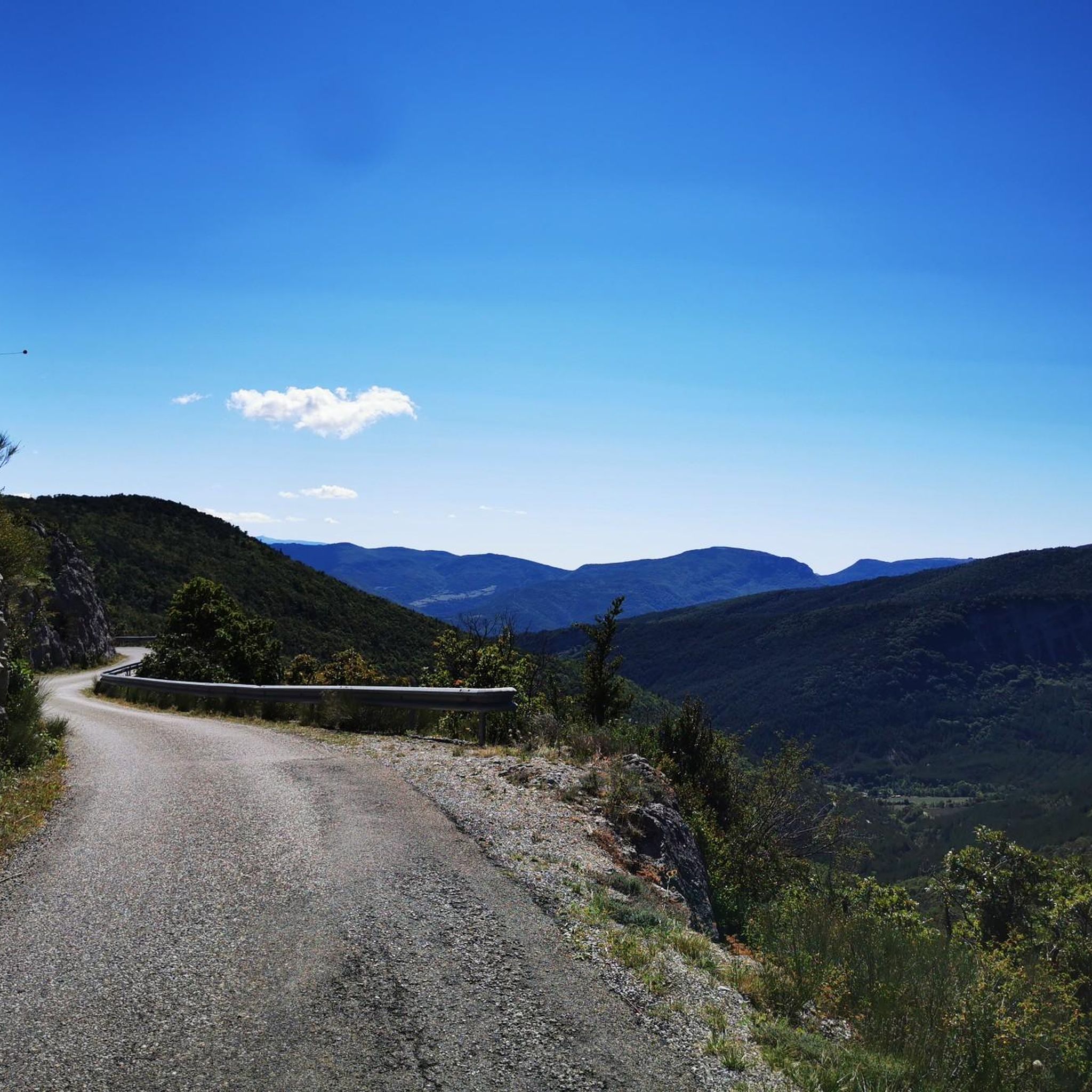
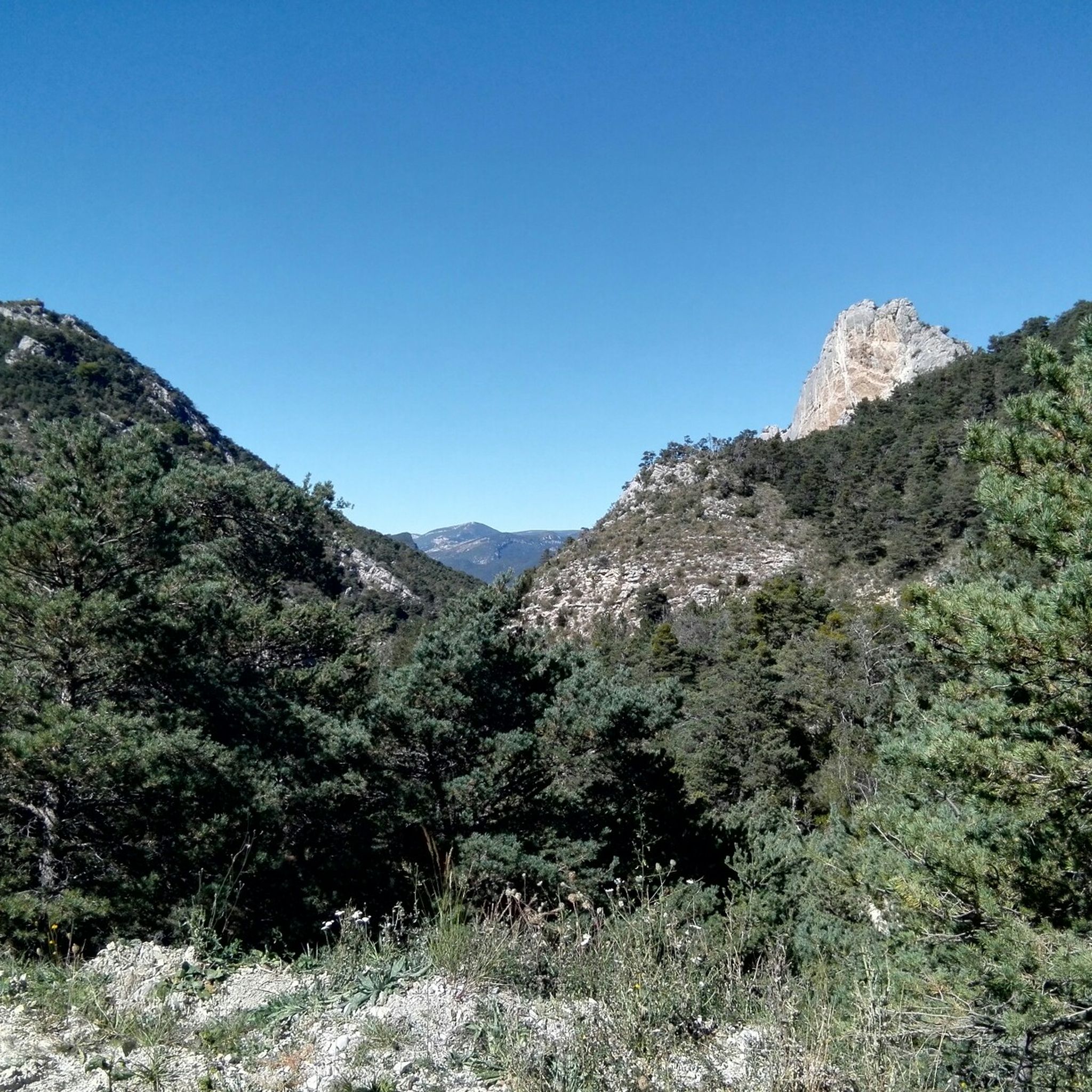
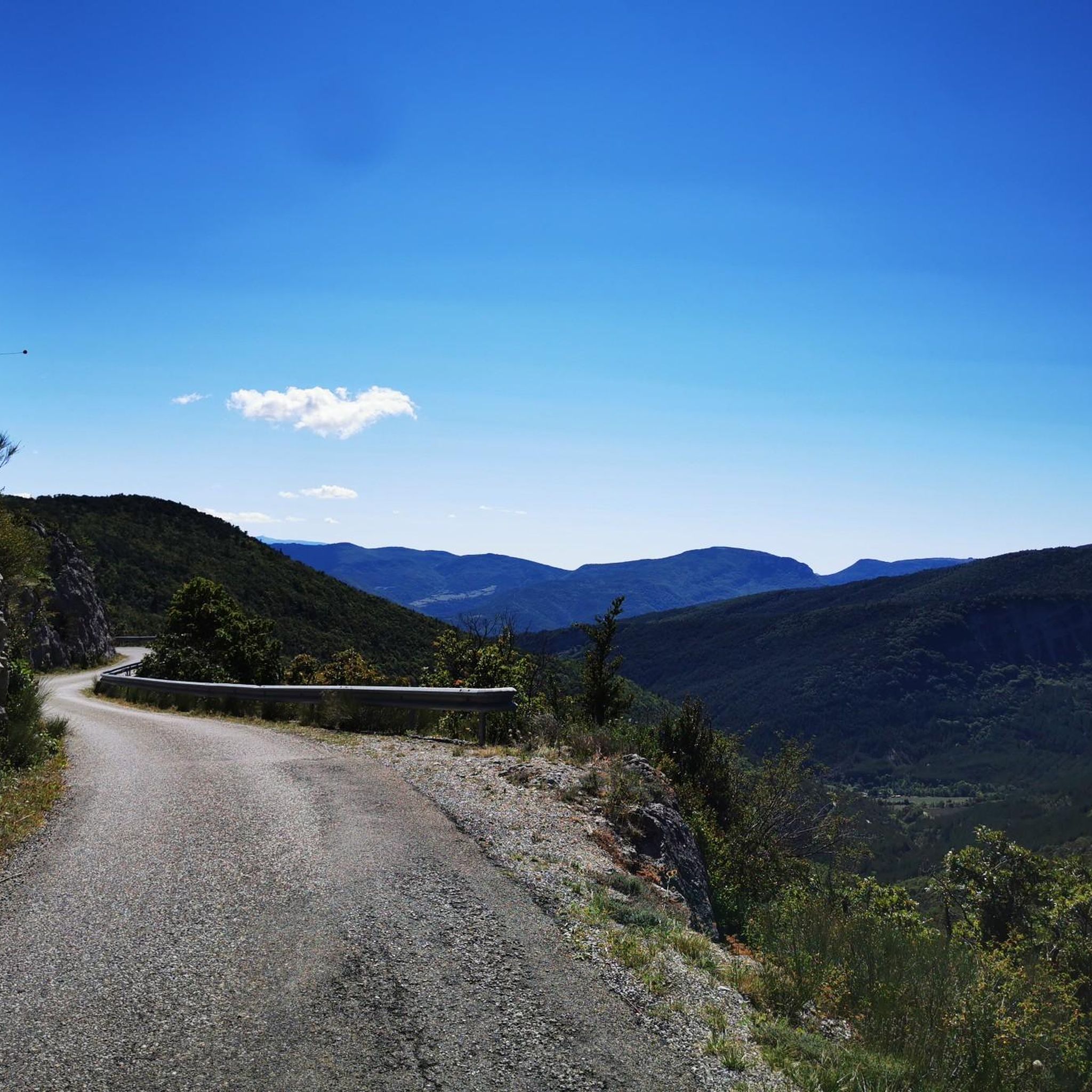
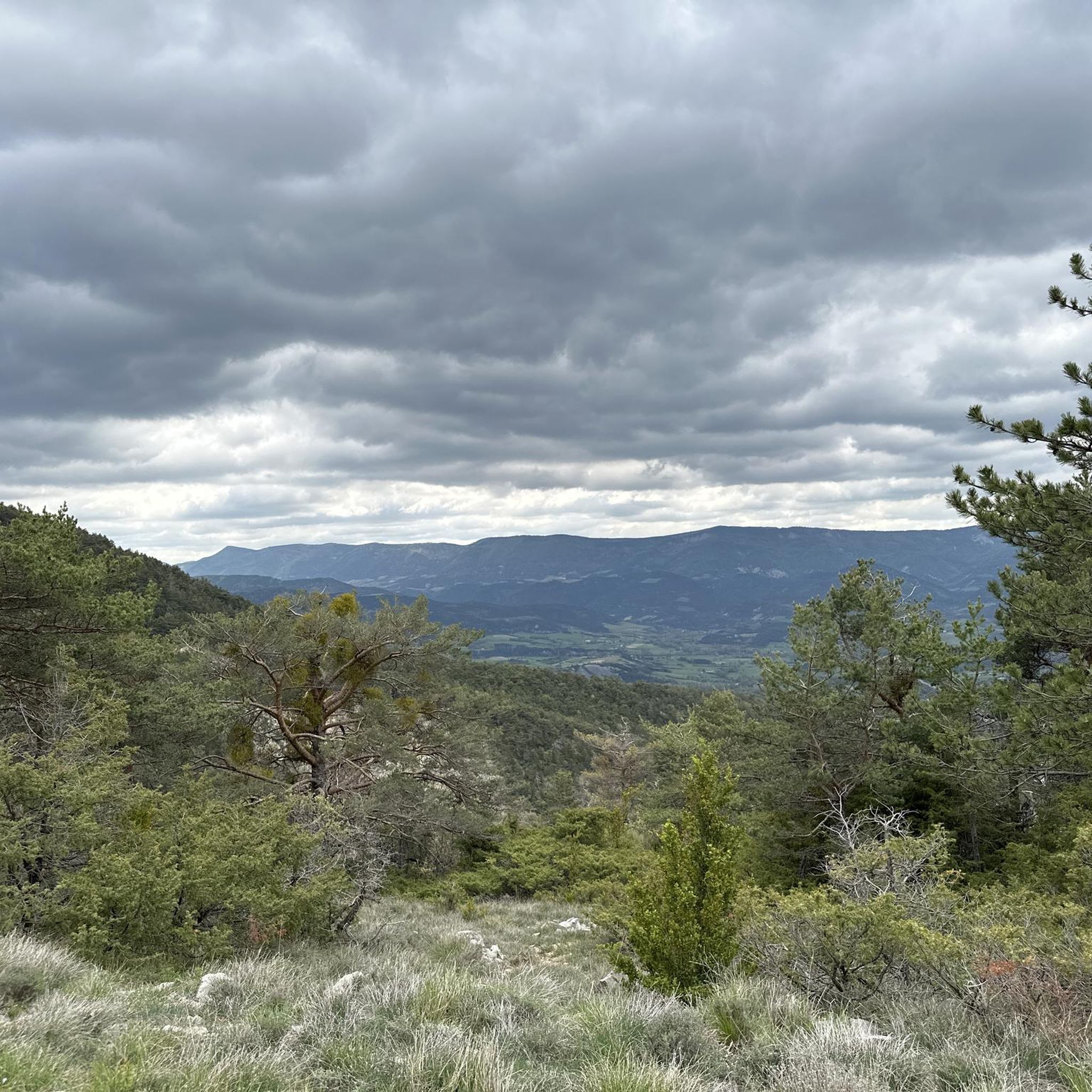
Tips from the Community

The ascent to Col de la Fromagère / Col de Pommerol from Rosans is located in the Hautes-Alpes region. This ascent is 6.6 km long, with a total elevation gain of 371 m. The average gradient of the ascent to Col de la Fromagère / Col de Pommerol from Rosans is 5.6%.
7
0
The ascent to Col de la Fromagère / Col de Pommerol from Rosans is located in the Hautes-Alpes region. This ascent is 6.6 km long, with a total elevation gain of 371 m. The average gradient of the ascent to Col de la Fromagère / Col de Pommerol from Rosans is 5.6%.
5
0
Village surrounded by the Alps.
6
0

bring good shoes and a windbreaker at the top
0
0

Magnificent panorama. Once at the top, it's not very difficult and very pleasant.
0
0

The Col de la Fromagère turns into the Col de Pommerol when you reach the summit. The climb is nevertheless magnificent on a small mountain road, with good percentages sometimes approaching 12%
1
0

Gorges de Pommerol, in the Oule valley north of the Baronnies, between the small villages of Charce and Rosans. The gorges, dug by the Pommerol stream, are made up of large cliffs and scree stone arches. Spectacular.
3
0

Very pleasant and varied path through the communal forest leading to the top of the Raton.
1
0
Frequently Asked Questions
How many hiking trails are available around Sainte-Marie?
There are over 60 hiking trails around Sainte-Marie, offering a diverse range of experiences. You'll find options from easy strolls to more challenging ascents through the region's varied terrain.
What kind of terrain can I expect on hikes in Sainte-Marie?
Hiking around Sainte-Marie is characterized by dramatic limestone cliffs, deep gorges, and holm oak forests. The landscape varies from plateaus to mountain peaks, with turquoise rivers and scenic valleys adding to the picturesque experience. You might encounter steep gradients on routes like the one to Le Grand Margès, which offers breathtaking views of the Gorges du Verdon.
Are there any easy or family-friendly hiking options in Sainte-Marie?
Yes, Sainte-Marie offers 12 easy routes suitable for families or those looking for a relaxed walk. Many trails around the broader Sainte-Marie-la-Mer area are also easy and accessible. While specific family-friendly routes aren't detailed in the provided data, the region generally caters to all skill levels.
What are some notable landmarks or natural features to see while hiking?
The region boasts several interesting features. You can explore the stunning Pommerol Gorges, or visit the historic La Charce Castle. Hikers can also discover mountain passes like Prémol Pass or the Col des Tourette (1126 m), offering scenic views.
Are there any circular hiking routes in Sainte-Marie?
Yes, many routes in Sainte-Marie are circular. For example, the Village of Pommerol loop from Pommerol is a moderate 4.6-mile path, and the Le Fourchat (1,571 m) loop from Col de la Fromagère offers a challenging ascent with rewarding views.
What do other hikers say about the trails in Sainte-Marie?
The routes in Sainte-Marie are highly rated by the komoot community, with an average score of 4.3 stars from over 200 reviews. Hikers often praise the varied terrain, from the dramatic gorges to the peaceful woodlands, and the well-maintained paths that make exploring the natural beauty enjoyable.
Can I find longer, more challenging hikes in the area?
Absolutely. For those seeking a longer adventure, the Pommerol Gorges – View of Pommerol loop from Pommerol is an 8.5-mile trail leading through gorges, often completed in about 4 hours 23 minutes. There are 10 difficult routes available for experienced hikers.
Are there any routes that offer views of the Gorges du Verdon?
While not directly listed in the routes, the region research indicates that Moustiers-Sainte-Marie is an ideal starting point for exploring the stunning Gorges du Verdon. Hikes like the one to Le Grand Margès (1570m) offer breathtaking views of the Gorges, known as Europe's deepest canyon.
What is the best time of year to go hiking in Sainte-Marie?
The region, particularly the Provence-Alpes-Côte d'Azur area, generally offers pleasant hiking conditions for much of the year. Spring and autumn are often ideal, with milder temperatures and vibrant natural colors. Summer can be warm, especially in the gorges, so early morning hikes are recommended.
Are there any specific routes that explore the Parc naturel régional des Baronnies provençales?
Yes, the Montagne de Raton – loop in the Parc naturel régional des Baronnies provençales is a moderate 3.4-mile trail that takes about 2 hours to complete, exploring the natural park's varied landscape.
What kind of elevation changes can I expect on the trails?
The trails around Sainte-Marie feature significant elevation changes, reflecting the region's mountainous and gorge-filled landscape. For instance, the Pommerol Gorges – View of Pommerol loop from Pommerol involves an ascent of over 570 meters, while the Montagne de Raton loop has an elevation gain of around 385 meters.
Most popular attractions around Sainte-Marie

Get inspired with the komoot mobile app


Explore more
Browse the best Hikes in other regions.
