The best running trails around Saint-Julien-Vocance
4.6
(19)
943
runners
66
runs
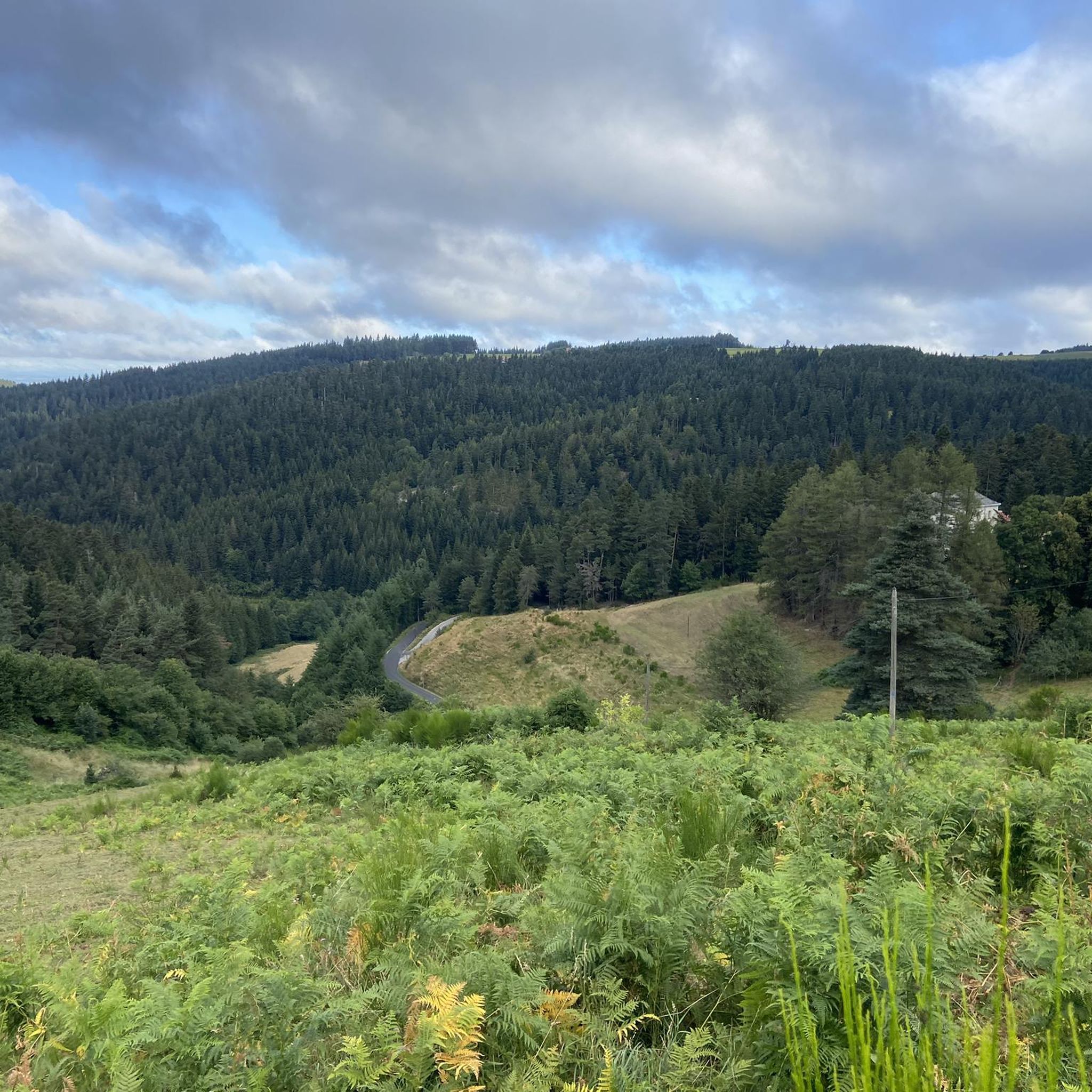
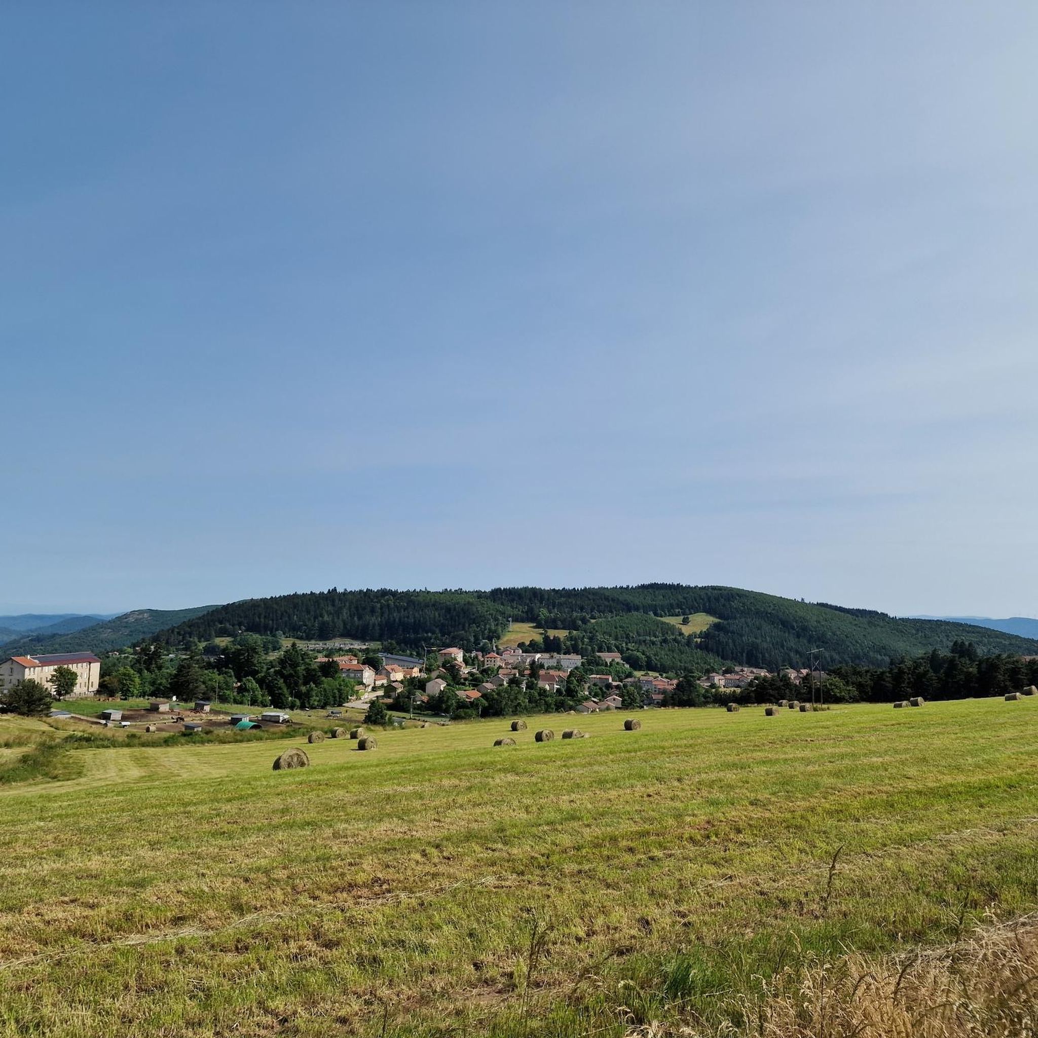
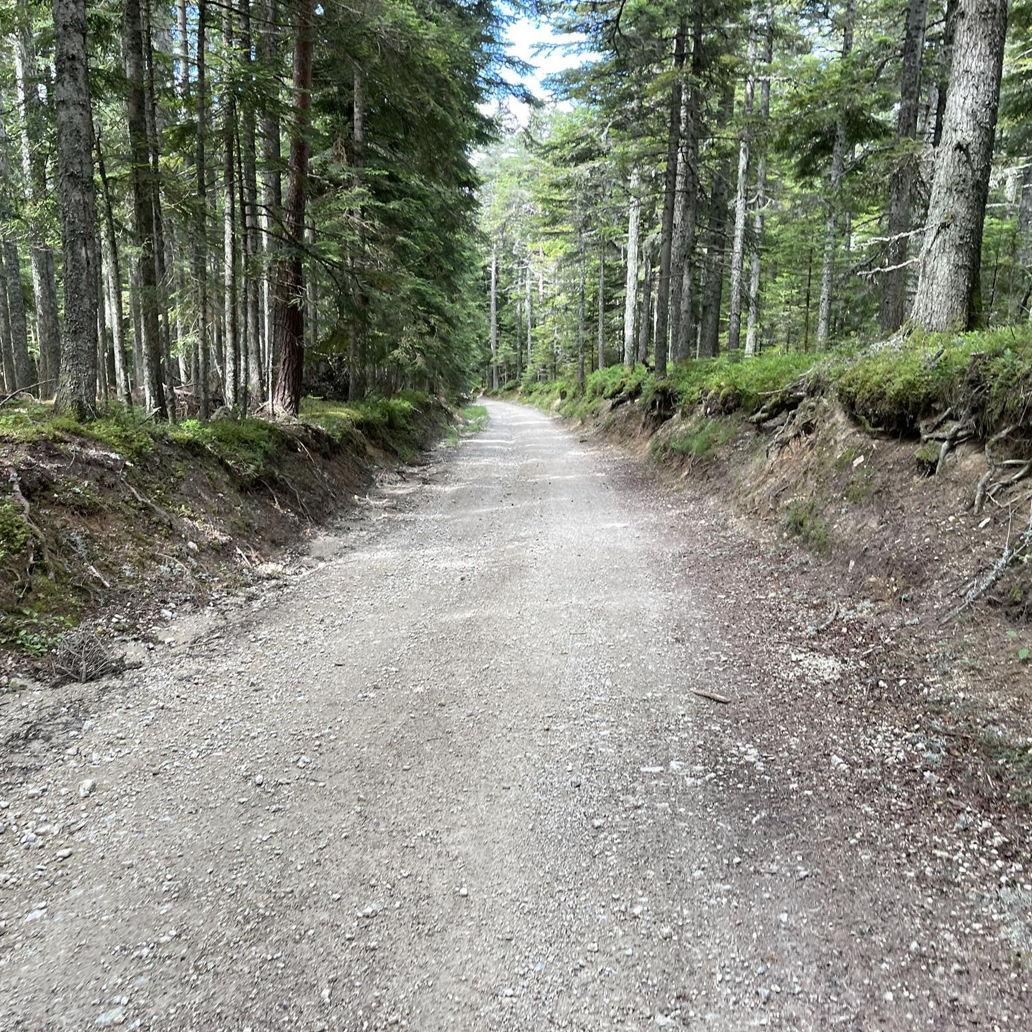
Jogging routes around Saint-Julien-Vocance traverse a diverse landscape in the Ardèche department, characterized by hilly to mountainous terrain with altitudes ranging from 569 meters to over 1,000 meters. The region features extensive forests covering 1,900 hectares, crisscrossed by numerous paths suitable for running. Joggers can also explore trails along the sources of the Cance River, with loops varying from 5 to 14 kilometers. Elevated spots offer panoramic views of the Monts d'Ardèche, Haute-Loire, and the Rhône Valley.
Best jogging routes…
Last updated: July 13, 2026
50
runners
14.8km
01:43
350m
350m
Hard run. Very good fitness required. Mostly paved surfaces. Suitable for all skill levels.
5.0
(1)
31
runners
6.40km
00:41
110m
110m
Moderate run. Good fitness required. Mostly paved surfaces. Suitable for all skill levels.

Sign up for free
32
runners
11.4km
01:32
430m
430m
Hard run. Very good fitness required. Mostly paved surfaces. Suitable for all skill levels.
27
runners
46.8km
06:14
1,700m
1,700m
Hard run. Very good fitness required. Mostly paved surfaces. Suitable for all skill levels.
26
runners
16.5km
02:10
560m
550m
Hard run. Very good fitness required. Mostly paved surfaces. Suitable for all skill levels.
Get access to more routes and recommendations from other explorers.
Sign up for free
Already have an account?
Our route recommendations are based on thousands of hikes, rides, and runs completed by other people on komoot.
Start today with a free account
Your next adventure awaits.
Login or Signup
Tips from the Community

Lively place, lots of shops.
0
0

Beautiful downhill finish for the end of L'Ardéchoise. Be careful at the end of the descent with some very technical turns.
0
1

Place Jean Béal is located in the heart of the village of Saint-Bonnet-le-Froid. It overlooks the Saint-Bonnet church and is an ideal stop for a coffee or for lunch.
0
0
This pretty neo-Romanesque church is located in the heart of the village. It was the work of the architect Louis Besset.
0
0

The Col des Baraques from Annonay is 25 km long with a total drop of 720 m. The average gradient is 2.8% with maximum gradients of 5.5%.
1
0
The Col du Buisson from Saint Félicien is 13km long with a total drop of 377m. The average gradient is 2.9% with maximum gradients of 7.7%.
2
1

A small "highlight" - and a small snack in the Village Miniature, you can also get in for free if you just want to buy something to drink. We were served very friendly and were able to eat the food we had brought with us.
0
0

Frequently Asked Questions
How many running routes are available around Saint-Julien-Vocance?
There are over 60 running routes around Saint-Julien-Vocance listed on komoot, offering a wide variety of options for different fitness levels and preferences.
What kind of terrain can I expect on the jogging trails in Saint-Julien-Vocance?
The region features diverse terrain, ranging from hilly to mountainous, with altitudes varying from 569 meters to over 1,300 meters. You'll find extensive forests, river trails along the Cance, and paths with significant elevation gains, providing options from gentle runs to challenging ascents.
Are there any easy or beginner-friendly running routes in the area?
While many routes offer a moderate to difficult challenge, the area does provide options for various abilities. For a moderate introduction, consider the Running loop from Saint-Bonnet-le-Froid, which is about 4 miles long.
Can I find circular running routes around Saint-Julien-Vocance?
Yes, many of the running paths in Saint-Julien-Vocance are designed as loops. For example, the trails along the sources of the Cance River offer four loops ranging from 5 to 14 kilometers, all starting from Saint-Julien-Vocance itself.
What natural features or scenic views can I expect to see while running?
The routes often pass through vast forests, offering shaded and peaceful environments. You can also enjoy panoramic views from elevated spots like the flanks of Mont Felletin, providing extensive vistas of the Monts d'Ardèche, Haute-Loire, and even the Rhône Valley and Alps on clear days. The trails along the Cance River also offer insights into the natural environment and aquatic life.
Are there any specific landmarks or points of interest along the running trails?
While running, you might pass by several notable points. For instance, some routes traverse mountain passes like Rouvey Pass, Col du Tracol, or Col du Fau (1021 m). The village of Lalouvesc is also a common starting point for several challenging loops.
What do other runners say about the trails in Saint-Julien-Vocance?
The running routes in Saint-Julien-Vocance are highly rated by the komoot community, with an average score of 4.6 stars from over 19 reviews. More than 800 runners have explored the varied terrain, often praising the extensive forests and challenging ascents.
Are there any challenging routes for experienced trail runners?
Absolutely. Saint-Julien-Vocance is known for its difficult routes with significant elevation gains. The Col du Faux – Col du Faux loop from Lalouvesc is a challenging 7-mile path, and the La Garneyre loop from Saint-André-en-Vivarais offers over 500 meters of ascent over 15.7 kilometers.
What is the best time of year for running in Saint-Julien-Vocance?
The extensive forests provide ample shade, making them pleasant for running during warmer months. The varied terrain and natural beauty can be enjoyed across different seasons, though conditions will vary with weather and altitude. Always check local forecasts before heading out.
Are there options for longer distance running or ultra-trail training?
Yes, for those seeking longer distances and significant challenges, routes like the Buisson Pass – Col du Buisson loop from Lalouvesc cover nearly 30 miles with over 1,600 meters of elevation gain, ideal for endurance training.
Is Saint-Julien-Vocance suitable for family-friendly running or walks?
While many routes are moderate to difficult, the area's diverse topography means there are likely flatter, less strenuous paths suitable for families. The marked trails along the gently sloping course of the Cance River, with loops starting from 5 kilometers, could be a good option for a family outing.
Are dogs allowed on the running trails in Saint-Julien-Vocance?
Generally, dogs are welcome on trails in natural areas in France, especially if kept on a leash. However, it's always advisable to check specific local regulations or signage at trailheads, particularly in protected areas, to ensure your dog is permitted.
Where can I find parking near the trailheads?
While specific parking locations are not detailed for every trailhead, villages like Saint-Julien-Vocance and Lalouvesc, which serve as starting points for many routes, typically offer public parking facilities. It's recommended to check maps or local information for designated parking areas before your run.
Most popular routes around Saint-Julien-Vocance
Most popular attractions around Saint-Julien-Vocance

Get inspired with the komoot mobile app


Explore more
Browse the best Running Trails & Routes in other regions.
