The best walks and hikes around Huchenneville
4.4
(125)
798
hikers
86
hikes
Hiking around Huchenneville provides access to a network of trails through wooded countryside and forests. The terrain features varied landscapes, including elevated points that offer panoramic views of the surrounding area. The region is characterized by its verdant environment, with routes often traversing through woodlands and alongside waterways.
Best hiking trails around Huchenneville
- The most popular hiking route is Panorama of Mont Gaubert loop from Abbeville, an 8.8 miles (14.1 km) trail that takes 3 hours 48 minutes to…
Last updated: July 9, 2026
4.7
(3)
29
hikers
12.2km
03:10
70m
70m
Moderate hike. Good fitness required. Easily-accessible paths. Suitable for all skill levels.
4.3
(3)
25
hikers
10.4km
02:38
30m
30m
Moderate hike. Good fitness required. Easily-accessible paths. Suitable for all skill levels.

Sign up for free
4.0
(1)
14
hikers
7.65km
02:07
130m
130m
Moderate hike. Good fitness required. Easily-accessible paths. Suitable for all skill levels.
4.5
(4)
20
hikers
Easy hike. Great for any fitness level. Easily-accessible paths. Suitable for all skill levels.
5.0
(1)
16
hikers
14.1km
03:49
180m
180m
Moderate hike. Good fitness required. Easily-accessible paths. Suitable for all skill levels.
Get access to more routes and recommendations from other explorers.
Sign up for free
Already have an account?
Our route recommendations are based on thousands of hikes, rides, and runs completed by other people on komoot.
Start today with a free account
Your next adventure awaits.
Login or Signup



Tips from the Community

It wasn't there at all today. It probably rained.... 🤔
0
0

The current Abbeville Town Hall is a 20th-century building designed by architect Clément Tambuté and inaugurated in 1960, replacing the original medieval structure that was destroyed during German bombing in May 1940. The modern building features a rectangular design constructed from brick and stone, with a facade supported by pillars and five large glazed bays. A contemporary belfry stands adjacent to the main building, connected by a covered gallery.
1
0
During the French Revolution, the church served as a "Temple of Reason" and hosted a festival in honor of the Supreme Being on June 8, 1794.
0
0
One of the finest examples of Flamboyant Gothic architecture in maritime Picardy, constructed between 1488-1539 for the nave and 1661-1663 for the choir. The church was built on marshy ground near a branch of the Somme River with an unusual north-facing façade instead of the traditional western orientation. During World War II, German artillery bombardment on May 20, 1940, caused a devastating fire that destroyed much of the building, with restoration completed only in 1998.
1
0

A very beautiful, small botanical garden in the middle of the city.
1
0

The previous church of Pont-Rémy was built in the 15th century near the feudal castle. Its dilapidation led the municipality to decide to build a new place of worship in the center of the village. Construction lasted from 1867 to 1871.
0
0


Don't forget to stop at the bakery opposite the abbey church which makes the best "gâteau battu" in the region!
0
0
Frequently Asked Questions
How many hiking trails are available around Huchenneville?
There are over 80 hiking routes around Huchenneville, offering a wide range of options for different preferences and skill levels. These include 42 easy routes and 40 moderate routes.
What kind of terrain can I expect on hikes around Huchenneville?
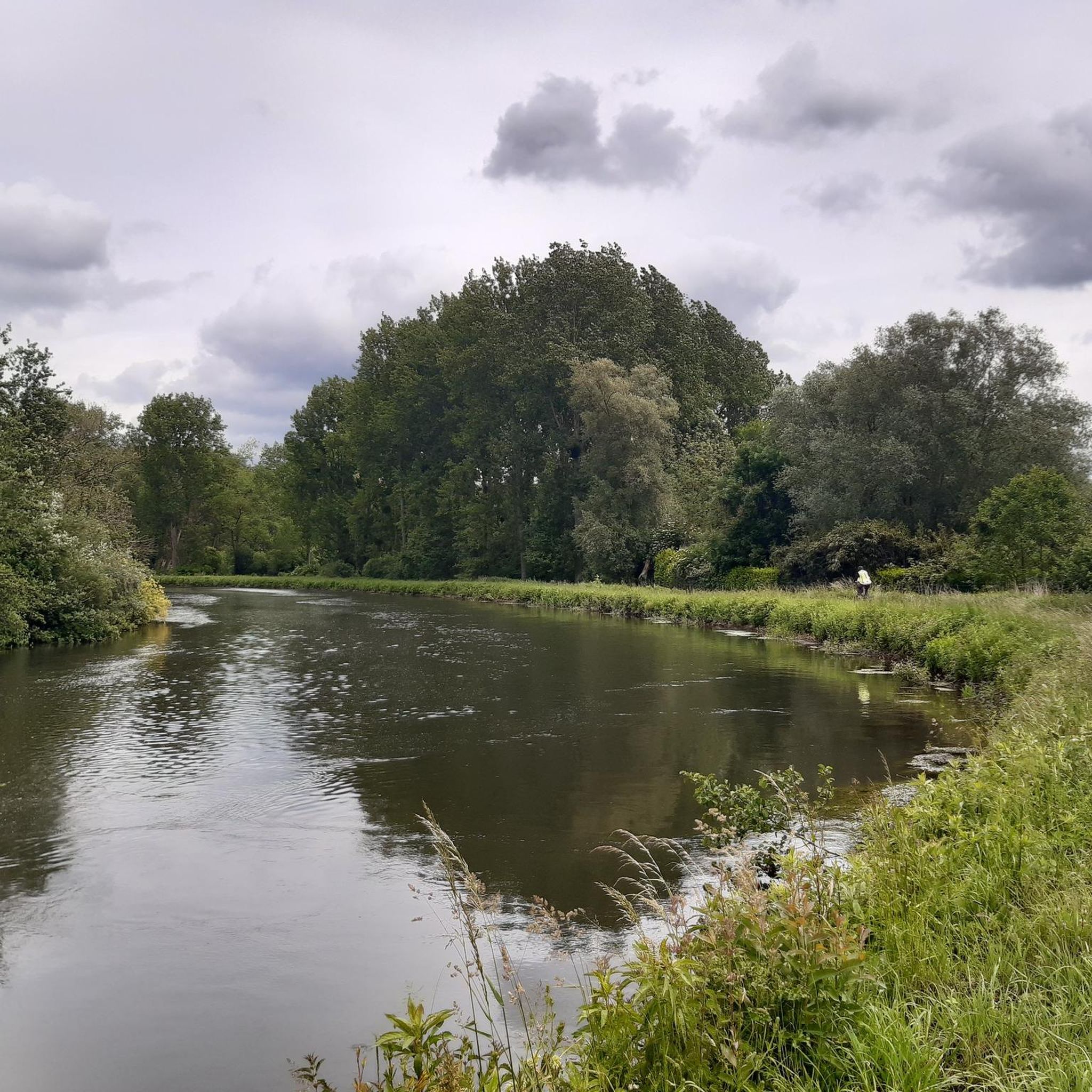
Hikes around Huchenneville primarily feature wooded countryside and forests. You'll encounter varied landscapes, including elevated points that offer panoramic views of the surrounding area. Many routes also traverse alongside waterways, such as the Canal Somme.
Are there any easy hiking options suitable for families or casual walkers?
Yes, Huchenneville offers many easy hiking options. For example, the The Canalized Somme – The Somme canalised loop from Eaucourt-sur-Somme is an easy 5.6 km (3.5 miles) trail that follows canal-side paths, perfect for a relaxed outing and often completed in about 1 hour 24 minutes.
Are there any circular hiking routes in the Huchenneville area?
Yes, many of the trails around Huchenneville are circular. A notable example is the Panorama of Mont Gaubert loop from Abbeville, a moderate 14.1 km (8.8 miles) route that offers panoramic views. Another popular circular option is the Eaucourt Castle loop from Mareuil-Caubert, which is 13.4 km (8.3 miles) and leads through wooded areas.
What are some interesting landmarks or places to explore near the hiking trails?
While hiking, you can explore several interesting landmarks and natural features. The Somme Valley itself is a prominent feature. You might also encounter historical sites like Eaucourt Castle or enjoy the natural beauty of Parc d'ermonville. For a different perspective, the Cycle path along the Canal Somme offers a linear exploration opportunity.
What do other hikers enjoy most about hiking in Huchenneville?
The area is highly rated by the komoot community, with an average score of 4.4 stars from over 100 reviews. Hikers often praise the quiet wooded countryside, the varied landscapes, and the panoramic views from elevated points. The network of trails is appreciated for offering options suitable for different ability levels.
Are there any specific trails that offer panoramic views?
Yes, the region is known for its elevated points offering scenic overlooks. The Panorama of Mont Gaubert loop from Abbeville is specifically highlighted for its panoramic views from Mont Gaubert. The general terrain description also mentions 'Monts et panoramas,' indicating several routes will provide scenic vistas.
Is there a well-known local circuit for hikers?
Yes, 'The Inval Circuit' is a prominent local attraction. This 10-kilometer loop starts and ends at Huchenneville Town Hall, offering a few hours of relaxation through wooded countryside and natural landscapes with panoramic views. More details can be found on somme-tourisme.com.
Are there any historical sites or castles along the hiking routes?
Yes, some routes pass by historical landmarks. The Eaucourt Castle loop from Mareuil-Caubert is an example of a trail that leads through wooded areas and past such sites. You might also find other historical points of interest like the Saint-Vulfran Collegiate Church, Abbeville or the Church of the Holy Sepulchre of Abbeville in the broader vicinity.
What is the best time of year to go hiking in Huchenneville?
While specific seasonal data isn't provided, the descriptions of wooded countryside and forests suggest that spring and autumn would be ideal for hiking, offering pleasant temperatures and vibrant natural colors. Summer would also be suitable, especially for shaded routes, while winter conditions might require checking local weather forecasts.
Are there any longer, more challenging hikes available?
While there are no routes classified as 'difficult' in the immediate Huchenneville area, there are 40 moderate routes. The longest moderate route listed is the Panorama of Mont Gaubert loop from Abbeville, which is 14.1 km (8.8 miles) and takes approximately 3 hours 48 minutes to complete, offering a good challenge with elevation gain.
Most popular routes around Huchenneville
Most popular attractions around Huchenneville

Get inspired with the komoot mobile app


Explore more
Browse the best Hikes in other regions.
