The best walks and hikes around Saint-Étienne-De-Lugdarès
4.6
(504)
3,739
hikers
12
hikes
Hiking around Saint-Étienne-De-Lugdarès offers diverse landscapes within the Massif Central mountain range, situated at an altitude of 1,033 meters. The region features mountainous terrain with elevations ranging from 969 to 1485 meters, including volcanic peaks known as "sucs." Trails traverse varied natural environments such as forests, peat bogs, moors, and green valleys, with streams and lakes also present. This area is recognized as a Global Geopark by UNESCO.
Best hiking trails in Saint-Étienne-De-Lugdarès
- The most popular hiking route is Castle…
Last updated: June 29, 2026
4.6
(5)
57
hikers
9.23km
02:46
290m
290m
Moderate hike. Good fitness required. Easily-accessible paths. Suitable for all skill levels.
5.0
(5)
28
hikers
16.6km
05:05
560m
560m
Hard hike. Very good fitness required. Easily-accessible paths. Suitable for all skill levels.

Sign up for free
4.6
(5)
60
hikers
9.90km
02:57
300m
300m
Moderate hike. Good fitness required. Easily-accessible paths. Suitable for all skill levels.
4.8
(4)
34
hikers
5.62km
01:40
170m
170m
Easy hike. Great for any fitness level. Easily-accessible paths. Suitable for all skill levels.
5.0
(4)
15
hikers
17.0km
05:00
470m
480m
Hard hike. Very good fitness required. Easily-accessible paths. Suitable for all skill levels.
Get access to more routes and recommendations from other explorers.
Sign up for free
Already have an account?
Our route recommendations are based on thousands of hikes, rides, and runs completed by other people on komoot.
Start today with a free account
Your next adventure awaits.
Login or Signup

Tips from the Community

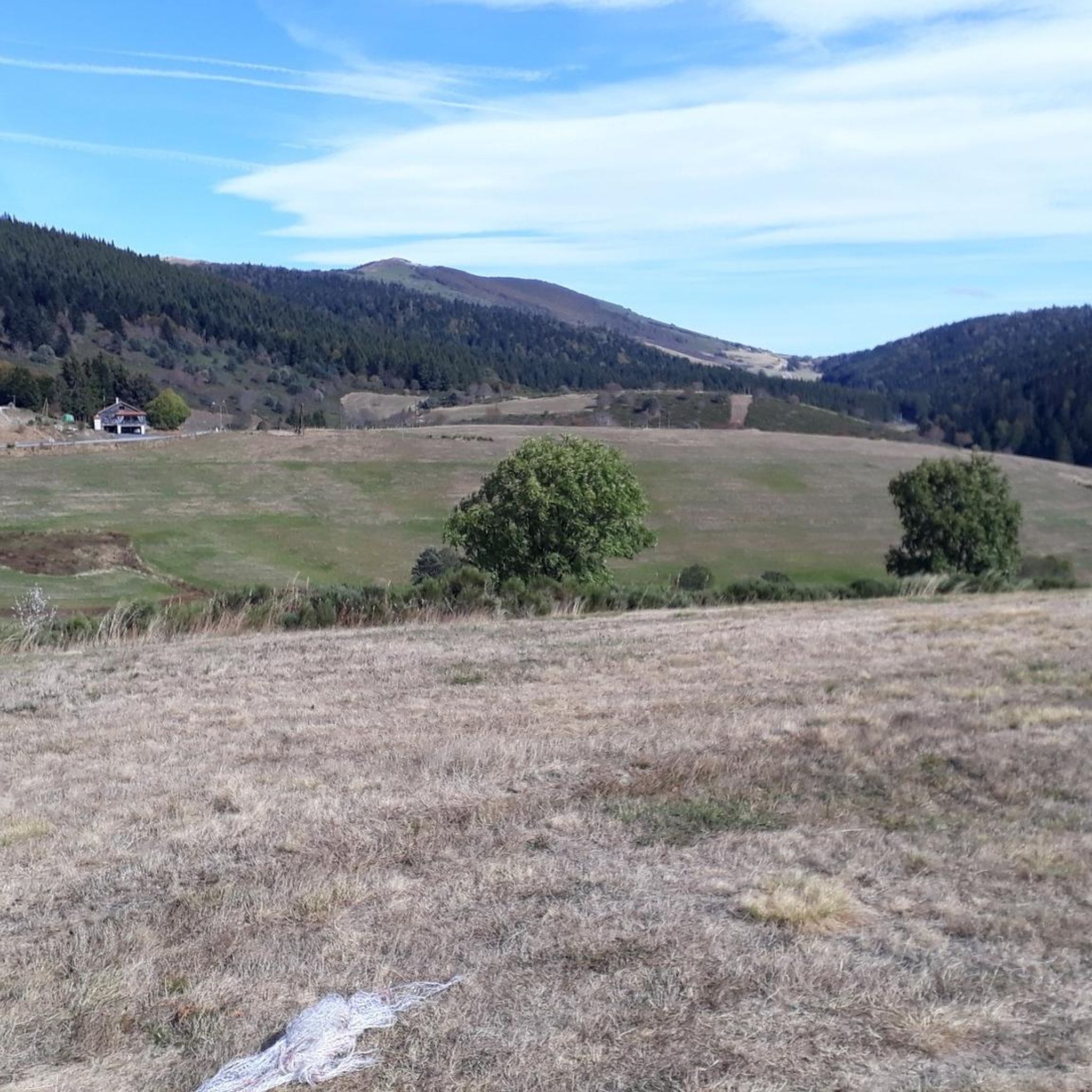
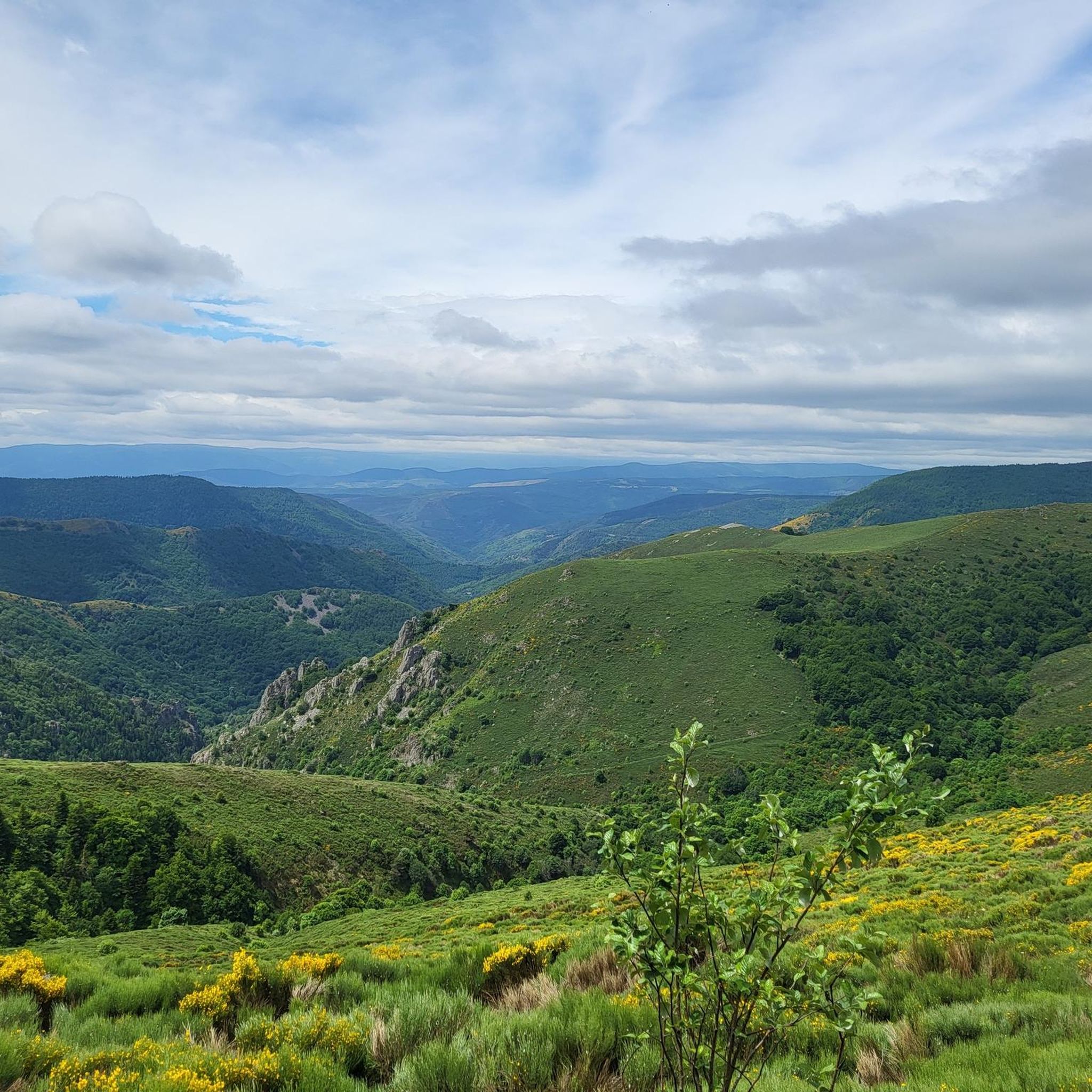
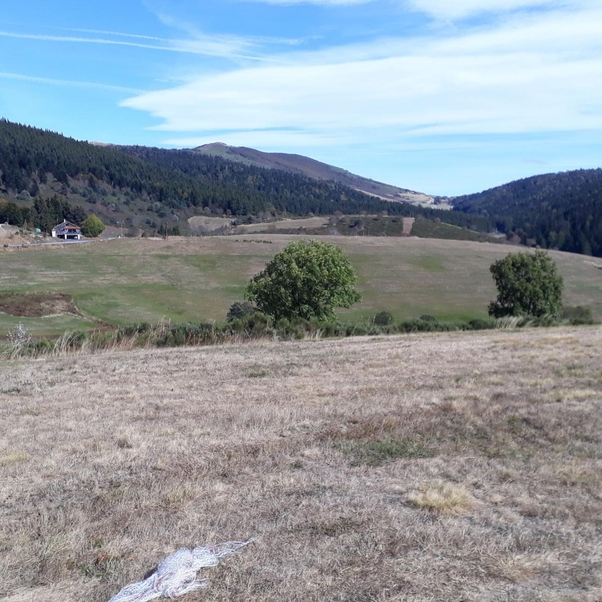
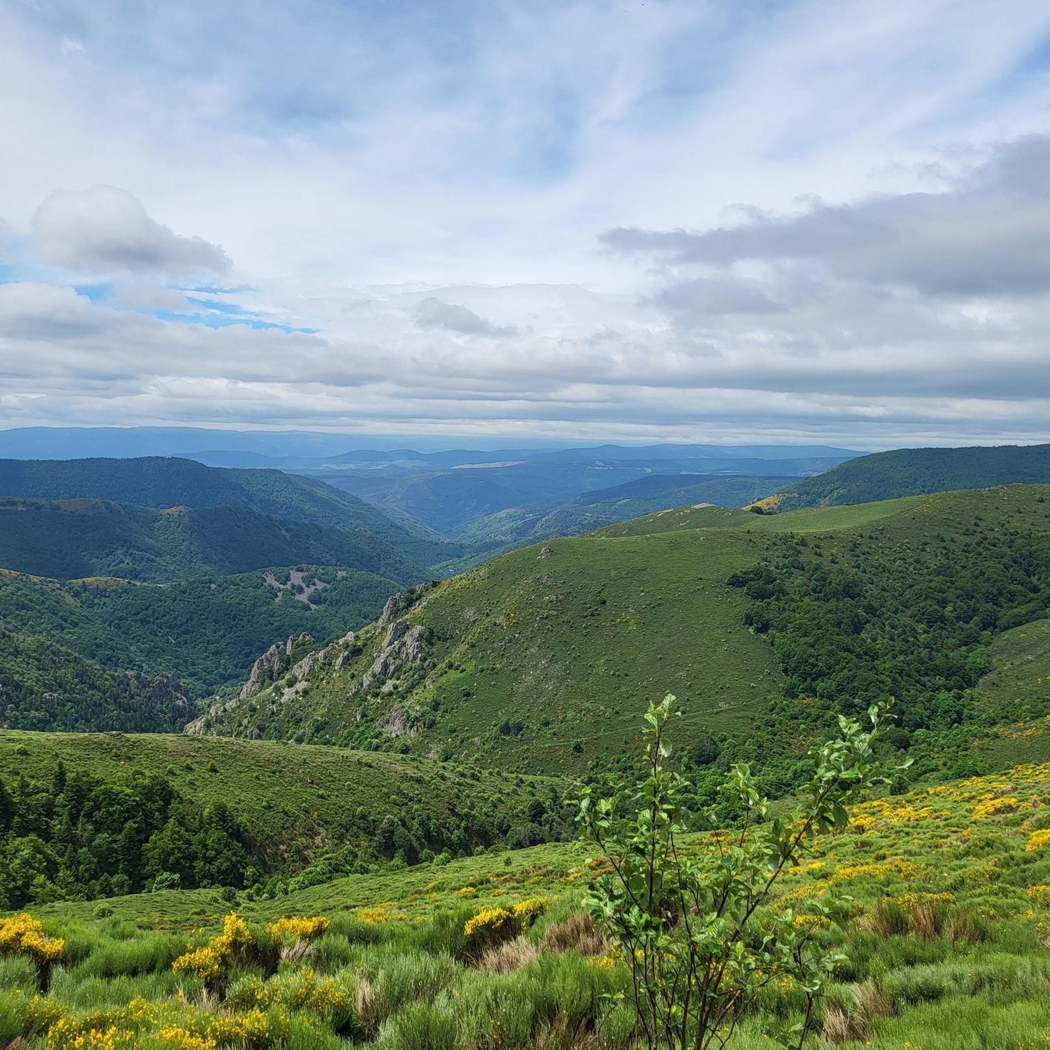
nice view of the surroundings
0
0


Break for lunch at the Lanarce pizzeria, a treat, and always well received
0
0

The Col du Pendu from the Col du Bez is short (3 km) but with an average gradient of 7% peaking at 1,435 meters above sea level with sections at a maximum gradient of 8.5%.
0
0

This watershed limit is actually a bit random, because it is difficult to locate precisely, as the geography can change. It hydrographically divides the watersheds. In this case here that of the Mediterranean zone and that of the Atlantic zone. Very often, a watershed is associated with a pronounced difference in climates.
1
0

Ideal crossing point, refueling and rest. Far from everything, in the middle of nature and at the intersection of the watershed, secondary roads and GR. There you will find quality catering, homemade charcuterie and affordable rooms with a very friendly welcome. A real little paradise for a break or for a night!
1
0

Here you are riding on ‘Ligne de Partage des Eaux’, the watershed line where the water flows either towards the Mediterranean or towards the Atlantic.
1
0

Very nice climb starting from the Souche with an arrival at the pass worthy of the Alps.
0
0
Frequently Asked Questions
How many hiking trails are available around Saint-Étienne-De-Lugdarès?
There are nearly 150 hiking trails around Saint-Étienne-De-Lugdarès, catering to various skill levels. You'll find a good mix of easy strolls, moderate paths, and more challenging routes for experienced hikers.
What types of landscapes can I expect to see while hiking in Saint-Étienne-De-Lugdarès?
The region offers incredibly diverse landscapes. You'll hike through mountainous terrain with volcanic peaks known as 'sucs,' including Mont Mézenc and Mont Gerbier-de-Jonc. Trails also traverse forests, peat bogs, moors, and green valleys, with scenic streams like the Masméjean and various lakes.
Are there any family-friendly hiking options in Saint-Étienne-De-Lugdarès?
Yes, Saint-Étienne-De-Lugdarès has a good selection of easier trails suitable for families. For instance, a 2.6 km route through the village itself allows you to explore its heritage, including the impressive 19th-century church. Many of the 31 easy routes available are great for a family outing.
What interesting historical sites or landmarks can I visit while hiking?
Hikers can discover several historical sites. The medieval Luc Castle, a former military stronghold, is a notable attraction. You can also explore the ruins of Mazan-l'Abbaye, which features a contemporary art installation. The Hamlet of Hubacs, linked to the legend of the Beast of Gévaudan, also offers historical interest.
Are there any circular hiking routes in the area?
Yes, many routes in Saint-Étienne-De-Lugdarès are circular. A popular choice is the Castle Circuit - loop starting from Luc, which is 8.4 km long and offers views of the historic Château de Luc. Another option is the Hiking loop from La scierie, a moderate 9.2 km path exploring varied natural environments.
What do other hikers enjoy most about hiking in Saint-Étienne-De-Lugdarès?
The area is highly rated by the komoot community, with an average score of 4.6 stars from over 500 reviews. Hikers often praise the diverse landscapes, from volcanic peaks to green valleys, and the well-maintained trails that cater to all abilities. The unique blend of natural beauty and historical sites is also frequently highlighted.
Are there any challenging or long-distance trails for experienced hikers?
Yes, for experienced hikers, there are 40 difficult routes available. The Village Borne – Medieval keep tower loop from Col de Pratazanier is a challenging 16.5 km trail that leads through the scenic Gorges de la Borne. The region also provides access to long-distance trails like the GR3 and GR7.
Can I find trails that feature water elements like lakes or rivers?
Absolutely. The region features several lakes and rivers, such as Auradoux Pond and Lake Issarlès, offering opportunities for walks and swimming breaks. The valley of the Masméjean stream, with its oxygenated white water, also adds to the scenic beauty of many routes.
What is the unique geographical feature of the region that hikers can explore?
A unique feature is the invisible border between the Mediterranean and Atlantic watersheds. There's a dedicated hiking trail highlighting this, dotted with contemporary art installations known as 'Mires' at Suc de Montat, offering an immersive experience into this geographical significance.
Is Saint-Étienne-De-Lugdarès a good destination for outdoor activities year-round?
Yes, Saint-Étienne-De-Lugdarès is a year-round destination. While hiking is popular in warmer months, the area also offers options for snowshoeing in winter and mountain biking on over fifty circuits, ensuring activities for outdoor enthusiasts throughout the year.
Are there any trails that offer views of volcanic peaks?
Many trails in the region provide views of its characteristic volcanic peaks, known as 'sucs.' You can explore routes that offer vistas of Mont Mézenc and Mont Gerbier-de-Jonc, which are prominent features of the Massif Central mountain range in this area.
Are there any trails that explore the Gorges de la Borne?
Yes, hikers can discover the scenic Gorges de la Borne. The Village Borne – Medieval keep tower loop from Col de Pratazanier is a longer, more challenging route that leads through these impressive gorges, offering stunning natural beauty.
Most popular routes around Saint-Étienne-De-Lugdarès
Most popular attractions around Saint-Étienne-De-Lugdarès

Get inspired with the komoot mobile app


Explore more
Browse the best Hikes in other regions.
