The best road cycling routes around Poids-De-Fiole
4.5
(291)
6,976
riders
339
rides
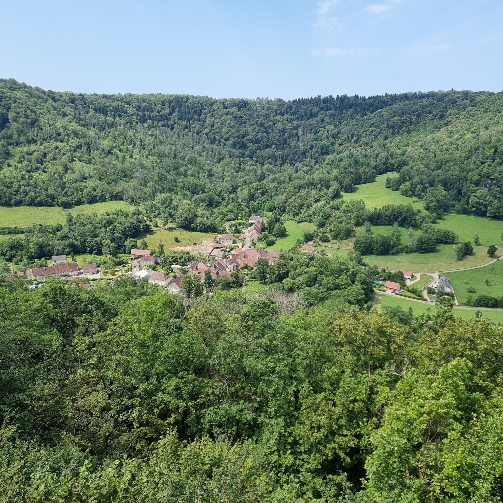
Road cycling routes around Poids-De-Fiole are situated within the Jura region of France, characterized by a diverse topography that includes lakes, valleys, and forests. The area offers varied terrain for road cyclists, from dedicated tarmac paths to routes that traverse historical railway lines. This landscape provides a mix of gradients and scenic vistas suitable for different cycling preferences.
Best road cycling routes around Poids-De-Fiole
- The most popular road cycling route is View of the Ain at Pont-de-Poitte – Pont-de-Poitte loop…
Last updated: July 15, 2026
5.0
(3)
35
riders
57.3km
02:29
460m
460m
Moderate road ride. Good fitness required. Mostly well-paved surfaces and easy to ride.
4.0
(3)
38
riders
Moderate road ride. Good fitness required. Mostly well-paved surfaces and easy to ride.

Sign up for free
4.5
(2)
31
riders
51.9km
02:15
460m
460m
Moderate road ride. Good fitness required. Mostly well-paved surfaces and easy to ride.
4.7
(6)
20
riders
29.9km
01:31
490m
490m
Moderate road ride. Good fitness required. Mostly well-paved surfaces and easy to ride.
9
riders
92.9km
04:23
1,190m
1,190m
Hard road ride. Very good fitness required. Mostly well-paved surfaces and easy to ride.
Get access to more routes and recommendations from other explorers.
Sign up for free
Already have an account?
Our route recommendations are based on thousands of hikes, rides, and runs completed by other people on komoot.
Start today with a free account
Your next adventure awaits.
Login or Signup

Tips from the Community


The bridge separates two departments, the Jura and the Ain. "Iron bridge. For several centuries, the Ain was crossed at Thoirette using a ferry, called Christouphe's ferry, named after the commune where the passenger resided. From 1808 to 1811, the riparian communes contributed to building a bridge in place of this ferry. The project had been drawn up by Mr. Cordier, from Orgelet, an engineer then in charge of directing the works for the Simplon road. Various obstacles opposed the execution of this work. It was not until 1829 that an iron bridge was built, which collapsed in 1843. The Ain department has just replaced it with an iron bridge currently open to traffic". Statistique de la France - 1855 - Ministère de l'Agriculture by Imprimerie Impériale in Paris - p53.
0
0


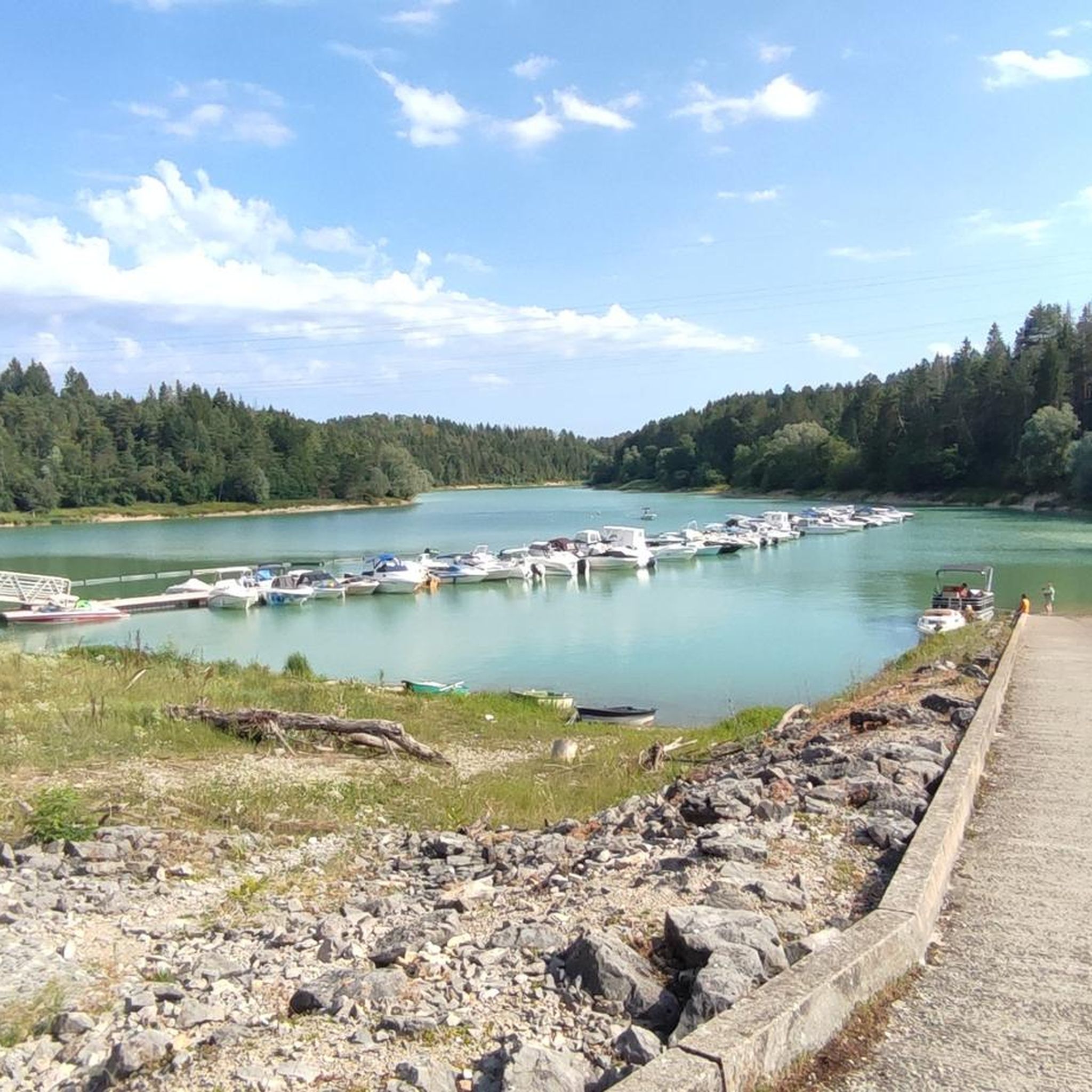
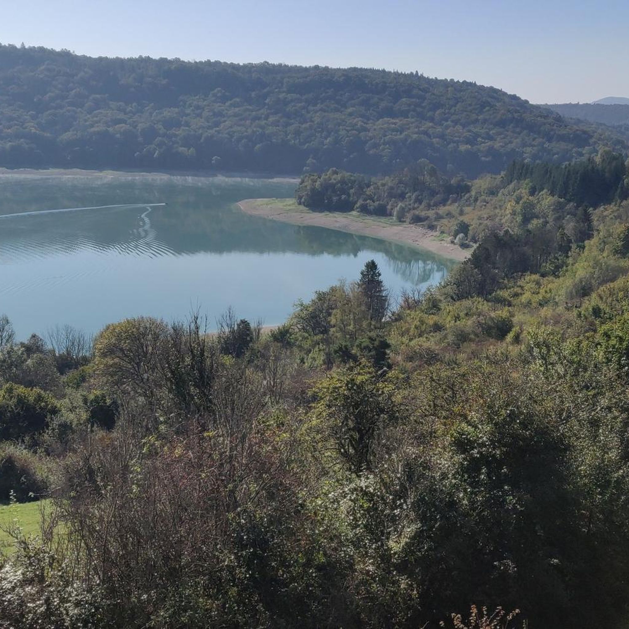
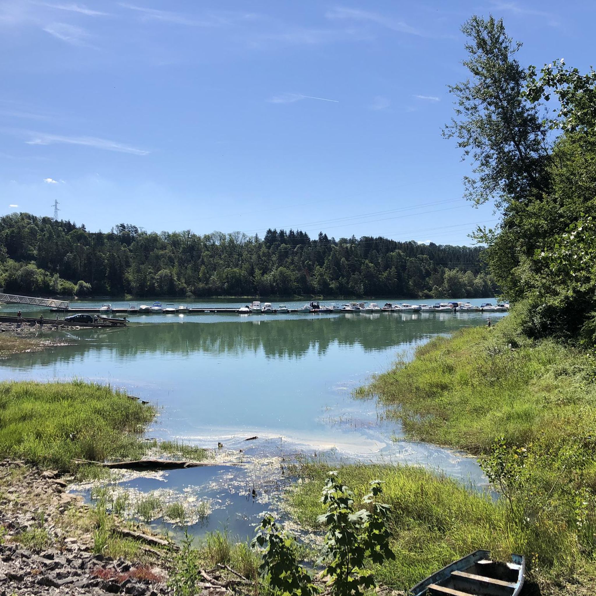
Parking lot on the road with a beautiful view of the Lac de Vouglans, crossed by the Ain.
0
0

This view of Lake Vouglans is a breathtaking panorama of deep blue waters framed by rolling hills and lush green forests. As you approach, the lake stretches for an impressive 35 kilometres. Vouglans is the third largest artificial lake in France, created by the construction of the Vouglans Dam.
1
0

Frequently Asked Questions
What kind of terrain can I expect on road cycling routes around Poids-De-Fiole?
The Poids-De-Fiole area, nestled in the Jura region, offers a diverse topography for road cyclists. You'll find routes traversing valleys, forests, and past lakes, with a mix of gradients. Some routes utilize dedicated tarmac paths and old railway lines, providing smoother surfaces, while others offer more varied terrain characteristic of the Jura Mountains.
Are there road cycling routes suitable for beginners or those looking for an easy ride?
Yes, Poids-De-Fiole has options for all skill levels. There are over 35 easy road cycling routes available. These often follow greenways and old railway lines, which are known for their gentle gradients and smooth surfaces, making them ideal for leisurely rides.
What are some notable natural attractions I might see while cycling in the region?
The region is rich in natural beauty. You can encounter impressive features like the Baume-les-Messieurs Tufa Waterfall and the ancient Grottes de Baumes — Waterfall and Cave. Many routes also offer stunning views from points like the Roches Viewpoint (Overlook of the Baume-les-Messieurs reculée), showcasing the deep valleys and preserved natural sites of the Jura.
How many road cycling routes are available in total around Poids-De-Fiole?
There are over 340 road cycling routes around Poids-De-Fiole, catering to various preferences and skill levels. This includes a significant number of moderate and challenging options, alongside the easier trails.
Can I find routes that pass by lakes in the Poids-De-Fiole area?
Absolutely. The vicinity is home to several beautiful lakes. For instance, the route View of the Ain at Pont-de-Poitte – Lac de Clairvaux-les-Lacs loop from Lons-le-Saunier specifically passes by Lake Clairvaux-les-Lacs, offering scenic lakeside views during your ride.
Are there any routes that follow old railway lines?
Yes, the region features greenways and paths that follow old railway lines, such as the 'Voie Verte PLM cycle path.' These routes, like the intriguing 'Old Railway Tunnel loop from Publy,' often provide smooth surfaces and gentle gradients, making for a unique cycling experience.
What is the general difficulty level of road cycling routes in this area?
The routes around Poids-De-Fiole offer a good mix of difficulties. While there are over 35 easy routes, the majority are moderate (over 200 routes), and there are also more than 100 difficult routes for experienced cyclists seeking a challenge. This ensures options for all fitness levels.
What do other cyclists say about road cycling in Poids-De-Fiole?
The road cycling routes in Poids-De-Fiole are highly regarded by the komoot community, with an average rating of 4.5 stars from over 250 reviews. Cyclists often praise the varied terrain, scenic vistas, and the well-maintained paths that make exploring the Jura region enjoyable.
Are there any specific viewpoints along the road cycling routes?
Yes, the region is known for its panoramic viewpoints. The Roches Viewpoint (Overlook of the Baume-les-Messieurs reculée) is a notable spot offering expansive views over the landscape. Routes like La Percée Pass – Belvédère de Grange-sur-Baume loop from Lons-le-Saunier are designed to lead through varied terrain with scenic overlooks.
Can I find circular road cycling routes around Poids-De-Fiole?
Many of the road cycling routes in the area are designed as loops, allowing you to start and end at the same point. For example, the View of the Ain at Pont-de-Poitte – Pont-de-Poitte loop from Saint-Maur is a popular circular route that offers views of the Ain river.
What is the typical elevation gain on road cycling routes in the region?
Elevation gain varies significantly depending on the route's difficulty and length. Moderate routes, such as Orgelet - Vernantois – Watermill loop from Saint-Maur, can feature over 640 meters of ascent, while others might have less. The diverse topography of the Jura ensures a range of climbing challenges.
Most popular routes around Poids-De-Fiole
Most popular attractions around Poids-De-Fiole

Get inspired with the komoot mobile app


Explore more
Browse the best Road cycling routes in other regions.
