The best road cycling routes around Fontclaireau
4.3
(5)
172
riders
113
rides
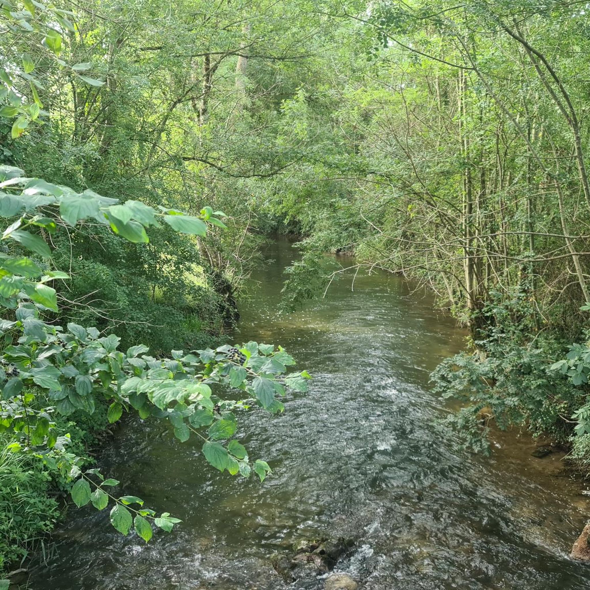
Road cycling routes around Fontclaireau traverse a gentle landscape characterized by the Charente River and rolling countryside. The terrain in this part of Nouvelle-Aquitaine, France, generally ranges from 56 to 124 meters in elevation, making it accessible for various cycling abilities. Routes often utilize a mix of shared lanes and greenways, providing a scenic journey through fields and wooded areas. The region's geography supports diverse cycling experiences, from leisurely rides along riverbanks to routes passing historical landmarks.
Best road cycling…
Last updated: July 1, 2026
1
riders
139km
06:10
1,030m
1,030m
Hard road ride. Very good fitness required. Mostly well-paved surfaces and easy to ride.
6
riders
38.3km
01:39
310m
310m
Moderate road ride. Good fitness required. Mostly well-paved surfaces and easy to ride.

Sign up for free
3
riders
Moderate road ride. Good fitness required. Mostly well-paved surfaces and easy to ride.
5
riders
16.2km
00:44
120m
120m
Easy road ride. Great for any fitness level. Mostly well-paved surfaces and easy to ride.
3
riders
Moderate road ride. Good fitness required. Mostly well-paved surfaces and easy to ride.
Get access to more routes and recommendations from other explorers.
Sign up for free
Already have an account?
Our route recommendations are based on thousands of hikes, rides, and runs completed by other people on komoot.
Start today with a free account
Your next adventure awaits.
Login or Signup



Tips from the Community


The building is a former chapel of the Commandery of the Order of St. John of Jerusalem. You can enjoy the shaded park behind it after filling your water bottles at the municipal water point, as the town hall and the church share the square.
0
0
Pleasant break on the Charente, don't leave before having had an ice cream at the tavern.
0
0

The castle was built in the second half of the 16th century, but certain elements date from the 17th. Thus, the portal and the watchtower at the entrance both date from the 17th century.
0
0
The town of Tusson is rich in a unique historical heritage. The four tumulus of Tusson date from the fifth century BC and have the particularity of being aligned. These prehistoric monuments made up of one or more blocks of stone and earth were then raised above certain graves. Those of Tusson are among the largest in Europe. The priory and its monastic garden are also worth a look and take you back in time. In addition, gourmets can sit at one of the restaurants or tea rooms in the town to enhance their break.
1
0

Very pretty site along the Charente and on the Flow Vélo route
0
0

Verteuil Castle is a historic monument in Verteuil-sur-Charente. It dates back to 1080. It was here that François VI de la Rochefoucauld (French writer) wrote his Maxims.
1
0
Frequently Asked Questions
How many road cycling routes are available around Fontclaireau?
There are over 100 road cycling routes around Fontclaireau, offering a wide range of options for different skill levels and preferences. The region is well-equipped with approximately 450 km of marked cycle routes across the Charente department.
What is the terrain like for road cycling in Fontclaireau?
The terrain around Fontclaireau is generally gentle, characterized by rolling countryside and the picturesque Charente River. Altitudes typically range from 56 to 124 meters, making it accessible for various cycling abilities. Routes often utilize a mix of shared lanes and greenways, providing a scenic journey through fields and wooded areas.
Are there easy road cycling routes suitable for beginners or families?
Yes, Fontclaireau offers a good selection of easy road cycling routes. There are 18 routes specifically graded as easy, perfect for beginners or family outings. An example is the Bayers Castle loop from Fontclaireau, which is 16.6 km long and leads through the local countryside.
What kind of landmarks can I see along the road cycling routes?
Road cycling routes around Fontclaireau often pass by historical and natural landmarks. You can encounter sites like the impressive Saint-Amant-de-Boixe Abbey, the historic Château de Verteuil, and various Romanesque churches in nearby villages. The region also features charming old mills, wash houses, and the tranquil banks of the Charente River.
What do other cyclists say about road cycling in Fontclaireau?
The road cycling routes in Fontclaireau are highly rated by the komoot community, with an average score of 4.7 stars from 4 reviews. Over 150 road cyclists have used komoot to explore the varied terrain, often praising the scenic countryside, gentle gradients, and the opportunity to discover historical sites.
Are there any challenging road cycling routes for experienced riders?
Yes, for experienced riders seeking a challenge, there are 6 difficult road cycling routes available. One notable option is Between Ruffec and Angoulême in a loop, which spans 139.5 km and features over 1000 meters of elevation gain, offering an extensive exploration of the regional landscape.
Can I find circular road cycling routes starting from Fontclaireau?
Absolutely. Many road cycling routes in the area are designed as loops, allowing you to start and finish in the same location. For example, the Cellettes Castle – Mansle loop from Fontclaireau is a moderate 38.2 km route that offers views of historical castles and the Charente River.
What is the best time of year for road cycling in Fontclaireau?
The gentle climate of Nouvelle-Aquitaine generally makes spring and autumn ideal for road cycling in Fontclaireau, with pleasant temperatures and vibrant scenery. Summer can also be enjoyable, particularly in the mornings or late afternoons, to avoid the warmest parts of the day.
Are there any natural features to look out for while cycling?
The most prominent natural feature is the Charente River, which borders Fontclaireau and provides tranquil waters and picturesque banks. The region is also characterized by verdant, rolling countryside, fields, and wooded areas. The 'Sentier des Fontaines' highlights several historical springs and offers panoramic views over the Charente valley.
Where can I find parking for my car when cycling in Fontclaireau?
While specific parking facilities for cyclists are not detailed, Mansle-les-Fontaines, the larger commune encompassing Fontclaireau, is likely to offer public parking options. Many routes start from or pass through villages where parking is generally available.
Are there any routes that pass by castles or historical sites?
Yes, several routes are designed to showcase the region's rich history. The Cellettes Castle – Mansle loop from Fontclaireau and the Bayers Castle loop from Fontclaireau both offer views of historical castles. You can also explore routes that lead past Romanesque churches and other historical landmarks.
What is the longest road cycling route available in the area?
The longest road cycling route listed is Between Ruffec and Angoulême in a loop, which covers an extensive 139.5 km. This difficult route provides a comprehensive tour of the regional landscape, ideal for long-distance cyclists.
Most popular routes around Fontclaireau
Most popular attractions around Fontclaireau

Get inspired with the komoot mobile app


Explore more
Browse the best Road cycling routes in other regions.
