The best running trails around Saint-Alban-En-Montagne
3.7
(22)
1,855
runners
70
runs
Jogging routes around Saint-Alban-En-Montagne are characterized by elevated mountainous terrain, offering invigorating cool mountain air and expansive views. The region, situated at an average elevation of 1,003 meters, features a landscape of forests and hills, providing varied natural paths for runners. These trails traverse diverse environments, including areas within or near the Parc Naturel Régional des Monts d'Ardèche, known for extensive networks of running routes. The terrain includes both paved and natural surfaces, catering to different preferences and training needs.
…Last updated: October 16, 2026
4.0
(4)
73
runners
13.2km
01:28
140m
140m
Moderate run. Good fitness required. Mostly paved surfaces. Suitable for all skill levels.
4.0
(2)
39
runners
11.0km
01:12
100m
100m
Moderate run. Good fitness required. Mostly paved surfaces. Suitable for all skill levels.

31
runners
45.4km
05:15
1,010m
1,010m
Hard run. Very good fitness required. Mostly paved surfaces. Suitable for all skill levels.
9
runners
18.3km
02:01
300m
300m
Hard run. Very good fitness required. Mostly paved surfaces. Suitable for all skill levels.
10
runners
8.67km
00:56
140m
140m
Moderate run. Good fitness required. Mostly paved surfaces. Suitable for all skill levels.
Get access to more routes and recommendations from other explorers.
Already have an account?
Our route recommendations are based on thousands of hikes, rides, and runs completed by other people on komoot.
Start today with a free account
Your next adventure awaits.

Tips from the Community

Beautiful route to do by bike, running or just walking. Allowing you to enjoy the lake of Naussac (its fauna and flora) in a short tour. Then in a big tour of the lake the Donozau waterfall for a big tour of the lake.
0
0


As you skirt the Naussac reservoir, you will discover the Cascade du Donozau. This waterfall, which cascades down a small rock face, creates a picturesque scene ideal for a peaceful picnic. The surrounding area offers a variety of hiking trails that will allow you to explore the diverse landscapes of the region.
1
0

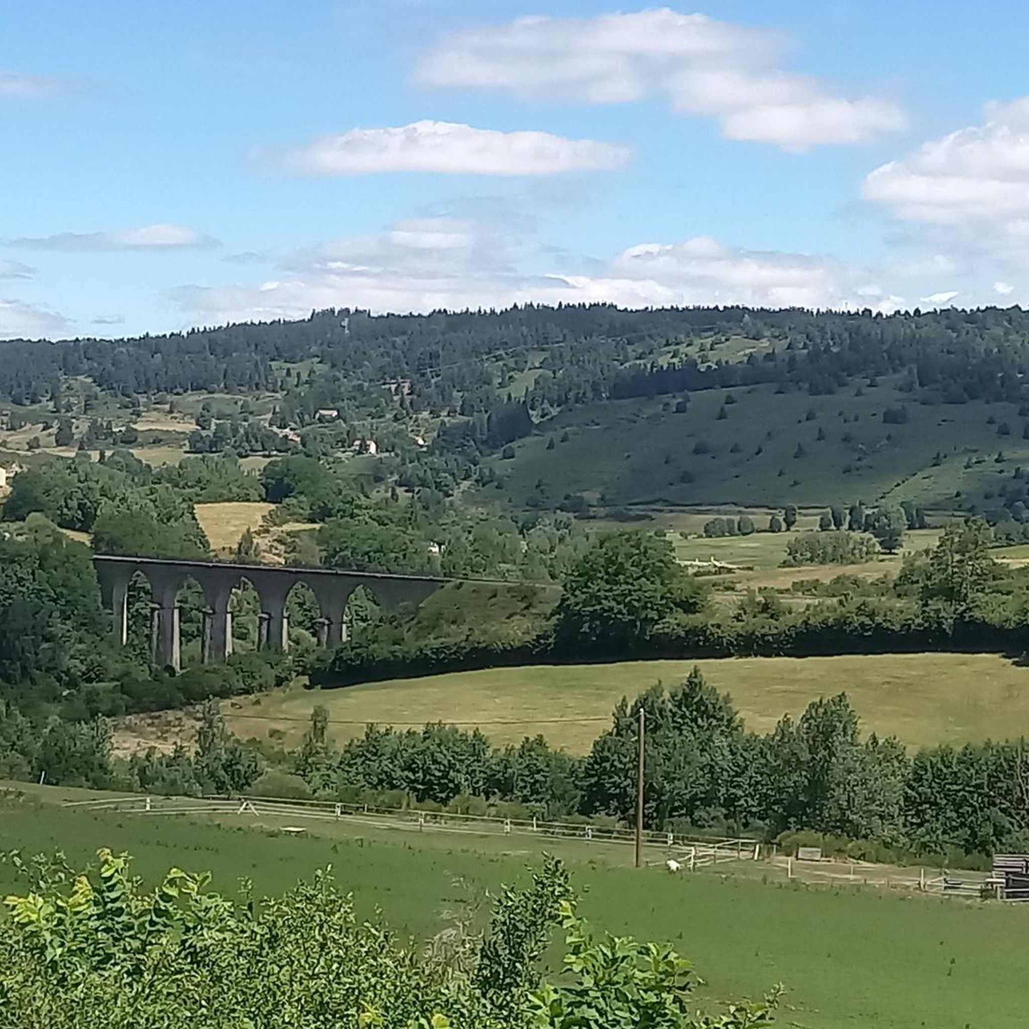
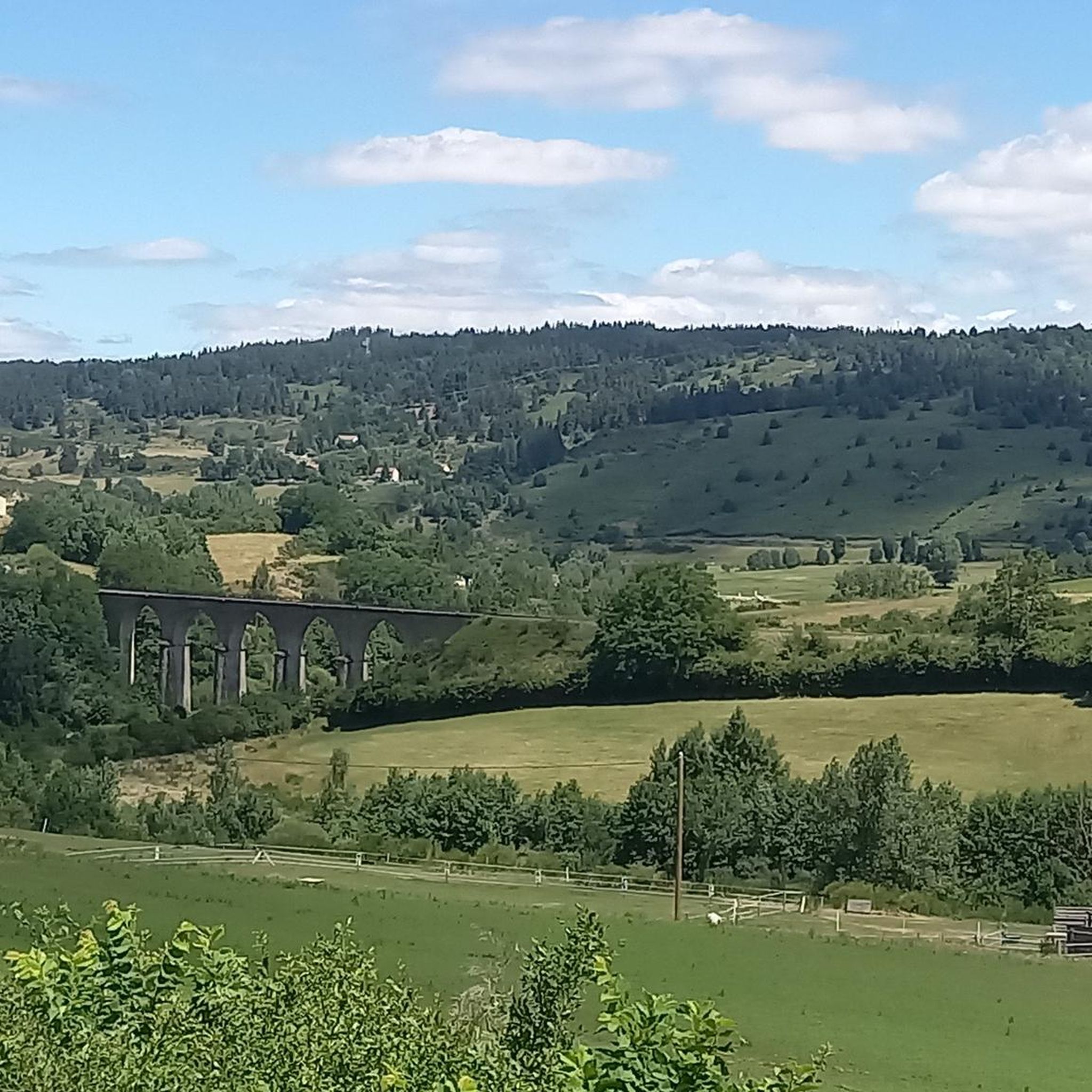
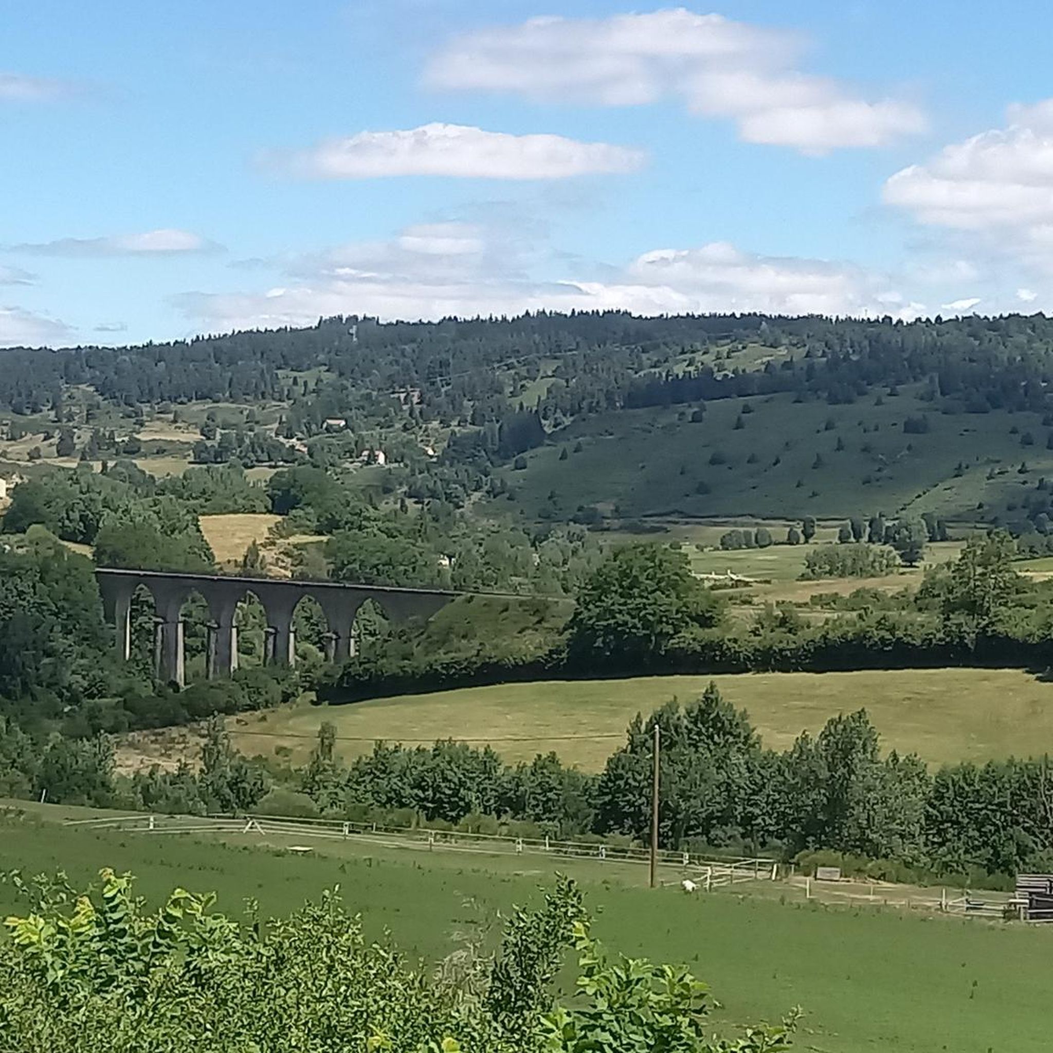
Railway bridge over the Allier
0
0
Passage by a path between the station and the lake of Naussac
0
0

This charming rural town located in the heart of Margeride offers an ideal setting for cycling. Its cafes and restaurants allow you to stop there in the middle or end of your outing.
1
0

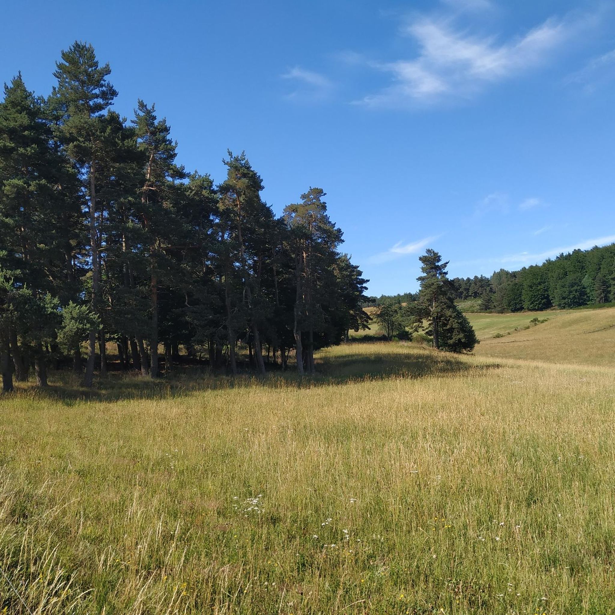
The setting here is enchanting with beautiful round hills punctuated by meadows and forests with, further on, the Langouyrou, a pretty stream.
1
0

Sitting at 920 metres (3,018 ft), Langogne is a picturesque rural commune with plentiful food and accommodation options. You can take a break in one of its numerous cafés in the old centre.
0
0
Frequently Asked Questions
How many running routes are available around Saint-Alban-En-Montagne?
There are over 60 dedicated running routes around Saint-Alban-En-Montagne. These trails cater to various fitness levels, with options ranging from easy paths to more challenging mountain runs.
What kind of terrain can I expect on jogging routes in Saint-Alban-En-Montagne?
The jogging routes in Saint-Alban-En-Montagne feature elevated mountainous terrain, offering invigorating cool mountain air and expansive views. You'll find a mix of forests and hills, with varied natural paths and some paved sections, providing diverse environments for your run.
Are there any running routes with waterfalls or lakes in the area?
Yes, several running routes feature beautiful natural water elements. For example, the difficult Lake Naussac – Donozau Waterfall loop from Langogne offers both a scenic lake and a waterfall. Another popular moderate option is the Donozau waterfall loop from Langogne, which provides views of the Donozau waterfall.
What is the general difficulty level of running trails in Saint-Alban-En-Montagne?
The running trails around Saint-Alban-En-Montagne offer a good mix of difficulty levels. Out of over 60 routes, you'll find 5 easy trails, 34 moderate options, and 22 difficult routes, ensuring there's something for every runner, from beginners to experienced trail enthusiasts.
What do other runners say about the trails in Saint-Alban-En-Montagne?
The running routes in Saint-Alban-En-Montagne are highly regarded by the komoot community, with an average rating of 3.4 out of 5 stars. Over 1200 runners have explored the varied terrain, often praising the scenic views and the diverse natural landscapes.
Are there any long-distance running options for experienced athletes?
Yes, for experienced athletes seeking a challenge, there are longer routes available. The difficult Auradoux Pond – Lake Auradoux loop from Langogne - Lespéron Airport is a substantial 45.6 km (28.3 miles) trail with significant elevation changes, perfect for a demanding long-distance run.
Can I find circular running routes in Saint-Alban-En-Montagne?
Many of the running routes in the region are designed as circular loops, allowing you to start and finish at the same point. Examples include the Lake Naussac – Lake Naussac loop from Langogne, which circles the beautiful Lake Naussac.
What are some notable landmarks or attractions I might see while running?
While running, you might encounter various points of interest. The wider region offers historical sites like Luc Castle or the Besset Gate. Natural features like Lake Naussac and the Donozau Waterfall are also prominent along several routes.
Is Saint-Alban-En-Montagne suitable for trail running?
Absolutely. With its elevated mountainous terrain, forests, and hilly paths, Saint-Alban-En-Montagne is an excellent destination for trail running. The region's proximity to the Parc Naturel Régional des Monts d'Ardèche and Cévennes National Park means access to extensive networks of natural trails.
Are there any running routes that offer panoramic views?
Given the high elevation of Saint-Alban-En-Montagne (averaging 1,003 meters), many routes naturally offer expansive panoramic views. The surrounding Ardèche mountains, including areas near the Tanargue massif, are known for magnificent vistas over the lower Ardèche, the Alps, and the Ardèche plateau, enhancing your running experience.
What is the typical duration for a running route in this area?
Running route durations vary significantly based on distance and difficulty. For instance, a moderate route like the Lake Naussac – Lake Naussac loop from Langogne, which is 11.0 km (6.8 miles), typically takes about 1 hour and 12 minutes. Longer, more difficult routes can take several hours.
Most popular routes around Saint-Alban-En-Montagne
Most popular attractions around Saint-Alban-En-Montagne

Get inspired with the komoot mobile app


Explore more
Browse the best Running Trails & Routes in other regions.
