The best walks and hikes around Tiviers
4.3
(65)
319
hikers
42
hikes
Hiking around Tiviers offers diverse terrain in the Périgord Vert region, characterized by its hilly and green landscapes. The area serves as a southern gateway to the Périgord-Limousin Regional Natural Park, featuring rivers such as the Côle and the Isle. This geographical position creates a natural transition zone between Limousin and Aquitaine, providing varied flora and geological formations. Hikers can expect to encounter a variety of terrain, from easily accessible paths to routes requiring good fitness, including both paved and…
Last updated: June 30, 2026
4.7
(3)
22
hikers
8.33km
02:21
170m
170m
Moderate hike. Good fitness required. Easily-accessible paths. Suitable for all skill levels.
13
hikers
3.18km
00:51
30m
30m
Easy hike. Great for any fitness level. Easily-accessible paths. Suitable for all skill levels.

Sign up for free
5.0
(4)
8
hikers
12.7km
03:44
350m
350m
Moderate hike. Good fitness required. Easily-accessible paths. Suitable for all skill levels.
12
hikers
Easy hike. Great for any fitness level. Easily-accessible paths. Suitable for all skill levels.
4.5
(2)
5
hikers
13.7km
03:41
170m
170m
Moderate hike. Good fitness required. Easily-accessible paths. Suitable for all skill levels.
Get access to more routes and recommendations from other explorers.
Sign up for free
Already have an account?
Our route recommendations are based on thousands of hikes, rides, and runs completed by other people on komoot.
Start today with a free account
Your next adventure awaits.
Login or Signup

Tips from the Community

The old cathedral of Saint Flour.
0
0


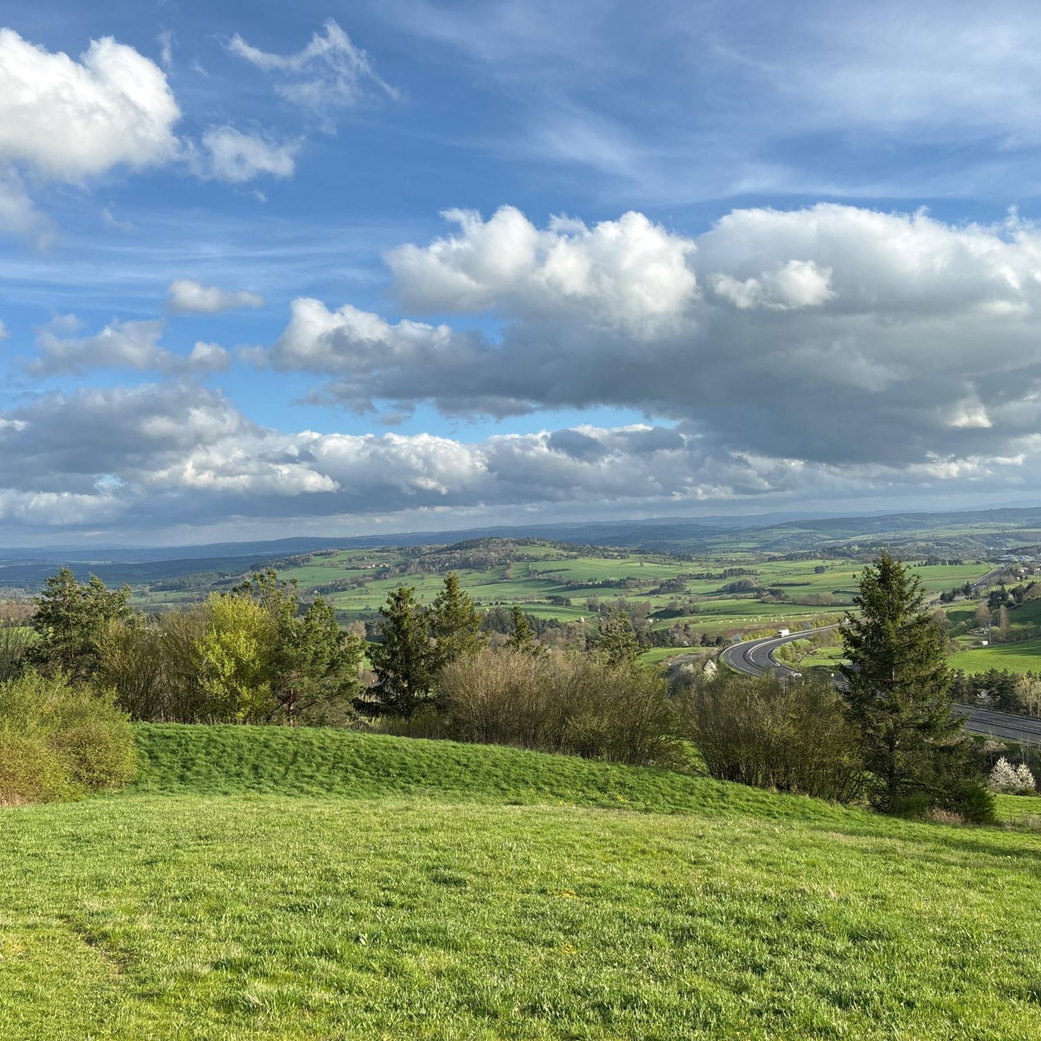
Panoramic view of Cantal and the lower town.
0
0

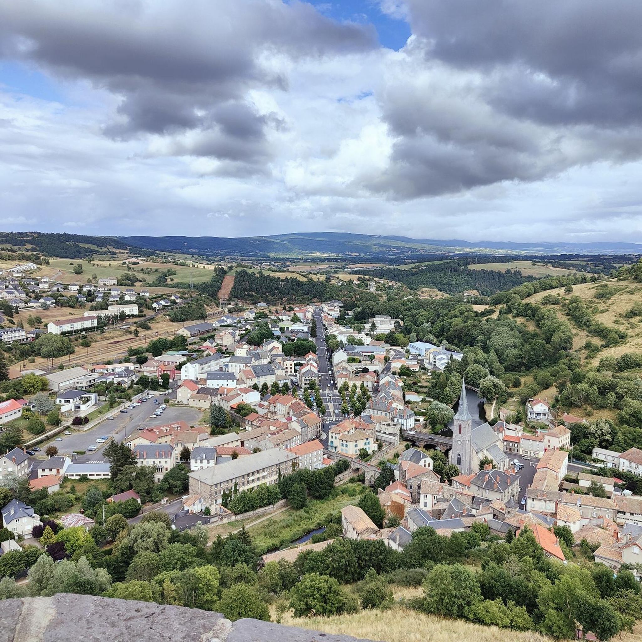
The name of Saint-Flour comes from Florus, a bishop who came to evangelize the region in the 4th century. The city, located on a volcanic promontory, is doubly protected by ramparts and fortified gates. In the 14th century, the city, due to its importance within the Cantal region, received the prestigious title of religious capital of Haute-Auvergne. The numerous buildings from this period are an integral part of the city and contribute to its beauty.
1
0

Country of Art and History, Saint-Flour is a medieval city perched on a volcanic promontory.
0
0

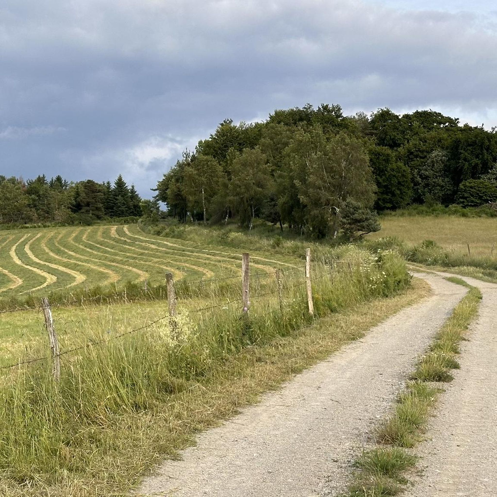
Along the Ander, you cycle out of the town of Saint-Flour on a beautiful riverside cycle path.
0
0
Frequently Asked Questions
How many hiking trails are available around Thiviers?
There are over 40 hiking trails around Thiviers, offering a variety of options for different skill levels. About half of these, 24 routes, are considered easy.
What kind of landscape can I expect when hiking around Thiviers?
Thiviers is situated in the Périgord Vert region, characterized by its hilly and verdant countryside. You'll find a mix of extensive forest trails, green valleys, and a unique geographical identity as a transition zone between the Limousin and Aquitaine regions. The area is also a southern gateway to the Périgord-Limousin Regional Natural Park.
What do other hikers say about the trails in Thiviers?
The hiking routes in Thiviers are highly rated by the komoot community, with an average score of 4.4 stars from nearly 50 reviews. Hikers often praise the varied terrain and the natural beauty of the area.
Are there any historical or cultural routes to explore in Thiviers?
Yes, Thiviers is a significant stopping point on the Via Lemovicensis, also known as the "Voie de Vézelay," one of France's main pilgrimage routes to Santiago de Compostela. Additionally, you can explore the area through "Terra Aventura," a geocaching route that offers an interactive way to discover local history.
Can I find any waterfalls or natural landmarks on hikes near Thiviers?
Yes, the Babory Waterfall is a notable natural attraction in the vicinity. For those interested in ancient geological formations, the Prehistoric Cave of Villars is also within reach.
Are there any notable villages or attractions to visit near the hiking trails?
Absolutely. The nearby village of Saint-Jean-de-Côle is recognized as "One of the most beautiful villages in France" and makes for an attractive cultural stop. Other nearby attractions include Sailhant Castle and the town of Saint-Flour.
Is there a greenway or accessible path for easier walks?
Yes, a 16 km greenway (Voie Verte) connects Saint Pardoux la Rivière to Thiviers. This path follows a former railway track and is suitable for various forms of hiking, including walking, and offers an accessible way to experience the local scenery.
Are the hiking trails around Thiviers suitable for families or beginners?
Many trails around Thiviers are suitable for families and beginners. With 24 easy routes available, there are plenty of options for gentle walks. For example, the Les Bois du Pirou loop from Le Pirou is an easy 3.2 km trail through woodlands.
Are there dog-friendly hiking options in Thiviers?
While specific restrictions vary by trail, many of the natural forest trails and the greenway around Thiviers are generally welcoming to dogs, provided they are kept under control. It's always recommended to check local signage for any specific regulations.
Are there circular hiking routes available in Thiviers?
Yes, there are several circular routes. Examples include the Panoramic view of the Cantal – Saint-Flour Cathedral loop from Saint-Flour and the Panoramic view of the Cantal – Saint-Flour loop from Saint-Flour, both offering scenic views.
What is the best time of year to go hiking in Thiviers?
The Périgord Vert region generally offers pleasant hiking conditions from spring through autumn. Spring brings blooming flora, while autumn showcases beautiful fall foliage. Summer can be warm, so early morning or late afternoon hikes are often preferred.
Where can I find parking for hiking trails in Thiviers?
Parking is generally available in and around Thiviers, particularly near the town center and trailheads. For specific routes like the greenway, there are designated parking areas in towns such as Saint Pardoux la Rivière and Thiviers itself.
Are there places to eat or stay near the hiking trails in Thiviers?
Thiviers, as a town, offers various amenities including cafes, pubs, and accommodation options. Many of these are conveniently located for hikers, especially those exploring routes that pass through or start from the town center or nearby villages like Saint-Jean-de-Côle.
What are some good viewpoints to discover while hiking in Thiviers?
Given Thiviers' location on a "puy" (volcanic hill) 276 meters above sea level, many trails offer picturesque views over the surrounding hilly and verdant countryside. Routes like the "Panoramic view of the Cantal" loops provide excellent opportunities for scenic vistas.
Most popular attractions around Tiviers

Get inspired with the komoot mobile app


Explore more
Browse the best Hikes in other regions.
