The best road cycling routes around Saint-Sauveur
4.2
(267)
6,336
riders
571
rides
Road cycling around Saint-Sauveur is set within Quebec's Laurentian Mountains, offering diverse terrain for cyclists. The region features rolling mountains, serene lakes, and extensive forest areas, providing varied gradients and scenic backdrops. Cyclists can find routes that wind through valleys and past natural water features, with many paths offering shaded sections. The landscape includes dense forests and scenic valleys, with views of the Rivière du Nord enhancing the natural experience.
Best road cycling routes around Saint-Sauveur
- The most popular road…
Last updated: July 10, 2026
5.0
(2)
101
riders
Moderate road ride. Good fitness required. Some segments of this route may be unpaved and difficult to ride.
4.3
(8)
100
riders
40.4km
01:43
240m
240m
Moderate road ride. Great for any fitness level. Some segments of this route may be unpaved and difficult to ride.

Sign up for free
4.0
(1)
22
riders
22.2km
00:53
100m
100m
Easy road ride. Great for any fitness level. Mostly well-paved surfaces and easy to ride.
12
riders
Easy road ride. Great for any fitness level. Mostly well-paved surfaces and easy to ride.
8
riders
36.8km
01:33
190m
200m
Easy road ride. Great for any fitness level. Mostly well-paved surfaces and easy to ride.
Get access to more routes and recommendations from other explorers.
Sign up for free
Already have an account?
Our route recommendations are based on thousands of hikes, rides, and runs completed by other people on komoot.
Start today with a free account
Your next adventure awaits.
Login or Signup
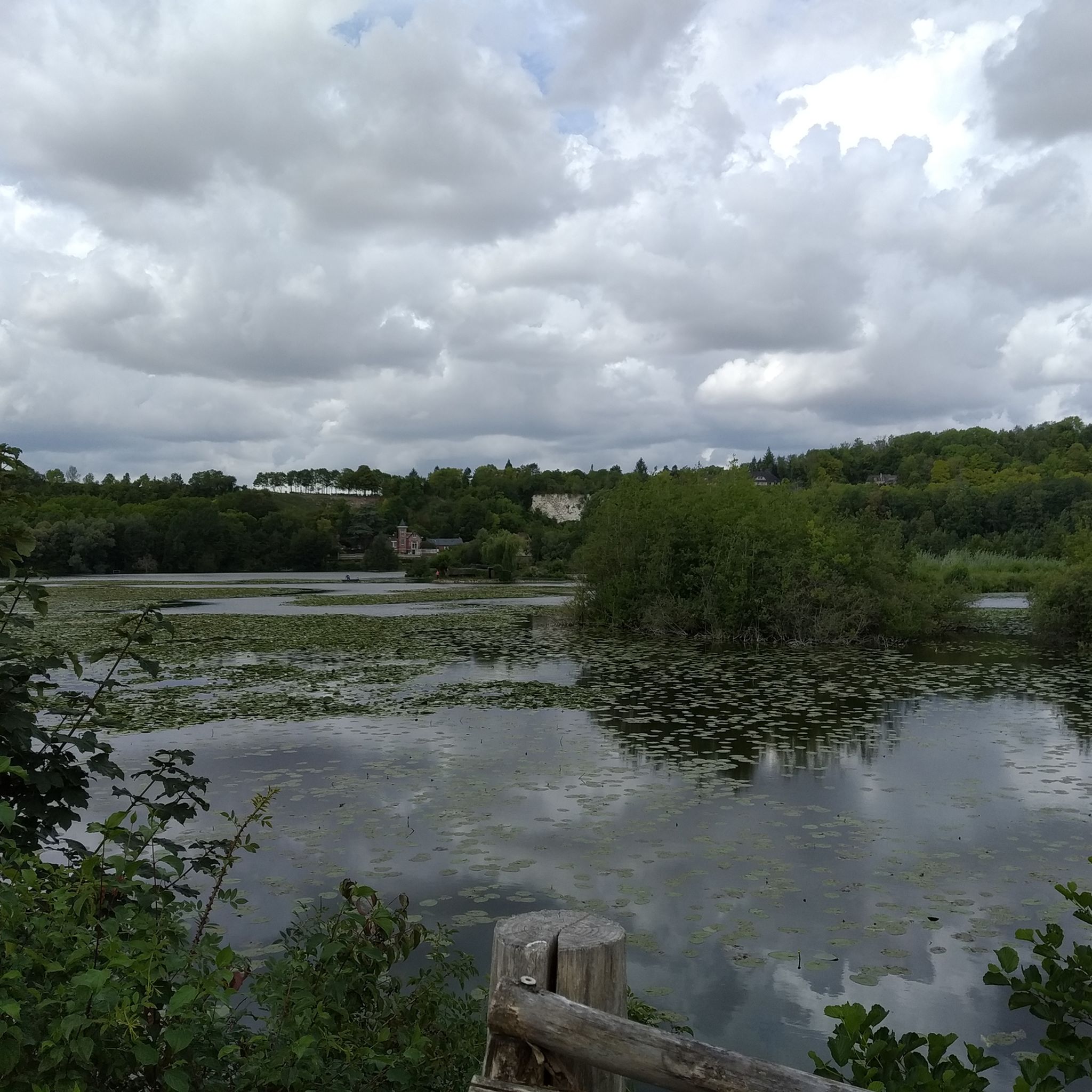

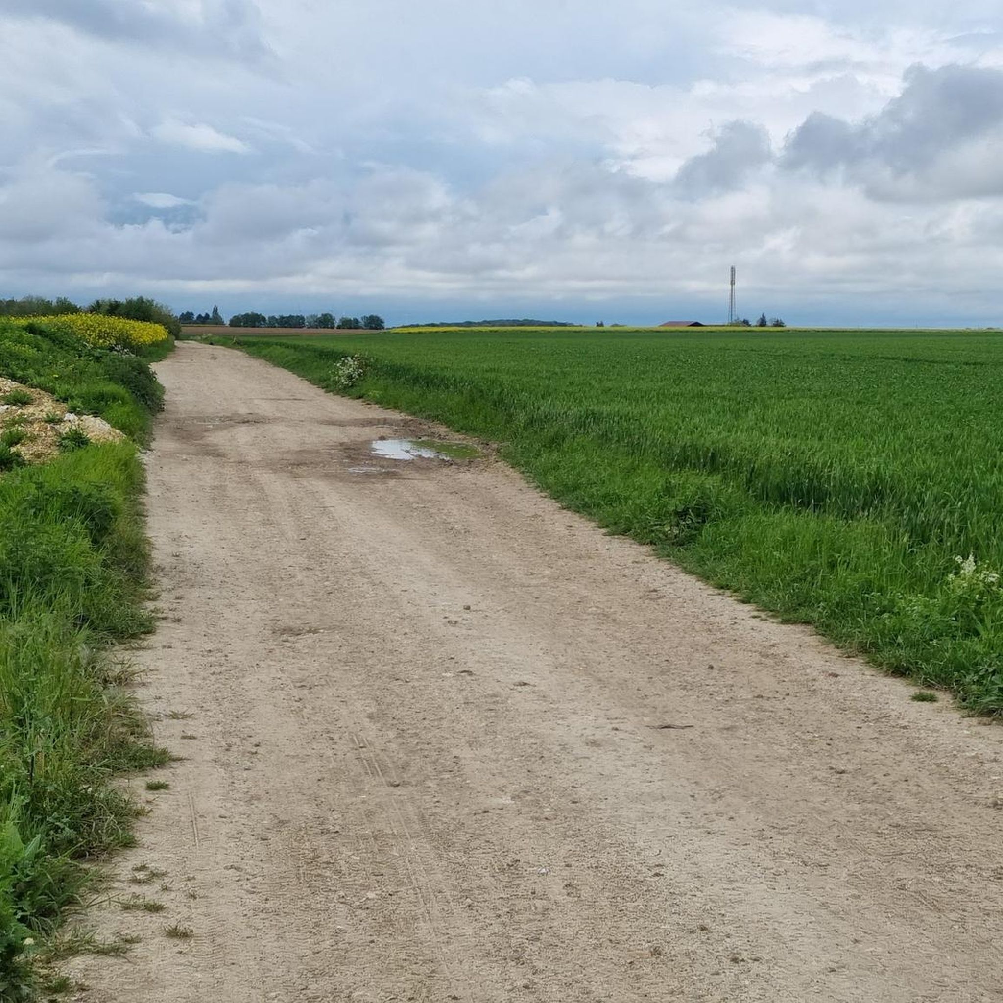


Tips from the Community

Very worthwhile canal, recommended!
0
0
in Scandinavia it would be called a fjord
0
0


Steam train from St Valéry, allows you to return to Noyelles station to take a TER
0
0

Charming village, pleasant and peaceful, beautiful medieval town
1
0

Ideal for a break, filling water bottles, etc.
0
0
More or less smooth paths to explore.
0
0
Frequently Asked Questions
What is the terrain like for road cycling in Saint-Sauveur?
Road cycling in Saint-Sauveur, nestled in Quebec's Laurentian Mountains, offers diverse terrain. You'll find routes with rolling mountains providing varied gradients, serene lakes, and extensive forest areas. Many paths wind through valleys and past natural water features, often with shaded sections, making for picturesque rides.
Are there road cycling routes for all skill levels in Saint-Sauveur?
Yes, Saint-Sauveur caters to all fitness levels. The region features routes ranging from easy to difficult. For instance, the Château de Pissy – Château de Picquigny loop from Ailly-sur-Somme is an easy 18.5-mile path, while the Picnic Area by the Canal – Natural area (ponds 7 kms) loop from Ailly-sur-Somme is a moderate 16.1-mile route. There are 92 easy, 444 moderate, and 74 difficult routes available.
What scenic features can I expect on road cycling routes in Saint-Sauveur?
The routes in Saint-Sauveur are known for their scenic beauty, characterized by the Laurentian Mountains. Cyclists can enjoy views of rolling mountains, tranquil lakes, and dense forest areas, which are particularly vibrant in the fall. Many paths wind through picturesque valleys and alongside natural water features.
Are there any notable landmarks or attractions along the road cycling routes?
While cycling, you might encounter various points of interest. For example, the region is close to landmarks like the impressive Notre-Dame d'Amiens Cathedral, the historic Ailly-sur-Somme Lockhouse, and the unique floating gardens of The Hortillonnages. You can also explore the Saint-Pierre Park.
What is the best time of year for road biking in Saint-Sauveur?
The best time for road biking in Saint-Sauveur is generally during the warmer months, from spring through fall. The region's extensive forest areas offer vibrant foliage, especially striking in the fall. While the area is known for winter sports, road cycling is most enjoyable when the trails are clear of snow and ice.
Are there family-friendly road cycling routes in Saint-Sauveur?
Yes, Saint-Sauveur offers family-friendly road cycling options. The P'tit Train du Nord Linear Park, a 232 km long former railway bed, provides a largely flat and scenic route suitable for families. Many easy routes are available, such as the Roadbike loop from Ailly-sur-Somme, which is 23.7 miles with moderate elevation gain.
What do other road cyclists enjoy the most about road cycling in Saint-Sauveur?
The road cycling routes in Saint-Sauveur are highly rated by the komoot community, with an average score of 4.3 stars from over 200 reviews. Riders often praise the diverse terrain, from gentle slopes to challenging climbs, and the scenic beauty of the Laurentian Mountains, including serene lakes and extensive forest areas.
Are there any circular road cycling routes in Saint-Sauveur?
Yes, Saint-Sauveur features several circular road cycling routes. Examples include the Picnic Area by the Canal – Natural area (ponds 7 kms) loop from Ailly-sur-Somme and the Château de Pissy – Château de Picquigny loop from Ailly-sur-Somme, both offering varied scenery and a return to your starting point.
Is parking available for cyclists in Saint-Sauveur?
While specific parking locations for cyclists are not detailed in the provided information, Saint-Sauveur is a popular outdoor destination, suggesting that parking facilities are generally available, especially near trailheads and popular attractions like the P'tit Train du Nord. It's advisable to check local municipal or park websites for specific parking information.
Can I access road cycling routes in Saint-Sauveur using public transport?
The region's public transport options for accessing road cycling routes with bikes are not explicitly detailed. However, as a well-known outdoor hub, there may be regional bus services that accommodate bicycles or drop-off points near major trail access points. It's recommended to consult local public transport schedules and policies for bike carriage.
Are there any permits required for road cycling in Saint-Sauveur?
The provided information does not indicate that specific permits are required for general road cycling on public roads or designated cycling paths in Saint-Sauveur. However, if you plan to cycle within specific regional parks or on private land, it's always best to check with the respective park authorities or landowners for any access fees or permit requirements.
How many road cycling routes are available around Saint-Sauveur?
There are over 600 road cycling routes available around Saint-Sauveur, offering a wide variety of options for cyclists. This includes 92 easy routes, 444 moderate routes, and 74 difficult routes, ensuring there's something for every skill level.
Most popular routes around Saint-Sauveur
Most popular attractions around Saint-Sauveur

Get inspired with the komoot mobile app


Explore more
Browse the best Road cycling routes in other regions.
