The best running trails around Bonnay
4.4
(21)
1,761
runners
139
runs
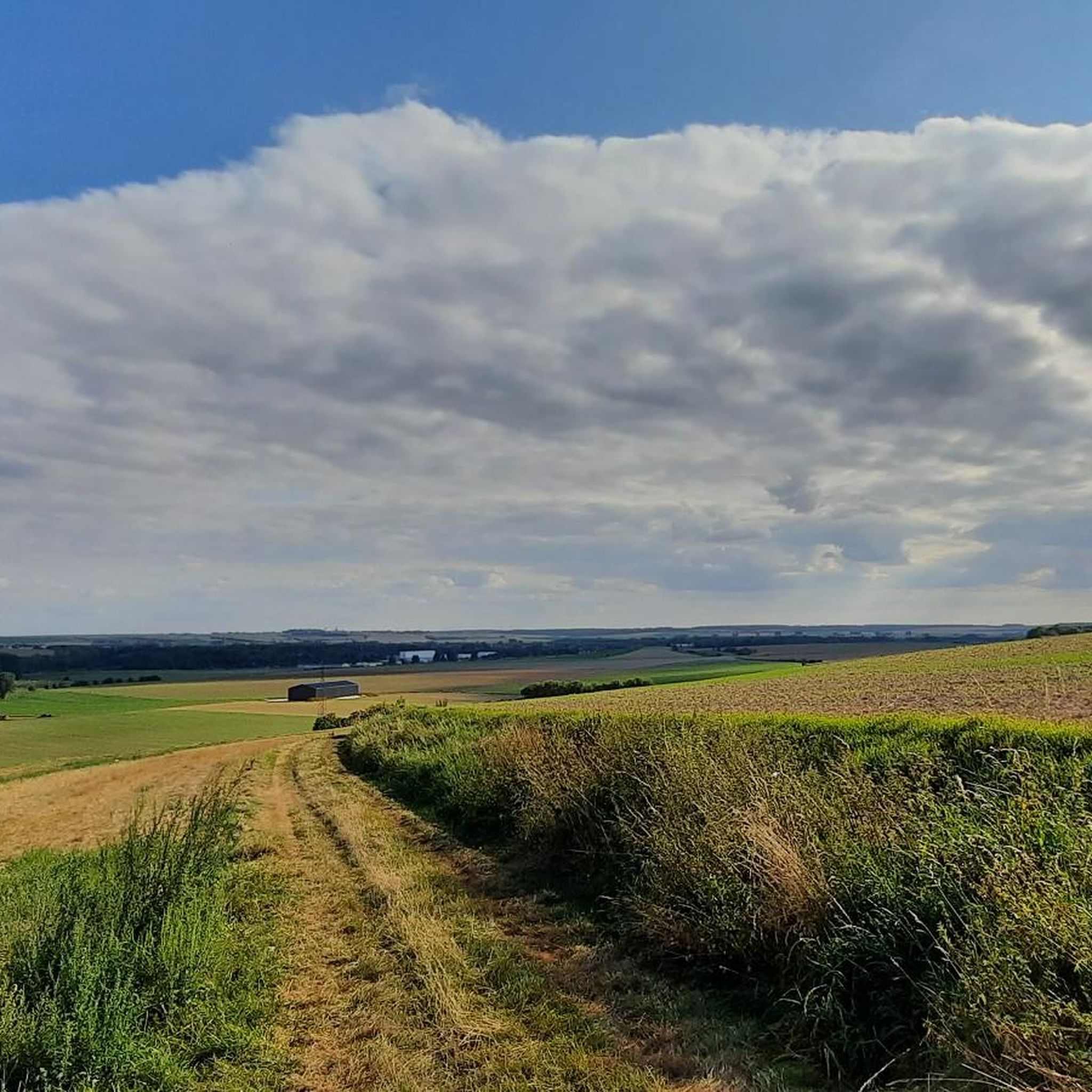
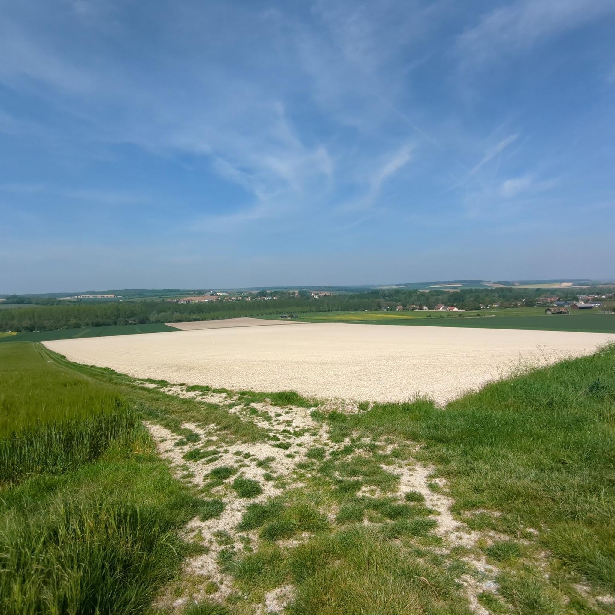
Jogging routes around Bonnay in the Somme department offer a landscape characterized by river towpaths, tranquil étangs (ponds), and open farmland. The terrain is generally flat, with gentle elevation changes, making it suitable for various running paces. Runners can explore routes along the Somme River, through natural reserves, and across expansive meadows. This region provides a serene environment for outdoor activity, blending natural beauty with accessible paths.
Best jogging routes around Bonnay
- The most popular jogging route is Corbie Town…
Last updated: October 16, 2026
78
runners
Moderate run. Good fitness required. Mostly paved surfaces. Suitable for all skill levels.
77
runners
15.3km
01:47
190m
190m
Hard run. Very good fitness required. Mostly paved surfaces. Suitable for all skill levels.

63
runners
16.2km
01:40
30m
30m
Hard run. Very good fitness required. Mostly paved surfaces. Suitable for all skill levels.
23
runners
Moderate run. Good fitness required. Mostly paved surfaces. Suitable for all skill levels.
35
runners
12.2km
01:17
30m
30m
Moderate run. Good fitness required. Mostly paved surfaces. Suitable for all skill levels.
Get access to more routes and recommendations from other explorers.
Already have an account?
Our route recommendations are based on thousands of hikes, rides, and runs completed by other people on komoot.
Start today with a free account
Your next adventure awaits.



Tips from the Community

Towpath on both sides. Feel free to explore.
0
0

This path, formerly used for hauling boats by horses or men, offers a variety of landscapes and historical sites. You can enjoy the fresh air, nature and tranquility of this charming towpath.
3
1

The towpath was historically used as a haulage route for horses and barges navigating the Somme. Today it is mainly used as a hiking and walking trail, offering visitors the opportunity to experience the natural beauty of the Somme Valley. The route between Corbie and Sally le Sec is approximately 15 kilometers. It winds along the river, offering picturesque views of the river landscapes, green meadows and surrounding villages. The path is generally flat and easy to navigate, making it a popular destination for hikers of all abilities. During the walk you can encounter various species of birds, observe local wildlife and enjoy peaceful surroundings. Nature lovers will also appreciate the diverse flora along the path, with flower meadows, riparian trees and aquatic plants. The Corbie Towpath in Salles le Sec offers a great opportunity to relax outdoors, enjoy nature and discover the history and heritage of the region. Whether for a short walk or a long hike, it's a fun place to explore for nature lovers and outdoor enthusiasts.
0
0

This old towpath offers beautiful views and a relaxing calm. There are no more draft horses there as in the past, but only a few cyclists and barges.
5
0

A towpath or towpath, Bomätscherpfad,treppenweg or Reckweg is a path directly on the bank of a river or canal that was created so that people, draft animals or locomotives could pull cargo ships upstream.
5
1

It's not bad for what there is to see without being extraordinary but it is not mountain biking, (VTC) including a lot of cycle path.
0
0

Corbie Somme Towpath
0
0

Very nice bike paths, very quiet, I didn't meet anyone on the tour.
6
0
Frequently Asked Questions
How many running routes are available around Bonnay?
There are nearly 150 running routes around Bonnay, offering a wide variety of options for different preferences and fitness levels. These include routes along river towpaths, through natural reserves, and across open farmland.
What is the typical terrain like for running routes in Bonnay?
The terrain around Bonnay is generally flat with gentle elevation changes, characterized by river towpaths, tranquil étangs (ponds), and expansive open farmland. This makes it suitable for various running paces and offers a serene environment for outdoor activity.
Are there any easy or beginner-friendly running routes in Bonnay?
Yes, Bonnay offers a good selection of easy routes. There are 16 routes specifically categorized as easy, perfect for beginners or those looking for a relaxed run. The overall flat terrain with gentle elevation changes also contributes to many routes being accessible.
Can I find circular running routes in the Bonnay area?
Many of the running routes around Bonnay are designed as loops, offering convenient circular paths. For example, the Corbie Town Hall – Towpath Along the Somme River loop from Corbie is a popular 6.6-mile (10.6 km) circular trail, and the Towpath Along the Somme River – Picnic Tables by the Canal loop from Corbie is another excellent 6.2-mile (10.0 km) option.
Are the running trails around Bonnay suitable for families?
Yes, many of the running routes in Bonnay are suitable for families, especially those that are generally flat and follow river towpaths or paths through open farmland. These routes provide accessible and enjoyable environments for all ages to experience the outdoors together.
Are dogs allowed on the running routes near Bonnay?
Generally, dogs are welcome on many outdoor trails in the region, especially in natural areas and on public paths. However, it's always recommended to keep dogs on a leash and check local signage, particularly in nature reserves or private land, to ensure compliance with specific regulations.
What kind of natural features or landmarks can I see while running in Bonnay?
While running around Bonnay, you can encounter various natural features and landmarks. Highlights include the tranquil Les Étangs de la Barette, the scenic Lamotte-Brebière Locks along the river, and the Path from Corbie to Sailly-le-Sec. You might also pass by historical sites like the Villers-Bretonneux Australian National Memorial or the Faidherbe Column.
Are there options for parking near the running routes in Bonnay?
Yes, many running routes in the Bonnay area, particularly those starting from towns like Corbie, offer convenient parking options. Routes often begin near public spaces or designated parking areas, making it easy to access the trails by car.
What do other runners say about their experience jogging in Bonnay?
The running routes in Bonnay are highly rated by the komoot community, with an average score of 4.5 stars from more than 20 reviews. Over 1500 runners have used komoot to explore the varied terrain, often praising the serene environment, accessible paths, and continuous riverside views.
What is the best time of year to go running in Bonnay?
The best time to go running in Bonnay is generally during spring, summer, and early autumn. These seasons offer pleasant temperatures and lush scenery. The region's natural reserves and open farmland are particularly beautiful when in full bloom or displaying autumn colors. Winter running is also possible, with the generally flat terrain making it manageable, though conditions may vary.
Are there longer running routes for more experienced runners?
Yes, for experienced runners seeking a greater challenge, Bonnay offers several longer and more difficult routes. For instance, the Running loop from Heilly is a 9.5-mile (15.3 km) trail with more significant elevation changes, typically taking about 1 hour 47 minutes to complete. Another challenging option is the Towpath – Étangs de la Barette loop from Corbie, which spans over 10 miles (16.2 km).
Can I find running routes that pass by cafes or places to rest in Bonnay?
While specific cafes directly on every trail might be limited, routes often start or pass near towns and villages like Corbie, where you can find amenities. The Towpath Along the Somme River – Picnic Tables by the Canal loop from Corbie specifically highlights picnic areas, offering pleasant spots for a break.
Most popular attractions around Bonnay

Get inspired with the komoot mobile app


Explore more
Browse the best Running Trails & Routes in other regions.
