The best MTB trails around Germéfontaine
4.5
(70)
203
riders
38
rides
Mountain bike trails around Germéfontaine are situated in the Doubs department of the Bourgogne-Franche-Comté region in eastern France. The area is characterized by wooded hills, valleys, and passes, bordering the Volienne forest and Mont Fallot. This topography, part of the Jura Mountains, provides diverse terrain suitable for mountain biking. The region's landscape includes numerous forests and varied elevations, creating a dynamic environment for outdoor activities.
Best mountain bike trails around Germéfontaine
- The most popular mountain bike trail is Route No.…
Last updated: July 6, 2026
4.6
(7)
25
riders
38.4km
03:22
810m
810m
Moderate mountain bike ride. Good fitness required. Suitable for all skill levels.
4.8
(4)
20
riders
50.9km
04:24
880m
880m
Moderate mountain bike ride. Good fitness required. Suitable for all skill levels.

Sign up for free
4.0
(2)
18
riders
53.0km
04:25
840m
840m
Moderate mountain bike ride. Good fitness required. Suitable for all skill levels.
4.6
(9)
5
riders
28.6km
01:54
320m
320m
Moderate mountain bike ride. Good fitness required. Suitable for all skill levels.
5.0
(2)
4
riders
39.0km
02:51
460m
460m
Moderate mountain bike ride. Good fitness required. Suitable for all skill levels.
Get access to more routes and recommendations from other explorers.
Sign up for free
Already have an account?
Our route recommendations are based on thousands of hikes, rides, and runs completed by other people on komoot.
Start today with a free account
Your next adventure awaits.
Login or Signup

Tips from the Community

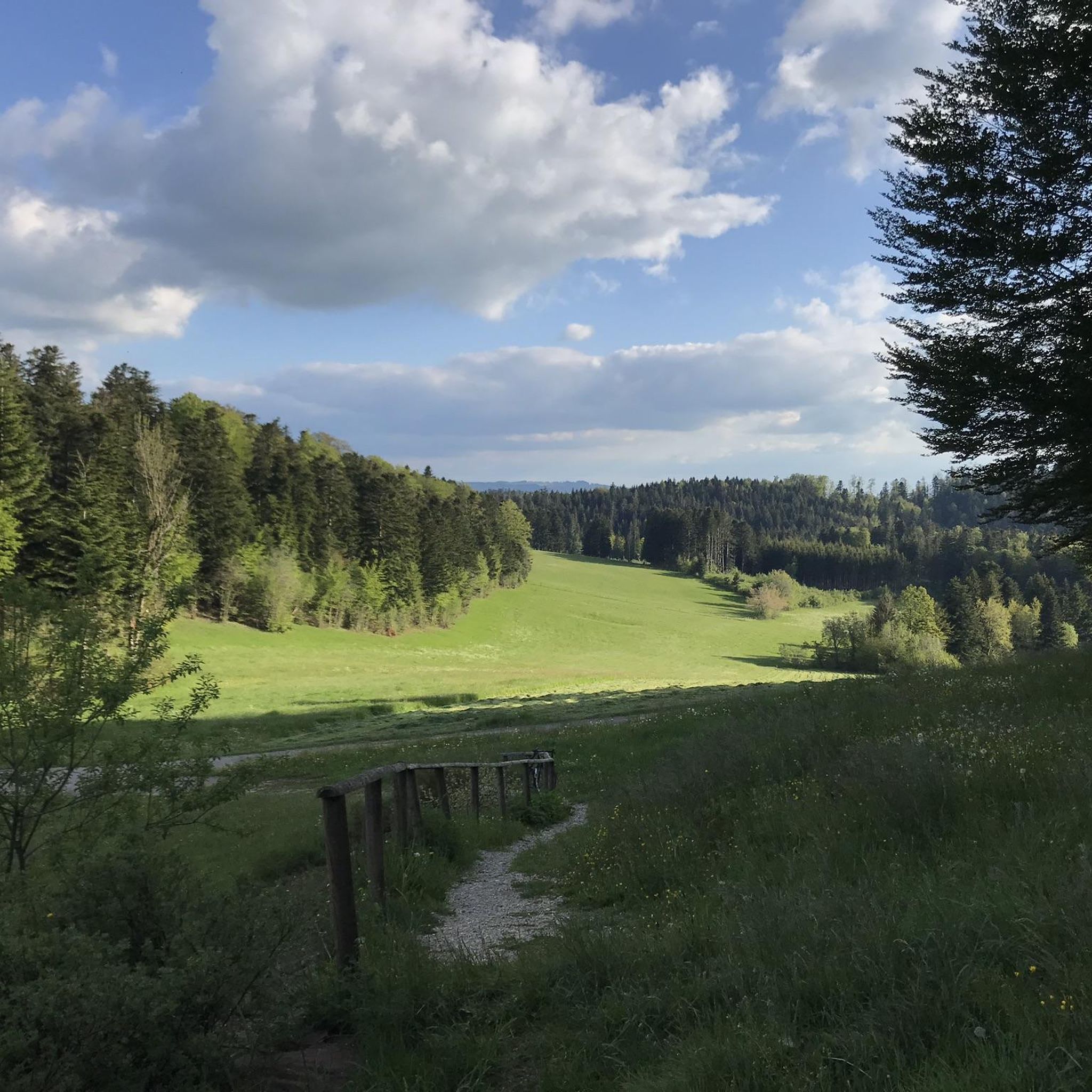
As you hike through the forest, you can admire the trees, take forest baths and occasionally catch a glimpse of the valley.
2
0

This course is referenced on the site of the creators Froggle Organization of Pierrefontaine les varans under the N° 46 and not 45. The 45 exists and is only 30 km located in the South West of Pierrefontaine les varans.
0
0
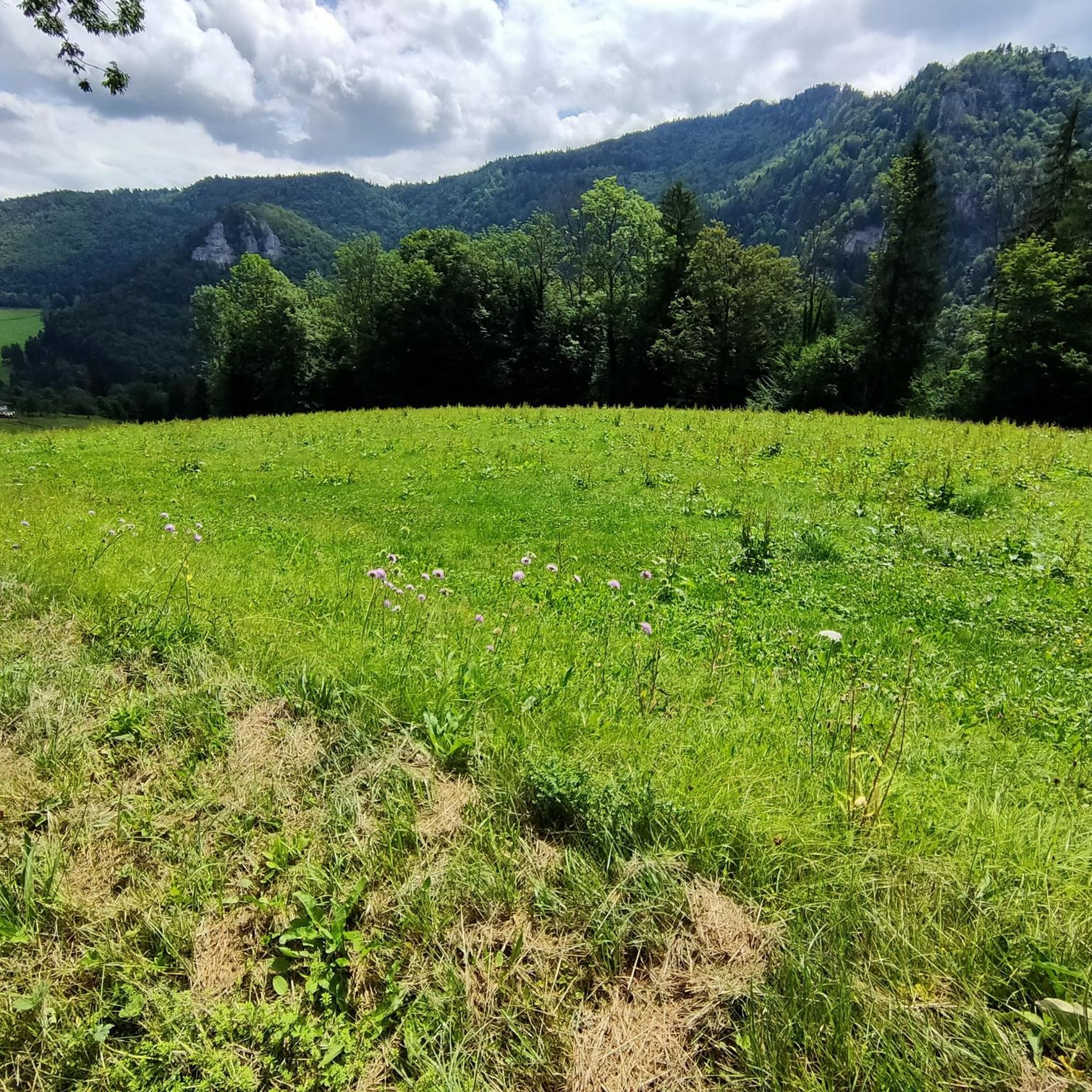
a good climb to get up there, but a panraorama over the valley
0
0

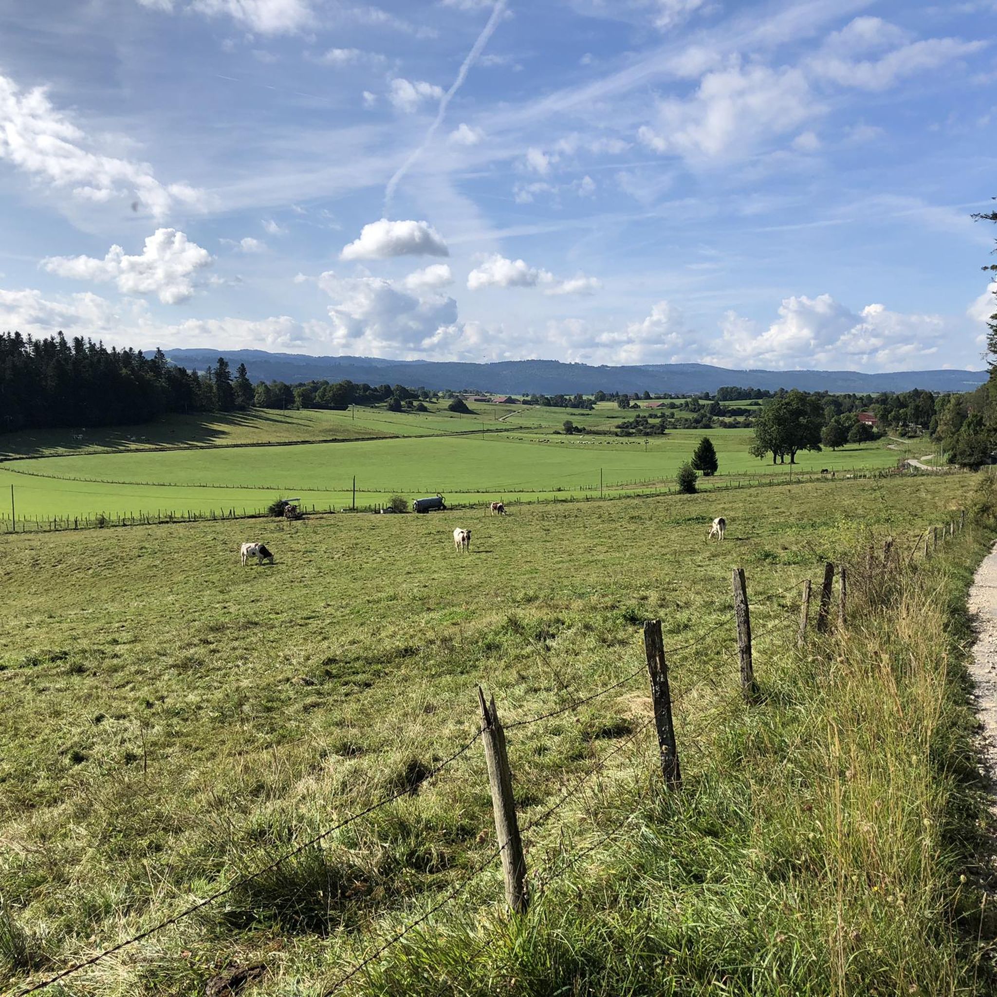
Ruisseau de Dard, beautiful view of the karst landscape and the villages around Sancey-le-Grand. More information: https://de.wikipedia.org/wiki/Sancey-le-Grand
2
0
Frequently Asked Questions
How many mountain bike trails are available around Germéfontaine?
There are over 35 mountain bike trails around Germéfontaine listed on komoot. These routes offer a variety of experiences, from moderate paths to more difficult routes, catering to different skill levels.
What kind of terrain can I expect on mountain bike trails near Germéfontaine?
The mountain bike trails around Germéfontaine are characterized by wooded hills, valleys, and forests. The region is part of the Jura Mountains, offering diverse terrain with elevations ranging from approximately 649 to 821 meters. You'll find a mix of forest trails, country lanes, and winding roads.
Are there mountain bike trails for all skill levels in Germéfontaine?
Yes, the trails around Germéfontaine cater to various skill levels. Out of the 37 available routes, 9 are rated as easy, 24 as moderate, and 4 as difficult. This ensures options for beginners, experienced riders, and those looking for a challenge.
Can you recommend a challenging mountain bike trail near Germéfontaine?
For a challenging ride, consider Route No. 45 – Thanks Dédé loop from Pierrefontaine-les-Varans. This difficult 45.0 km (27.9 miles) trail features significant elevation gain and takes approximately 4 hours 11 minutes to complete through varied terrain.
Are there easier mountain bike options suitable for families or beginners?
Yes, there are 9 easy mountain bike trails around Germéfontaine. While specific family-friendly routes are not detailed, the presence of easy trails suggests suitable options for those new to mountain biking or riding with children. These routes typically have less elevation gain and smoother surfaces.
What natural features or landmarks can I see while mountain biking near Germéfontaine?
While mountain biking, you can explore various natural features and landmarks. The region is known for its wooded hills, the Volienne forest, and Mont Fallot. You might also encounter natural springs, such as the Cusancin spring, or enjoy panoramic views from spots like the Roche Barchey viewpoint. The broader Jura Mountains also feature geological phenomena like caves and waterfalls.
What are the typical elevation changes on mountain bike trails around Germéfontaine?
Elevation changes vary significantly depending on the trail's difficulty. For instance, a moderate route like Route No. 45 – Reverotte Spring loop from Pierrefontaine-les-Varans involves around 870 meters of ascent, while the difficult Route No. 45 – Thanks Dédé loop has over 1090 meters of elevation gain. Even shorter moderate routes, like Meadows – Belvédère de la Côte loop from Flangebouche, can include around 360 meters of climbing.
What do other mountain bikers enjoy most about mountain biking in Germéfontaine?
The area is highly rated by the komoot community, with an average score of 4.6 stars from over 40 reviews. Mountain bikers often praise the varied terrain, the quiet wooded areas, and the scenic views offered by the trails. The network provides diverse options for different ability levels, making it appealing to many.
Is parking available near the mountain bike trailheads in Germéfontaine?
While specific parking information for Germéfontaine trailheads is not detailed, many routes in the region, particularly those starting from villages like Pierrefontaine-les-Varans or Flangebouche, typically have designated parking areas or roadside parking available. It's advisable to check the starting point of your chosen route for specific parking instructions.
Can I access mountain bike trails around Germéfontaine using public transport?
Germéfontaine is a small commune, and direct public transport access to specific trailheads might be limited. The region is generally better explored by car for flexibility. For detailed public transport options, it's recommended to check local bus schedules or regional transport services for connections to nearby larger towns, which may then require further travel to reach trail starting points.
What is the best time of year for mountain biking in Germéfontaine?
The region experiences a 'mountain or mountain fringe climate' with rigorous winters. Therefore, the best time for mountain biking in Germéfontaine is typically from spring through autumn, when the weather is milder and trails are clear of snow and ice. Moderate sunshine and less rainfall make these seasons ideal for exploring the wooded hills and valleys.
Are there any circular mountain bike routes available?
Yes, many of the mountain bike trails around Germéfontaine are designed as loops. Examples include Route No. 45 – Thanks Dédé loop from Pierrefontaine-les-Varans, Route No. 45 – Reverotte Spring loop from Pierrefontaine-les-Varans, and Gravel Path – Dard Viewpoint loop from Pierrefontaine-les-Varans, all offering a return to the starting point.
Are there options for longer mountain bike tours in the Germéfontaine area?
Yes, the region offers several longer mountain bike tours. For example, Route No. 45 – Reverotte Spring loop from Pierrefontaine-les-Varans is a moderate 50.7 km (31.5 miles) path, and Gravel Path – Dard Viewpoint loop from Pierrefontaine-les-Varans covers 50.9 km (31.6 miles). These longer routes allow for extended exploration of the diverse landscapes.
Most popular attractions around Germéfontaine

Get inspired with the komoot mobile app


Explore more
Browse the best MTB trails in other regions.
