The best running trails around Villiers-Saint-Georges
4.9
(25)
564
runners
16
runs
Jogging routes around Villiers-Saint-Georges offer a blend of rural landscapes and natural features in the Seine-et-Marne department of north-central France. The commune is characterized by its gently undulating terrain, with elevations ranging from 140 to 191 meters (459 to 627 feet). The Aubetin river flows westward through the northern part of the area, providing waterside views, while the historical connection to the vast Augers forest suggests a landscape with wooded elements. This setting provides varied terrain suitable for running.
Best…
Last updated: May 13, 2026
5.0
(1)
21
runners
7.70km
00:48
50m
50m
Moderate run. Good fitness required. Mostly paved surfaces. Suitable for all skill levels.
5.0
(1)
16
runners
7.21km
00:46
50m
50m
Moderate run. Good fitness required. Mostly paved surfaces. Suitable for all skill levels.

Sign up for free
19
runners
9.78km
01:09
250m
250m
Moderate run. Good fitness required. Mostly paved surfaces. Suitable for all skill levels.
19
runners
8.71km
00:55
40m
40m
Moderate run. Good fitness required. Mostly paved surfaces. Suitable for all skill levels.
9
runners
4.35km
00:28
60m
60m
Easy run. Great for any fitness level. Mostly paved surfaces. Suitable for all skill levels.
Get access to more routes and recommendations from other explorers.
Sign up for free
Already have an account?
Our route recommendations are based on thousands of hikes, rides, and runs completed by other people on komoot.
Start today with a free account
Your next adventure awaits.
Login or Signup

Tips from the Community

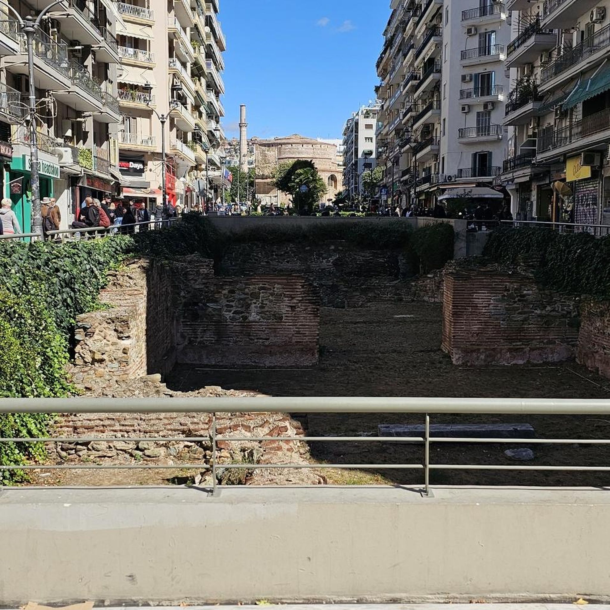
Church located near the César tower, dating from the 12th century, which could never be finished due to its excessive cost.
0
0
The emblematic monument of Provins! You can visit Caesar's Tower (entrance fee or included in the Provins Pass) and enjoy the breathtaking view at the top.
2
0

The climb to the Trou au Chat is quite dreaded by the runners of the famous race of the ramparts of Provins. But where does the name of this trail come from? Several theories but no explanation that holds up 100%, so let yourself be carried away by its charm!
0
0
Boulevard d'Aligre is ideal for a stroll or a jog in Provins. Located on the site of an old rampart, only the path remains today, superimposed on the old covered ditch. Here we have beautiful views of the walled city.
0
0

The firecracker to get to the top stings seriously 😉
0
1

Nice this climb, the entrance to the ramparts must be earned
1
0

nice historic district to make a ravito
2
0
Frequently Asked Questions
How many running routes are available around Villiers-Saint-Georges?
There are 15 dedicated jogging routes around Villiers-Saint-Georges listed on komoot, offering a variety of experiences for runners of all levels.
Are there easy running trails suitable for beginners in Villiers-Saint-Georges?
Yes, Villiers-Saint-Georges offers 2 easy running routes, perfect for beginners or those looking for a more relaxed jog. The overall network provides options for different ability levels, including 11 moderate routes.
What kind of terrain can I expect on the jogging routes in Villiers-Saint-Georges?
The jogging routes in Villiers-Saint-Georges are characterized by a blend of rural landscapes, gently undulating terrain, and wooded areas. The Aubetin river flows through the northern part of the commune, contributing to picturesque waterside views on some paths. The elevation ranges from 140 to 191 meters, offering varied but generally manageable inclines.
Are there any circular running routes in the Villiers-Saint-Georges area?
Yes, many of the running routes around Villiers-Saint-Georges are designed as loops. For example, the Running loop from Louan is a moderate 7.7 km path, and the Running loop from Fontaine Montaiguillon offers a 7.0 km moderate run.
What do other runners say about the trails in Villiers-Saint-Georges?
The running routes in Villiers-Saint-Georges are highly rated by the komoot community, with an average score of 4.8 stars from over 20 reviews. More than 600 runners have used komoot to explore the varied terrain, often praising the natural beauty and diverse landscapes.
Are there any notable landmarks or attractions I can see while running near Villiers-Saint-Georges?
While jogging, you can encounter several interesting spots. The Trou au Chat Trail and Boulevard d'Aligre are featured on some routes. Nearby, you might also find historical sites like the Saint-Ayoul Church and Priory or the Collegiate church of Saint-Quiriace.
Are there any longer distance running options around Villiers-Saint-Georges?
Yes, for those looking for a longer run, the Trou au Chat Trail – Boulevard d'Aligre loop from Provins is a moderate 11.3 km (7.0 miles) trail, typically taking over an hour to complete.
Are the running routes in Villiers-Saint-Georges suitable for families?
The area offers a mix of easy and moderate routes, making it possible to find options suitable for families. The gently undulating terrain and natural settings provide a pleasant environment for family outings, though specific routes should be chosen based on the family's fitness level.
What are the options for parking when accessing jogging routes in Villiers-Saint-Georges?
While specific parking details for each route are best checked on the individual komoot tour pages, Villiers-Saint-Georges, being a rural commune, generally offers various parking opportunities near trailheads or in village centers. It's advisable to check the starting points of your chosen route for the most convenient parking.
Can I find scenic running routes with historical elements near Villiers-Saint-Georges?
Absolutely. The region has a rich history. For instance, the Trou au Chat Trail – Medieval City of Provins loop from Provins combines natural scenery with historical surroundings, and the Cesar tower (12th century) – Medieval City of Provins loop from Provins leads directly through historical areas.
Are there any cafes or amenities near the jogging routes in Villiers-Saint-Georges?
Villiers-Saint-Georges is a commune with local amenities. While specific cafes directly on every trail might be limited due to its rural nature, you can find options in the village center or nearby towns. It's a good idea to plan your route to pass through or end near these areas if you wish to stop for refreshments.
Most popular routes around Villiers-Saint-Georges
Most popular attractions around Villiers-Saint-Georges

Get inspired with the komoot mobile app


Explore more
Browse the best Running Trails & Routes in other regions.
