The best walks and hikes around Brienon-Sur-Armançon
4.7
(36)
250
hikers
48
hikes
Hiking around Brienon-Sur-Armançon offers diverse natural landscapes in the Yonne department of Bourgogne-Franche-Comté, France. The region is characterized by extensive communal forests, providing numerous trails for walks. The Armançon River and Canal de Bourgogne also feature picturesque paths, highlighting waterways and local flora. Additionally, parks like Parc de l'Ile Saint-Martin offer further opportunities for outdoor activity.
Best hiking trails around Brienon-Sur-Armançon
- The most popular hiking route is Hiking loop from Pontigny, an easy 4.2 miles (6.8 km) trail that takes about 1 hour 47 minutes to complete, often passing through shaded forest paths.
- Another top favourite among local hikers is Hiking loop from Saint-Florentin, a moderate 7.9 miles (12.8 km) path. This route typically takes around 3 hours 23 minutes and explores the varied terrain of the surrounding countryside.
- Local hikers also love the Hiking loop from Dessus de Boudernault, a 7.7 miles (12.4 km) trail leading through local forests and open landscapes, often completed in about 3 hours 16 minutes.
- Hiking around Brienon-Sur-Armançon is defined by its communal forests, the scenic Armançon River, and the tranquil Canal de Bourgogne. The network offers options for different ability levels, from easy strolls to moderate excursions.
- The routes in Brienon-Sur-Armançon are highly rated by the komoot community with an average score of 4.7 stars from over 20 reviews. More than 200 hikers have used komoot to explore Brienon-Sur-Armançon's varied terrain.
Last updated: June 25, 2026
4.3
(3)
29
hikers
6.84km
01:47
50m
50m
Easy hike. Great for any fitness level. Easily-accessible paths. Suitable for all skill levels.
5.0
(2)
17
hikers
13.0km
03:27
130m
130m
Moderate hike. Good fitness required. Easily-accessible paths. Suitable for all skill levels.

Sign up for free
5.0
(1)
16
hikers
10.9km
02:46
20m
20m
Moderate hike. Good fitness required. Easily-accessible paths. Suitable for all skill levels.
5.0
(2)
11
hikers
Moderate hike. Good fitness required. Easily-accessible paths. Suitable for all skill levels.
4.0
(2)
5
hikers
6.45km
01:38
10m
10m
Easy hike. Great for any fitness level. Easily-accessible paths. Suitable for all skill levels.
Get access to more routes and recommendations from other explorers.
Sign up for free
Already have an account?
Our route recommendations are based on thousands of hikes, rides, and runs completed by other people on komoot.
Start today with a free account
Your next adventure awaits.
Login or Signup


Tips from the Community

A small section of the route was a bit difficult due to storm damage, but still doable
0
0

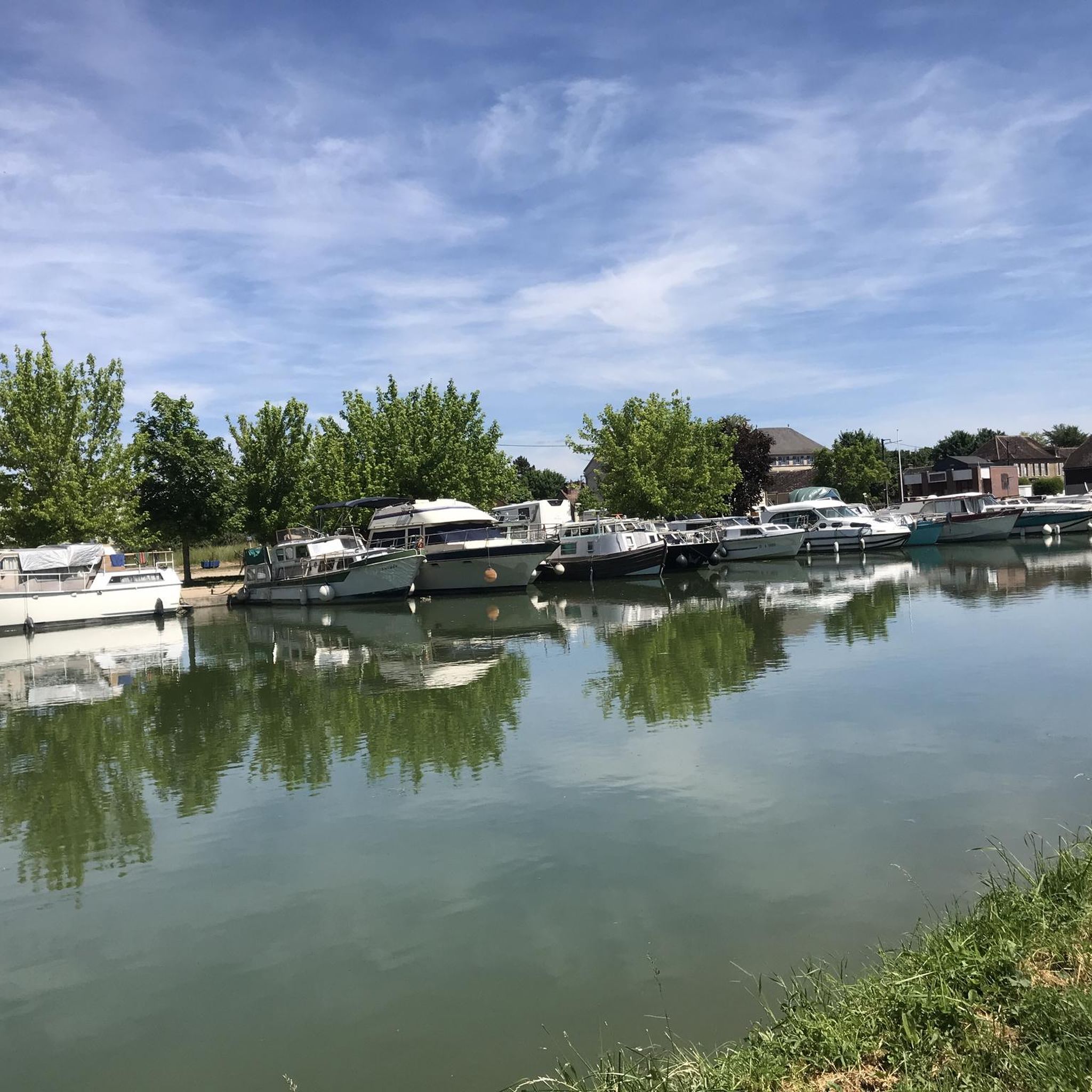
The Burgundy Canal has 189 locks, this one is lock n°1!
1
0

Saint Florentin is a pleasant little town that has been very well restored. The two fun and informative anecdotes to take away from the city are as follows: during the Revolution, Saint-Florentin was one of the most dynamic places of Theophilanthropy, a religion which succeeded the cult of reason and the supreme being between 1798 and 1801. During the convention, the anticlerical republicans renamed Saint-Florentin and called it Mont-Armance between 8 Germinal of Year Two (March 28, 1794) and 6 Ventôse of Year Three (February 24, 1795). The city is located on the edge of the Armance and the Burgundy Canal, but also the N77. Some ingenious minds wanted to take inspiration from the legendary American route 66 in the hope of attracting tourists, and now call it route 77.
2
0

Nice modernization. Pleasant city center
0
0
Frequently Asked Questions
How many hiking trails are available around Brienon-sur-Armançon?
There are nearly 50 hiking trails around Brienon-sur-Armançon, offering a variety of experiences for different skill levels. You'll find options ranging from easy strolls to more moderate excursions through the region's diverse landscapes.
What types of landscapes can I expect to see while hiking in Brienon-sur-Armançon?
Hikers in Brienon-sur-Armançon can expect to encounter diverse natural landscapes. The region is characterized by extensive communal forests, providing shaded paths and a chance to experience local flora. You'll also find picturesque routes along the Armançon River and the tranquil Canal de Bourgogne, with paths highlighting waterways and local nature. Parks like Parc de l'Ile Saint-Martin offer additional green spaces for exploration.
Are there easy hiking trails suitable for beginners or casual walkers?
Yes, Brienon-sur-Armançon offers 16 easy hiking trails perfect for beginners or those looking for a relaxed walk. An excellent option is the Hiking loop from Pontigny, which is an easy 4.2-mile (6.8 km) trail often passing through shaded forest paths.
Are there any family-friendly hiking options in the area?
Many of the easy trails are suitable for families. The region's parks, such as Parc de l'Ile Saint-Martin, offer pleasant, accessible paths for strolling. Look for routes that are shorter in distance and have minimal elevation gain for a comfortable family outing.
Can I find circular hiking routes in Brienon-sur-Armançon?
Yes, many of the trails in the area are designed as circular routes, allowing you to start and end at the same point. Examples include the Hiking loop from Saint-Florentin or the Hiking loop from Dessus de Boudernault, which explore varied terrain and local forests.
What interesting landmarks or attractions can I see along the hiking trails?
While hiking, you can discover several points of interest. The Canal de Bourgogne at Brienon-sur-Armançon itself is a scenic highlight, with paths running alongside it. Just 12 km away, the substantial Pontigny Abbey offers a historical and architectural point of interest that can be incorporated into longer excursions. Within Brienon-sur-Armançon, the historic Lavoir de la Poterne is also worth a visit.
Are there any dog-friendly walking paths in Brienon-sur-Armançon?
The extensive communal forests and paths along the Armançon River and Canal de Bourgogne generally welcome dogs, provided they are kept under control. These natural settings offer plenty of space for your canine companion to enjoy the outdoors with you. Always check local signage for specific restrictions in certain areas or parks.
Are there hiking trails accessible by public transport?
While Brienon-sur-Armançon is well-connected, many hiking trails typically start from the town center or nearby villages. For specific routes, it's advisable to check local bus schedules or consider starting points that are easily reachable from the main train station in Laroche-Migennes, which is a short distance away. For example, the Migennes Plage loop from Laroche - Migennes starts directly from a transport hub.
Are there parking facilities available near the trailheads?
Yes, many trailheads and popular starting points in and around Brienon-sur-Armançon, especially in villages like Pontigny or Saint-Florentin, offer convenient parking facilities. The town itself has parking options that allow easy access to local walks, including those along the waterways and into the communal forests.
What do other hikers enjoy most about the trails in Brienon-sur-Armançon?
The area is highly rated by the komoot community, with an average score of 4.7 stars from over 20 reviews. Hikers often praise the quiet woodlands, the scenic paths along the Armançon River and Canal de Bourgogne, and the variety of routes that cater to different fitness levels. The natural beauty and peaceful atmosphere are frequently highlighted.
Are there any opportunities for wild swimming or water activities near the hiking trails?
The Armançon River and Canal de Bourgogne are central to the region's natural appeal. While specific designated wild swimming spots might be limited, the Parc de l'Ile Saint-Martin, bordered by the Armançon River, is a popular spot for fishing and strolling. The Château de l'Armançon also offers outdoor activities such as canoeing, suggesting opportunities for water-based recreation in the vicinity.
Most popular routes around Brienon-Sur-Armançon
Most popular attractions around Brienon-Sur-Armançon

Get inspired with the komoot mobile app


Explore more
Browse the best Hikes in other regions.
