The best running trails around La Motte-D'Aveillans
4.6
(55)
4,757
runners
23
runs
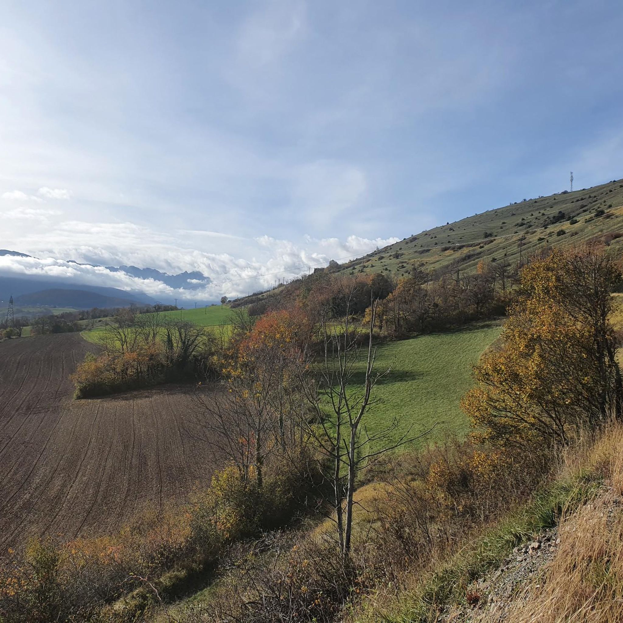
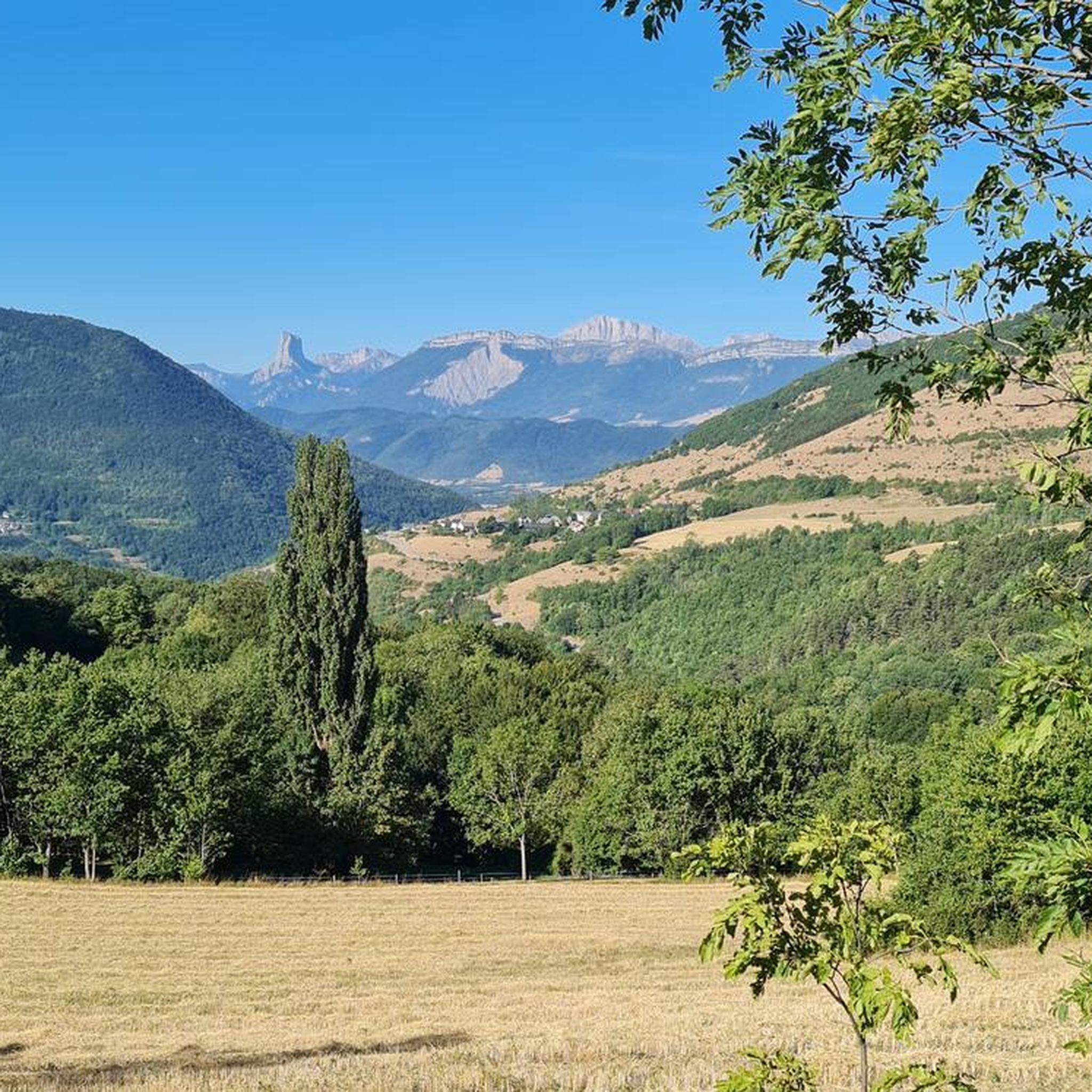
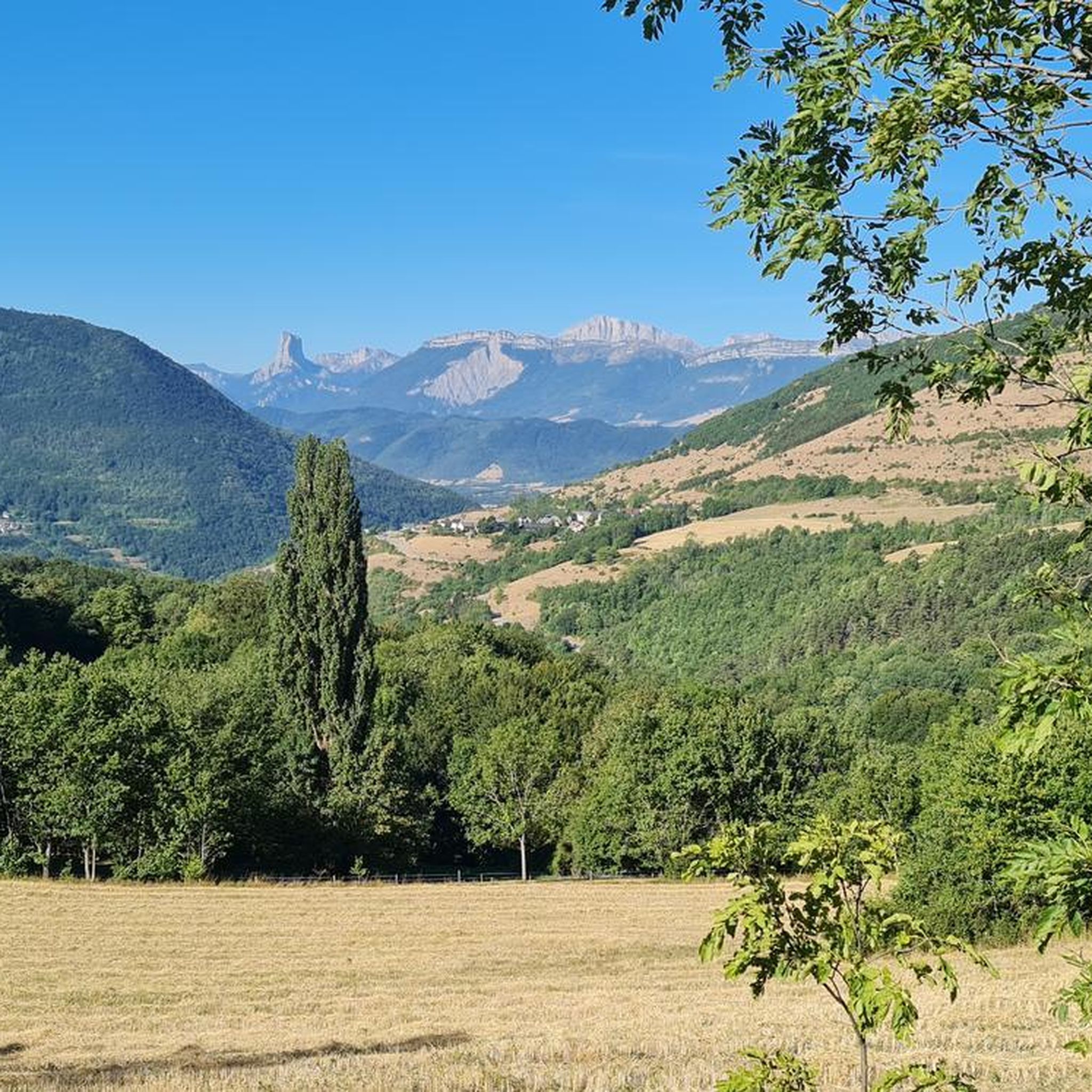
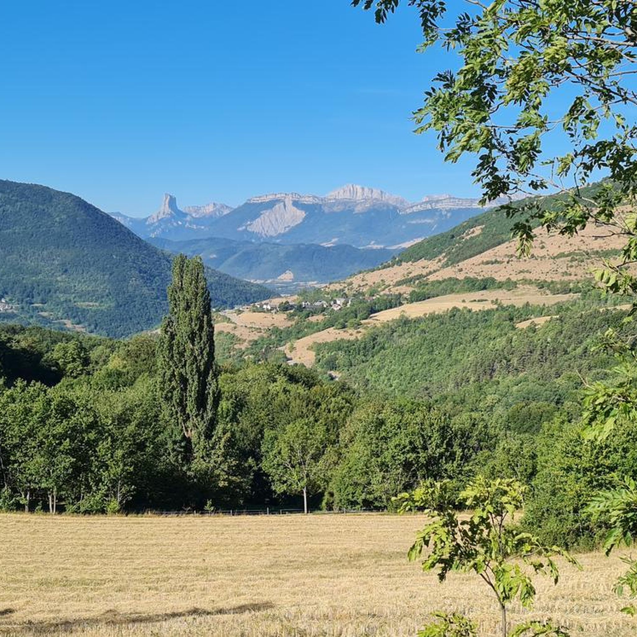
Jogging routes around La Motte-D'Aveillans traverse a varied landscape in the Matheysine region of the French Alps. The area features a mix of forests, river valleys, and agricultural plains, providing diverse terrain for runners. Notable natural features include several picturesque lakes, such as Grand Lac de Laffrey, and the Vercors massif in the background. The Matheysine plateau offers varied topography, ranging from 637 to 1617 meters in elevation.
Best jogging routes around La Motte-D'Aveillans
- The most popular jogging route is…
Last updated: July 1, 2026
5.0
(1)
200
runners
42.7km
06:19
1,860m
1,860m
Hard run. Very good fitness required. Sure-footedness, sturdy shoes and alpine experience required.
11
runners
10.6km
01:41
530m
530m
Hard run. Very good fitness required. Sure-footedness, sturdy shoes and alpine experience required.

Sign up for free
8
runners
35.3km
05:03
1,470m
1,470m
Hard run. Very good fitness required. Sure-footedness, sturdy shoes and alpine experience required.
6
runners
10.1km
01:20
390m
390m
Hard run. Very good fitness required. Mostly accessible paths. Some sure footedness required.
8
runners
4.82km
00:38
240m
240m
Moderate run. Good fitness required. Mostly paved surfaces. Suitable for all skill levels.
Get access to more routes and recommendations from other explorers.
Sign up for free
Already have an account?
Our route recommendations are based on thousands of hikes, rides, and runs completed by other people on komoot.
Start today with a free account
Your next adventure awaits.
Login or Signup


Tips from the Community

The little road that goes down from Cholonge is great and on arrival you have a superb view of Lake Lafrey
0
0

You have to go around the fences in front of the cameras but the paths do exist (August 2025)
0
0

Beautiful walk. You can just walk past the train gates.
1
0
Very beautiful panorama once you arrive at the Pierre Percée!
0
0

I did it on gravel, climbing via the Aveillans hill (west), it was fine. Direct descent to Putteville, very limited at the beginning on gravel, much steeper but it was fine.
0
0

1st part very smooth and very pleasant, 2nd part much more technical with a nice climb on a very greasy muddy path, steep slopes and quite technical descents. The final does not take the greenway recently set up and which allows you to avoid the road.
0
0

beautiful course, technical, D+ beautiful singles
0
0

Frequently Asked Questions
How many running routes are available around La Motte-D'Aveillans?
There are over 20 running routes around La Motte-D'Aveillans listed on komoot, offering a variety of experiences across the Matheysine region.
What kind of terrain can I expect on the jogging trails in La Motte-D'Aveillans?
The jogging trails in La Motte-D'Aveillans traverse a diverse landscape, including forests, river valleys, and agricultural plains. You'll find varied topography on the Matheysine plateau, ranging from 637 to 1617 meters in elevation, offering both gentle sections and more challenging climbs.
Are there any running routes that feature lakes or water views?
Yes, the region is known for its picturesque lakes. You can find routes that offer stunning views of Grand Lac de Laffrey, Lac Petichet, Lac Pierre-Châtel, and Lac Mort. For a longer challenge, consider the difficult route La Peyrouse – Grand Lake of Laffrey loop from La Motte-d'Aveillans, which covers 36.6 km.
What are some notable landmarks or natural attractions I can see while running?
The area boasts several unique natural features. You can run past the impressive natural arch of La Pierre Percée, which offers panoramic views. The famous Himalayan footbridges, the Ebron Footbridge and Drac Footbridge over Lake Monteynard, are also significant attractions that can be incorporated into longer runs.
Are there any circular running routes in the area?
Many of the running routes around La Motte-D'Aveillans are circular, providing convenient starting and ending points. For example, the difficult Les Grandes Côtes loop from La Motte-d'Aveillans is a 10.1 km option that takes you through varied terrain.
What do other runners enjoy most about jogging in La Motte-D'Aveillans?
The running routes in La Motte-D'Aveillans are highly rated by the komoot community, with an average score of 4.6 stars from over 40 reviews. Runners often praise the diverse terrain, from forests to river valleys, and the stunning alpine and lakeside scenery that makes each run an exploratory experience.
Are there any easy or moderate running options for beginners?
While many routes in the area are rated as difficult due to significant elevation changes, the Matheysine plateau does offer varied topography. You can find paths suitable for different fitness levels, though most listed routes are challenging. It's recommended to check the elevation profile for each route to match your ability.
Can I find routes with viewpoints for scenic jogging?
Absolutely. The region is rich in scenic viewpoints. The Pierre Percée offers panoramic views of the Matheysine plateau. Additionally, the La Pierre du Soleil and View of the Trièves Entrance from Route des Crêtes are other highlights that provide spectacular vistas along various trails.
Are there any routes that pass by waterfalls?
Yes, for those who enjoy the sound of cascading water, there is a Waterfall highlight in the vicinity of La Motte-D'Aveillans that can be included in your running adventures. Check komoot's map to find routes that pass nearby.
What is the best time of year to go running in La Motte-D'Aveillans?
The diverse landscapes of La Motte-D'Aveillans make it suitable for running across multiple seasons. Spring and autumn offer pleasant temperatures and vibrant scenery, while summer is ideal for higher altitude trails. Winter running is also possible, but be prepared for colder conditions and potential snow on higher ground.
Are there any specific trails known for being less crowded?
While popular routes like those around Lake Monteynard can see more visitors, the extensive trail network in the Matheysine region means you can often find quieter paths. Exploring routes through the Signaraux valley or lesser-known forest trails can offer a more solitary running experience.
Are there any trails suitable for families with children?
While many routes are rated difficult, the region offers varied terrain. For families, look for paths with less elevation gain and shorter distances. The agricultural plains and some forest paths can provide gentler options. Always check the route details and difficulty before heading out with children.
Most popular routes around La Motte-D'Aveillans
Most popular attractions around La Motte-D'Aveillans

Get inspired with the komoot mobile app


Explore more
Browse the best Running Trails & Routes in other regions.
