The best walks and hikes around Saint-Hilaire
4.3
(320)
1,506
hikers
105
hikes
Hiking around Saint-Hilaire offers diverse landscapes centered around Mont-Saint-Hilaire, a prominent hill rising to 414 meters (1,362 feet). The region is characterized by its unique geological features, including volcanic formations, and is home to the Mont Saint-Hilaire Biosphere Reserve. Dense natural forests, ancient trees, and the serene Lac Hertel define much of the terrain, providing a rich biodiversity for hikers to explore. The area also features foothills trails connecting to the main reserve.
Best hiking trails around Saint-Hilaire
- The most popular hiking route is Laissey to Tempt You – Scenic viewpoint overlooking Laissey loop from Laissey, a 5.6 miles (9.0 km) trail that takes 2 hours 52 minutes to complete. This route features a scenic viewpoint overlooking the Laissey area.
- Another top favourite among local hikers is Laissey to Tempt You – Rognon Waterfall loop from Laissey, a moderate 7.6 miles (12.3 km) path. This trail includes the Rognon Waterfall and diverse forest sections.
- Local hikers also love the Rognon Waterfall loop from Ougney-Douvot, a 6.9 miles (11.1 km) trail leading through varied terrain, often completed in about 3 hours 20 minutes.
- Hiking around Saint-Hilaire is defined by volcanic hills, dense woodlands, and tranquil lake areas. The extensive network offers options for different ability levels, from gentle paths to more challenging climbs.
- The routes in Saint-Hilaire are highly rated by the komoot community with an average score of 4.3 stars from over 270 reviews. More than 1300 hikers have used komoot to explore Saint-Hilaire's varied terrain.
Last updated: July 6, 2026
4.0
(2)
10
hikers
11.1km
03:19
340m
340m
Moderate hike. Good fitness required. Easily-accessible paths. Suitable for all skill levels.
4.0
(3)
11
hikers
10.8km
03:53
540m
540m
Hard hike. Good fitness required. Sure-footedness, sturdy shoes and alpine experience required.

Sign up for free
5.0
(3)
12
hikers
10.2km
03:06
330m
330m
Moderate hike. Good fitness required. Easily-accessible paths. Suitable for all skill levels.
12
hikers
6.56km
02:04
250m
250m
Moderate hike. Good fitness required. Easily-accessible paths. Suitable for all skill levels.
5.0
(1)
4
hikers
11.2km
03:06
200m
200m
Moderate hike. Good fitness required. Easily-accessible paths. Suitable for all skill levels.
Get access to more routes and recommendations from other explorers.
Sign up for free
Already have an account?
Our route recommendations are based on thousands of hikes, rides, and runs completed by other people on komoot.
Start today with a free account
Your next adventure awaits.
Login or Signup

Tips from the Community


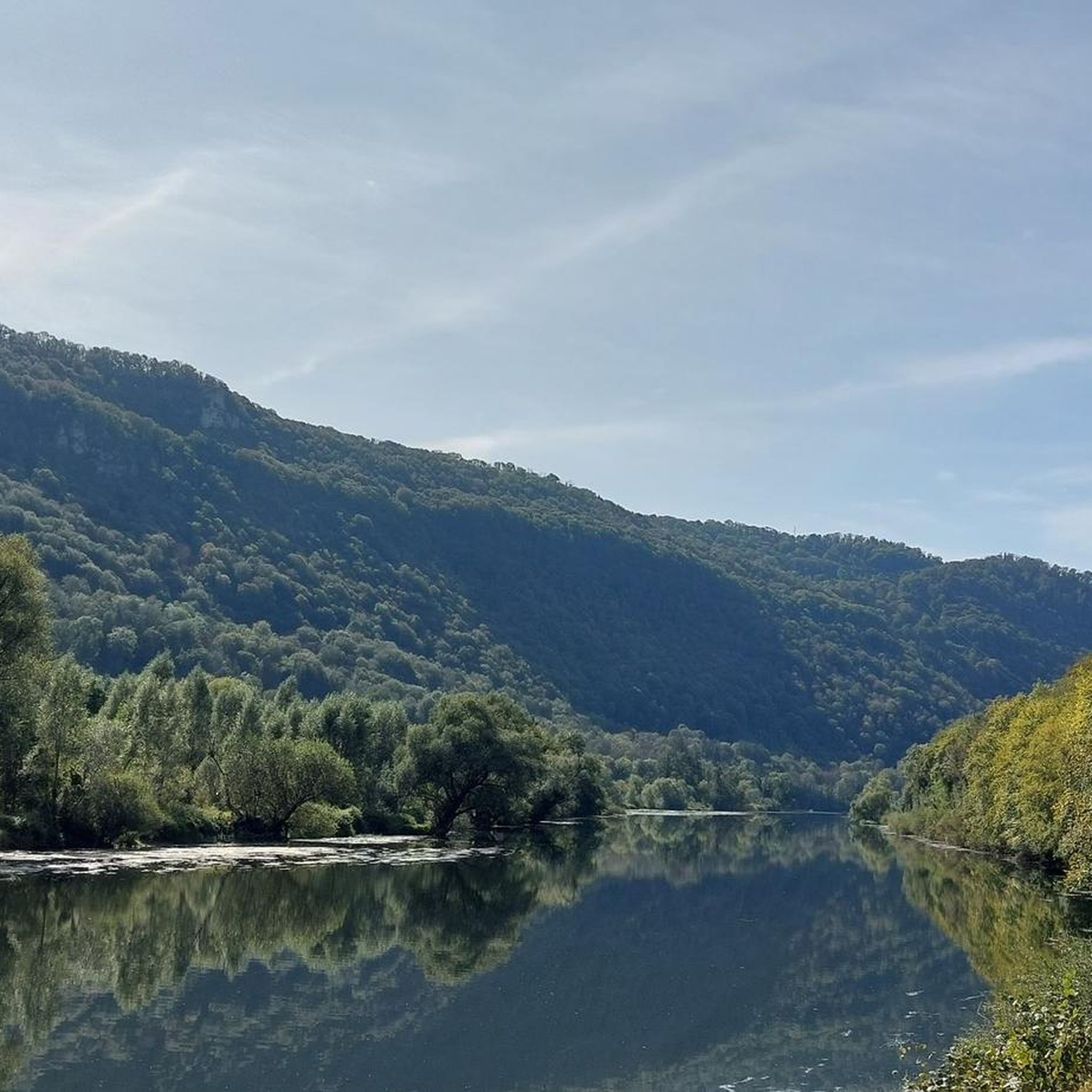
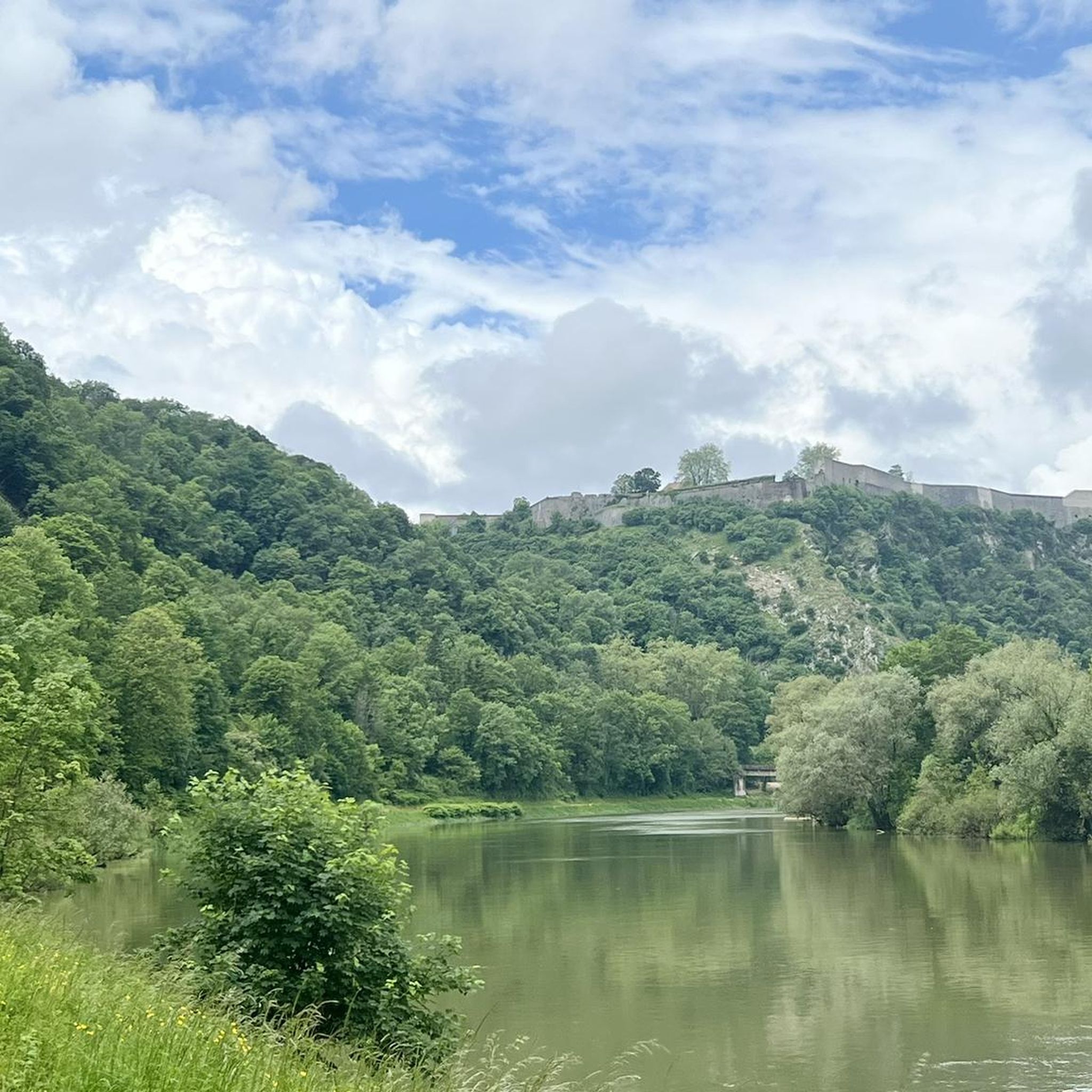
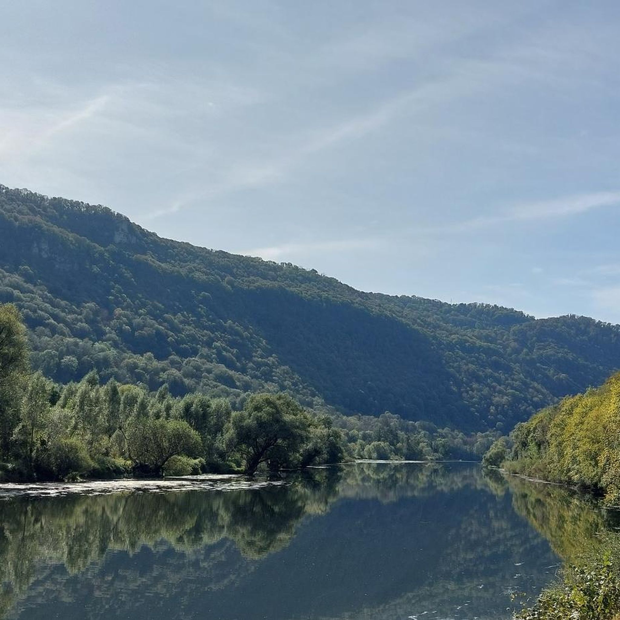
From La Chapelle d'Aigremont, you will have a view of the village of Roulans and its surroundings on one side and on the other a view of the village of Deluz and the Doubs valley.
0
0

Domaga we can't see more...
0
0
At the turn of a small path, you will have a breathtaking view of the Doubs valley and the villages of Ougney-Douvot.
1
0
Once on the rock, you have a magnificent view of the Doubs and the village of Douvot below. And on the plateau that of Roulans and its surroundings.
0
0

The cave is listed as a real classic among speleologists. Through a very small shaft entrance of just 30 x 50 cm. you have to abseil about 7 meters ... Then the next 18 meter deep shaft. A final climbing step, about 5 meters lower, ends in an impressive and large hall with beautiful stalactite columns.
4
0
The Grand Siblot is actually the smaller cave of the two. Only the entrance is bigger than at the Petit Siblot and thus referred to as Grand. The cave, which is about 100 meters long, can be climbed without climbing.
4
1
Frequently Asked Questions
What types of hiking trails can I find around Saint-Hilaire?
Saint-Hilaire offers a diverse range of trails, from gentle paths ideal for leisurely strolls to more challenging climbs. The region is characterized by volcanic hills, dense woodlands, and tranquil lake areas, particularly within the Mont Saint-Hilaire Biosphere Reserve and the Gault Nature Reserve. You'll find routes with panoramic views, trails winding around serene ponds, and paths through ancient forests.
Are there any easy or family-friendly hiking options in Saint-Hilaire?
Yes, Saint-Hilaire caters to all levels, including families and beginners. The Gault Nature Reserve features gentle paths like "La Boucle de la Rivière" and the "Boardwalk Loop" (1 km), perfect for easy walks. Overall, there are over 30 easy routes available in the area, ensuring a pleasant experience for everyone.
Are there any trails with waterfalls near Saint-Hilaire?
Yes, you can find trails that feature waterfalls. For example, the Laissey to Tempt You – Rognon Waterfall loop from Laissey is a moderate 7.6-mile (12.3 km) path that includes the Rognon Waterfall and diverse forest sections.
What kind of natural features or landmarks can I expect to see on hikes around Saint-Hilaire?
Hiking around Saint-Hilaire offers a wealth of natural beauty. You'll encounter the prominent Mont-Saint-Hilaire itself, part of a UNESCO Biosphere Reserve, offering panoramic views. The Gault Nature Reserve protects ancient forests and the serene Lac Hertel. You might also discover unique geological formations. For specific points of interest, consider exploring highlights like Along the Doubs River or the impressive The Grange-Ravey cliffs.
Are there any circular hiking routes available in Saint-Hilaire?
Yes, many of the trails in Saint-Hilaire are designed as loops, offering varied scenery without retracing your steps. An example is the La Tour des Bois loop from Rignosot, a moderate 9.3 km hike. The region's extensive network includes numerous circular options for different difficulty levels.
What is the best time of year to go hiking in Saint-Hilaire?
Saint-Hilaire is beautiful year-round, but autumn is particularly stunning when the maple foliage transforms into spectacular hues of red and gold. The Gault Nature Reserve trails are accessible year-round, allowing for hiking in warmer months and snowshoeing or cross-country skiing in winter.
What do other hikers enjoy most about hiking in Saint-Hilaire?
The area is highly rated by the komoot community, with an average score of 4.3 stars from over 270 reviews. Hikers often praise the diverse terrain, from volcanic hills to dense woodlands and tranquil lake areas, as well as the well-maintained and clearly marked trails that cater to various ability levels.
Are there any challenging hikes for experienced hikers in Saint-Hilaire?
Yes, Saint-Hilaire offers options for more experienced hikers. While many routes are moderate, there are also difficult trails available. For instance, the Hiking loop from Roulans is a challenging 11.6 km route with significant elevation gain, perfect for those seeking a more strenuous adventure.
Are there any caves or interesting geological sites to explore near the hiking trails?
Yes, the region is known for its unique geological features. You can explore several caves nearby, such as Grotte Sous Buen or Fourbanne Cave. Mont-Saint-Hilaire itself is a volcanic formation with distinctive rock types and is one of the world's richest mineralogical sites.
How many hiking routes are available in Saint-Hilaire?
There are over 95 hiking routes available around Saint-Hilaire, offering a wide variety of distances and difficulty levels to suit every hiker. This includes 34 easy, 47 moderate, and 14 difficult trails.
Are there any viewpoints offering scenic panoramas on the trails?
Absolutely. Mont-Saint-Hilaire is renowned for its panoramic views of the surrounding Montérégie region, the Richelieu River, and even Montreal on clear days. Trails like the "Sentier des Crêtes" and "Les Trois Sommets" in the Gault Nature Reserve are particularly known for their breathtaking vistas. You can also find specific routes like Laissey to Tempt You – Scenic viewpoint overlooking Laissey loop from Laissey that highlight these scenic spots.
Most popular routes around Saint-Hilaire
Most popular attractions around Saint-Hilaire

Get inspired with the komoot mobile app


Explore more
Browse the best Hikes in other regions.
