The best road cycling routes around Éourres
4.8
(88)
2,101
riders
43
rides
Road cycling routes around Éourres navigate a landscape characterized by mountainous terrain, including significant passes and plateaus. The region features varied elevations, with routes often incorporating challenging climbs and descents. Road cyclists can expect to encounter a mix of open vistas and winding roads through natural environments. This area provides a setting for endurance cycling with notable elevation gains.
Best road cycling routes around Éourres
- The most popular road cycling route is Montagne de Lure Pass – Le Rocher d'Ongles…
Last updated: August 19, 2026
53
riders
105km
05:47
2,170m
2,170m
Hard road ride. Very good fitness required. Some segments of this route may be unpaved and difficult to ride.
4.9
(9)
78
riders
54.6km
02:26
550m
550m
Moderate road ride. Good fitness required. Some segments of this route may be unpaved and difficult to ride.

Sign up for free
12
riders
98.2km
04:43
1,380m
1,380m
Hard road ride. Very good fitness required. Mostly well-paved surfaces and easy to ride.
5.0
(1)
19
riders
59.9km
02:47
630m
630m
Moderate road ride. Good fitness required. Mostly well-paved surfaces and easy to ride.
35
riders
58.3km
03:17
1,250m
1,250m
Hard road ride. Very good fitness required. Some segments of this route may be unpaved and difficult to ride.
Get access to more routes and recommendations from other explorers.
Sign up for free
Already have an account?
Our route recommendations are based on thousands of hikes, rides, and runs completed by other people on komoot.
Start today with a free account
Your next adventure awaits.
Login or Signup
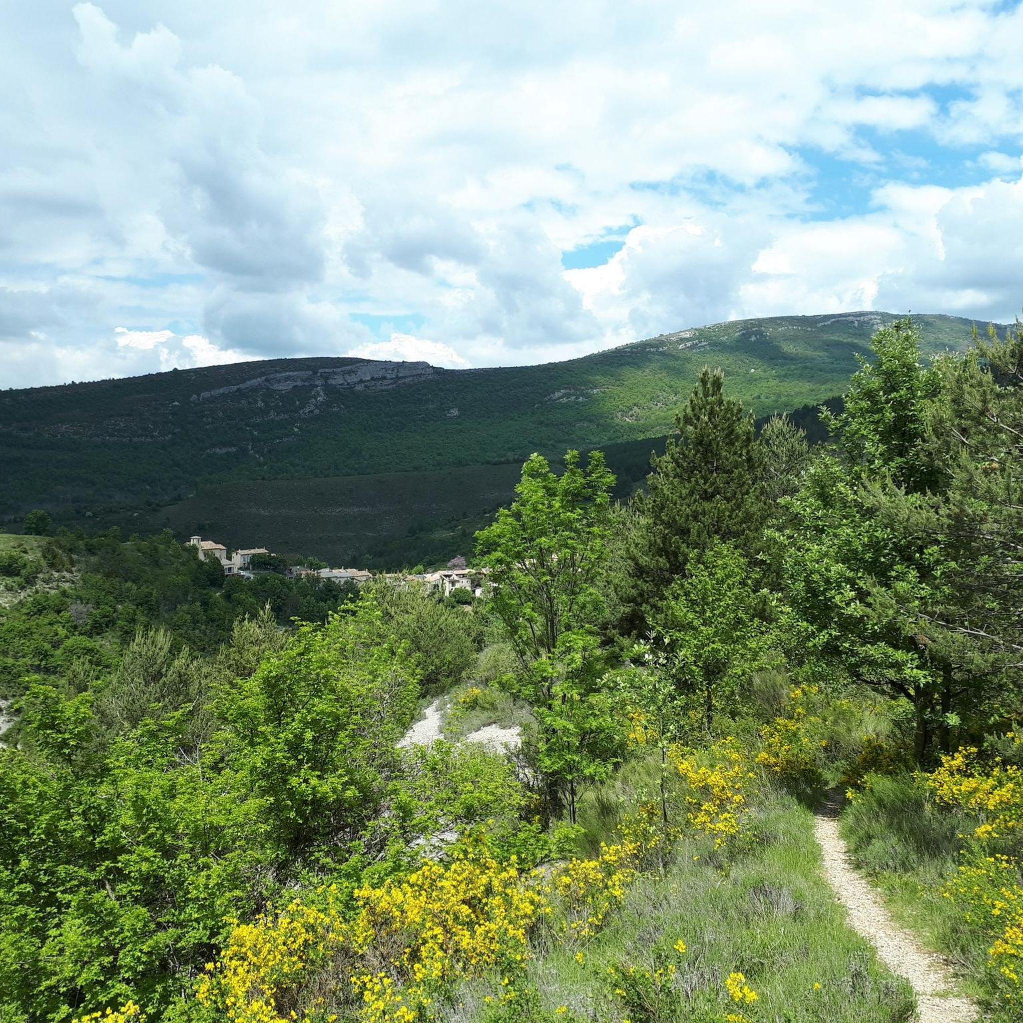
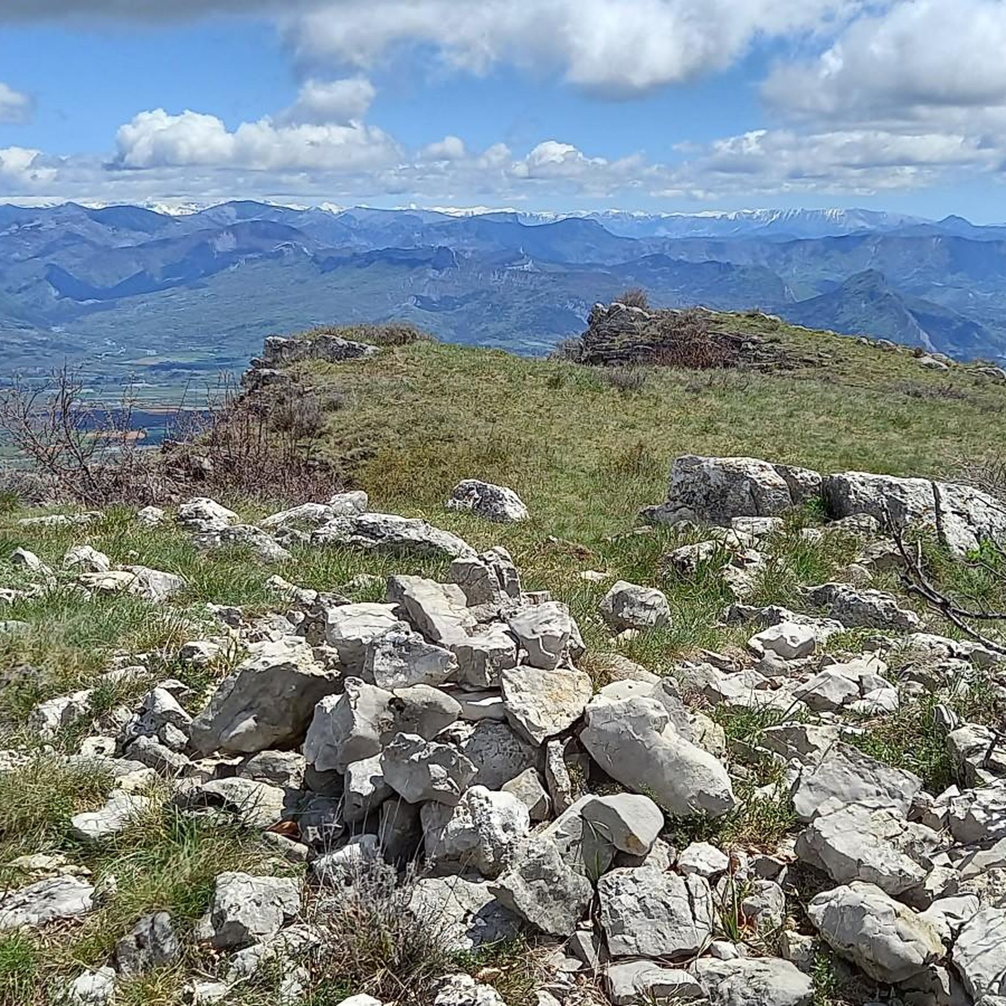
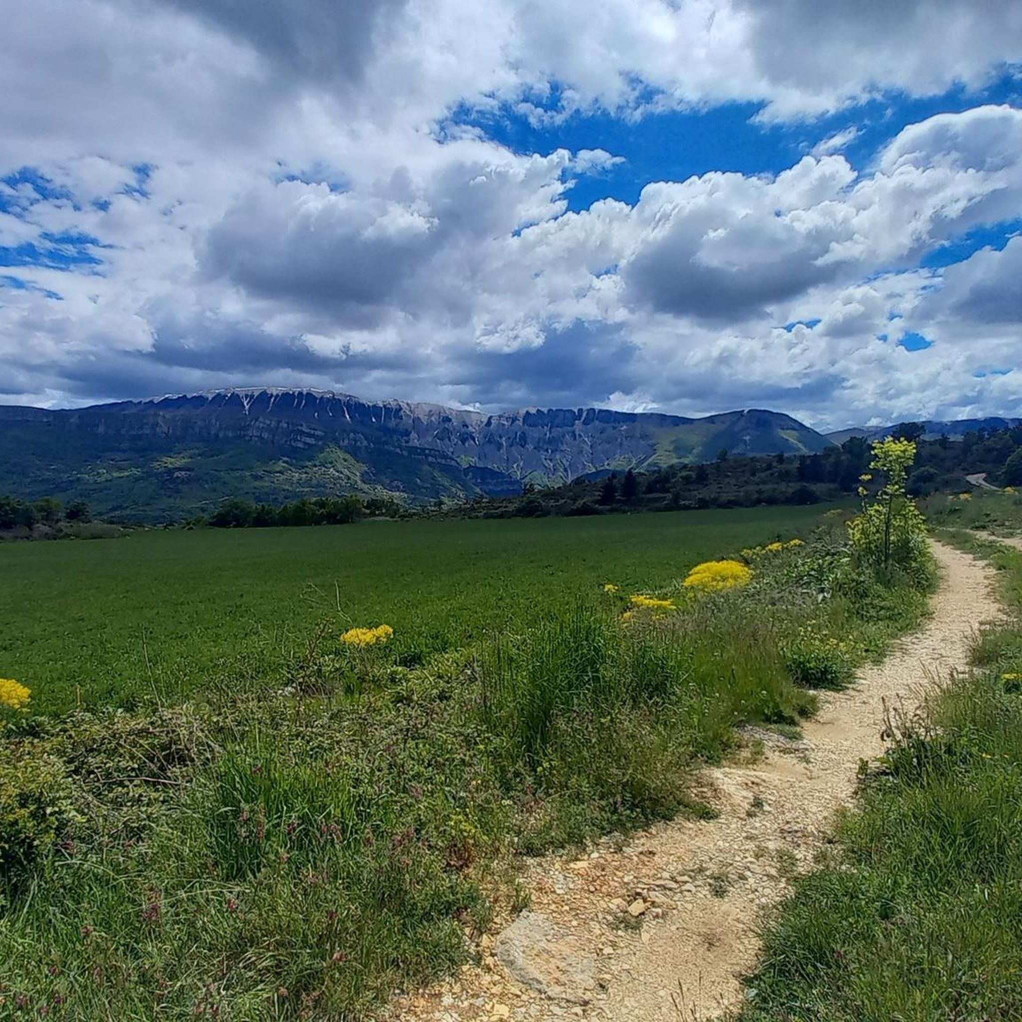
Tips from the Community

For cyclists it's a climb: * Length: approx. 7 km * Elevation gain: approx. 320 m * Average gradient: 4.6% * Maximum gradient: approx. 5%
7
0
This is truly a spectacular spot.
7
0
The Col de Soubeyrand (987–994 m, depending on the map source) is located in the Drôme department, in the Auvergne-Rhône-Alpes region, within the Baronnies provençales massif. It connects the Eygues valley with the Ennuye valley, between the villages of Rémuzat and Sainte-Jalle.
9
0
The Col de Peyruergue (794 m) is a pass located in the Drôme department, within the Parc naturel régional des Baronnies provençales. It connects the Ennuye valley with that of the Ouvèze, near Saint-Sauveur-Gouvernet.
8
0
This area is rich in beautiful orchards.
6
0
Spot for taking unforgettable photos.
9
0
Altitude: 1,159 m * Region: Drôme, on the border with the Hautes-Alpes department. * Connects: the villages of Laborel and Lachau with the Céans valley.
6
0
Secondary road with excellent asphalt.
9
0
Frequently Asked Questions
How many road cycling routes are available around Éourres?
There are over 30 road cycling routes around Éourres, offering a diverse range of experiences for cyclists. These routes are highly rated by the komoot community, with an average score of 4.8 stars from over 50 reviews.
What is the overall difficulty level of road cycling in Éourres?
The road cycling routes in Éourres cater to various skill levels. You'll find a good mix of challenges, with 8 easy routes, 13 moderate routes, and 13 difficult routes, ensuring there's something for everyone from beginners to advanced riders.
Are there easy road cycling routes suitable for beginners in Éourres?
Yes, Éourres offers several easy road cycling routes perfect for beginners. For example, the Barret-sur-Méouge – Araud Pass loop from Barret-sur-Méouge is an accessible option, covering about 25.9 km with manageable elevation gain.
Where can I find challenging road bike climbs around Éourres?
Éourres is known for its challenging mountainous terrain and significant passes. Routes like the Montagne de Lure Pass – Le Rocher d'Ongles loop from Montfroc, spanning 117.5 km with over 2,100 meters of elevation gain, offer substantial climbs. The region's difficult routes often incorporate passes such as Col de l'Homme Mort and Peyruergue Pass.
Are there loop road cycling routes available from Éourres?
Many of the road cycling routes around Éourres are designed as loops, allowing you to start and finish in the same location. An example is the Col de l'Homme Mort – Plateau de Sault lookout loop from Montfroc, which is a 60.3 km circular path traversing mountain passes.
Which road cycling routes offer scenic viewpoints around Éourres?
The mountainous landscape around Éourres provides numerous scenic viewpoints. Routes often pass by or near notable peaks and viewpoints. Consider exploring areas that offer views from summits like View from the Summit of Rocher de Saint-Michel or climbs such as Signal de Lure climb for panoramic vistas.
What natural attractions can I see along road cycling routes in Éourres?
Road cycling in Éourres can lead you past impressive natural monuments. The Gorges de la Méouge is a prominent feature in the area, offering stunning scenery and even swimming spots and waterfalls. Many routes will provide glimpses of these natural wonders.
What is the best time of year for road cycling in Éourres?
The best time for road cycling in Éourres is typically during the spring and autumn months. These seasons offer pleasant temperatures and less extreme weather conditions compared to the heat of summer or the potential for snow and colder temperatures in winter, especially at higher elevations.
Are there any longer distance road cycling routes for endurance training?
Absolutely. Éourres offers several longer routes ideal for endurance training. The Montagne de Lure Pass – Le Rocher d'Ongles loop from Montfroc is a significant 117.5 km route, while the Peyruergue Pass – Col de Soubeyrand (994 m) loop from Lachau covers 104.5 km, both featuring substantial elevation gains.
What should I bring for a road cycling trip in Éourres?
Given the varied elevations and mountainous terrain around Éourres, it's advisable to bring appropriate gear. This includes a well-maintained road bike, helmet, sufficient water and nutrition, repair kit, and layers of clothing to adapt to changing temperatures, especially when crossing passes or descending.
Are there road cycling routes that traverse mountain passes in Éourres?
Yes, road cycling in Éourres is characterized by routes that frequently incorporate mountain passes. You'll encounter passes like Col de l'Homme Mort, Peyruergue Pass, and Col de Soubeyrand, which are integral to many of the region's challenging and scenic rides.
What kind of terrain can I expect on road cycling routes around Éourres?
The terrain around Éourres is predominantly mountainous, featuring significant elevation changes, challenging climbs, and rewarding descents. Cyclists can expect a mix of open vistas, winding roads, and natural environments, often traversing high plateaus and mountain passes.
Most popular attractions around Éourres

Get inspired with the komoot mobile app


Explore more
Browse the best Road cycling routes in other regions.
