Top 5 Mountain Passes around Sigottier
Mountain passes around Sigottier offer diverse experiences within the Hautes-Alpes department. The region is characterized by limestone cliffs and mountainous terrain, providing opportunities for outdoor activities. These passes provide access to various elevations and viewpoints. The area is suitable for exploring natural features and offers a range of routes for different skill levels.
Best mountain passes around Sigottier
- The most popular mountain passes is Col de Carabès, a mountain pass that features a narrow, little-traveled road. It offers panoramic…
Last updated: September 2, 2026
Col de Carabès
Highlight • Mountain Pass
Showing Translation
Tip by

Cabre Pass (1,180 m)
Highlight (Segment) • Mountain Pass
Showing Translation
Tip by
Sign up now to discover places like this
Get recommendations on the best single tracks, peaks, & plenty of other exciting outdoor places.
Sign up for free
Verniers Pass
Highlight • Mountain Pass
Showing Translation
Tip by
Col des Tourette (1126 m)
Highlight • Mountain Pass
Showing Translation
Tip by
Col de la Saulce (877 m)
Highlight • Mountain Pass
Showing Translation
Tip by
Sign up for free to discover even more mountain passes around Sigottier.
Sign up for free
Already have an account?
Start today with a free account
Your next adventure awaits.
Login or Signup

Other adventures around Sigottier

Tips from the Community

Not a very demanding climb. Asphalt in excellent condition.
5
0
The Col de Verniers via Châteauneuf d'Oze is a climb located in the Hautes-Alpes region. This climb is 2.4 km long, with a total elevation gain of 124 m. The Col de Verniers via Châteauneuf d'Oze has an average gradient of 5.1%.
22
0
Col de la Saulce is a pass in the Baronnies, located in the Hautes-Alpes department, at an altitude of 874 m. It connects the Eygues valley with the Buëch valley and is crossed by the departmental road D994.
11
0
The Col de Carabès is a mountain pass located in the French Alps, on the border between the departments of Drôme and Hautes-Alpes.
19
0
Col de Cabre is a mountain pass located in the southeast of France, between the departments of Drôme and Hautes-Alpes, in the regions Auvergne-Rhône-Alpes and Provence-Alpes-Côte d'Azur.
18
0
Colle di Cabre is an alpine pass located at an altitude of 1,180 meters, on the border between the French departments of Drôme and Hautes-Alpes, in the Auvergne-Rhône-Alpes region. It connects the Diois valley, to the west, with the Buëch valley, to the east, representing one of the main passages in the southern French Alps.
12
0

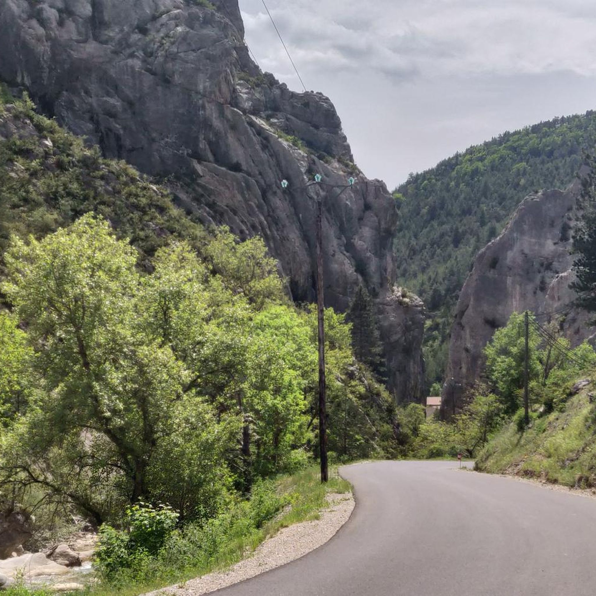
Much better alternative than the main road from the Drôme towards Gap. Almost no traffic, on average 4-5% on both sides, but short stretches also 7-8%. On the south side beautiful rock formations and gorge, north side less spectacular, more between trees.
4
0

Very beautiful panorama on the Hautes Alpes side
4
0
Frequently Asked Questions
What are some easily accessible mountain passes near Sigottier?
For a relaxed outing, Col d'Aron is easily accessible via a forest track and includes a cabin for shelter and picnic tables. Another good option is Col de Carabès, which is part of a loop trail from La Piarre and features easily accessible paths suitable for various skill levels.
Which mountain passes near Sigottier offer historical or cultural points of interest?
The Col de Saumane, reaching an altitude of 1,030 meters, is connected by a beautiful path where visitors can find the historic Notre-Dame de Saumane chapel, also known as Notre-Dame-des-Anges. This adds a cultural and spiritual dimension to the natural beauty of the area.
What are some recommended mountain passes for panoramic views around Sigottier?
For breathtaking vistas, Le Duffre (Montagne de l'Aup), at 1,757 meters, provides a beautiful panoramic view of the surrounding mountains and valleys. Additionally, Col des Tourette (1126 m) offers a splendid view of the Chauvet and Maraysse mountains.
What types of outdoor activities can I do near the mountain passes around Sigottier?
The region offers diverse outdoor activities. You can explore various road cycling routes, such as the 'Haut-Buëch Loop' or 'Three Cols of the Baronnies Provençales Loop'. For gravel biking, options include the 'Chemin des Gorges d’Agnielles' loop. Hiking is also popular, with trails like the 'Serres – Chemin Haut de Saumane loop' and the 'Col d'Aron shelter – Sigottier loop'. You can find more details on these activities in the dedicated guides for Road Cycling, Gravel Biking, and Hiking around Sigottier.
Are there family-friendly mountain passes or trails near Sigottier?
Yes, Col de Carabès is described as having easily accessible paths and being suitable for all skill levels, making it an excellent choice for families or those looking for a less demanding hike. The loop trail from La Piarre to Col de Carabès is a moderate option for a family outing.
What natural features characterize the mountain passes around Sigottier?
The region around Sigottier, within the Hautes-Alpes department, is known for its dramatic limestone cliffs and unique geological formations. The mountainous terrain provides numerous opportunities to explore these natural features, offering diverse landscapes and scenic beauty.
When is the best time to visit the mountain passes around Sigottier?
Hiking and outdoor activities in the region are generally best enjoyed during spring, summer, and early autumn. During these seasons, trails are typically clear of snow, and weather conditions are more favorable for exploration.
Can I find any shelters or amenities at the mountain passes?
At Col d'Aron, you will find a cabin for shelter and nearby picnic tables, making it a convenient spot for a stop. The La Piarre to Col d'Arron Gravel Route also mentions a shelter at the pass for a break or even an overnight stay, though no water is available there.
What kind of wildlife might I encounter near the mountain passes?
Visitors exploring the ridge lines of the mountainous terrain around Sigottier may have the opportunity to spot various wildlife, including large birds of prey.
Are there any intermediate hiking trails that include mountain passes?
Yes, several intermediate trails incorporate mountain passes. For example, the 'Col de Carabès – Col de Carabès loop from La Piarre' is a moderate hiking option. Another intermediate trail is the 'Serres – Chemin Haut de Saumane loop from Serres', which offers a scenic route with cultural elements.
What makes the Verniers Pass notable for cyclists?
Verniers Pass is notable for its average gradient of 5.1% and its length of 2.4 km when approached via Châteauneuf d'Oze, making it a distinct challenge for road cyclists.
What is the Col de la Saulce like for driving or cycling?
Col de la Saulce (877 m), despite being on the D94, offers a rather leisurely drive or cycle. It provides wonderful panoramic views of the landscape, particularly the section around Rosans which leads through an open valley.
Most popular routes around Sigottier
Most popular attractions around Sigottier

Get inspired with the komoot mobile app


Explore more
See even more epic mountain passes by checking out these guides around Sigottier:
