The best running trails around La Bâtie-Montsaléon
4.5
(24)
732
runners
82
runs
Jogging around La Bâtie-Montsaléon offers diverse landscapes within the Southern French Alps, characterized by varied terrain and significant elevation changes ranging from 671 to 1,431 meters. The region features unique "marl" geological formations, extensive forests like the Forêt de Durbon, and river valleys such as the Buëch, providing a mix of flat sections, gentle inclines, and steeper climbs. Jogging routes around La Bâtie-Montsaléon also include paths along water bodies like the Plan d'Eau du Riou.
Best jogging routes around La…
Last updated: July 8, 2026
12
runners
11.4km
01:48
700m
700m
Hard run. Very good fitness required. Mostly accessible paths. Some sure footedness required.
5.0
(1)
14
runners
9.80km
01:01
50m
50m
Moderate run. Good fitness required. Mostly paved surfaces. Suitable for all skill levels.

Sign up for free
12
runners
9.29km
01:46
770m
770m
Hard run. Very good fitness required. Mostly paved surfaces. Suitable for all skill levels.
10
runners
9.68km
01:48
740m
740m
Hard run. Very good fitness required. Mostly paved surfaces. Suitable for all skill levels.
7
runners
10.4km
01:06
70m
70m
Moderate run. Good fitness required. Mostly paved surfaces. Suitable for all skill levels.
Get access to more routes and recommendations from other explorers.
Sign up for free
Already have an account?
Our route recommendations are based on thousands of hikes, rides, and runs completed by other people on komoot.
Start today with a free account
Your next adventure awaits.
Login or Signup
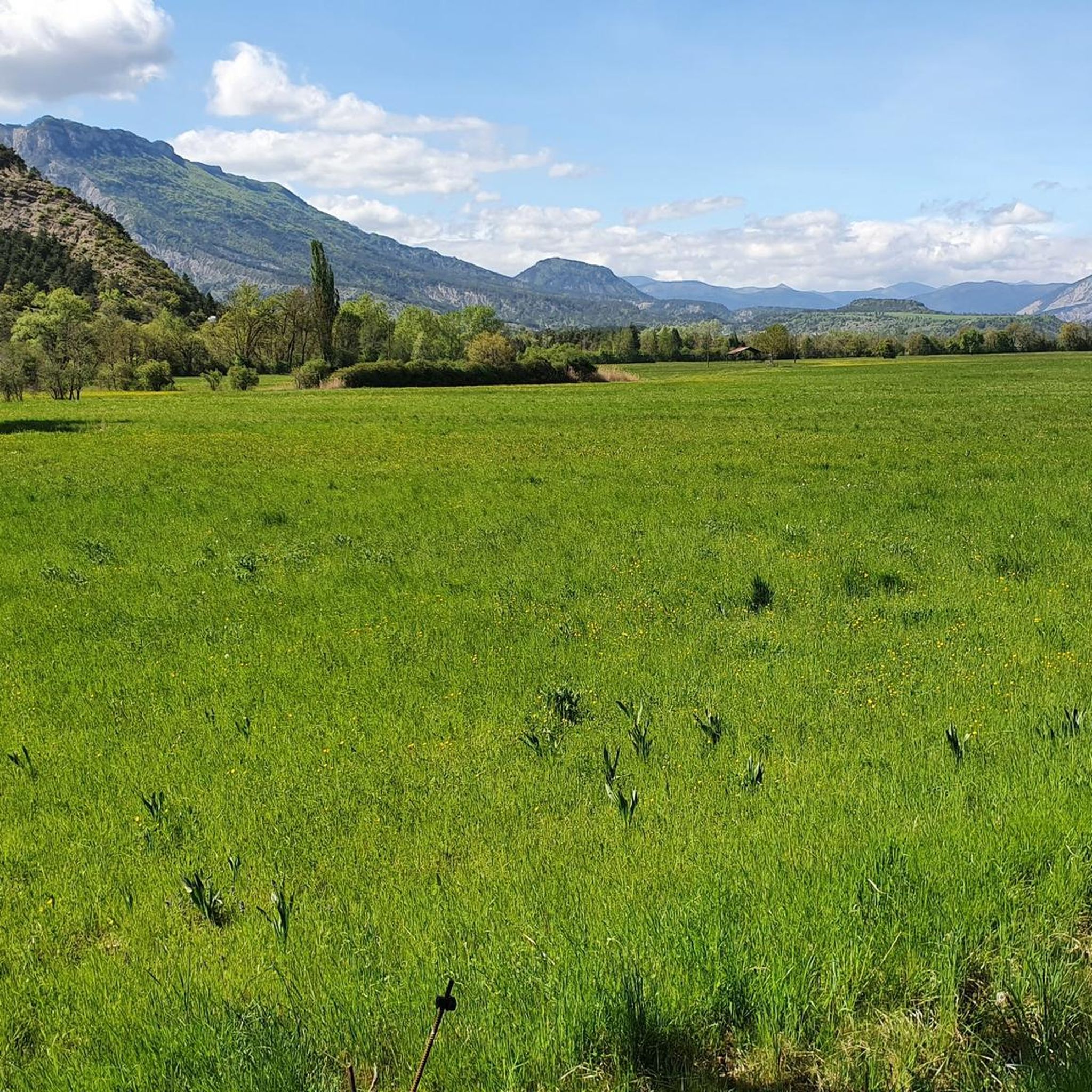
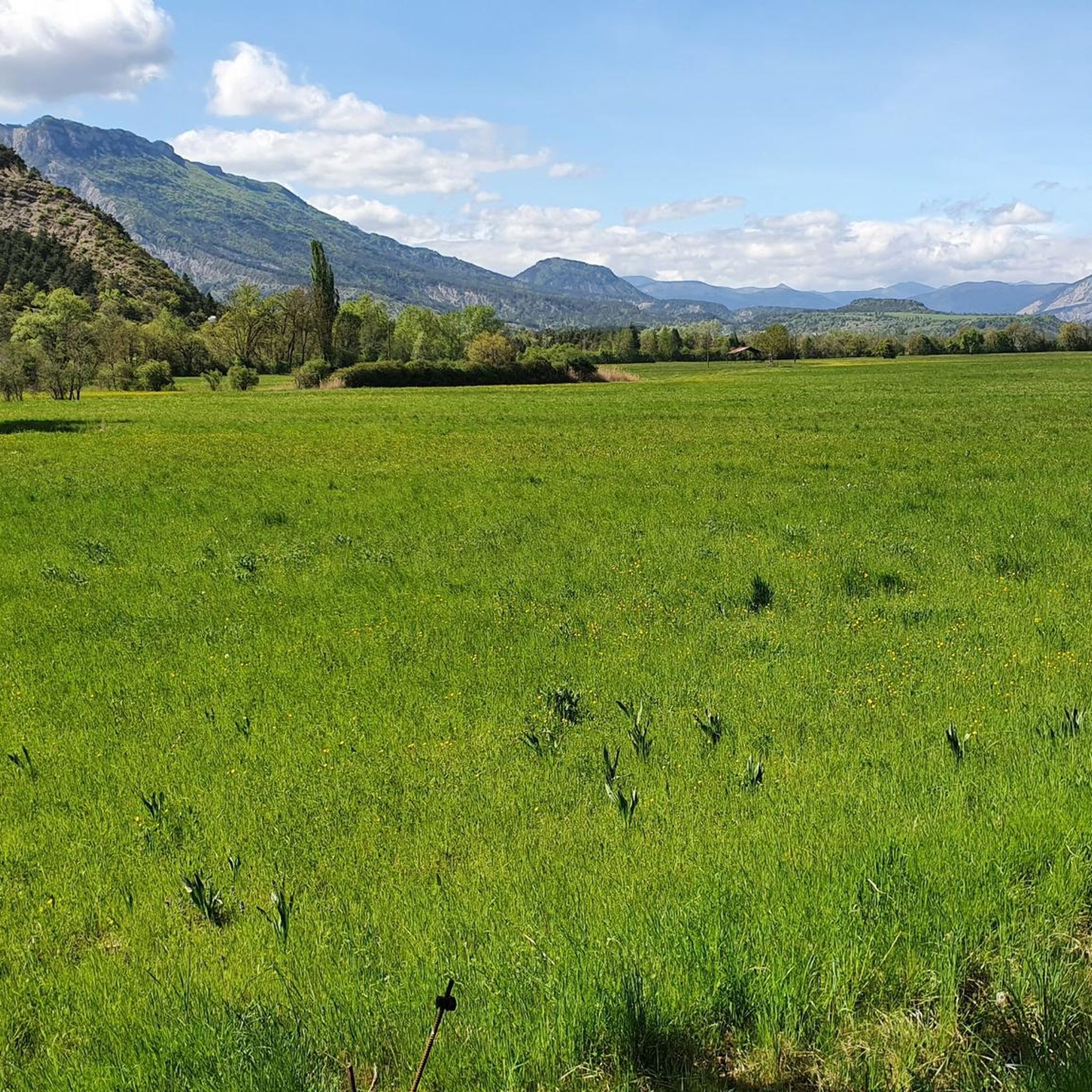
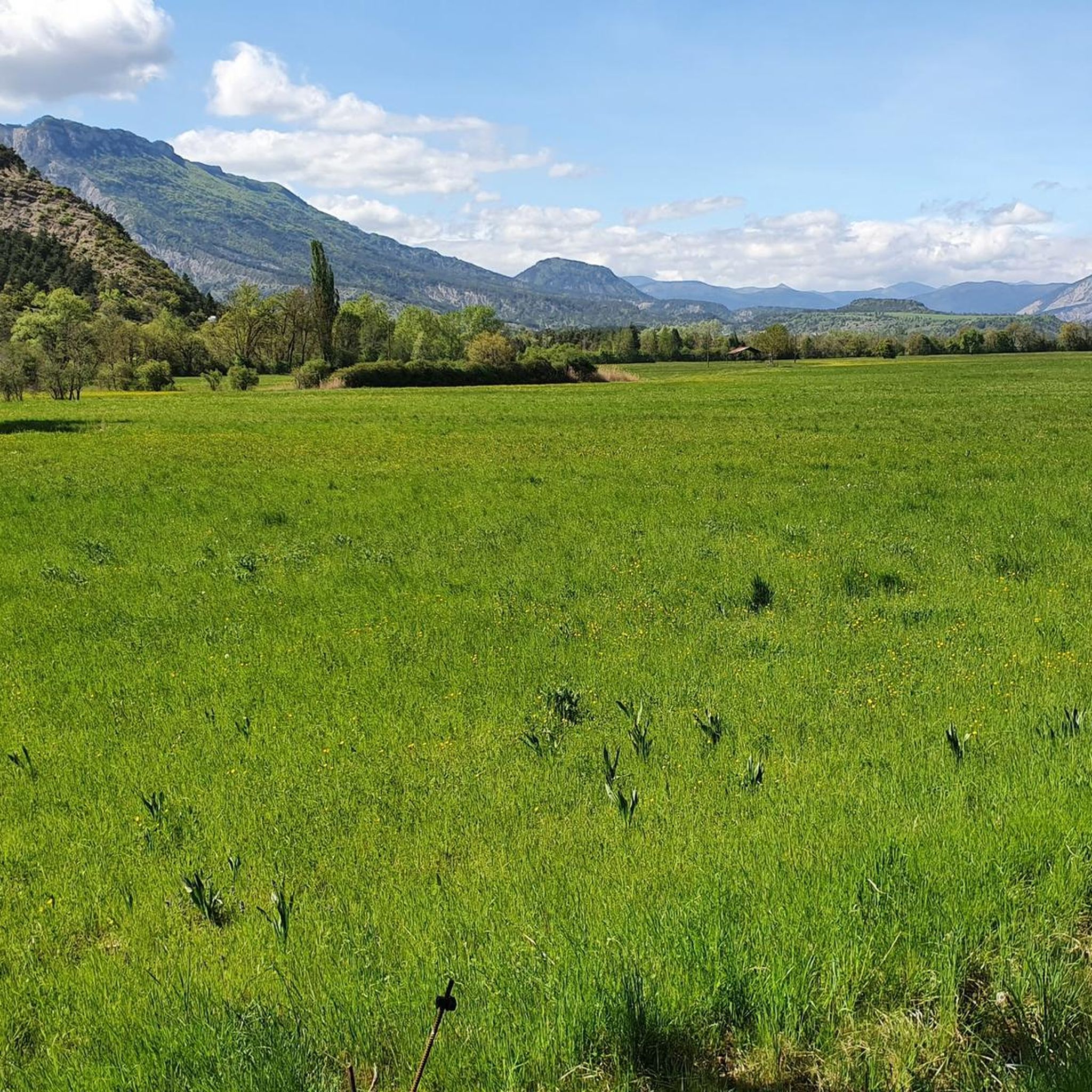
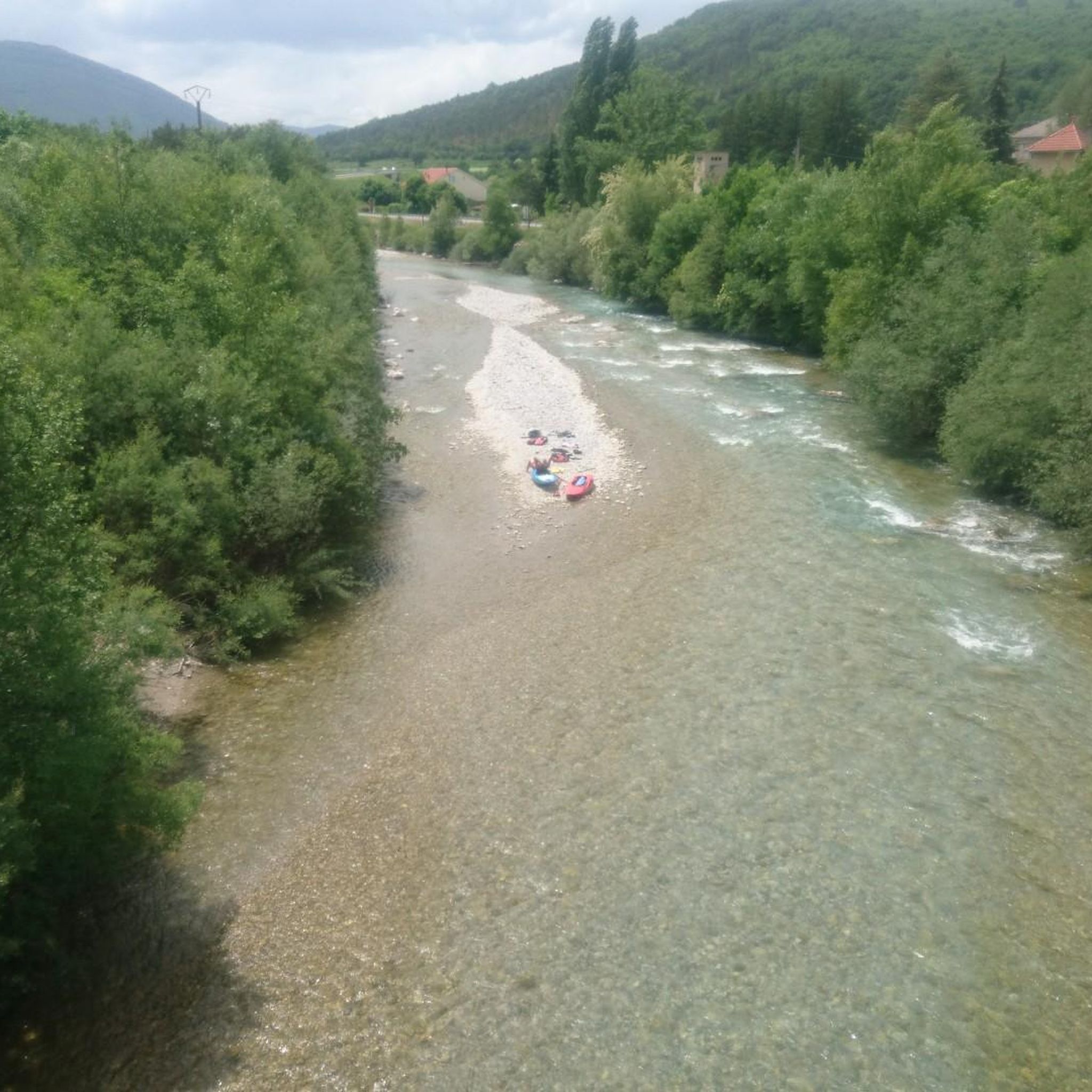

Tips from the Community

Serres is a municipality in southeastern France, located in the department of Hautes-Alpes, in the Provence-Alpes-Côte d’Azur region.
19
0

Located at an altitude of 660 meters and leaning against the Pignolette rock, the village of Serres dominates the valley and its river. This small medieval town boasts some treasures: the arcaded square, the sculpted doors, the Romanesque church... As you stroll through its streets, you discover its rich history.
4
0
Frequently Asked Questions
What types of running routes can I find around La Bâtie-Montsaléon?
The region offers a diverse range of running routes, from moderate paths to challenging ascents. You'll find trails through unique "marl" geological formations, lush forests like the Forêt de Durbon, and along river valleys such as the Buëch. The elevation changes significantly, providing options for various fitness levels.
Are there any easy or beginner-friendly running paths in La Bâtie-Montsaléon?
Yes, among the 88 available routes, 7 are classified as easy, and 37 are moderate. For a relatively flat and scenic option, consider the Café Terrace in Serres – Serres loop from Le Bersac, which offers minimal elevation changes and a mix of village charm and natural scenery.
What are the best times of year to go jogging in the Southern French Alps around La Bâtie-Montsaléon?
La Bâtie-Montsaléon benefits from approximately 300 days of sunshine annually, making it suitable for outdoor activities for much of the year. Spring and autumn offer pleasant temperatures, while shaded forest trails are ideal for warmer summer months. Winter running is also possible, especially on lower elevation paths, but be prepared for colder conditions and potential snow at higher altitudes.
Are there any circular running routes available?
Yes, many routes in the area are circular. For example, the Étang de Pêche loop from Serres is a moderate 11.1 km circular trail leading through varied landscapes, including a fishing pond. Another option is the challenging Saint-Apôtre – Col de Seille loop from Aspres-sur-Buëch.
What kind of natural features or landmarks can I expect to see while running?
You'll encounter diverse landscapes, including the distinctive "marl" geological formations, particularly visible near the Espréaux Pass. River valleys, lush forests, and water bodies like the Plan d'Eau du Riou also feature prominently. Higher routes offer panoramic views from mountain passes such as Col de Carabès.
Can I bring my dog on the running trails?
While many trails in the Hautes-Alpes are dog-friendly, it's always recommended to check specific route regulations or local signage. Generally, dogs are welcome on leash, especially in less protected areas. Be mindful of livestock and wildlife, and ensure your dog is well-behaved and doesn't disturb other users or the environment.
Are there any running routes suitable for families with children?
For families, look for the easier or moderate routes with minimal elevation gain. Paths along the Buëch river or around the various "Plans d'Eau" (lakes) like Plan d'Eau du Riou often provide flatter, more accessible terrain. The Café Terrace in Serres – Serres loop from Le Bersac is a moderate option that could be suitable for active families.
What do other runners say about the trails in La Bâtie-Montsaléon?
The running routes in La Bâtie-Montsaléon are highly rated by the komoot community, with an average score of 4.5 stars from more than 20 reviews. Runners often praise the varied terrain, the stunning luminous landscapes of the Southern French Alps, and the opportunities for both challenging ascents and serene, flat sections.
Are there any historical or cultural sites to explore near the running paths?
Yes, the village of La Bâtie-Montsaléon itself has historical significance as an ancient Gallo-Roman site. Nearby medieval villages like Serres offer charming settings for runs with historical flair. You might also encounter sites like Clausonne Abbey, adding a cultural dimension to your run.
How many running routes are available in the La Bâtie-Montsaléon area?
There are 88 dedicated running routes around La Bâtie-Montsaléon listed on komoot, offering a wide range of distances and difficulties to suit all preferences.
Can I find routes that offer wildlife spotting opportunities?
Running through the region's lush forests, such as the Forêt de Durbon, and along river valleys provides excellent opportunities for wildlife spotting. The Hautes-Alpes region is rich in biodiversity, and you might encounter various bird species, small mammals, and local flora, especially during quieter times of the day.
Are there any amenities like cafes or restaurants near the running trails?
Villages like Serres, which is a starting point for several routes including the Serres – Café Terrace in Serres loop from Serres, offer cafes and restaurants where you can refuel before or after your run. It's advisable to check opening hours, especially in smaller hamlets.
Most popular routes around La Bâtie-Montsaléon
Most popular attractions around La Bâtie-Montsaléon

Get inspired with the komoot mobile app


Explore more
Browse the best Running Trails & Routes in other regions.
