The best walks and hikes around Courquetaine
4.4
(199)
1,003
hikers
101
hikes
Hiking around Courquetaine offers access to a network of trails through the rural landscapes of the Île-de-France region. The area is characterized by gentle terrain, agricultural fields, and scattered woodlands. Elevation changes are minimal, making many routes suitable for various fitness levels. The trails often connect small villages and historical points of interest.
Best hiking trails around Courquetaine
- The most popular hiking route is Presles-en-Brie Church loop from Presles-en-Brie, a 2.1 miles (3.4 km) trail that takes 52 minutes…
Last updated: July 5, 2026
5.0
(1)
16
hikers
3.42km
00:52
10m
10m
Easy hike. Great for any fitness level. Easily-accessible paths. Suitable for all skill levels.
5.0
(2)
11
hikers
17.0km
04:27
120m
120m
Moderate hike. Good fitness required. Easily-accessible paths. Suitable for all skill levels.

Sign up for free
9
hikers
2.97km
00:45
10m
10m
Easy hike. Great for any fitness level. Easily-accessible paths. Suitable for all skill levels.
5.0
(3)
5
hikers
10.8km
02:51
100m
100m
Moderate hike. Good fitness required. Easily-accessible paths. Suitable for all skill levels.
4.7
(3)
5
hikers
8.53km
02:15
70m
70m
Moderate hike. Good fitness required. Easily-accessible paths. Suitable for all skill levels.
Get access to more routes and recommendations from other explorers.
Sign up for free
Already have an account?
Our route recommendations are based on thousands of hikes, rides, and runs completed by other people on komoot.
Start today with a free account
Your next adventure awaits.
Login or Signup
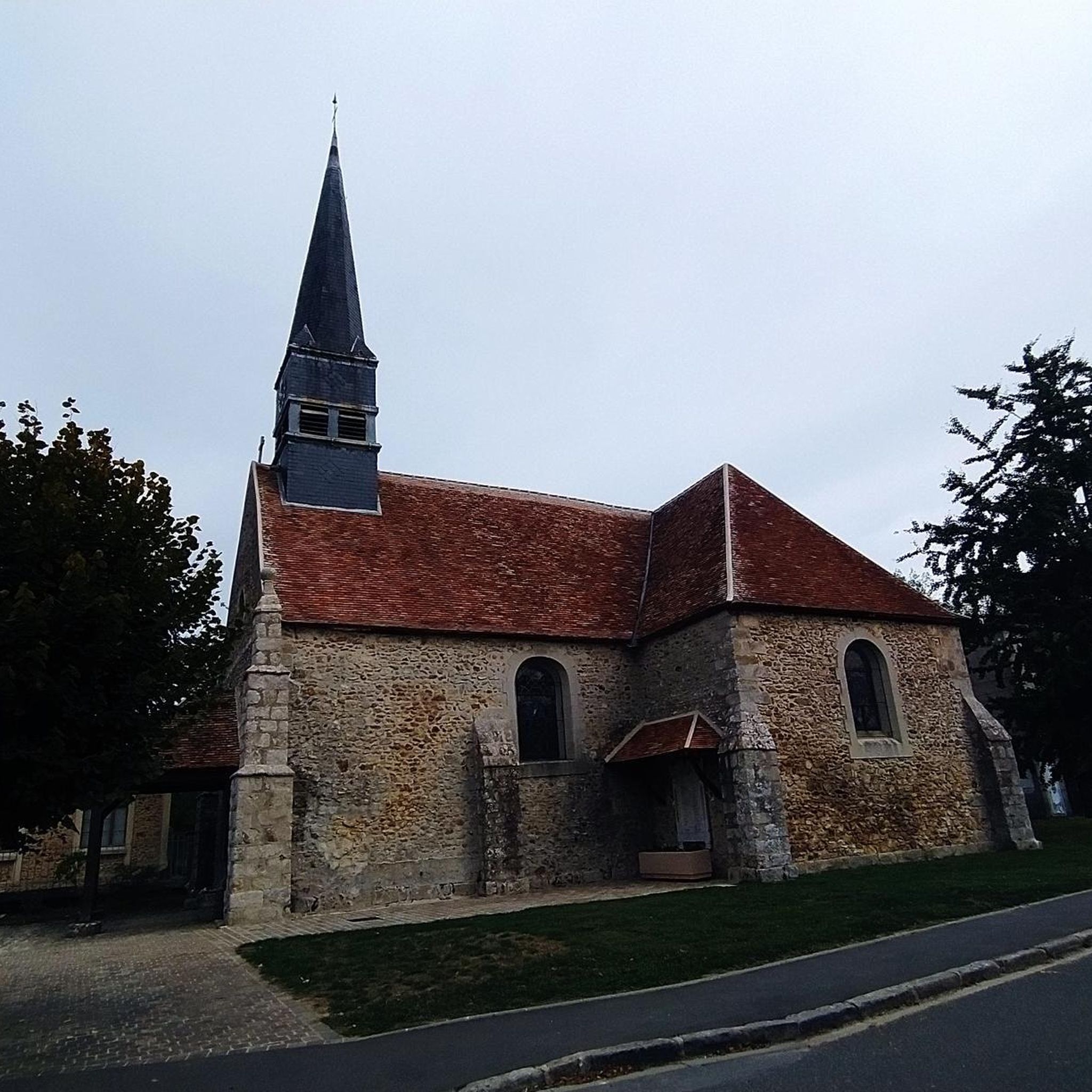
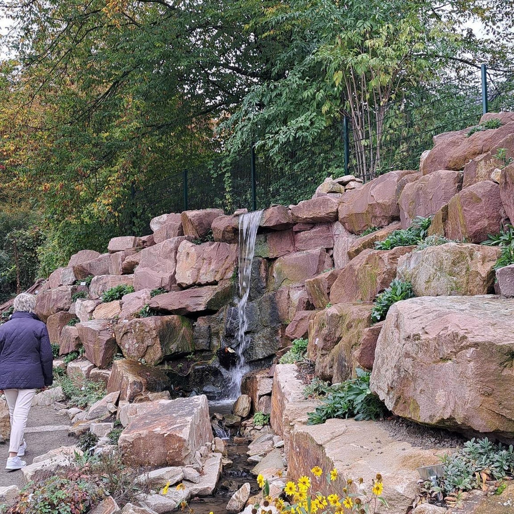
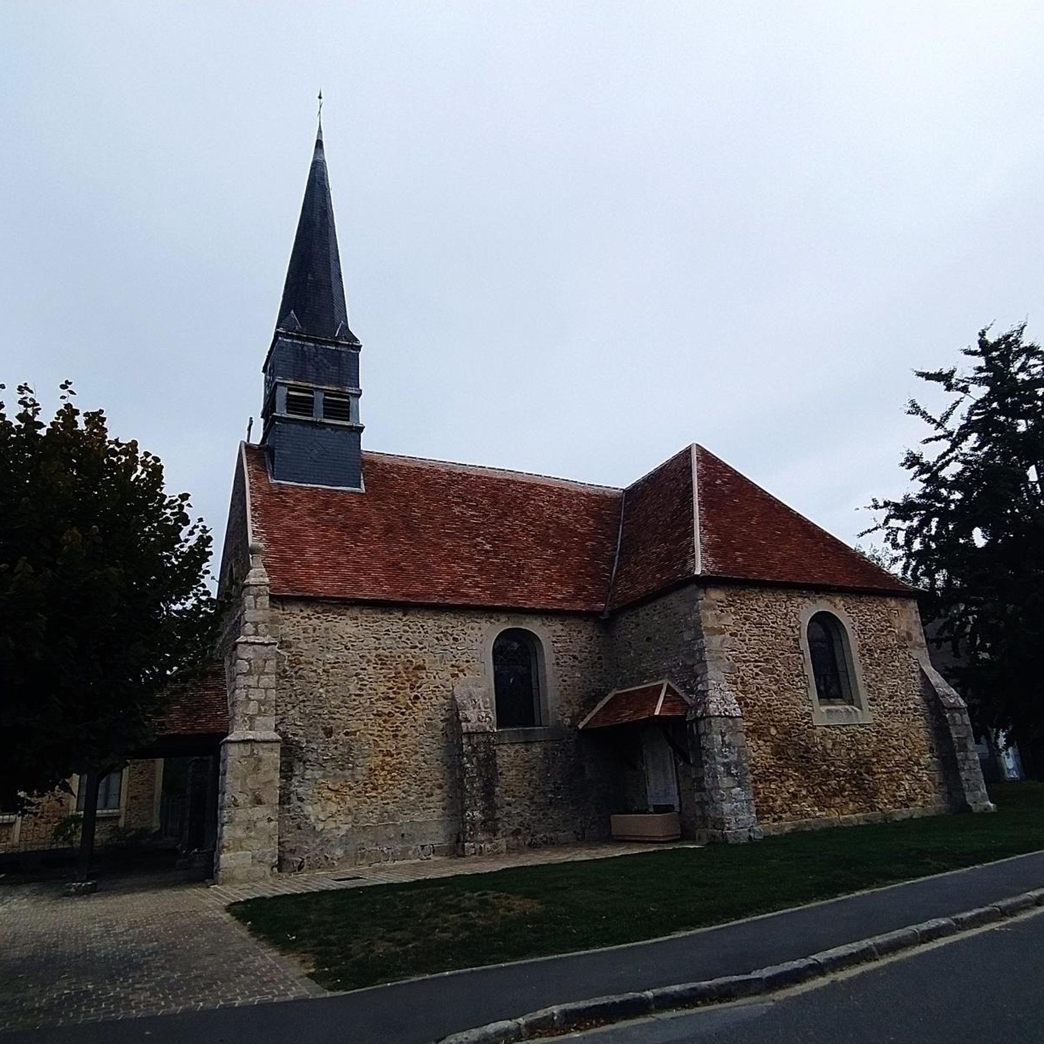


Tips from the Community

washhouse dating from 1850 and well maintained by the association of washerwomen known as the water hens.
0
0
Cavanna's house is no longer visible due to protections added to the gate. Too bad
0
0

19th century estate.
2
0


Wooded path 18 km long, very pleasant when it is windy or sunny ... it crosses the municipalities of Servon, Brie-Comte-Robert, Grisy-Suisnes, Coubert, Soignolles-en-Brie, Solers and Yèbles.
1
0

Little parc with a bench to pause a bit.
0
0
Beware of pedestrians as it's a shared road
1
0
Frequently Asked Questions
How many hiking trails are available around Courquetaine?
There are over 90 hiking trails around Courquetaine, offering a wide range of options for different preferences and fitness levels. These include 33 easy routes, 56 moderate routes, and a few more challenging options.
What kind of terrain can I expect when hiking around Courquetaine?
The terrain around Courquetaine is generally gentle, characterized by rural landscapes, agricultural fields, and scattered woodlands. Elevation changes are minimal, making most routes accessible for various fitness levels. You'll often find trails connecting small villages and historical points of interest.
Are there easy hiking trails suitable for beginners or families in Courquetaine?
Yes, Courquetaine offers many easy trails perfect for beginners or families. For instance, the Bois du Fort loop from Presles-en-Brie is a gentle 1.8-mile (3 km) walk through woodlands, typically completed in about 45 minutes.
Can I find circular hiking routes in Courquetaine?
Many of the hiking routes around Courquetaine are circular, allowing you to start and end at the same point. An example is the Le lavoir des lavandieres – Beautiful property loop from Courquetaine, which is a moderate 10.5-mile (16.9 km) path through rural landscapes and past historical features.
Are there any longer or more challenging hiking routes in the area?
While the region is known for its gentle terrain, there are moderate options for those seeking a longer walk. The Cavanna writer's house – Le lavoir des lavandieres loop from Ozouer-le-Voulgis is a moderate 6.7-mile (10.8 km) route that offers a good workout through varied scenery.
What do other hikers enjoy most about hiking in Courquetaine?
The komoot community highly rates the trails around Courquetaine, with an average score of 4.4 stars from over 150 reviews. Hikers often praise the peaceful rural landscapes, the well-maintained paths, and the opportunity to discover charming villages and historical elements like the lavoirs.
Are there any interesting landmarks or attractions to see along the hiking trails?
Yes, the trails often pass by interesting historical and natural landmarks. You might encounter the Roman bridge, or explore sections of The Chemin des Roses – Former Railway Line. There are also several castles nearby, such as Château du Vivier and Château de Monceau.
Is Courquetaine a dog-friendly hiking destination?
Given the rural and woodland nature of the trails around Courquetaine, many routes are suitable for hiking with dogs. It's always recommended to keep dogs on a leash, especially when passing through agricultural areas or near livestock, and to respect local regulations.
When is the best time of year to go hiking in Courquetaine?
Spring and autumn are generally the best times for hiking in Courquetaine, offering pleasant temperatures and beautiful scenery. Spring brings blooming wildflowers, while autumn showcases vibrant foliage. Summer can also be enjoyable, especially in the mornings or late afternoons, though it can get warm.
Is winter hiking possible in Courquetaine?
Winter hiking is possible in Courquetaine, as the region typically experiences mild winters with less extreme snowfall. The gentle terrain means trails are usually accessible. Be sure to dress in layers and check weather conditions before heading out, as paths can be muddy or slippery after rain or frost.
Are there options for public transport to reach hiking trails in Courquetaine?
While Courquetaine is a rural area, some local bus services connect it to larger towns in the Île-de-France region, which may have train stations. However, direct public transport access to specific trailheads might be limited. It's advisable to check local bus schedules in advance if relying on public transport.
Where can I find parking for hiking near Courquetaine?
As a rural area, parking is generally available in or near the villages where many trails begin. Look for designated parking areas in village centers or near local amenities. Always ensure you park responsibly and do not obstruct private access or agricultural operations.
Most popular routes around Courquetaine
Most popular attractions around Courquetaine

Get inspired with the komoot mobile app


Explore more
Browse the best Hikes in other regions.
