The best walks and hikes around Bischdorf
4.6
(297)
1,571
hikers
127
hikes
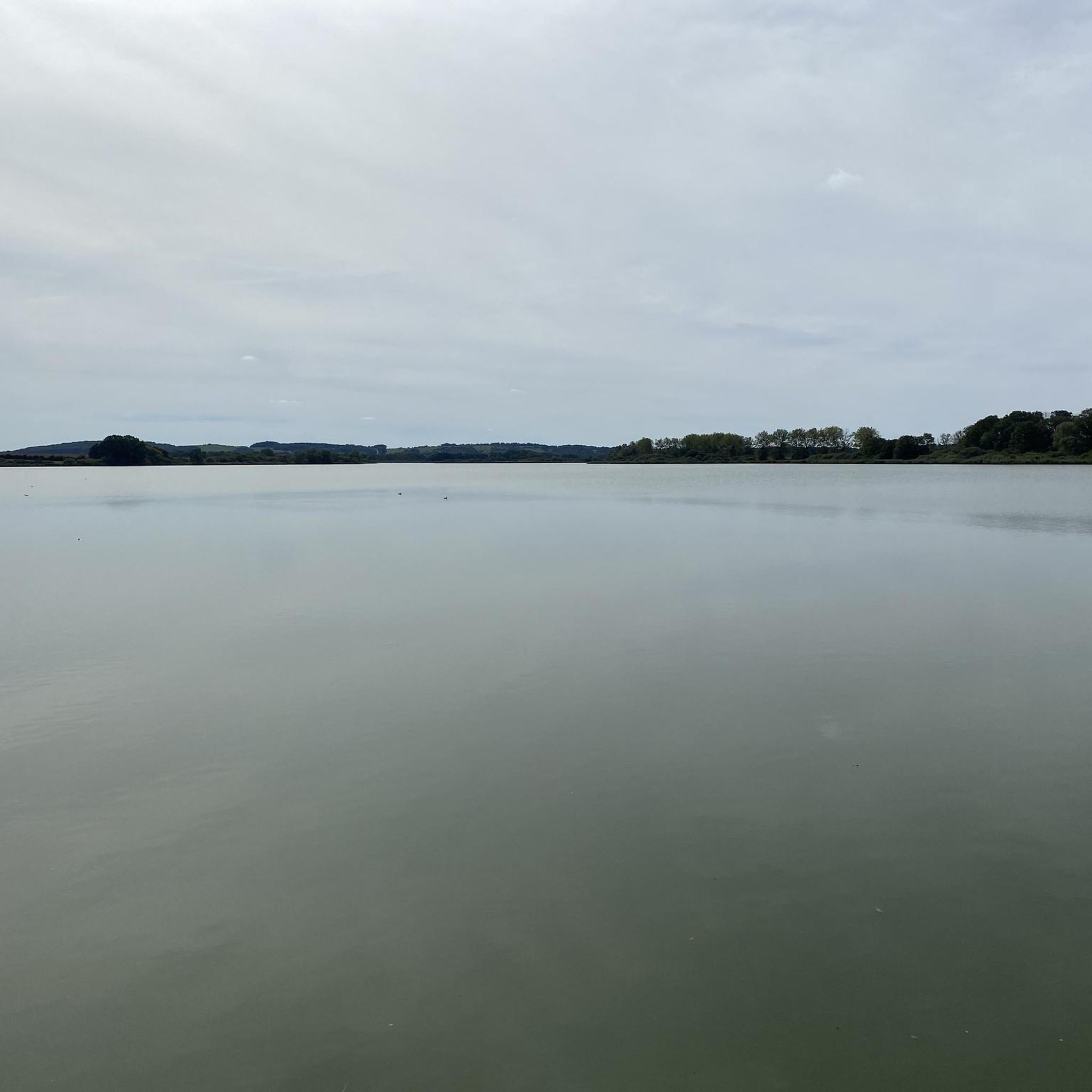
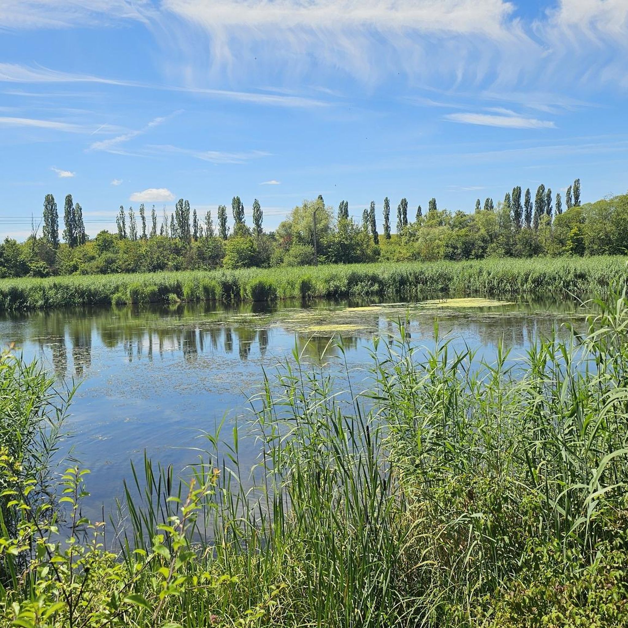
Hiking around Bischdorf offers a variety of trails through a landscape characterized by forests, open fields, and water bodies. The region features gently rolling terrain with some moderate elevation changes, providing diverse hiking experiences. Many popular hiking routes in Bischdorf explore areas near ponds and villages, with paths suitable for different fitness levels. The terrain includes both established paths and natural surfaces, reflecting the area's blend of rural and natural environments.
Best hiking trails around Bischdorf
- The most popular hiking…
Last updated: October 9, 2026
4.3
(26)
170
hikers
6.53km
01:40
20m
20m
Easy hike. Great for any fitness level. Easily-accessible paths. Suitable for all skill levels.
4.3
(25)
168
hikers
6.64km
01:42
20m
20m
Easy hike. Great for any fitness level. Easily-accessible paths. Suitable for all skill levels.

4.6
(8)
53
hikers
8.73km
02:14
40m
40m
Moderate hike. Good fitness required. Easily-accessible paths. Suitable for all skill levels.
5.0
(2)
18
hikers
8.33km
02:15
110m
110m
Moderate hike. Good fitness required. Easily-accessible paths. Suitable for all skill levels.
4.0
(2)
12
hikers
20.0km
05:21
230m
230m
Hard hike. Very good fitness required. Easily-accessible paths. Suitable for all skill levels.
Get access to more routes and recommendations from other explorers.
Already have an account?
Our route recommendations are based on thousands of hikes, rides, and runs completed by other people on komoot.
Start today with a free account
Your next adventure awaits.


Tips from the Community

This unique extraction tower is one of the few remaining remnants of the Folschviller coal mine shaft. Its characteristic hammer shape is an alternative to the traditionally constructed model. The only example of this type in Moselle, the structure was granted protective protection in 1992. The shaft is 58 m high.
0
0


The modern low-rise building is located outside the center. You can reach the city by bus.
1
0
The modern low-rise train station is located outside the center. You can get to the city center by bus.
1
0
The modern low-rise train station is located outside the center. You can get to the city center by public bus.
1
0

Frequently Asked Questions
What kind of terrain can I expect on hiking trails around Bischdorf?
Hiking around Bischdorf offers a varied landscape, primarily characterized by forests, open fields, and numerous water bodies. The terrain is generally gently rolling with some moderate elevation changes, providing a mix of established paths and natural surfaces. You'll find trails suitable for different fitness levels, often exploring areas near ponds and through rural environments.
Are there hiking trails suitable for families with children?
Yes, Bischdorf offers several easy trails perfect for families. For instance, the Mutche Pond loop from Harprich is an easy 4.1-mile (6.5 km) trail that takes about 1 hour 40 minutes to complete, offering a scenic and manageable loop around a pond.
Can I bring my dog on the hiking trails in Bischdorf?
Most hiking trails in the Bischdorf area are dog-friendly, allowing you to enjoy the natural landscapes with your canine companion. It's always a good idea to keep your dog on a leash, especially in areas with wildlife or near agricultural land, and to check local regulations for specific routes.
What natural features or landmarks can I see while hiking near Bischdorf?
The region around Bischdorf, being close to the German-French border, offers a blend of natural beauty and historical sites. While hiking, you might encounter picturesque lake landscapes, forests, and open fields. Notable nearby attractions include the historic Saint-Nabor Abbey Church of Saint-Avold and sections of the Maginot Line, offering a glimpse into the area's past.
Are there any circular hiking routes available?
Yes, many trails around Bischdorf are designed as circular routes, allowing you to start and end at the same point. A popular moderate option is the Hiking loop from Harprich, which covers 5.4 miles (8.7 km) through varied woodlands and open areas.
How many hiking trails are there in the Bischdorf area?
There are over 100 hiking trails available around Bischdorf, catering to various skill levels and preferences. This includes 32 easy routes, 65 moderate routes, and 8 more challenging options, ensuring a diverse range of experiences for every hiker.
What do other hikers enjoy most about the trails in Bischdorf?
The hiking routes in Bischdorf are highly rated by the komoot community, with an average score of 4.5 stars from nearly 200 reviews. Hikers often praise the mix of forest paths, open field trails, and routes near water features, appreciating the diverse scenery and options for different ability levels.
Are there any longer, more challenging hikes for experienced trekkers?
For experienced hikers seeking a longer challenge, the Folschviller village church – Pontpierre Chapel loop from Folschviller is a difficult 12.3-mile (19.8 km) trail. This route leads through villages and natural landscapes, typically taking about 5 hours 20 minutes to complete.
What is the best time of year to go hiking in Bischdorf?
The region's lake landscapes and forests are particularly beautiful in spring, making it an excellent time for scenic walks. However, the trails are generally accessible throughout the warmer months, offering pleasant hiking experiences from spring through autumn.
Are there any trails that offer good viewpoints?
While the region is known for its 'hiking without mountains' experience, focusing on flat to gently rolling terrain, many trails offer scenic views across open fields and picturesque lake landscapes. The 'Border View Trail' mentioned in the regional context, for example, provides scenic views along the German-French border.
What is the typical elevation gain on hikes around Bischdorf?
The hiking trails around Bischdorf feature gently rolling terrain with some moderate elevation changes. For example, the Saint-Avold SNCF station – Fitness Trail loop from Altviller, a moderate 8.8 km route, involves an elevation gain of approximately 124 meters, providing a good workout without extreme ascents.
Are there any trails that pass by historical sites?
Yes, some routes in the area offer a chance to explore historical points of interest. For instance, the Fitness Trail – Saint-Avold station loop from Folschviller, a moderate 17.2 km hike, brings you near the Saint-Avold SNCF station, which can be a starting point for exploring the town's history.
Most popular routes around Bischdorf
Most popular attractions around Bischdorf

Get inspired with the komoot mobile app


Explore more
Browse the best Hikes in other regions.
