The best running trails around Chérisey
4.6
(78)
3,576
runners
111
runs
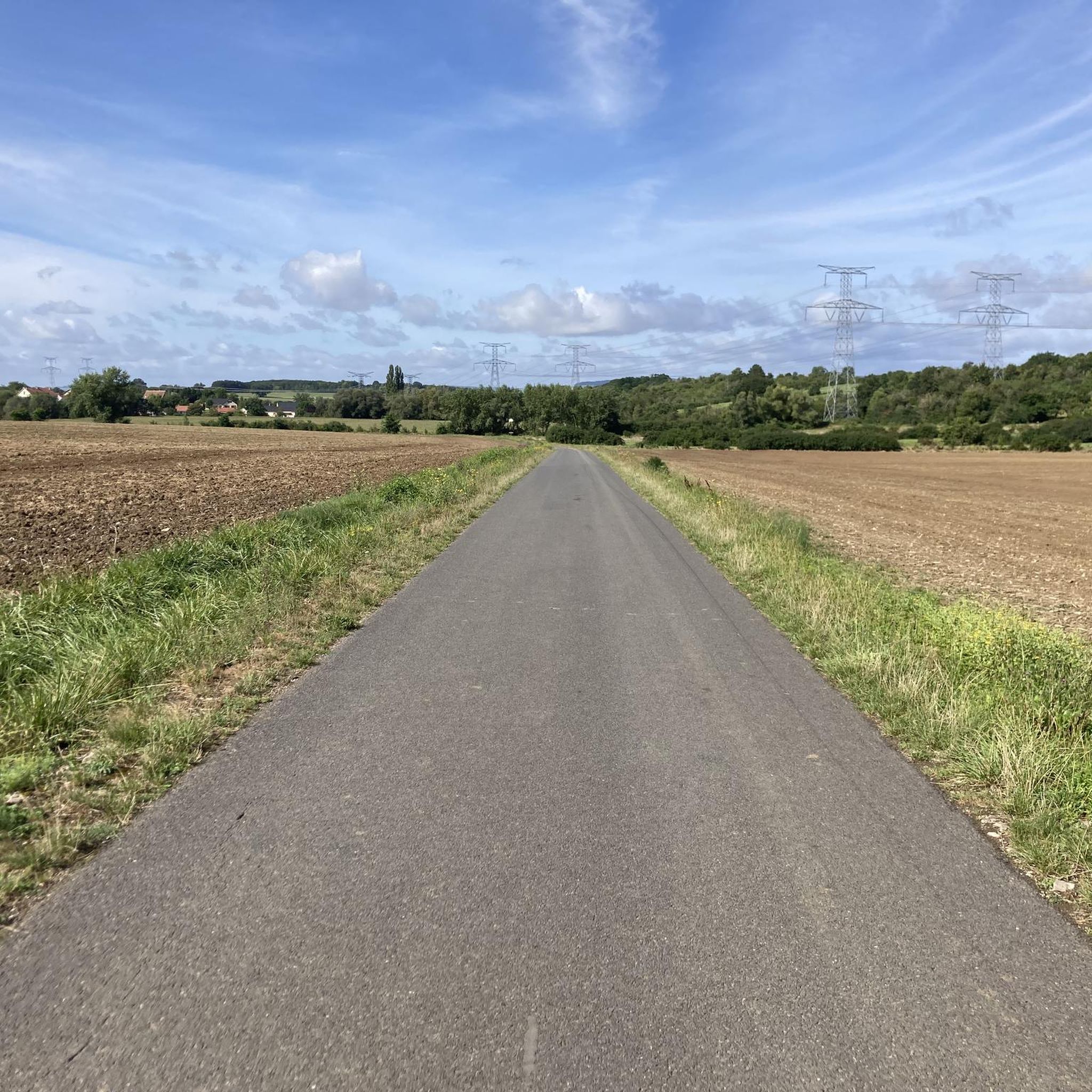
Jogging around Chérisey offers a variety of routes through the Moselle department, an area known for its natural surroundings. The terrain often features gentle ascents and descents, characteristic of the region's rolling landscapes. Many running routes in Chérisey are loops, providing diverse scenery and a comprehensive workout. These trails are suitable for exploring the local environment at a steady pace.
Best jogging routes around Chérisey
- The most popular jogging route is Running loop from Pournoy-la-Grasse, a 6.9 miles (11.2…
Last updated: June 29, 2026
26
runners
13.2km
01:23
120m
120m
Moderate run. Good fitness required. Mostly paved surfaces. Suitable for all skill levels.
5.0
(2)
29
runners
8.60km
00:54
80m
80m
Moderate run. Good fitness required. Mostly paved surfaces. Suitable for all skill levels.

Sign up for free
11
runners
27.2km
02:50
170m
170m
Hard run. Very good fitness required. Mostly paved surfaces. Suitable for all skill levels.
9
runners
10.8km
01:08
110m
110m
Moderate run. Good fitness required. Mostly paved surfaces. Suitable for all skill levels.
9
runners
19.8km
02:04
160m
160m
Hard run. Very good fitness required. Mostly paved surfaces. Suitable for all skill levels.
Get access to more routes and recommendations from other explorers.
Sign up for free
Already have an account?
Our route recommendations are based on thousands of hikes, rides, and runs completed by other people on komoot.
Start today with a free account
Your next adventure awaits.
Login or Signup


Tips from the Community

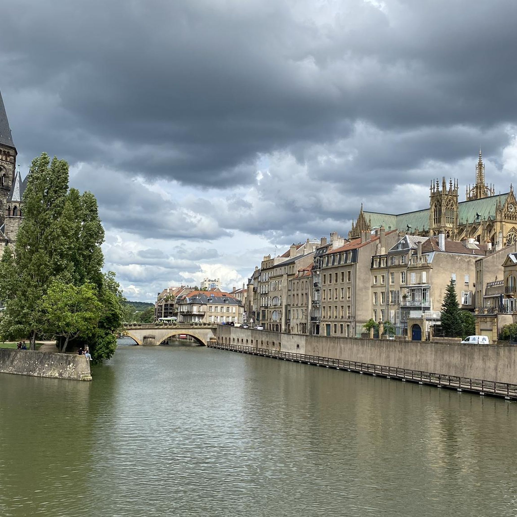
pleasant cycle path that runs along the river seille
0
0
Frequently Asked Questions
What kind of terrain can I expect on running routes around Chérisey?
The running routes in Chérisey primarily feature rolling landscapes with gentle ascents and descents. This terrain is characteristic of the Moselle department, offering a varied but generally manageable experience for runners.
How many running routes are available in the Chérisey area?
There are over 90 running routes available around Chérisey, offering a wide range of options for different fitness levels and preferences.
Are there any easy running paths suitable for beginners in Chérisey?
Yes, Chérisey offers several easier running paths. There are 8 routes classified as easy, providing a good starting point for beginners or those looking for a less strenuous run. For example, the route Mountain biking in Sud Messin – Verny loop from Pournoy-la-Grasse is a moderate 3.1 miles (5.0 km) path with about 150 feet (45 meters) of climbing, which can be a good option.
What are the typical distances and durations for jogging routes in Chérisey?
Running routes around Chérisey vary in distance and duration. For instance, the Running loop from Pournoy-la-Grasse is a longer option at 6.9 miles (11.2 km), taking about 1 hour 12 minutes. Shorter routes like the Mountain biking in Sud Messin – Verny loop from Pournoy-la-Grasse are around 3.1 miles (5.0 km) and can be completed in less time.
Are there any circular running routes in Chérisey?
Yes, jogging around Chérisey is largely defined by its loop routes. Many of the available paths are circular, providing diverse scenery and a comprehensive workout without needing to retrace your steps. Examples include the Running loop from Pournoy-la-Grasse and the Running loop from Liéhon.
What do other runners say about the trails in Chérisey?
The running routes in Chérisey are highly rated by the komoot community, with an average score of 4.7 stars from over 70 reviews. More than 2600 runners have used komoot to explore Chérisey's varied terrain, often praising the rural landscapes and the variety of elevations.
Are there any notable landmarks or attractions to see while running near Chérisey?
While Chérisey itself is a smaller commune, the broader area offers some points of interest. You might find attractions like Mercy Castle or Fort Queuleu in the vicinity. However, specific routes directly passing these may vary.
Are the running routes in Chérisey suitable for families?
Many of the routes in Chérisey offer varied elevations and rural landscapes, with options available for different ability levels. Families might find the easier or moderate routes, such as the Running loop from Goin (6.9 km, moderate), suitable for a family outing, depending on the children's experience and stamina.
Can I bring my dog on the running trails around Chérisey?
While specific regulations for each trail are not detailed, generally, rural paths and natural surroundings in areas like Chérisey are often dog-friendly. It's always recommended to keep your dog on a leash and ensure they are well-behaved, especially when encountering wildlife or other trail users.
What is the most challenging running route in the Chérisey area?
One of the more challenging running routes is the Running loop from Pournoy-la-Grasse. This difficult 6.9 miles (11.2 km) trail features over 340 feet (100 meters) of elevation gain, making it a good option for experienced runners seeking a demanding workout.
Are there longer running options for endurance training near Chérisey?
Yes, for longer endurance training, you can consider routes like Le Petit Étang – Bois de l'Hôpital loop from Pournoy-la-Grasse. This difficult route spans 12.2 miles (19.6 km) with over 150 meters of elevation gain, offering a significant challenge.
Most popular attractions around Chérisey

Get inspired with the komoot mobile app


Explore more
Browse the best Running Trails & Routes in other regions.
