The best walks and hikes around Saint-Vallier-De-Thiey
4.5
(765)
3,678
hikers
37
hikes
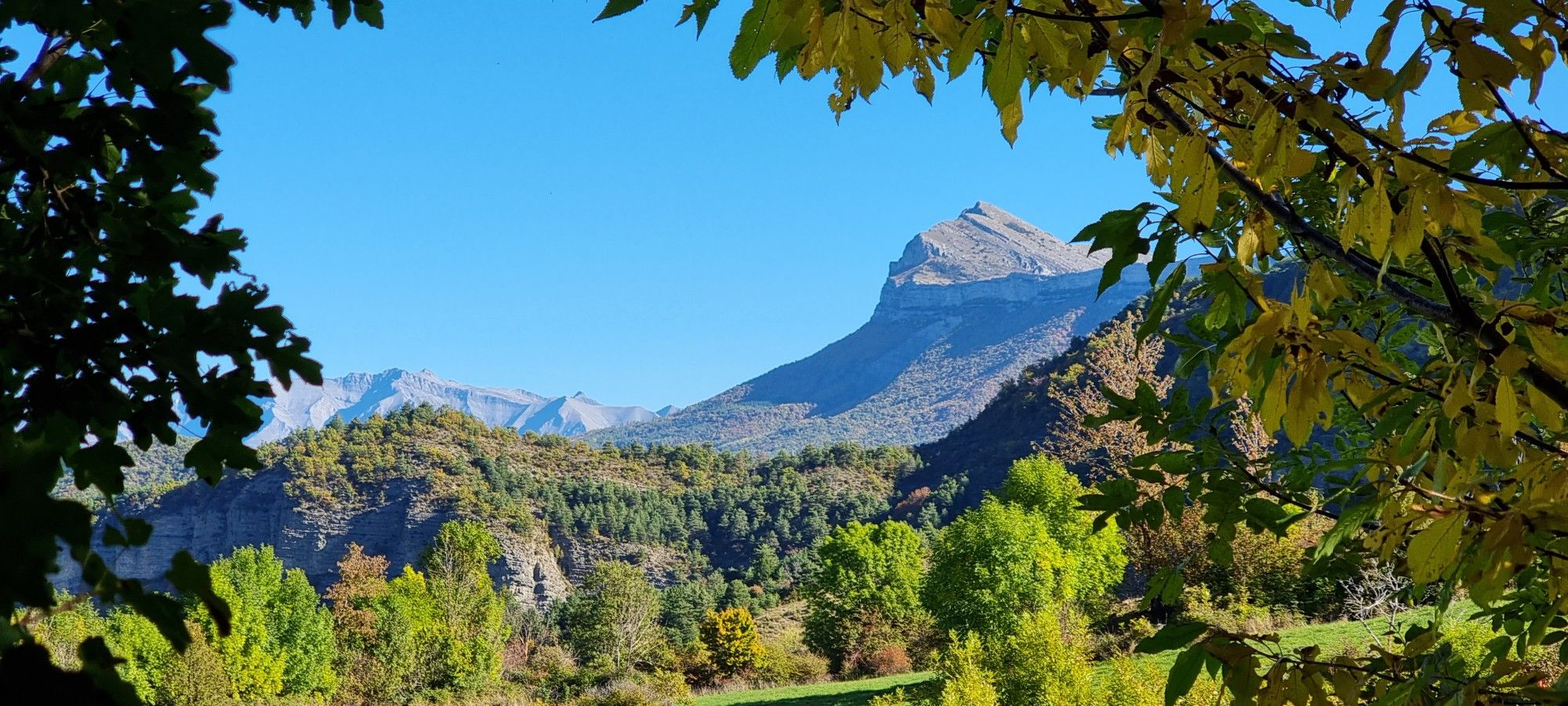
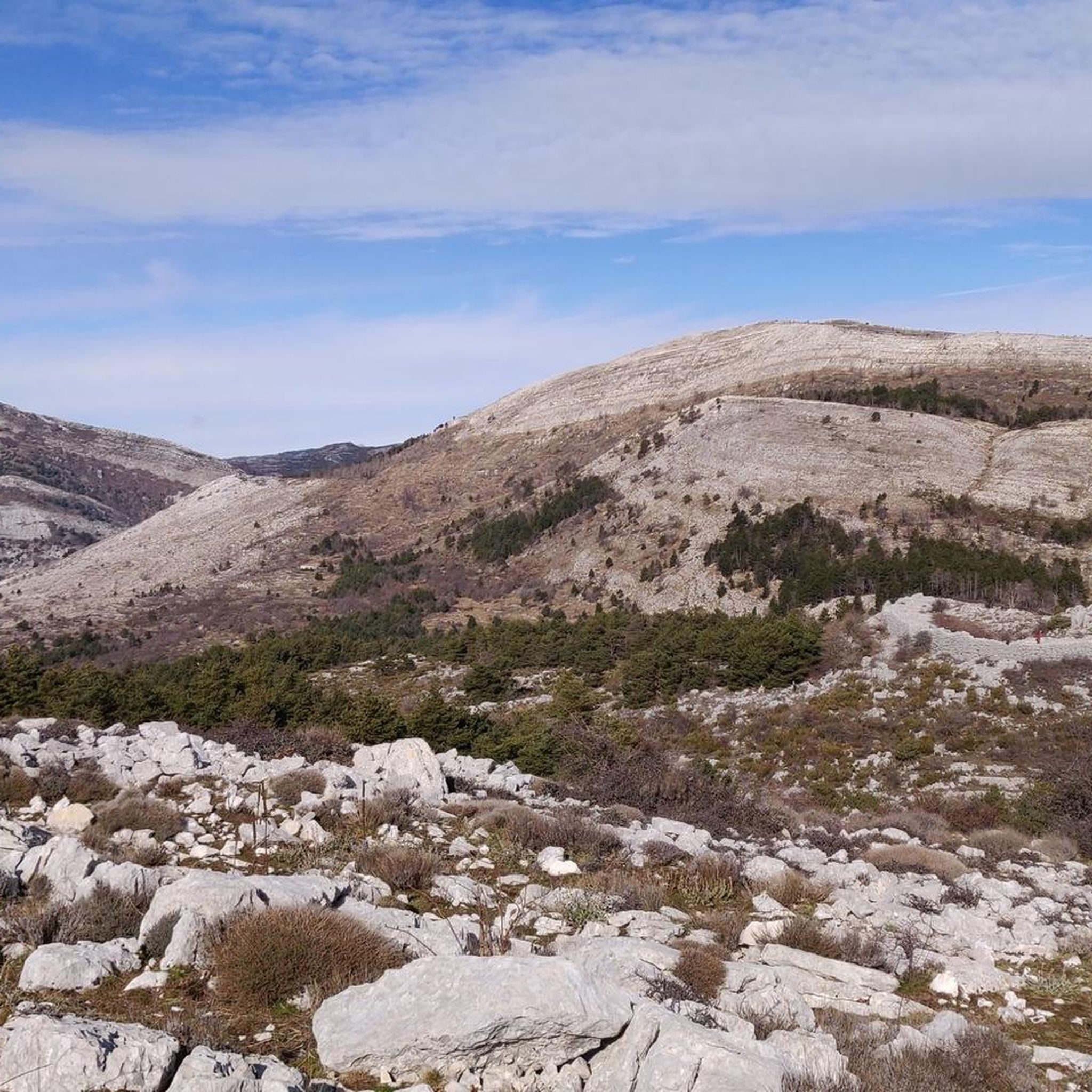
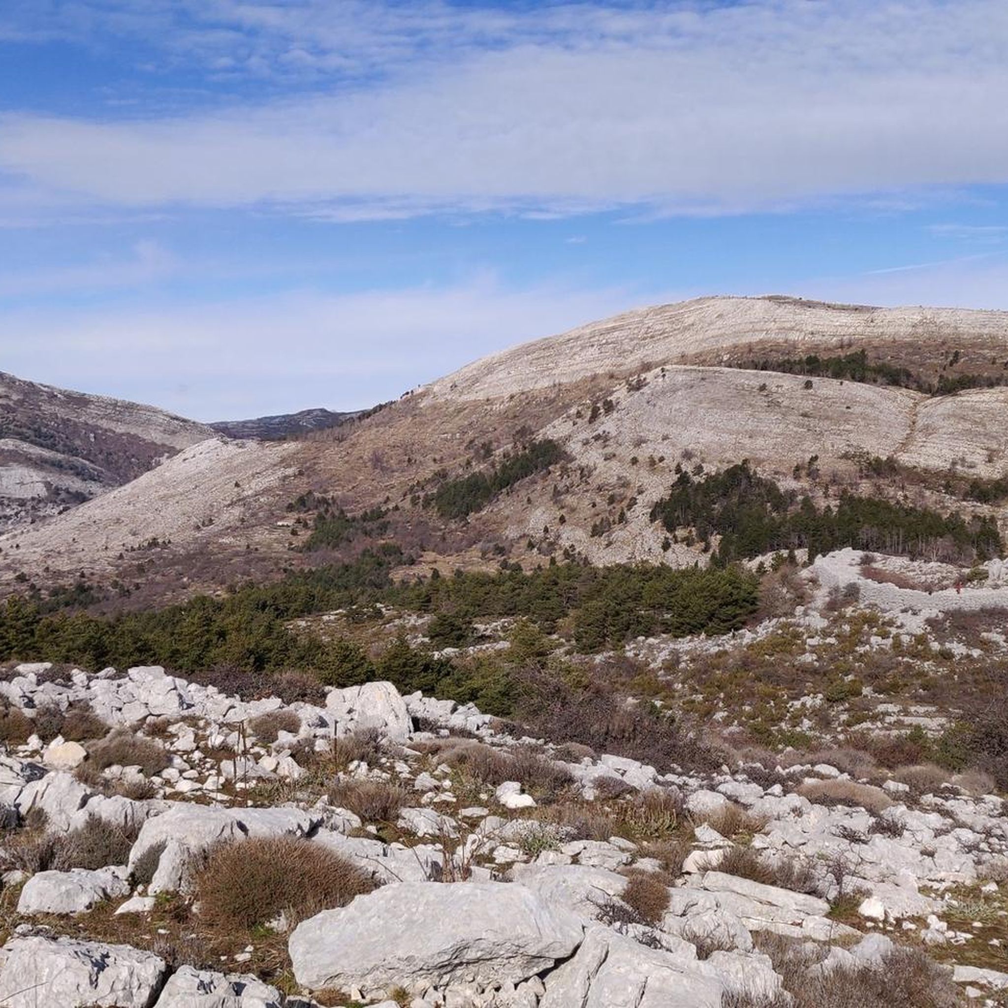
Hiking around Saint-Vallier-De-Thiey offers diverse terrain in a pre-Alpine setting within the Alpes-Maritimes department. The region features prominent mountains like Montagne de Thiey, extensive plateaus such as Malle and Calern, and the Siagne River with its gorges. Karstic formations, including numerous caves and sinkholes, characterize the landscape, providing varied natural features for outdoor activities.
Best hiking trails around Saint-Vallier-De-Thiey
- The most popular hiking route is Montagne de Thiey Loop, a 6.6 miles (10.7 km) trail that takes 3 hours…
Last updated: October 10, 2026
4.7
(31)
162
hikers
10.7km
03:45
610m
610m
Moderate hike. Good fitness required. Easily-accessible paths. Suitable for all skill levels.
4.6
(8)
77
hikers
15.9km
05:09
700m
700m
Hard hike. Very good fitness required. Easily-accessible paths. Suitable for all skill levels.

4.8
(12)
34
hikers
5.63km
01:48
230m
230m
Moderate hike. Great for any fitness level. Mostly accessible paths. Sure-footedness required.
4.6
(9)
47
hikers
5.20km
02:00
220m
210m
Moderate hike. Great for any fitness level. Mostly accessible paths. Sure-footedness required.
4.1
(7)
50
hikers
5.17km
01:31
140m
140m
Easy hike. Great for any fitness level. Easily-accessible paths. Suitable for all skill levels.
Get access to more routes and recommendations from other explorers.
Already have an account?
Our route recommendations are based on thousands of hikes, rides, and runs completed by other people on komoot.
Start today with a free account
Your next adventure awaits.
Other adventures around Saint-Vallier-De-Thiey

Tips from the Community

A very beautiful place to discover 😊
0
0

It's a fairly easy pass with beautiful scenery that opens the door to superb discoveries.
0
0

In addition to seeing peaceful wild goats there, as was the case when I passed by.
0
0

very pretty spot, to take a break from hiking if you pass by.
1
0


At 1553m, Mount Thiey is a place of calm and silence. Its plateau at the top gives the impression of being in a field, but if one looks south, one is greeted by a breathtaking view of the Mediterranean coastline and the sea.
4
1
Frequently Asked Questions
What types of landscapes and natural features can I expect to see while hiking in Saint-Vallier-De-Thiey?
Saint-Vallier-De-Thiey offers a diverse pre-Alpine landscape. You'll encounter prominent mountains like Montagne de Thiey, vast plateaus such as the Malle and Calern plateaus known for their unique botanical diversity and karstic features, and the picturesque Siagne River with its gorges. The region is rich in karstic formations, including numerous caves and sinkholes, providing varied natural scenery.
What are the different difficulty levels for hiking trails in Saint-Vallier-De-Thiey?
The hiking trails around Saint-Vallier-De-Thiey cater to various skill levels. There are 6 easy routes, 27 moderate routes, and 6 difficult routes available. This variety ensures options for leisurely strolls, moderate day hikes, and challenging ascents through the pre-Alps.
Are there any notable historical or cultural sites along the hiking trails?
Yes, the region is rich in history. You can find ancient prehistoric camps like the Castellaras de la Malle, which features well-preserved ramparts and megalithic structures. Some paths also follow sections of the historic Napoleon Road. You might also encounter ancient chapels, ruins of medieval keeps, and the 'Pierre Druidique' (Druid Stone).
What kind of elevation gain can I expect on hikes in Saint-Vallier-De-Thiey?
Elevation gains vary significantly depending on the trail. For example, the Montagne de Thiey Loop, a moderate route, involves an elevation gain of about 615 meters. More challenging routes, such as the Mount Thiey – View of Montagne de Thiey loop from Saint-Vallier-de-Thiey, can have over 1000 meters of elevation gain, offering substantial climbs and rewarding views.
Are there any family-friendly hiking options in Saint-Vallier-De-Thiey?
Yes, Saint-Vallier-De-Thiey offers trails suitable for families. While specific family-friendly routes are not detailed in the provided data, the presence of 6 easy routes suggests options for shorter, less strenuous walks. The Malle Plateau, with its agricultural landscape and historical sites, could offer pleasant circular hikes for families.
What is the best time of year to go hiking in Saint-Vallier-De-Thiey?
The pre-Alpine setting of Saint-Vallier-De-Thiey makes it suitable for hiking across multiple seasons. Spring and autumn generally offer pleasant temperatures and vibrant scenery. Summer can be warm, but trails along the Siagne River or at higher elevations provide cooler options. Winter hiking is possible, especially on lower trails, but higher mountain routes may require appropriate gear for snow and ice.
Are there any hikes with opportunities to see waterfalls or natural bridges?
Yes, the region features several natural attractions. The Natural Bridge of Ponadieu is a striking natural arch formed by limestone deposits and is a popular hiking destination. You can explore it via routes like the Ponadieu Arch – Chemin Fleuri de l'Aqueduc loop from Baou de Douort. Additionally, nearby attractions include the Ray Waterfall and Courmes Waterfall.
What do other hikers enjoy the most about hiking in Saint-Vallier-De-Thiey?
The hiking routes in Saint-Vallier-De-Thiey are highly rated by the komoot community, with an average score of 4.6 stars from over 600 reviews. Hikers often praise the diverse terrain, from pre-Alpine mountains to karstic plateaus and river valleys, as well as the expansive panoramic views that encompass the Côte d'Azur and Mercantour peaks.
Are there any circular hiking routes available?
Yes, many of the trails in Saint-Vallier-De-Thiey are circular routes. Examples include the popular Montagne de Thiey Loop and the La Colle (1234 m) – The trunk loop from Col du Ferrier. The Malle Plateau also offers several circular hikes, allowing you to start and end at the same point.
Can I access hiking trails in Saint-Vallier-De-Thiey using public transport?
While Saint-Vallier-De-Thiey is a village, public transport options to specific trailheads might be limited. It's advisable to check local bus schedules or consider driving to access the starting points of many hikes. For more general information about the area, you can visit the Pays de Grasse Tourisme website.
Are there any specific viewpoints offering panoramic vistas?
Absolutely. The summit of Montagne de Thiey (1553 meters) offers breathtaking panoramic views of the Côte d'Azur, the Mercantour peaks, and the surrounding pre-Alps. The Calern plateau also provides remarkable views of the coastline and the Caussols Plateau. Many trails traversing the Grasse Pre-Alps offer 360-degree vistas.
What unique geological features can be explored in the area?
Saint-Vallier-De-Thiey is renowned for its karstic relief. The Calern plateau, for instance, features sinkholes and caves, revealing an agricultural heritage of cleared sinkholes and dry stone enclosures. The region has over 50 known caves and cavities, with the Tuves Bridge and Cave being a notable example.
Most popular routes around Saint-Vallier-De-Thiey
Most popular attractions around Saint-Vallier-De-Thiey

Get inspired with the komoot mobile app


Explore more
Browse the best Hikes in other regions.
