The best walks and hikes around Fos
4.6
(368)
4,134
hikers
128
hikes
Hiking around Fos offers a diverse landscape characterized by river valleys, rolling hills, and mountainous terrain, typical of the Pyrenean foothills. The region features paths along the Garonne River and trails that ascend to higher elevations, providing varied hiking experiences. This area is suitable for exploring natural environments with options ranging from riverside walks to more challenging ascents.
Best hiking trails around Fos
- The most popular hiking route is Cap dera Sèrra – San Juan de Torán loop from Canejan…
Last updated: July 4, 2026
4.7
(3)
27
hikers
11.3km
04:13
430m
420m
Moderate hike. Good fitness required. Mostly accessible paths. Sure-footedness required.
4.5
(2)
14
hikers
14.5km
04:19
410m
410m
Moderate hike. Good fitness required. Mostly accessible paths. Sure-footedness required.

Sign up for free
4.5
(2)
7
hikers
Easy hike. Great for any fitness level. Easily-accessible paths. Suitable for all skill levels.
8
hikers
18.1km
06:27
1,030m
1,020m
Hard hike. Very good fitness required. Easily-accessible paths. Suitable for all skill levels.
7
hikers
8.87km
02:39
290m
290m
Moderate hike. Good fitness required. Easily-accessible paths. Suitable for all skill levels.
Get access to more routes and recommendations from other explorers.
Sign up for free
Already have an account?
Our route recommendations are based on thousands of hikes, rides, and runs completed by other people on komoot.
Start today with a free account
Your next adventure awaits.
Login or Signup



Tips from the Community

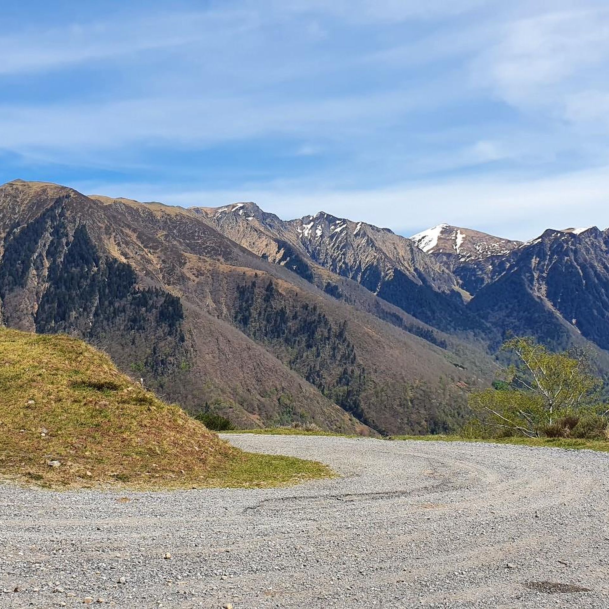
The road from Melles is in good condition up to the last houses, then it becomes much more sporty, with quite a few very rough and rocky sections. But the views are sumptuous!
0
0


At the Col d'Artigascou, beautiful view of the Aneto peak and the Pyrenees range. The road ends with a gravel track.
0
0

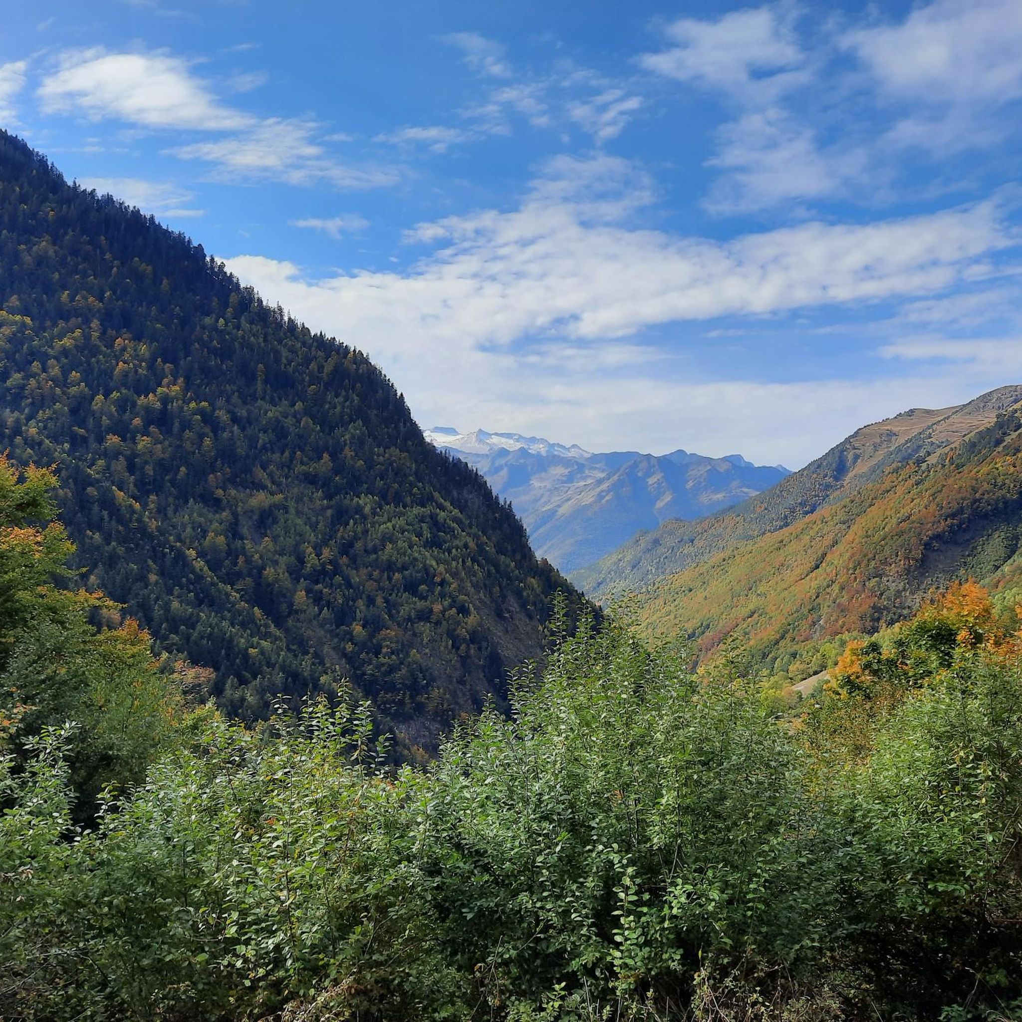
Near Canejan, you pedal along this narrow path on a ledge that allows you to see the entire valley, its green slopes and the surrounding peaks.
0
0

The place is nothing spectacular, but it is here that the reintroduction of the bear took place in 1996 and 1997 for Ziva, Mellba and Pyros.
0
0
Melles is a charming little mountain village. You can eat there, sleep there, have a drink or even visit its botanical garden.
0
0
The Fos footbridge spans the Garonne, which at this level is still a small bucolic watercourse. What makes the beauty of the place is not really due to the village of Fos itself but more to its protected natural environment. The village is surrounded by Natura 2000 sites and natural areas of ecological, faunal and floristic interest.
1
0

Hòs (official Fos) is a French municipality, located in the Haute-Garonne department and in the Occitanie region.
0
0
Frequently Asked Questions
How many hiking trails are there around Fos?
Fos offers a wide variety of hiking opportunities, with over 120 trails available. These routes cater to different skill levels, including easy strolls, moderate treks, and more challenging mountain paths.
Are there easy or family-friendly hiking trails in Fos?
Yes, Fos has approximately 30 easy hiking trails, many of which are suitable for families. These often follow the Garonne River, providing gentle elevation and pleasant riverside scenery. An example is the Gravier Footbridge – Fos on the banks of the Garonne loop from Fos, an easy 3.4 km route that takes about an hour.
What kind of landscapes can I expect to see while hiking in Fos?
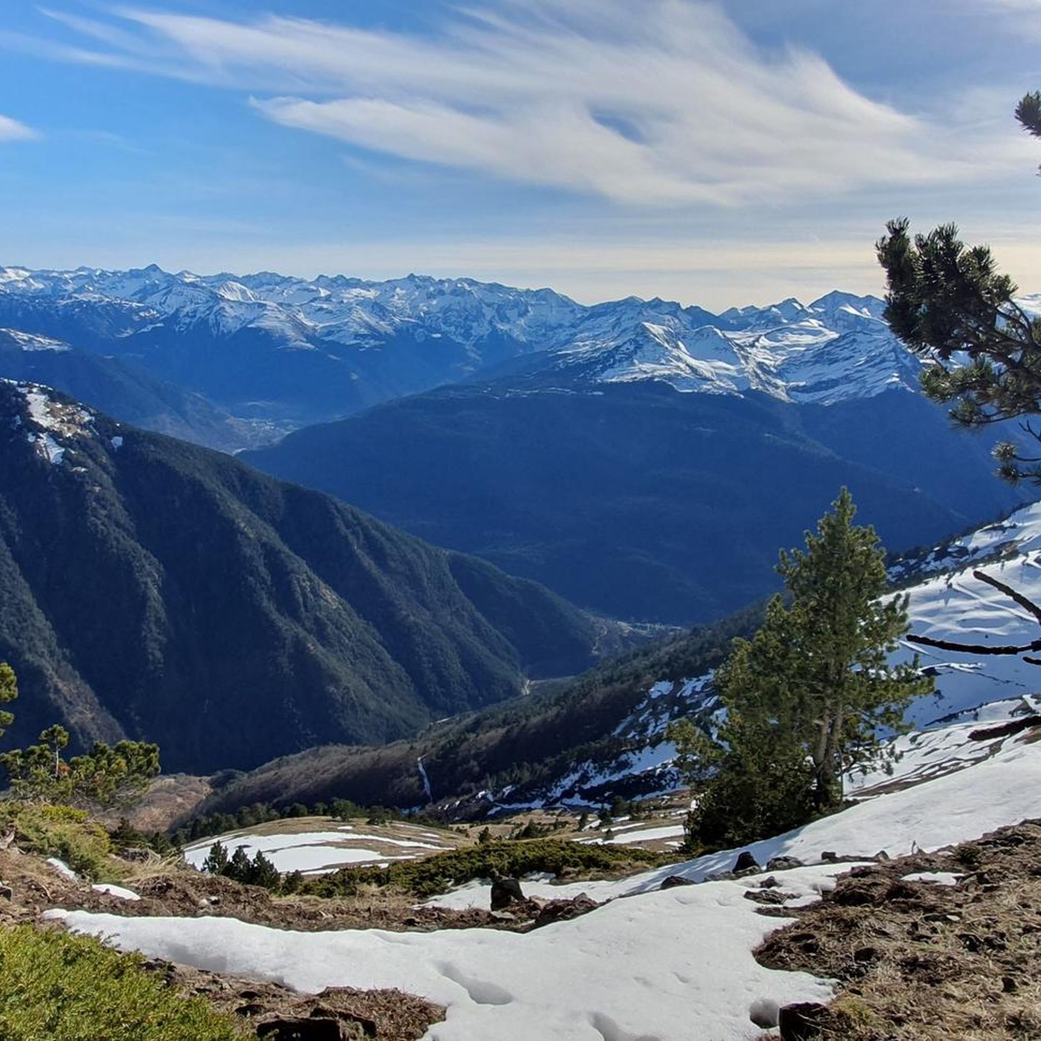
Hiking around Fos offers diverse landscapes, from paths along the Garonne River to rolling hills and mountainous terrain characteristic of the Pyrenean foothills. You'll find forested sections, open views, and opportunities to observe local wildlife, especially around the region's ponds and lakes.
Are there any challenging hikes for experienced trekkers in Fos?
Absolutely. For those seeking a challenge, Fos features over 30 difficult routes. These often involve significant elevation changes and longer distances, taking you into the more rugged mountainous areas. A demanding option is the Argut-Dessus Village – Col d'Artigascou loop from Argut-Dessous, which covers over 18 km with substantial ascent.
Are there any circular hiking routes in Fos?
Yes, many of the trails in Fos are circular, allowing you to start and end at the same point. A popular moderate circular route is the Cap dera Sèrra – San Juan de Torán loop from Canejan, which is about 11.3 km long and offers varied terrain and scenic views.
What are some natural attractions or points of interest I can see on hikes around Fos?
The region around Fos is rich in natural beauty. You can discover several lakes, such as Arres Pond and Estanh Long de Liat, which are great for birdwatching. There's also the impressive Saut Deth Pish Waterfall, offering a spectacular sight. Some trails also lead past traditional dry stone huts, known as 'Capitelle', providing a glimpse into historical agricultural practices.
What do other hikers say about the trails in Fos?
The hiking trails in Fos are highly regarded by the komoot community, with an average rating of 4.6 out of 5 stars from over 350 reviews. Hikers often praise the diverse terrain, the peaceful riverside paths, and the stunning views offered by the higher elevation routes.
Are there any trails that offer views of the Pyrenees?
Given Fos's location in the Pyrenean foothills, many trails, especially those ascending to higher elevations, provide impressive views of the surrounding mountainous terrain. These routes offer a true sense of the rugged beauty of the Pyrenees. For more information on the broader Pyrenean region, you can visit Wikipedia.
Can I find places to stay or rest along the hiking routes in Fos?
Yes, the area offers various huts and refuges that can serve as resting points or overnight stays on longer treks. Examples include Saunères Hut and Artigie stopover and group accommodation, providing shelter and a chance to recharge.
What is the best time of year to go hiking in Fos?
The diverse landscapes of Fos make it suitable for hiking across multiple seasons. Spring and autumn offer pleasant temperatures and vibrant scenery, ideal for exploring both riverside paths and higher trails. Summer is excellent for mountain routes, while some lower elevation paths can be enjoyed in winter, depending on conditions.
Are there any long-distance hiking options around Fos?
For those looking for longer excursions, Fos offers routes that can be combined or are inherently long. For instance, the Gravier Footbridge – Fos on the banks of the Garonne loop from Melles is a challenging 28.5 km trail, perfect for a full day's adventure or as part of a multi-day trek.
Most popular attractions around Fos

Get inspired with the komoot mobile app


Explore more
Browse the best Hikes in other regions.
