The best walks and hikes around Villuis
4.4
(16)
56
hikers
9
hikes
Hiking around Villuis, a commune in Seine-et-Marne, France, offers diverse natural landscapes. The region features varied terrain with altitudes ranging from 62 meters to 147 meters, situated on the southern foothills of the Bassée alluvial plain. This green setting alternates between woods, valleys, and rivers, providing a rich environment for exploration. The area's hydrological network, including streams and a branch of the Seine, contributes to its natural character.
Best hiking trails around Villuis
- The most popular hiking route is Villiers-sur-Seine…
Last updated: July 5, 2026
4.7
(3)
6
hikers
9.04km
02:17
10m
10m
Moderate hike. Good fitness required. Easily-accessible paths. Suitable for all skill levels.
4.0
(2)
8
hikers
Moderate hike. Good fitness required. Easily-accessible paths. Suitable for all skill levels.

Sign up for free
3.5
(2)
4
hikers
Moderate hike. Good fitness required. Easily-accessible paths. Suitable for all skill levels.
5
hikers
15.6km
03:59
50m
50m
Moderate hike. Good fitness required. Easily-accessible paths. Suitable for all skill levels.
3.5
(2)
5
hikers
Moderate hike. Good fitness required. Easily-accessible paths. Suitable for all skill levels.
Get access to more routes and recommendations from other explorers.
Sign up for free
Already have an account?
Our route recommendations are based on thousands of hikes, rides, and runs completed by other people on komoot.
Start today with a free account
Your next adventure awaits.
Login or Signup

Tips from the Community

Hello or good evening, This hike should not be attempted under any circumstances! The route is impassable: It crosses fields and private property. Furthermore, the beautiful old lock looks more like a brand-new lock. I say "looks like" because it's impossible to get close to it; everything is ugly fenced for a long distance. And as for the paths that are actually field edges, I didn't count the number of hunters' lodges. I felt like I was in an American horror movie set in the heart of Cajun territory; there was even a live pigeon in a trap to serve as bait for... What? A fox, maybe? I also didn't count the astounding number of cut trees and debris on the verges!
0
0

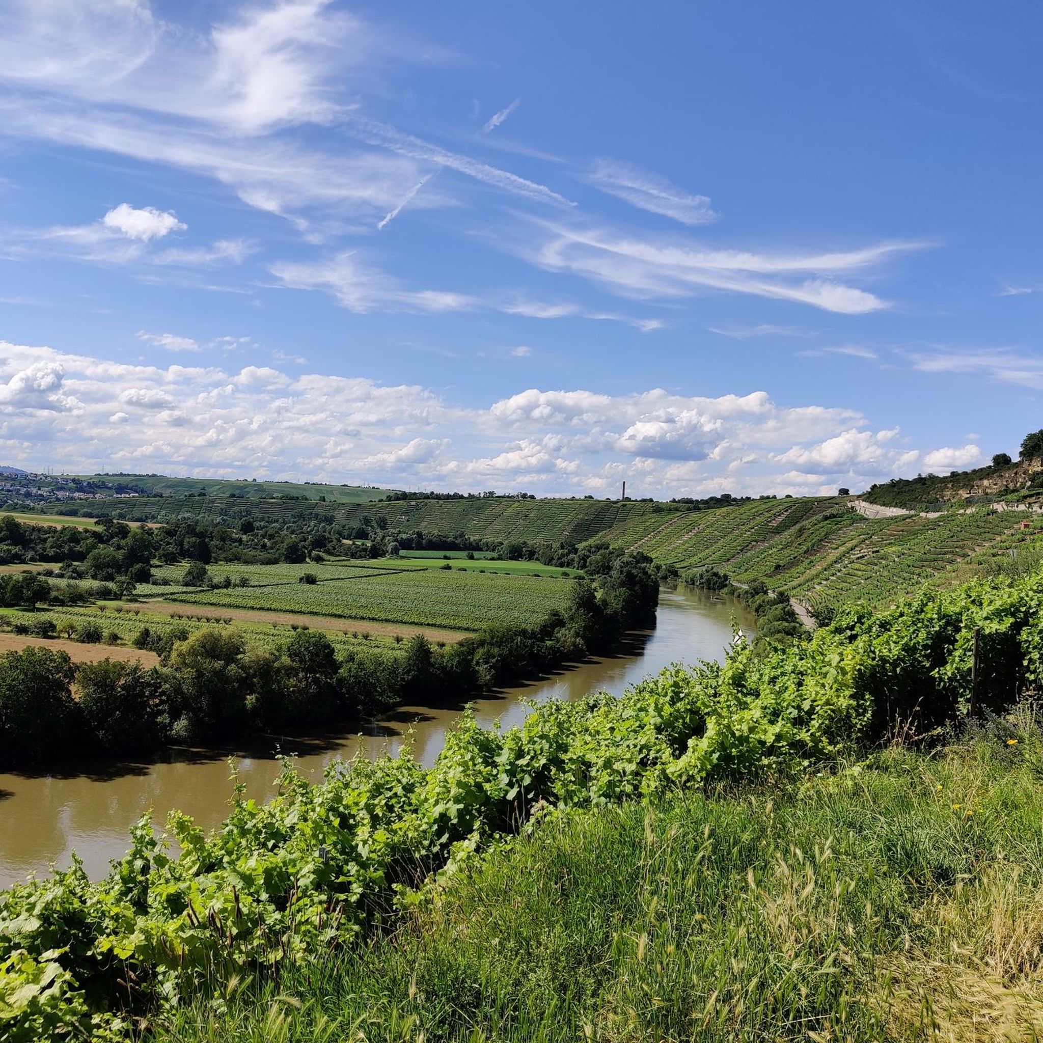
Along the Beaulieu Canal, you can take a pleasant and peaceful walk, admiring the green landscape and the picturesque locks. The canal, which dates from the 18th century, connects the Seine to the Aube and avoids the meanders of the river. You can follow the towpath for 9.1 kilometers, between Le Mériot and Noyen-sur-Seine, or make a loop passing through the villages of Melz-sur-Seine, Villiers-sur-Seine and Courceroy.
4
0

Lock dating from the 19th century renovated in 2021
0
0
Frequently Asked Questions
How many hiking trails are available around Villuis?
There are 9 hiking trails available around Villuis, all of which are rated as moderate difficulty, offering a consistent experience for hikers.
What kind of terrain can I expect on hikes near Villuis?
Hikes near Villuis feature a varied terrain, with altitudes ranging from 62 to 147 meters. You'll find a green setting that alternates between woods, valleys, and rivers, providing a rich and changing environment to explore. The area is situated on the southern foothills of the Bassée alluvial plain.
Are there any circular hiking routes in Villuis?
Yes, Villuis offers several circular hiking routes. For example, the Villiers-sur-Seine Loop is a popular 5.6-mile (9.0 km) moderate trail that explores the local countryside. Another option is the longer Château de Noyen-sur-Seine – Villiers sur Seine lock loop from Noyen-sur-Seine, which is 9.9 miles (15.9 km).
What are some interesting landmarks or attractions to see while hiking near Villuis?
While hiking near Villuis, you can encounter several interesting points. The Villiers sur Seine lock is a notable feature along some river routes. Further afield, you might explore historical sites like Château de La Motte-Tilly or Château de Fleurigny. For a unique local sight, consider the Saint-Pierre washhouse in Thorigny-sur-Oreuse.
What do other hikers enjoy most about hiking in Villuis?
The hiking trails around Villuis are highly rated by the komoot community, with an average score of 4.5 stars from over 10 reviews. Hikers often praise the varied terrain, the green woods, and the picturesque river valleys that define the area's natural beauty.
Are there any hikes that follow the river or offer views of the Seine?
Yes, the hydrological network of Villuis includes streams and a branch of the Seine, providing opportunities for river-side walks. Routes like the Villiers sur Seine lock – Château de Noyen-sur-Seine loop from Noyen-sur-Seine lead through the river landscape and past local landmarks, offering views of the water.
What is the typical duration for a hike in Villuis?
The duration of hikes in Villuis varies depending on the route. Moderate trails can range from approximately 2 hours, like the 5.2-mile (8.4 km) Villiers sur Seine lock – Château de Noyen-sur-Seine loop from Noyen-sur-Seine, to around 4 hours for longer routes such as the 9.9-mile (15.9 km) Château de Noyen-sur-Seine – Villiers sur Seine lock loop from Noyen-sur-Seine.
Is Villuis a good place for nature observation or birdwatching?
Absolutely. Villuis is associated with the 'Bassée et plaines adjacentes' Natura 2000 site, a vast alluvial plain of the Seine. This area is known for its significant diversity of habitats, which supports a very rich birdlife, making it an excellent location for nature observation and birdwatching during your hikes.
Are there any longer hiking options for experienced hikers?
While all routes are rated moderate, some offer a longer distance for those seeking a more extended experience. The Villiers sur seine church loop from Villiers-sur-Seine covers approximately 9.7 miles (15.6 km) and typically takes around 4 hours to complete, providing a good challenge within the moderate category.
What makes the landscape of Villuis unique for hiking?
Villuis's landscape is unique due to its position overlooking the valleys of the Seine and Yonne rivers, offering a verdant setting. The area's varied terrain, alternating between woods, valleys, and rivers, combined with its association with the Natura 2000 site, provides a rich and diverse natural environment for hikers to explore.
Are there any places to relax by the water near the hiking trails?
Yes, the region's hydrological network includes streams and a branch of the Seine. You can find spots like The beach at Grisy sur Seine, which offers a place to relax by the water after your hike.
Most popular attractions around Villuis

Get inspired with the komoot mobile app


Explore more
Browse the best Hikes in other regions.
