The best cycling routes around Croisilles
4.4
(37)
455
riders
96
rides
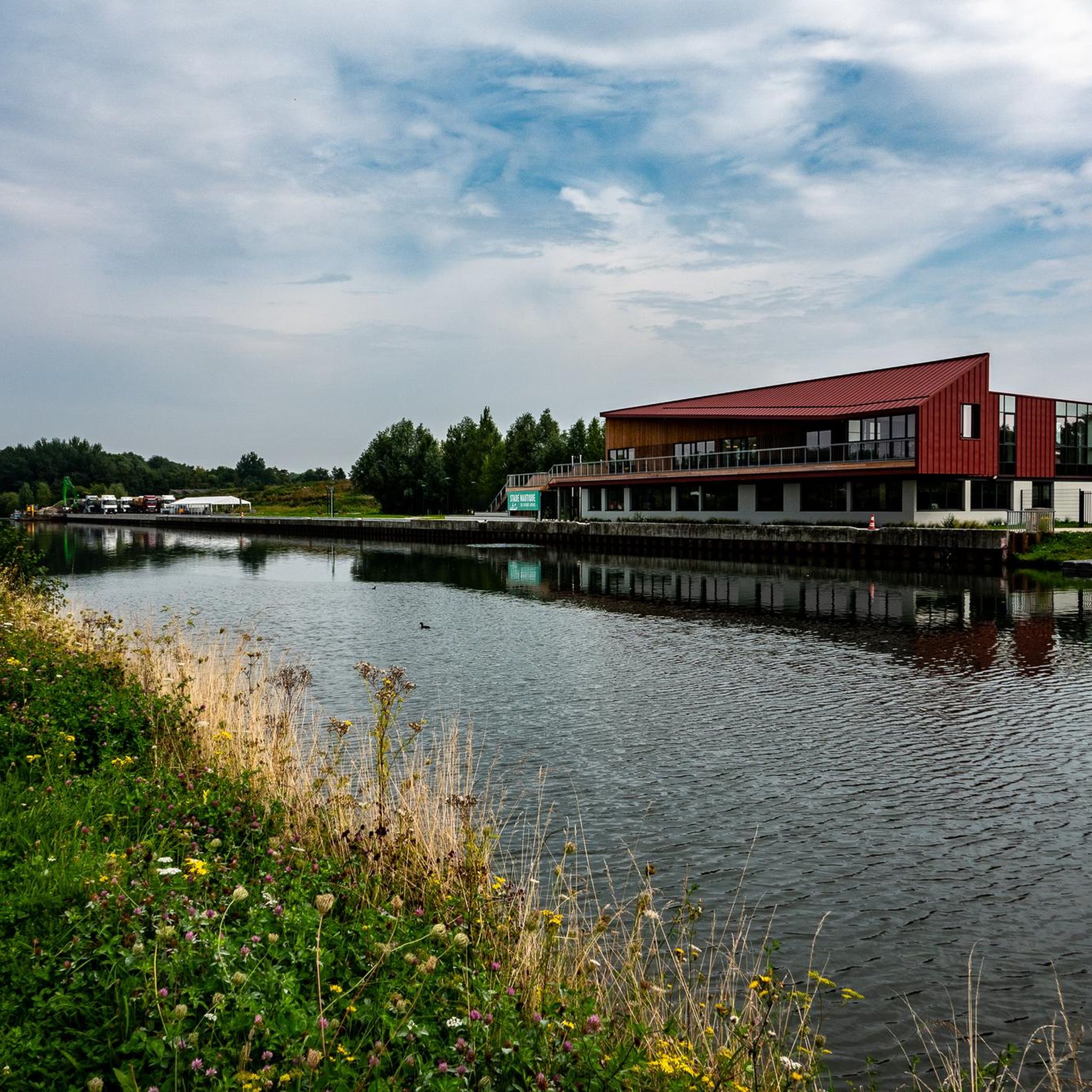
Touring cycling around Croisilles offers a network of routes through a landscape characterized by gentle rolling terrain and open agricultural fields. The region features a mix of quiet country roads and dedicated paths, providing accessible cycling for various skill levels. Elevation changes are generally moderate, with no significant peaks, making it suitable for longer distance rides.
Best touring cycling routes around Croisilles
- The most popular touring cycling route is The Carré des Sources – Sunken Road Cemetery loop from Boisleux…
Last updated: July 2, 2026
21
riders
27.3km
02:08
210m
200m
Moderate bike ride. Good fitness required. Mostly paved surfaces. Suitable for all skill levels.
20
riders
30.6km
02:16
220m
220m
Moderate bike ride. Good fitness required. Mostly paved surfaces. Suitable for all skill levels.

Sign up for free
11
riders
36.8km
02:53
310m
310m
Hard bike ride. Good fitness required. You may need to push your bike for some segments of this route.
4
riders
17.5km
01:04
110m
110m
Easy bike ride. Great for any fitness level. Mostly paved surfaces. Suitable for all skill levels.
6
riders
36.8km
03:00
280m
280m
Hard bike ride. Good fitness required. You may need to push your bike for some segments of this route.
Get access to more routes and recommendations from other explorers.
Sign up for free
Already have an account?
Our route recommendations are based on thousands of hikes, rides, and runs completed by other people on komoot.
Start today with a free account
Your next adventure awaits.
Login or Signup



Tips from the Community

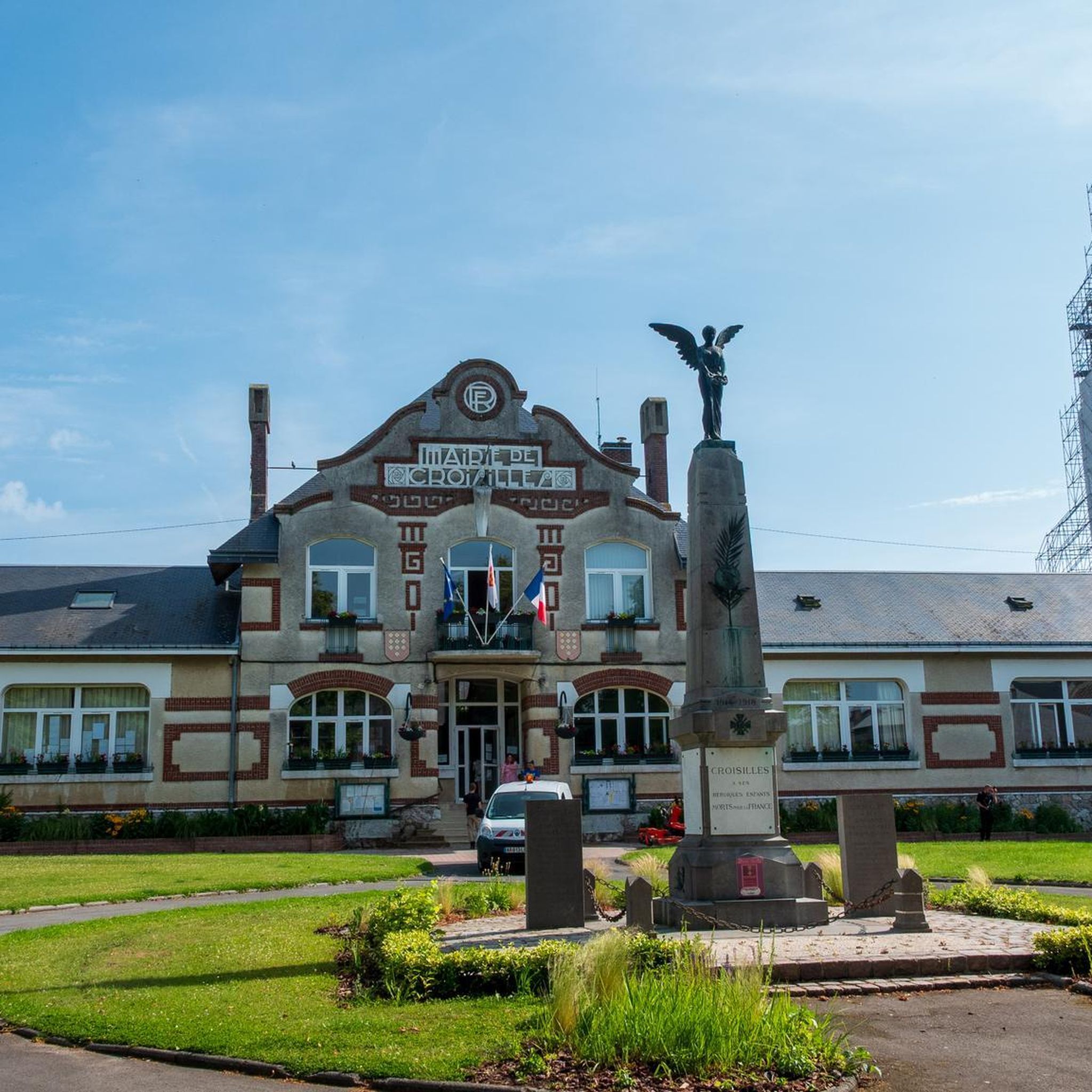
This small farming village has a rich history and is known for its two Commonwealth War Graves Commission cemeteries from the First World War. The village has a church, a castle, and a range of amenities including bars, a supermarket, a chemist and a post office. Many residents commute to nearby towns such as Arras and Bapaume for work.
9
0
The 21st Division captured Héninel on 12 April 1917 and advanced eastwards on the two following days. The 33rd Division then took over the attack. These two divisions are largely represented in the cemetery. In April 1918 this ground was lost, and the eleven German graves in Plot I, Rows D and E, were made when the cemetery was in German hands. After the Armistice, graves were brought in from a wide area round Héninel. The cemetery now contains 307 Commonwealth burials of the First World War, 104 of them unidentified. The cemetery was designed by Sir Edwin Lutyens.
8
0
Wancourt was captured on 12 April 1917 after very heavy fighting and the advance was continued on the following days. The cemetery, called at first Cojeul Valley Cemetery, or River Road Cemetery, was opened about ten days later; it was used until October 1918, but was in German hands from March 1918 until 26 August, when the Canadian Corps recaptured Wancourt. At the Armistice, the cemetery contained 410 graves, but was very greatly increased in the following years when graves were brought in from a number of small cemeteries and isolated positions on the battlefields south-east of Arras. The cemetery now contains 1936 burials and commemorations of the First World War. 829 of the burials are unidentified but there are special memorials to 76 casualties known or believed to be buried among them, and to 20 who were buried in Signal Trench Cemetery whose graves were destroyed in later battles.
9
0
Hibers Trench Cemetery, situated just north-west of Wancourt near Arras, was begun in April 1917 by the 50th (Northumbrian) Division shortly after the area was captured by British forces at the Battle of Arras. The cemetery contains 136 graves, six of which are unidentified, and also includes three Canadian graves added later in 1918. The simple design is by G.H. Goldsmith and reflects the understated dignity of this memorial. Its position on the Wancourt-Arras road makes it a silent witness to the fierce fighting that took place here, and the presence of personal inscriptions on some of the headstones emphasises the human story behind the numbers. A place of peace, remembrance and reflection.
10
0

Reflection on the course for fallen tommies 💮
0
0

Passage on the front line of the Australians and British of the First World War
1
0
Frequently Asked Questions
How many touring cycling routes are available in Croisilles?
There are over 70 touring cycling routes around Croisilles, offering a wide variety of options for different skill levels and preferences.
Are there easy touring cycling routes suitable for beginners in Croisilles?
Yes, Croisilles offers a good selection of routes suitable for beginners. Approximately 32 of the routes are classified as easy, characterized by gentle rolling terrain and quiet country roads, making them ideal for those new to touring cycling.
Are most touring cycling routes in Croisilles circular?
Many of the popular touring cycling routes in Croisilles are designed as loops, allowing you to start and finish at the same point. Examples include The Carré des Sources – Sunken Road Cemetery loop from Boisleux and Beaumetz Cross Roads Cemetery – Chemin du Canal loop from Quéant.
What historical sites or attractions can I see along the touring cycling routes in Croisilles?
The region is rich in historical landmarks. Along the routes, you might encounter sites like Houdain Lane Cemetery or the Wellington quarry. Many routes, such as the Chemin du Canal – Hermies Hill British Cemetery loop from Quéant, lead past significant historical points.
Are there challenging touring cycling routes for experienced cyclists in Croisilles?
While the terrain is generally gentle, there are some routes that offer more challenge. For instance, the Saint-Léger – Beaurains Road Cemetery loop from Boisleux is rated as difficult, providing a more strenuous ride for experienced touring cyclists.
What is the best time of year for touring cycling in Croisilles?
The spring and autumn months generally offer the most pleasant conditions for touring cycling in Croisilles, with milder temperatures and less extreme weather. Summer can also be enjoyable, though it can be warmer, especially in the open agricultural fields.
Can I bring my dog on touring cycling routes in Croisilles?
Many touring cycling routes in Croisilles follow quiet country roads and dedicated paths, which can be suitable for cycling with a dog, provided your dog is well-trained and comfortable with the activity. Always ensure your dog's safety and check local regulations regarding pets on trails.
What do other touring cyclists enjoy the most about touring cycling in Croisilles?
The touring cycling routes in Croisilles are highly rated by the komoot community, with an average score of 4.4 stars from over 20 reviews. Cyclists often praise the region's accessible cycling through gentle rolling terrain, open agricultural fields, and the historical significance of many routes.
Are there places to stop for refreshments or food along the touring cycling routes?
The routes in Croisilles often pass through or near small villages and towns where you can find local cafes, bakeries, or small shops to refuel. Planning your route with potential stops in mind is recommended.
Is it possible to access touring cycling routes in Croisilles using public transport?
While specific public transport options directly to every trailhead may vary, major towns in the vicinity of Croisilles often have bus or train connections. It's advisable to check local public transport schedules and bicycle carriage policies if you plan to use this option.
Where can I park when planning a touring cycling trip in Croisilles?
Many routes start from villages or towns like Boisleux or Quéant, where public parking is often available. Look for designated parking areas near the starting points of routes, especially in village centers or near local amenities.
What kind of weather conditions can I expect while touring cycling in Croisilles?
Croisilles experiences a temperate climate. Expect mild to warm summers and cool winters. The region can be prone to wind, especially across the open fields, so it's always wise to check the local forecast before heading out and dress in layers.
Most popular routes around Croisilles
Most popular attractions around Croisilles

Get inspired with the komoot mobile app


Explore more
Browse the best Cycling routes in other regions.
