The best walks and hikes around Aignes
4.5
(87)
1,032
hikers
80
hikes
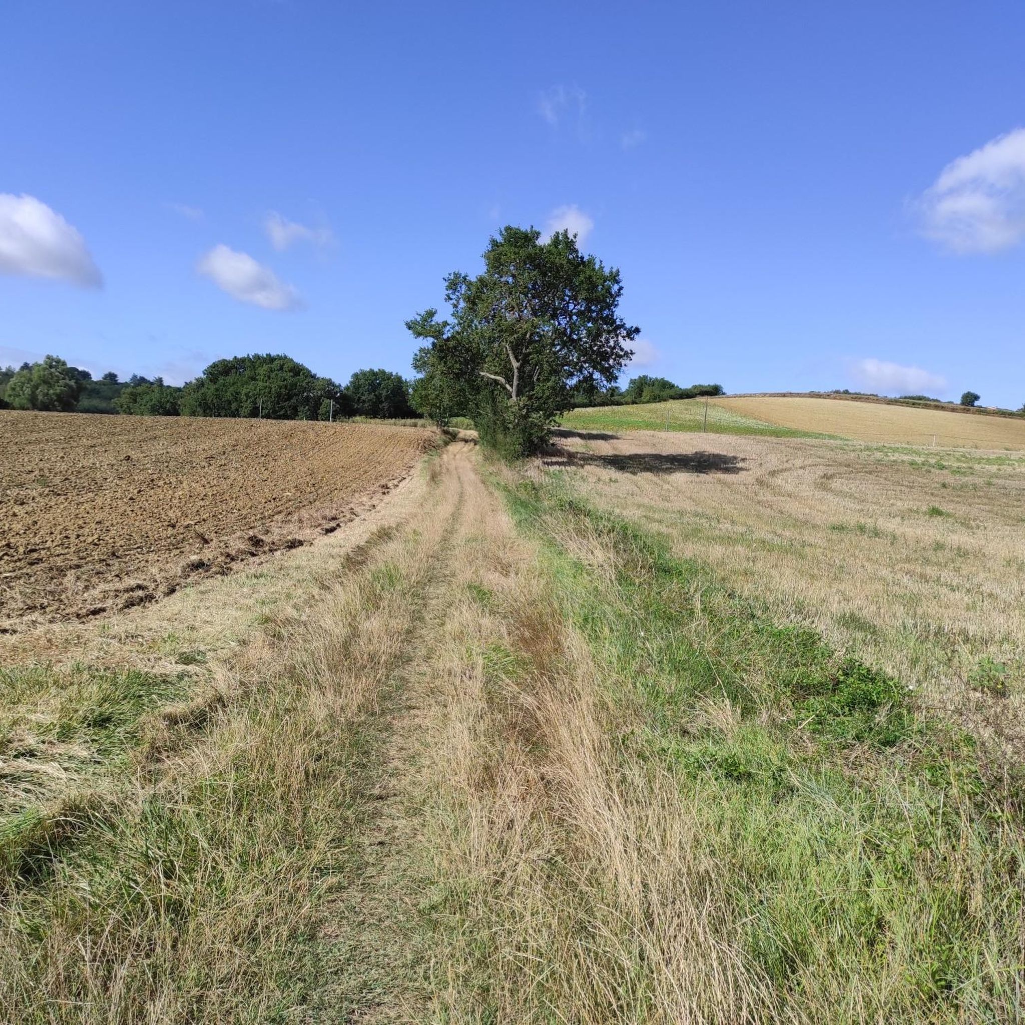
Hiking around Aignes offers routes through varied rural landscapes. The terrain typically features gentle hills and paths around local water bodies. Trails often pass by historical points of interest and offer views of the surrounding countryside. The area provides a network of paths suitable for different hiking abilities.
Best hiking trails around Aignes
- The most popular hiking route is View of Lac de la Thésauque – Lake Thésauque loop from Nailloux, a 5.8 miles (9.3 km) trail that takes…
Last updated: July 4, 2026
4.8
(4)
40
hikers
9.19km
02:33
170m
170m
Moderate hike. Good fitness required. Easily-accessible paths. Suitable for all skill levels.
5.0
(2)
10
hikers
10.2km
02:46
150m
150m
Moderate hike. Good fitness required. Easily-accessible paths. Suitable for all skill levels.

Sign up for free
4.0
(1)
9
hikers
8.74km
02:27
180m
180m
Moderate hike. Good fitness required. Easily-accessible paths. Suitable for all skill levels.
10
hikers
10.3km
02:45
110m
110m
Moderate hike. Good fitness required. Easily-accessible paths. Suitable for all skill levels.
3.0
(1)
5
hikers
6.86km
01:58
150m
150m
Easy hike. Great for any fitness level. Easily-accessible paths. Suitable for all skill levels.
Get access to more routes and recommendations from other explorers.
Sign up for free
Already have an account?
Our route recommendations are based on thousands of hikes, rides, and runs completed by other people on komoot.
Start today with a free account
Your next adventure awaits.
Login or Signup


Tips from the Community

Panoramic view of the Pyrenees and in particular Mont Valier.
0
0
Quality of landscapes and impeccable layout.
0
0
Far from the hustle and bustle of the parking lot of the Lac de Thésauque leisure area, the departure from the church of Montgeard is a more bucolic way of approaching the tour of the lake with the passage over a high point which allows a glimpse of keep an eye on the Pyrenees, we never get tired of them...
1
0

The Lac de la Thésauque is a 33-hectare reservoir in the southern French department of Haute-Garonne in the Thésauque department. The Thésauque dam was built in 1973 on the Cours de la Thésauque by the will of the municipalities of Nailloux and Montgeard. With a depth of 9 m, it houses a leisure area. It is owned by the municipality of Terres du Lauragais and is divided into four zones: the north of the lake is reserved for leisure and tourism, the second to the south is reserved to a natural area, the third to the east for agriculture and the fourth to the west towards Nailloux the urbanization. Source: https://fr.wikipedia.org/wiki/Lac_de_la_Th%C3%A9sauque
0
1

Magnificent, splendid, pretty, unmissable
0
0

A recreation area has been set up to the north of the lake and the banks can be explored on foot or by bike.
0
0
A recreation area has been set up to the north of the lake and the banks can be explored on foot or by bike.
1
0

Access to the orientation table is via a small spiral path. During the ascent, you will pass by the mill with a direct view of the church. (The climb can also be done by mountain bike, gravel. By road bike it is also fine but not very recommended)
1
0
Frequently Asked Questions
What kind of hiking trails can I expect around Aignes?
Hiking around Aignes offers a variety of routes through gentle hills and rural landscapes, often passing by local water bodies like Lac de la Thésauque. You'll find paths suitable for different abilities, with a focus on scenic countryside and historical points of interest.
Are there many easy hiking options in Aignes?
Yes, Aignes is very accommodating for easy hikes. Out of the 68 available routes, 42 are classified as easy, making it a great destination for relaxed walks through the countryside.
Are there any circular walks around Aignes?
Many of the popular routes in Aignes are circular, allowing you to start and end in the same location. For example, the View of Lac de la Thésauque – Lake Thésauque loop from Nailloux and the View of Lac de la Thésauque – Lake Thésauque loop from Montgeard both offer scenic circuits around the lake.
What are some interesting places to see along the hiking trails?
The trails around Aignes often lead to interesting local sights. You might encounter historical landmarks like the Montgeard and its church, or the Pilgrims' hostel near Ayguesvives. The famous Canal du Midi is also accessible in the wider region, offering pleasant waterside walks.
Are there any family-friendly hiking trails in Aignes?
Given the prevalence of easy and moderate routes with gentle terrain, many trails in Aignes are suitable for families. The loops around Lac de la Thésauque, such as the Table d'orientation loop from Calmont, are generally well-suited for a family outing.
What do other hikers say about the trails in Aignes?
The komoot community highly rates the hiking experience in Aignes, with an average score of 4.6 stars from over 75 reviews. Hikers often praise the varied rural landscapes, the well-maintained paths, and the scenic views, especially around Lac de la Thésauque.
Are there any trails that pass by historical castles or significant landmarks?
Yes, you can explore trails that include historical sites. The Château de Calmont loop from Calmont is a great example, leading you through the countryside and past the local château.
What is the best time of year to go hiking in Aignes?
Aignes, located in the Midi-Pyrenees region of France, generally offers pleasant hiking conditions from spring through autumn. The gentle hills and rural paths are enjoyable in milder weather, allowing you to fully appreciate the natural beauty and historical sites.
Are there any long-distance hiking options or more challenging routes?
While Aignes is known for its gentle terrain, some routes offer longer distances. The Cintegabelle Orientation Table loop from Cintegabelle, for instance, covers over 10 km. The region primarily features moderate trails, with no routes classified as difficult in the immediate area.
Can I find trails that offer views of lakes or rivers?
Absolutely. A significant feature of hiking in Aignes is the presence of water bodies. The most prominent example is Lac de la Thésauque, which is circled by popular routes like the View of Lac de la Thésauque – Lake Thésauque loop from Nailloux, offering continuous lake views.
Most popular attractions around Aignes

Get inspired with the komoot mobile app


Explore more
Browse the best Hikes in other regions.
