The best cycling routes around Anglards-De-Saint-Flour
4.6
(79)
588
riders
94
rides
Touring cycling around Anglards-De-Saint-Flour features diverse terrain, situated between the valleys of the Ander and Truyère rivers. The region is characterized by impressive Truyère Gorges, large dam lakes, and volcanic landscapes, including the Cézallier volcanic mountains and the Planèze of Saint-Flour. Pine forests and undulating hills also contribute to the varied scenery for cyclists, offering routes with significant elevation changes.
Best touring cycling routes around Anglards-De-Saint-Flour
- The most popular touring cycling route is Garabit Viaduct – Truyère Gorges loop from…
Last updated: June 29, 2026
4.5
(6)
41
riders
57.9km
04:10
1,190m
1,190m
Hard bike ride. Very good fitness required. Mostly paved surfaces. Suitable for all skill levels.
5.0
(1)
10
riders
47.6km
03:18
900m
900m
Hard bike ride. Very good fitness required. Mostly paved surfaces. Suitable for all skill levels.

Sign up for free
3.5
(2)
12
riders
34.3km
02:37
550m
550m
Hard bike ride. Very good fitness required. Mostly paved surfaces. Suitable for all skill levels.
4.3
(3)
10
riders
51.5km
03:28
720m
720m
Hard bike ride. Very good fitness required. Mostly paved surfaces. Suitable for all skill levels.
6
riders
37.9km
02:30
560m
560m
Hard bike ride. Very good fitness required. Mostly paved surfaces. Suitable for all skill levels.
Get access to more routes and recommendations from other explorers.
Sign up for free
Already have an account?
Our route recommendations are based on thousands of hikes, rides, and runs completed by other people on komoot.
Start today with a free account
Your next adventure awaits.
Login or Signup
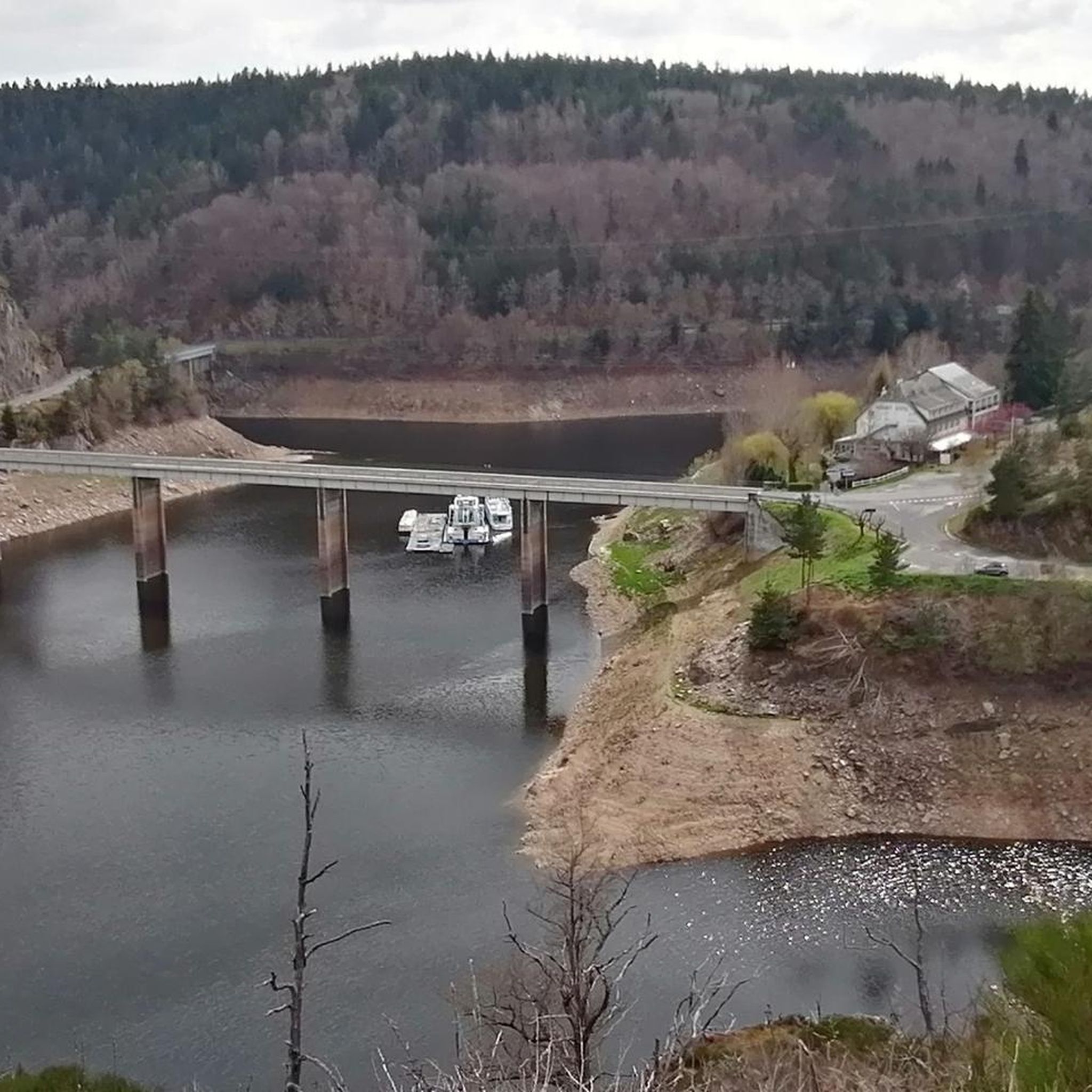
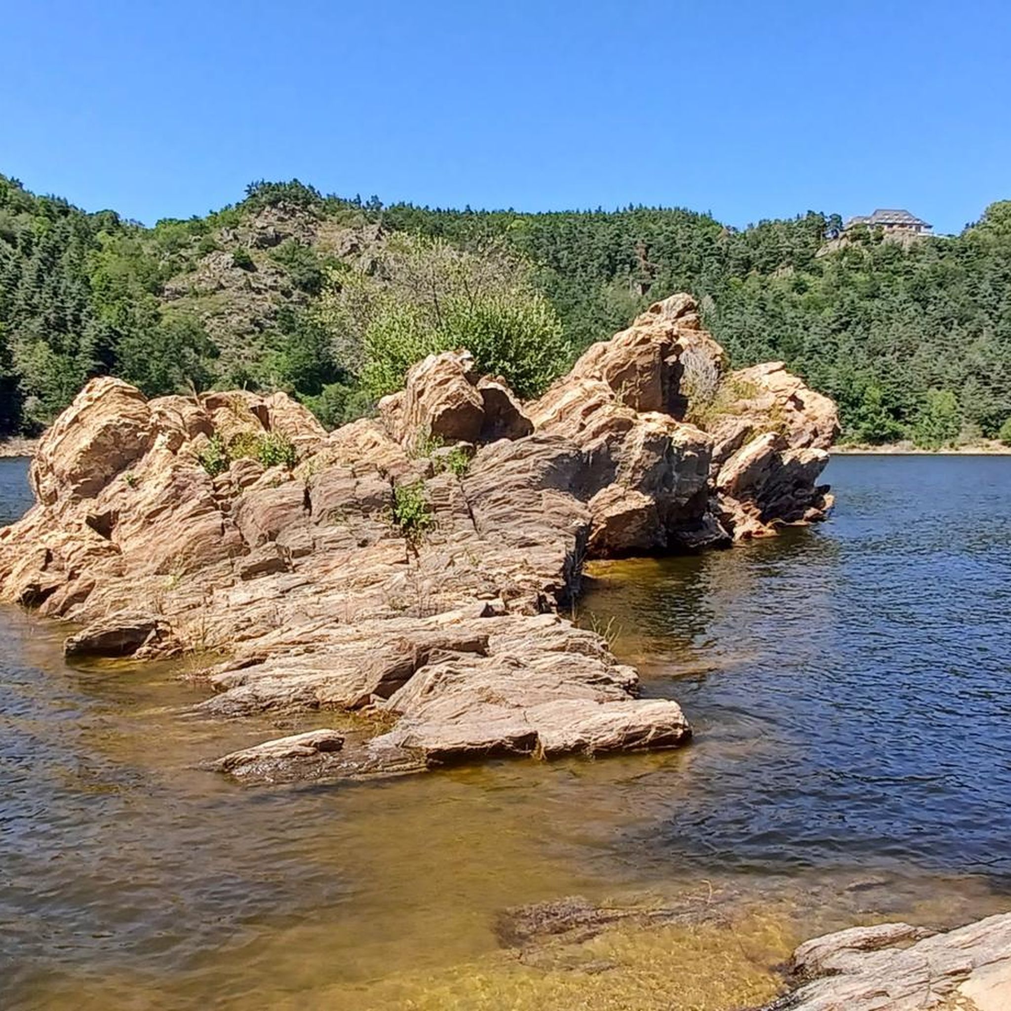
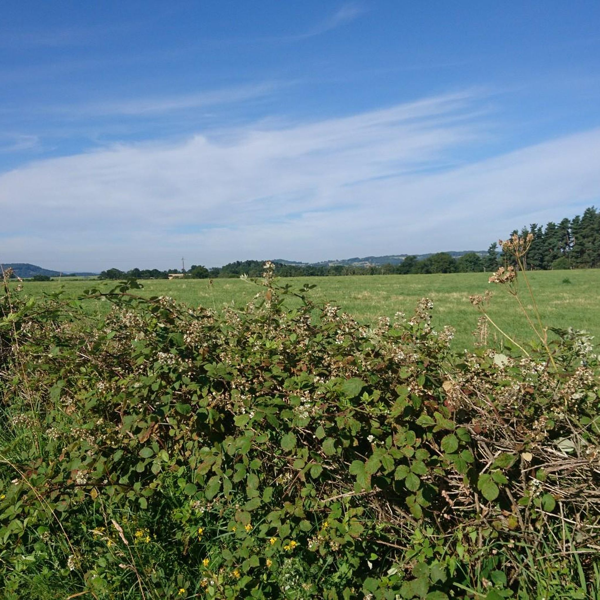
Tips from the Community


By bike you can see this castle from different angles. It is worth the detour.
2
0


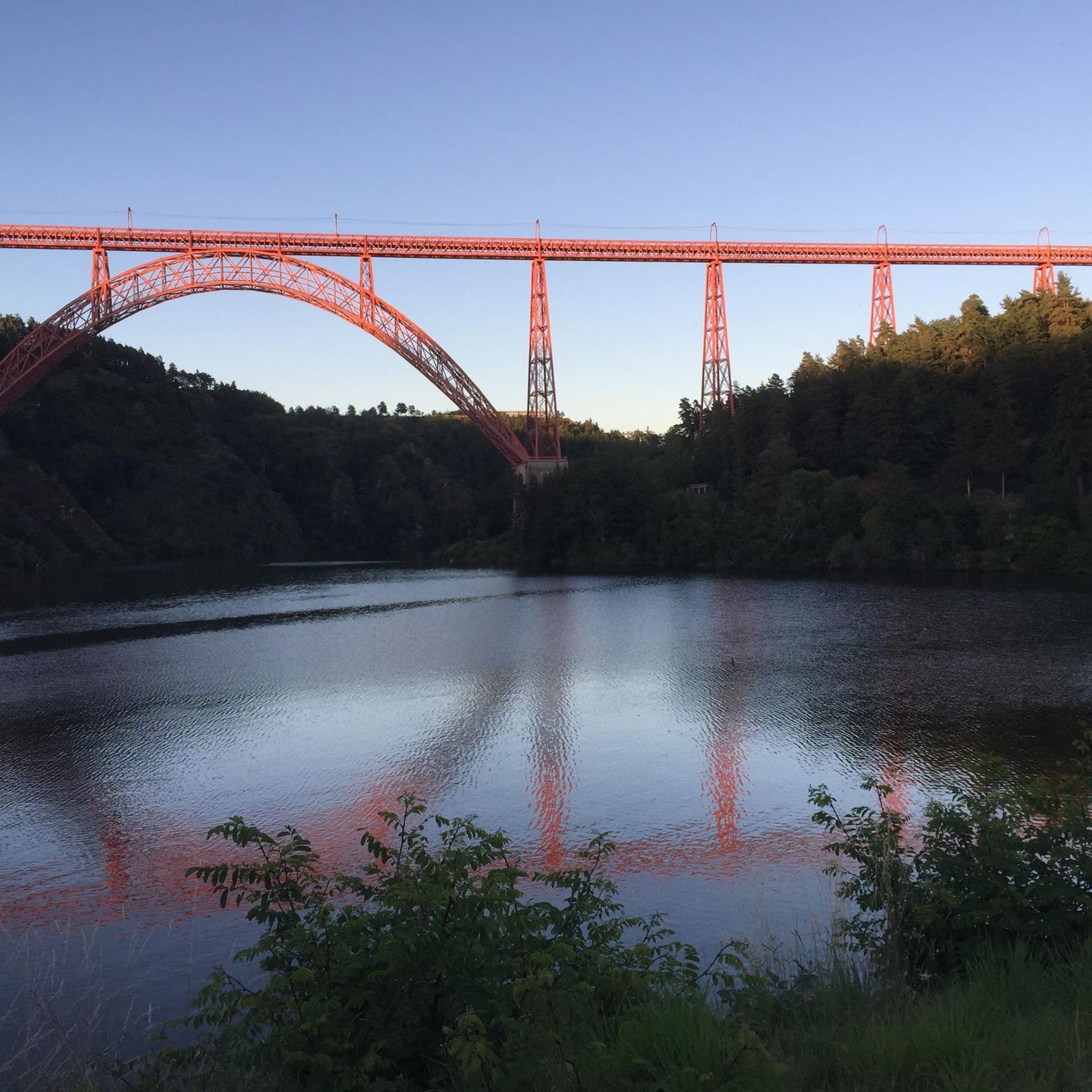
Superb view of the Garabit viaduct, allowing you to cross the Truyère gorges. This metal structure, created by Gustave Eiffel, is 565 meters long and rises to 122 meters above the water. It was at one time the “highest viaduct in the world”!
0
0

Impressive viaduct designed by Eiffel. Go as close as possible for snaps.
0
0

This magnificent building which became a fortified castle during the Hundred Years War can be visited. Located on a rocky promontory, it impresses. A little well-kept secret: it overlooks the Babory stream which flows into Lake Sailhant forming a very pretty waterfall. This visit, and this magical natural place, here are two good reasons to make a stopover in Andelat!
1
0
Ruynes-en-Margeride is recognizable from afar thanks to its 12th century tower. The latter houses the Margeride eco-museum as well as the garden of Saint-Martin. The beautiful fountain located on Place Gambetta is also to be discovered.
1
0
The name of Saint-Flour comes from Florus, a bishop who came to evangelize the region in the 4th century. The city, located on a volcanic promontory, is doubly protected by ramparts and fortified gates. In the 14th century, the city, due to its importance within the Cantal region, received the prestigious title of religious capital of Haute-Auvergne. The numerous buildings from this period are an integral part of the city and contribute to its beauty.
1
0
Frequently Asked Questions
How many touring cycling routes are available around Anglards-de-Saint-Flour?
There are over 90 touring cycling routes around Anglards-de-Saint-Flour, offering a wide range of options for cyclists. These routes are highly rated by the komoot community, with an average score of 4.7 stars.
What kind of terrain can I expect on touring cycling routes in Anglards-de-Saint-Flour?
The region offers diverse terrain, from impressive Truyère Gorges and volcanic landscapes like the Cézallier mountains to high plateaus and pine forests. You'll encounter undulating hills and routes with significant elevation changes, catering to various fitness levels. While mostly well-paved, some segments may be unpaved.
Are there any family-friendly touring cycling routes in the area?
While many routes feature significant elevation, there are options for varying abilities. For easier rides, look for routes with less elevation gain. The region's diverse landscapes, including forests and plateaus, can offer pleasant experiences for families, though specific 'easy' routes are fewer among the more challenging options.
Which touring cycling routes offer views of the iconic Garabit Viaduct?
You can enjoy views of the Garabit Viaduct on routes such as the Garabit Viaduct – Truyère Gorges loop from La Baraque, a challenging 35.6-mile (57.3 km) ride. Another option is the Garabit Viaduct – View of the Garabit Viaduct loop from Ruynes-en-Margeride, which is a moderate 11.9-mile (19.1 km) trail.
What historical sites or natural landmarks can I explore along the touring cycling routes?
The area is rich in landmarks. You can cycle past the impressive Alleuze Castle, explore the medieval town of Saint-Flour, or witness the dramatic Truyère Gorges. The Chassan Castle – View of Lac de Mallet loop from Anglards-de-Saint-Flour also offers views of Lac de Mallet and passes by Chassan Castle.
Are there any circular touring cycling routes available?
Yes, many of the touring cycling routes in the Anglards-de-Saint-Flour area are designed as loops. Examples include the Garabit Viaduct – Truyère Gorges loop from La Baraque and the Saint-Flour – Saint-Flour Medieval Town loop from Saint-Georges, allowing you to start and end at the same point.
What is the best time of year for touring cycling in Anglards-de-Saint-Flour?
The region is generally best for cycling outside of winter. Spring, summer, and early autumn offer pleasant conditions to explore the diverse landscapes. While the area can experience snow, especially in higher elevations like the Monts du Cantal, the lower valleys and plateaus are typically accessible for cycling during warmer months.
Are there options for parking at the trailheads for touring cycling routes?
Yes, many touring cycling routes in the Anglards-de-Saint-Flour area have designated starting points or nearby villages where parking is available. For instance, routes often start from towns like La Baraque, Anglards-de-Saint-Flour, Ruynes-en-Margeride, or Saint-Georges, which typically offer parking facilities.
What is the typical duration for touring cycling routes in this region?
Route durations vary significantly based on distance and elevation. You can find shorter routes, like the Garabit Viaduct – View of the Garabit Viaduct loop from Ruynes-en-Margeride, which takes about 1 hour 34 minutes for 11.9 miles (19.1 km). Longer, more challenging rides, such as the Garabit Viaduct – Truyère Gorges loop from La Baraque, can take over 4 hours to complete 35.6 miles (57.3 km).
Are there any cafes or pubs along the touring cycling routes in Anglards-de-Saint-Flour?
The region features charming villages and towns like Saint-Flour and Ruynes-en-Margeride, which are often part of cycling routes. These settlements typically offer local cafes, bakeries, and pubs where you can stop for refreshments and experience local hospitality.
What makes the touring cycling experience in Anglards-de-Saint-Flour unique?
The unique combination of the Truyère Gorges, the vast volcanic landscapes of the Cantal, and the historical sites like the Garabit Viaduct sets this region apart. Cyclists can experience dramatic scenery, challenging climbs, and quiet roads through pine forests, all within the diverse topography of the Auvergne-Rhône-Alpes region.
How challenging are the touring cycling routes around Anglards-de-Saint-Flour?
The routes range from moderate to difficult, with a significant number of challenging options. Many routes feature substantial elevation gains, often exceeding 3,000 feet, making them suitable for cyclists with good fitness. For example, the Ruynes-en-Margeride loop from La Baraque is a difficult 37.8-mile (60.9 km) route with over 1,800 feet of climbing.
Most popular routes around Anglards-De-Saint-Flour
Most popular attractions around Anglards-De-Saint-Flour

Get inspired with the komoot mobile app


Explore more
Browse the best Cycling routes in other regions.
