The best walks and hikes around Saint-Laurent-D'Olt
4.3
(220)
1,210
hikers
100
hikes
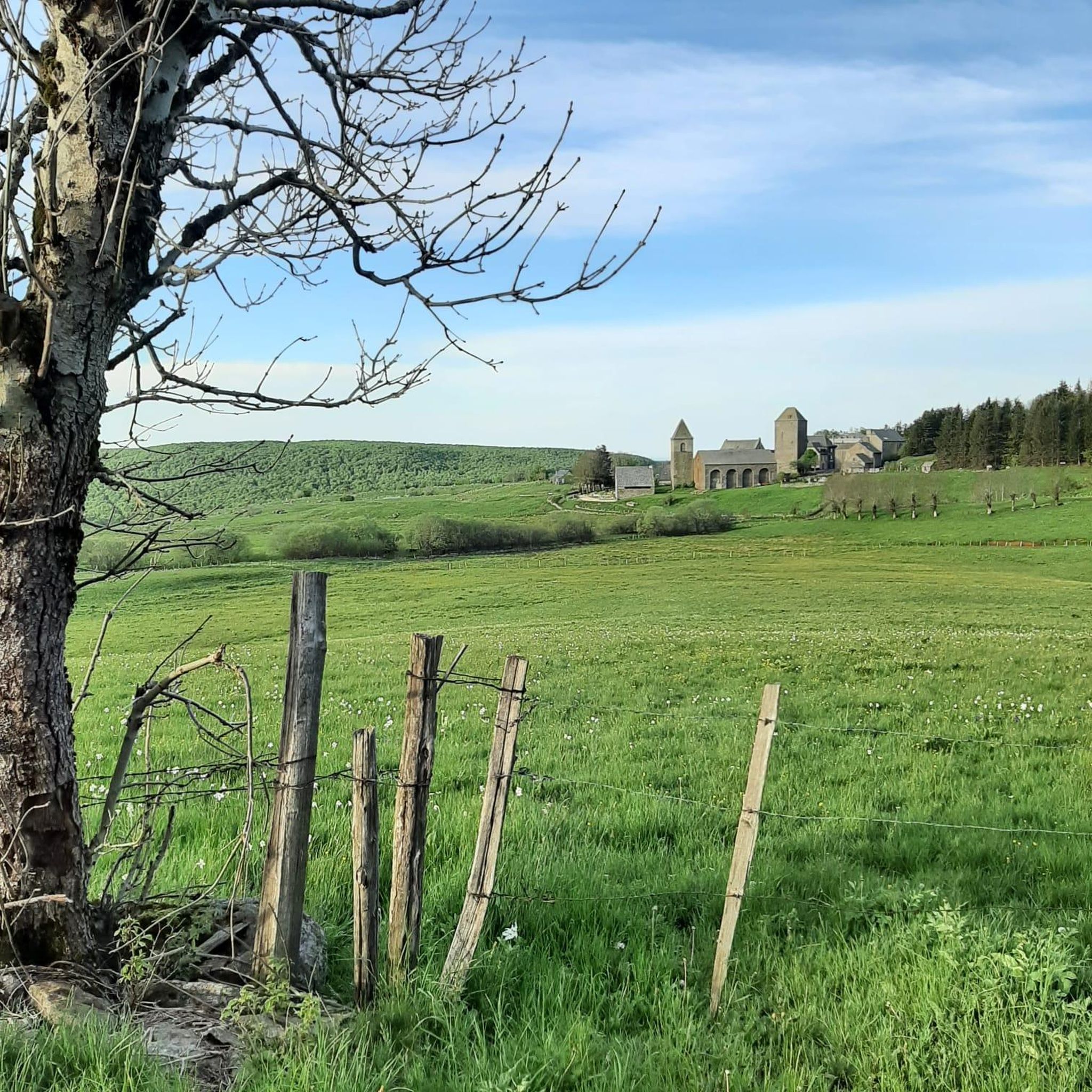
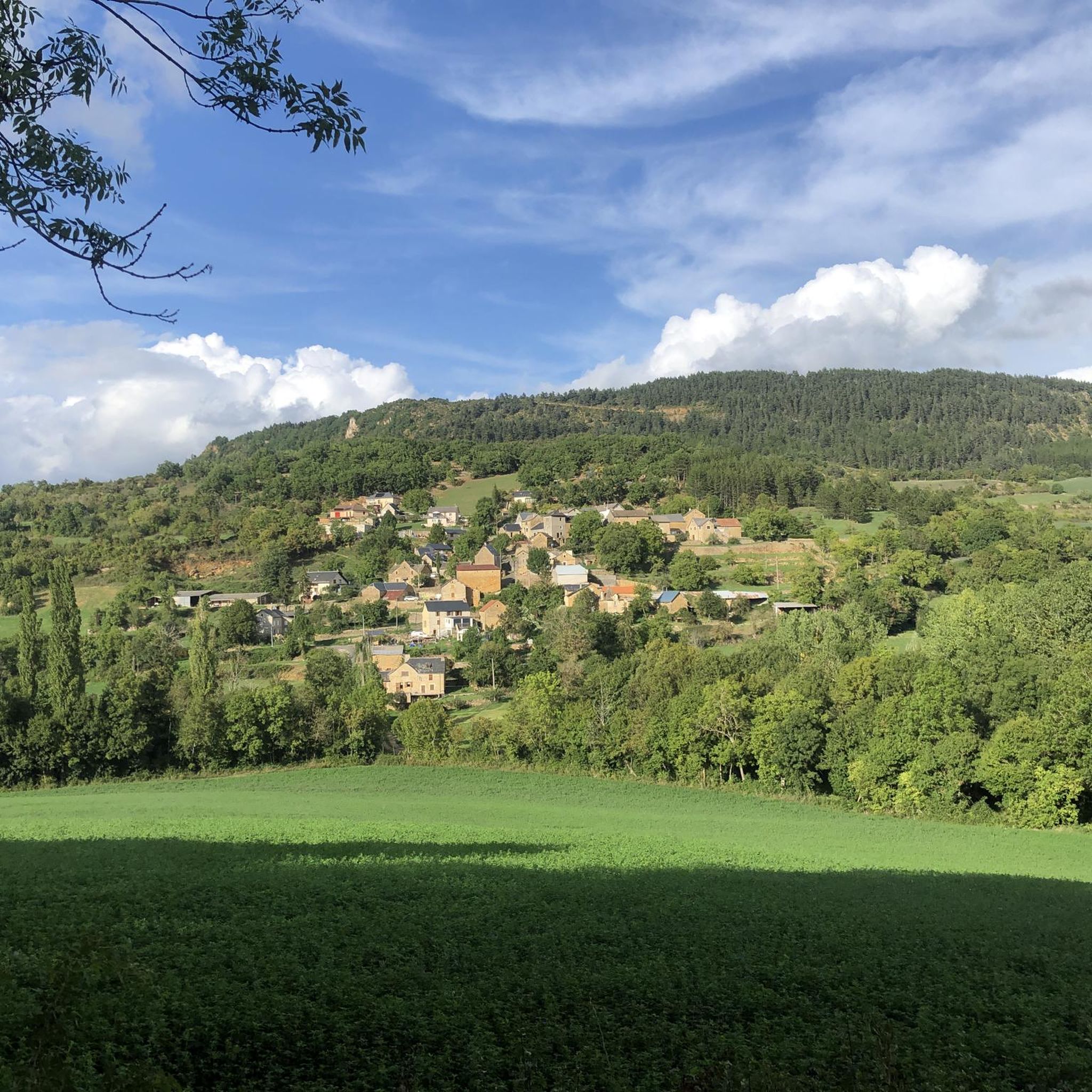
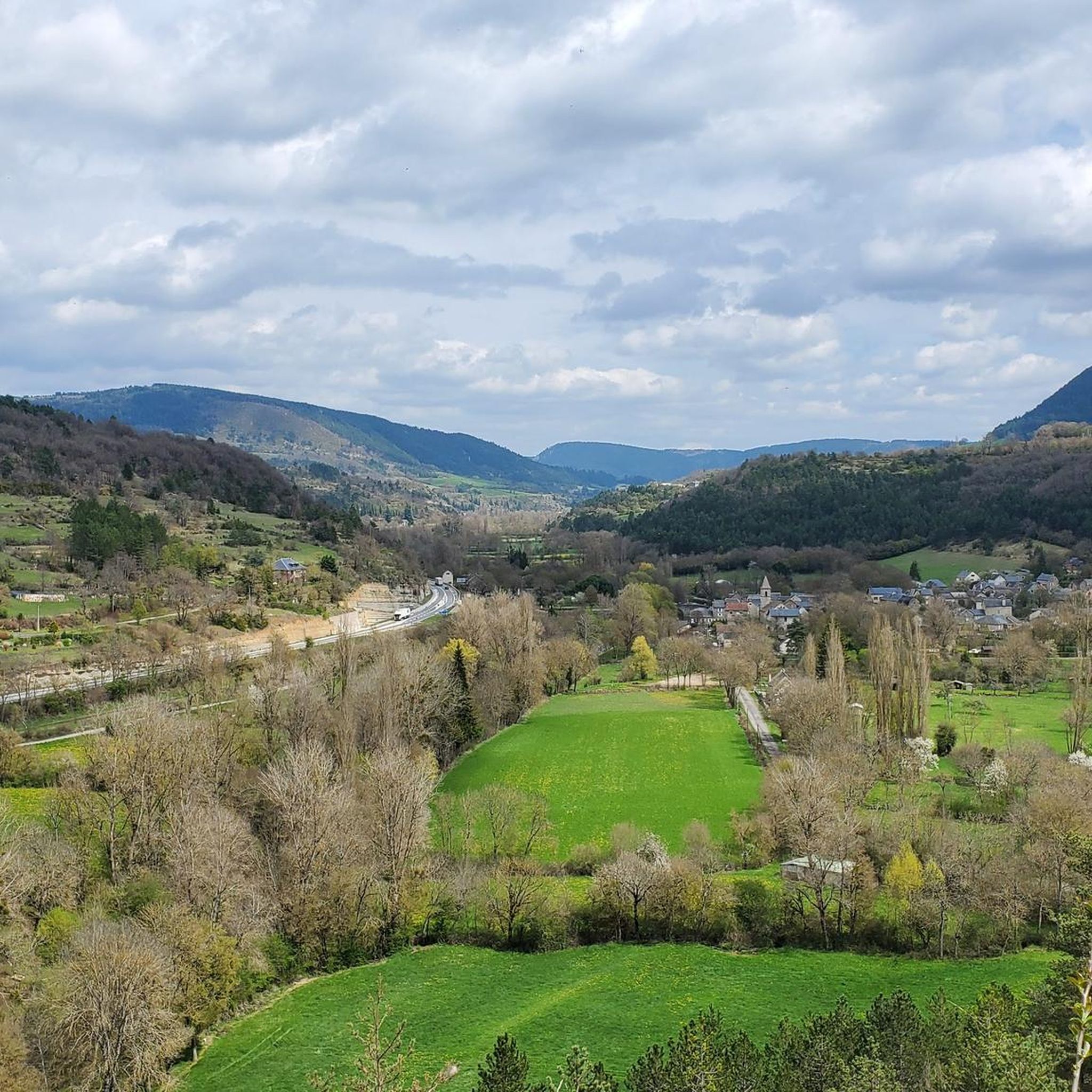
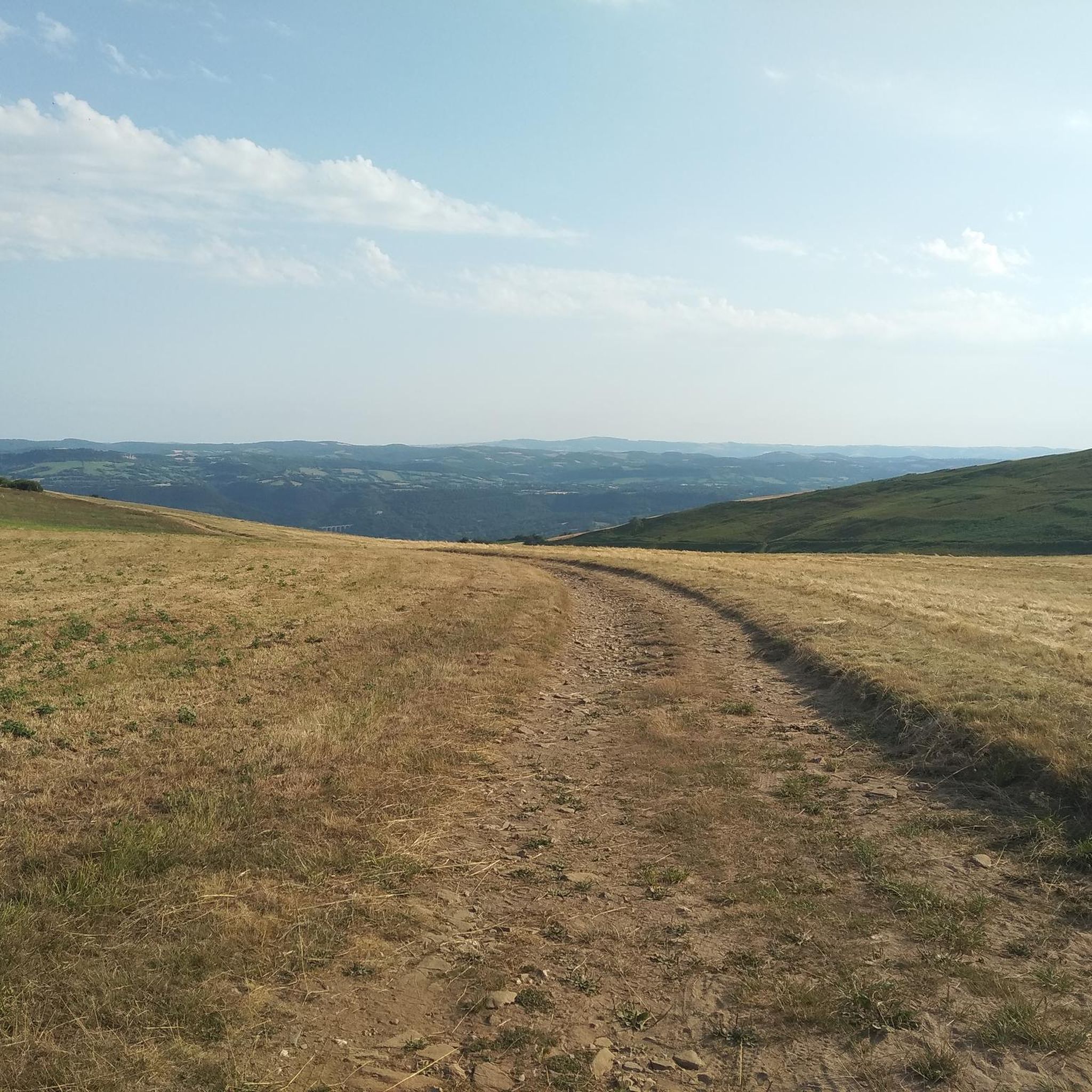
Hiking around Saint-Laurent-D'Olt offers diverse natural landscapes, situated at the crossroads of the Aubrac plateau and the Causse regions. The area features varied terrain, including the Lot Valley, characteristic red earth, and limestone plateaus. This geological transition provides a wide range of hiking experiences, from river valleys to high plateaus.
Best hiking trails around Saint-Laurent-D'Olt
- The most popular hiking route is Saltou Waterfall – Bonnecombe Pass loop from Les Hermaux, a 9.5 miles (15.3 km) trail that takes 4…
Last updated: October 11, 2026
4.1
(10)
55
hikers
15.3km
04:22
350m
360m
Moderate hike. Good fitness required. Easily-accessible paths. Suitable for all skill levels.
4.3
(10)
45
hikers
8.23km
02:23
210m
210m
Moderate hike. Good fitness required. Easily-accessible paths. Suitable for all skill levels.

2.0
(1)
11
hikers
5.72km
01:38
130m
130m
Easy hike. Great for any fitness level. Easily-accessible paths. Suitable for all skill levels.
4.5
(2)
12
hikers
8.89km
02:29
170m
170m
Moderate hike. Good fitness required. Easily-accessible paths. Suitable for all skill levels.
11
hikers
17.1km
05:13
590m
590m
Hard hike. Very good fitness required. Easily-accessible paths. Suitable for all skill levels.
Get access to more routes and recommendations from other explorers.
Already have an account?
Our route recommendations are based on thousands of hikes, rides, and runs completed by other people on komoot.
Start today with a free account
Your next adventure awaits.

Tips from the Community


Banassac is a neighboring village of La Canourgue. The village actually bears the name of Banassac-Canilhac since it was recently attached to the neighboring town of Canilhac. The city center is very pleasant in this village which was once the second largest municipality in Lozère. Its prosperity was due to the ceramic and pottery workshops. Artisans and exhibitions perpetuate the transmission and ancestral know-how.
3
0

A pleasant pass, which will take you straight into Aubrac and its magical plateau. We slept at the top in June, it is still cold there.
0
0

A medieval village where it is good to get lost in these alleys.
0
0

The Bonnecombe pass gives access to the southern part of the Aubrac mountains, the highest on the plateau, and is located between the Mailhebiau signal and the Coumborio mountain. It is taken by the D52 road, known as the lakes road and is located in the immediate vicinity of the pond of the same name.
2
1
Frequently Asked Questions
How many hiking trails are available around Saint-Laurent-D'Olt?
There are over 100 hiking trails around Saint-Laurent-D'Olt, offering a wide range of experiences. These routes explore the diverse landscapes of the Lot Valley, Aubrac plateau, and Causse regions.
Are there any easy hiking trails suitable for beginners or families?
Yes, Saint-Laurent-D'Olt offers many easy trails. For example, the La Canourgue. loop from La Canourgue is an easy 5.7 km (3.5 miles) trail that takes about 1 hour 38 minutes to complete, leading through varied local terrain.
Can I find trails with waterfalls in the area?
Yes, the region is home to the notable Saltou Waterfall. You can experience it on the Saltou Waterfall – Bonnecombe Pass loop from Les Hermaux, a moderate 15.3 km (9.5 miles) route that takes approximately 4 hours 21 minutes and leads from a plateau into undergrowth.
Are there any circular hiking routes around Saint-Laurent-D'Olt?
Many trails in the area are circular. Besides the Saltou Waterfall loop, you can explore the La Canourgue. loop from Banassac - La Canourgue, a moderate 8.2 km (5.1 miles) path offering scenic views of the local surroundings and the Lot Valley.
What kind of landscapes can I expect to see while hiking here?
Hiking around Saint-Laurent-D'Olt offers a rich tapestry of landscapes. You'll encounter the scenic Lot Valley, the characteristic red earth of Saint-Laurent, and the limestone plateaus of the Causse of Sévérac, as the area sits at the crossroads of the Aubrac plateau and the Causse regions.
What do other hikers say about the trails in Saint-Laurent-D'Olt?
The routes in Saint-Laurent-D'Olt are highly rated by the komoot community, with an average score of 4.4 stars from over 100 reviews. Hikers often praise the diverse terrain and the well-maintained paths that showcase the region's natural beauty.
Are there any longer or more challenging hikes for experienced trekkers?
Yes, for those seeking a greater challenge, the Hiking loop from Pomayrols is a difficult 17.1 km (10.6 miles) route with significant elevation changes, typically taking over 5 hours to complete. This trail requires good fitness.
What are some interesting places or landmarks to see near the hiking trails?
Along your hikes, you can explore several interesting points. Consider visiting Banassac or Saint-Geniez-d'Olt. The Saint-Saturnin Castle – Banassac loop from Banassac is a moderate 8.9 km (5.5 miles) hike that offers historical and scenic interest.
Is Saint-Laurent-D'Olt a good destination for a multi-day hiking trip?
With over 100 trails ranging from easy to difficult, Saint-Laurent-D'Olt provides ample opportunities for multi-day hiking. Its diverse terrain, from river valleys to high plateaus, ensures varied experiences for an extended stay.
What is the best time of year to go hiking in Saint-Laurent-D'Olt?
The region is generally pleasant for hiking from spring through autumn. Spring brings lush greenery and wildflowers, while autumn offers vibrant foliage. Summer is also popular, though some trails might be more exposed to the sun.
Are there any trails that offer great viewpoints?
Many trails in Saint-Laurent-D'Olt provide scenic views, especially those that traverse the Lot Valley or ascend to the plateaus. The area's position overlooking the Lot Valley naturally offers numerous vantage points to appreciate the diverse landscapes.
Most popular routes around Saint-Laurent-D'Olt
Most popular attractions around Saint-Laurent-D'Olt

Get inspired with the komoot mobile app


Explore more
Browse the best Hikes in other regions.
