The 4 Most Amazing Peaks around Antichan-De-Frontignes
Best mountain peaks around Antichan-De-Frontignes, nestled in the Garonne valley at the foot of the Pyrenees, offers access to several elevated points. This region serves as a starting point for exploring the lower to mid-altitude peaks of the Pyrenean foothills. The natural landscape provides opportunities for hiking and discovering local flora and fauna. These mountain excursions combine accessible trails with views of the Pyrenees.
Best mountain peaks around Antichan-De-Frontignes
- The most popular mountain peaks is Gar Peak, a summit…
Last updated: July 1, 2026
Gar Peak
Highlight • Summit
Translated by Google •
Tip by

Pic de Cagire
Highlight • Summit
Translated by Google •
Tip by

Sign up now to discover places like this
Get recommendations on the best single tracks, peaks, & plenty of other exciting outdoor places.
Sign up for free
Pic Saillant
Highlight • Summit
Translated by Google •
Tip by
Pique Poque Summit
Highlight • Summit
Translated by Google •
Tip by

Start today with a free account
Your next adventure awaits.
Login or Signup
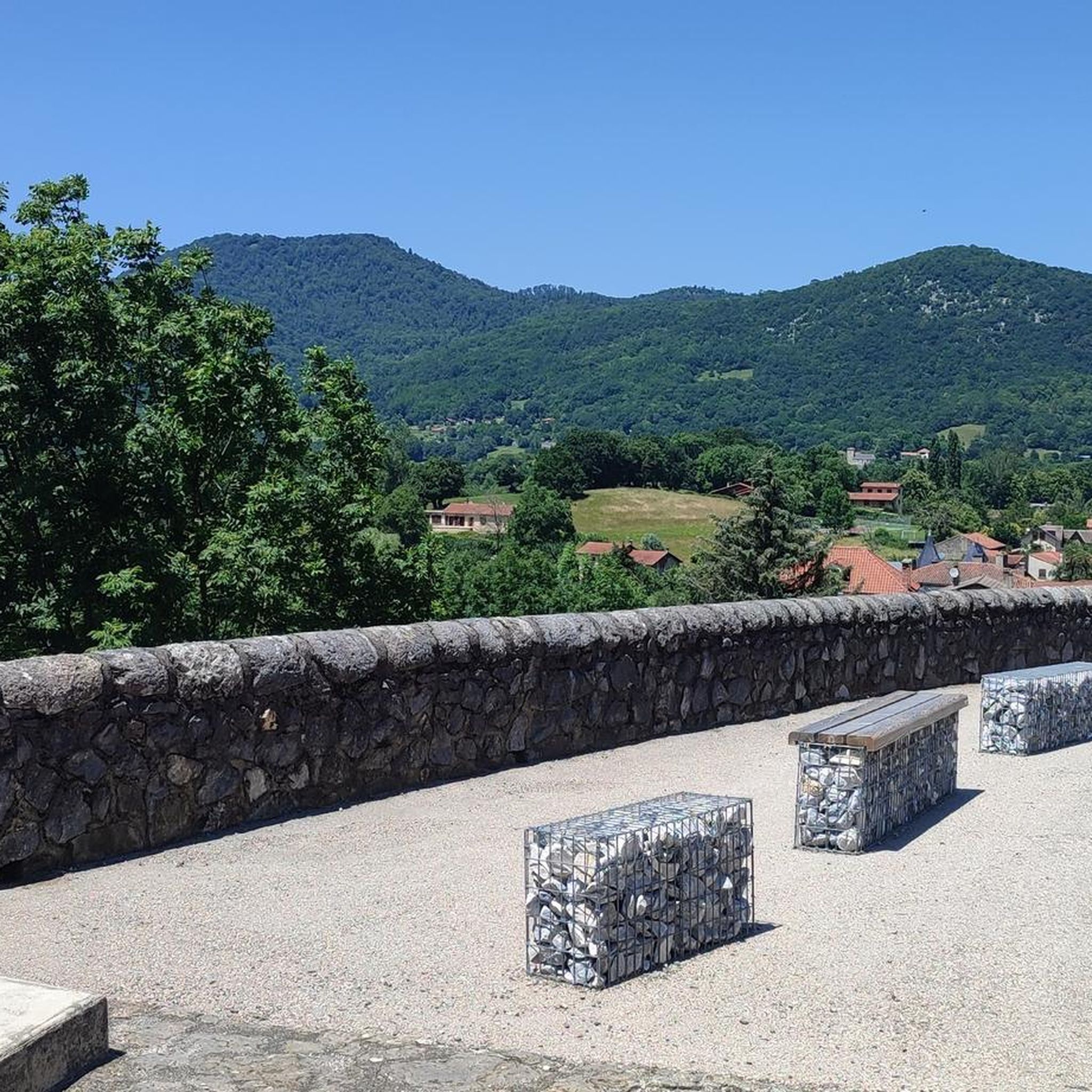
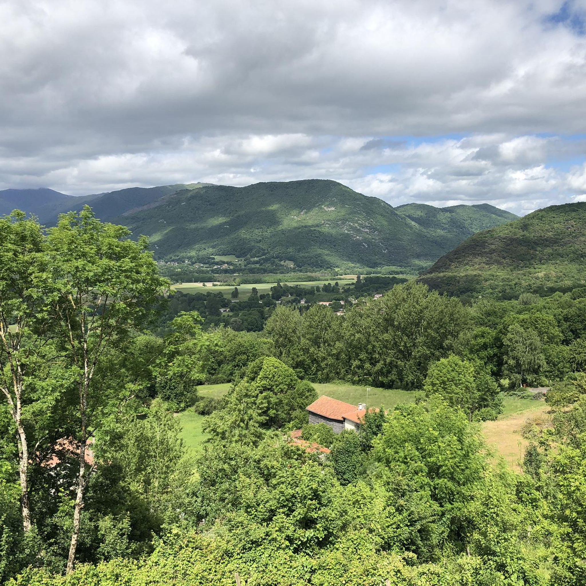
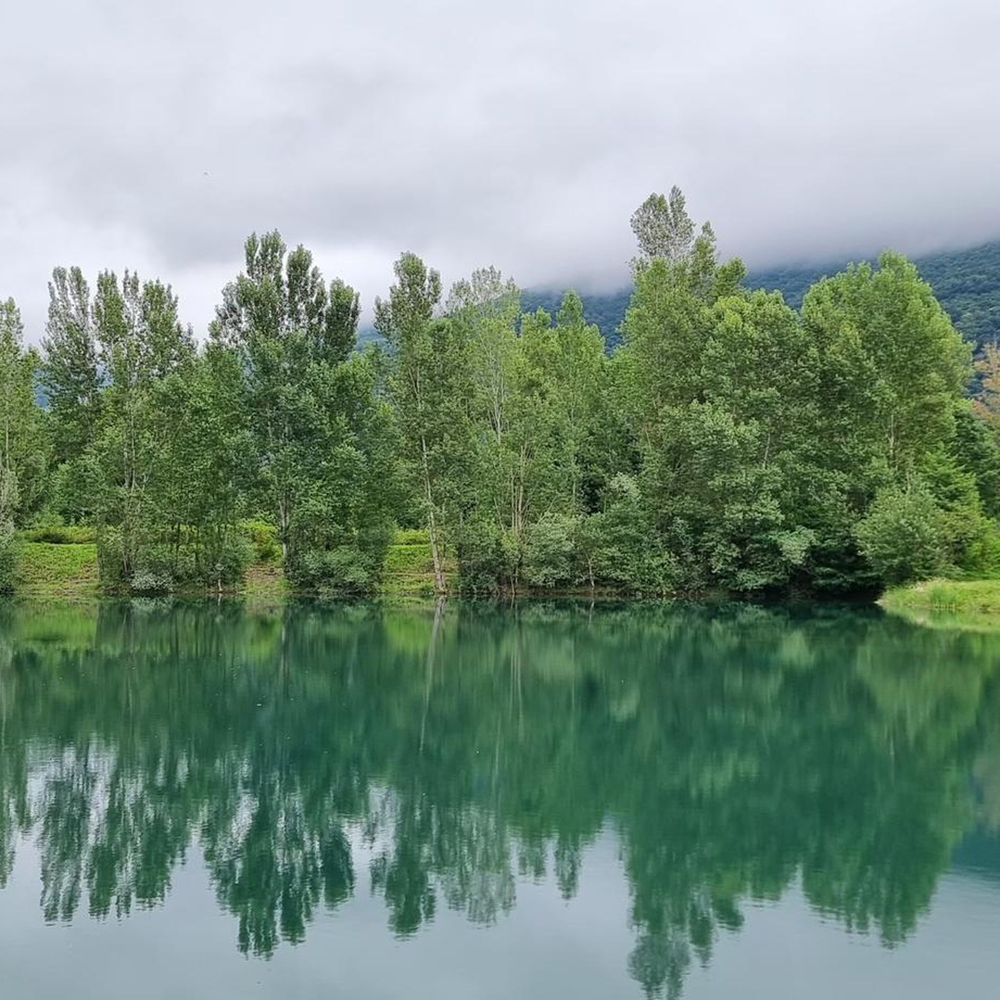
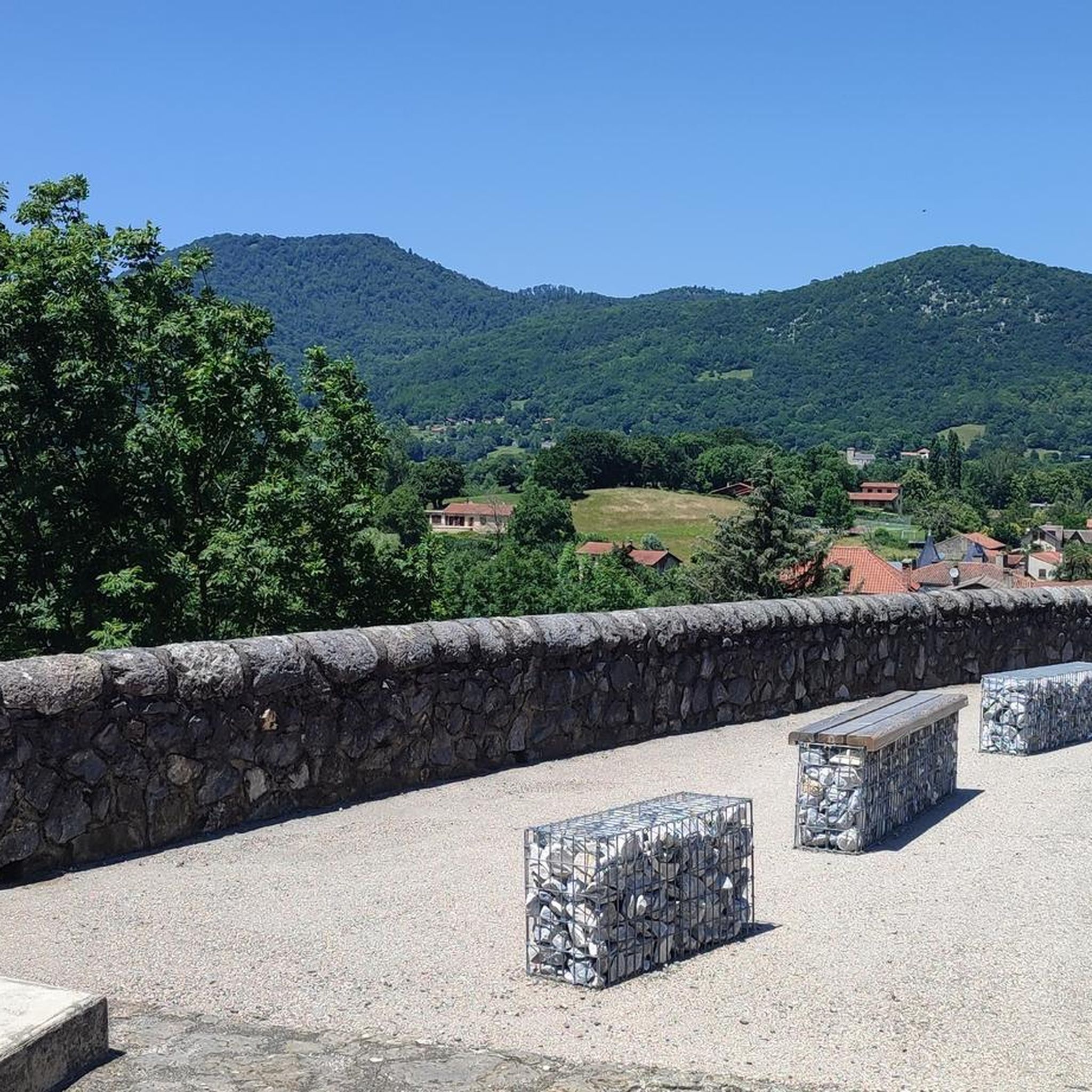


Tips from the Community

A very beautiful summit just before the Pic du Cagire. It offers a very beautiful view of many peaks: Pic de Midi de Bigorre, Aneto, etc. You can also see the Boutx ski resort!
0
0
Very beautiful peak! Magnificent view of the Aneto massif! I recommend it!
0
0

I would like to make hikers aware that this route can become particularly dangerous in winter, particularly because of the ridge towards the Pas de l'Ane which can become covered in ice. In this case, ice axes and mountaineering crampons are essential. 2 people died at this location on 1/1/2025, which triggered access bans. I have taken steps to have these bans lifted while raising awareness in a constructive way. Take the time to find out about the snow conditions before undertaking this hike. Enjoy your walks!
9
1

This is essentially a 14km clockwise loop. The ascent to the peaks is pretty well marked out although I’d always suggest downloading an offline route map. It’s not particularly technical just some simple clambering over a few steep rocky sections before the 1st col (Teyech). I wouldn’t fancy that rocky section if it’s frozen mind you. After the 2 stunning peaks the rest of the loop is a few kms along the ridge before turning down back through the forest. If it’s snowy, you’ll very easily lose the path (i did a lot) so another good reason to download the route.
0
0


Very pleased to have decent walking boots for this hike. There are sections where the path is very rocky, or grassy, or covered with dead leaves. Also good to be reasonably fit, to have a good sense of balance and a head for heights. As always, the effort is worth it. Tour took 5h30 so not too bad.
0
0

This is THE summit of the Comminge. He will surprise more than one by the demands of his ascent.
0
1
Often confused with the Pic du Gar. They are brothers and each will offer you a superb panorama.
0
0
Frequently Asked Questions
What are some of the most notable mountain peaks to visit around Antichan-De-Frontignes?
The region offers access to several elevated points. Among the most prominent are Gar Peak, known for its extensive panoramic views of the Pyrenees, and Pic de Cagire, a significant summit offering views towards St Gaudens. Another option is Pique Poque Summit, which provides views of peaks like Pic de Midi de Bigorre and Aneto.
Are there challenging mountain peaks for experienced hikers near Antichan-De-Frontignes?
Yes, peaks like Gar Peak and Pic de Cagire are considered challenging. The ascent to Gar Peak involves significant elevation gain and rocky sections, while Pic de Cagire is known for its demanding climb, especially the ridge towards Pas de l'Ane, which can be dangerous in winter.
What kind of views can I expect from the mountain peaks in this area?
From peaks like Gar Peak, you can expect extensive panoramic views of the entire Pyrenean mountain range. Pic de Cagire offers views towards St Gaudens, and Pique Poque Summit provides beautiful vistas of other major peaks including Pic de Midi de Bigorre and Aneto.
What is the best time of year to hike the mountain peaks around Antichan-De-Frontignes?
While the guide doesn't specify a single 'best' time, it's important to consider seasonal conditions. Winter hikes, especially to peaks like Pic de Cagire, can be particularly dangerous due to ice and snow, requiring specialized equipment like ice axes and mountaineering crampons. Always check snow conditions before undertaking winter hikes.
Are there any moderate or easy mountain walks near Antichan-De-Frontignes?
Yes, the region offers trails ranging from easy to moderate difficulty. Elevated points like Col des Ares and Mont de Galié are often incorporated into moderate hiking loops that can start from nearby Saint-Pé-d'Ardet, providing scenic walks without the extreme challenge of higher peaks.
What outdoor activities can I do near the mountain peaks around Antichan-De-Frontignes?
The area is ideal for immersing yourself in nature through hiking, with trails ranging from easy to moderate difficulty. You can also find various cycling and running routes. For more details on specific routes, explore the hiking, cycling, and running guides for Antichan-De-Frontignes.
Where can I find hiking routes that include mountain passes like Col des Ares?
The Col des Ares is part of moderate hiking loops, some of which start from Saint-Pé-d'Ardet. These routes offer magnificent views during the climb and serve as transitional points between river valleys. You can find more information on these and other hiking options in the Hiking around Antichan-De-Frontignes guide.
What do visitors appreciate most about the mountain peaks around Antichan-De-Frontignes?
Visitors frequently highlight the rewarding challenge of the ascents and the stunning panoramic views of the Pyrenees from the summits. The opportunity to observe sunrises and sunsets from peaks like Gar Peak is also a popular draw, as is the chance to discover local flora and fauna along the trails.
Are there any specific tips for hiking to Gar Peak?
When hiking to Gar Peak, it's recommended to have decent walking boots due to rocky, grassy, and leaf-covered path sections. The ascent is well-marked but downloading an offline route map is always advisable. The tour typically takes around 5.5 hours for a 14km clockwise loop, which includes some simple clambering over steep rocky sections.
What should I know about hiking to Pic de Cagire in winter?
Hiking to Pic de Cagire in winter can be particularly dangerous, especially the ridge towards Pas de l'Ane, which can become covered in ice. Ice axes and mountaineering crampons are essential in these conditions. Always check current snow conditions before attempting this hike during winter months.
Can I find circular mountain walks in the Antichan-De-Frontignes area?
Yes, the region offers circular routes. For example, the ascent to Gar Peak is essentially a 14km clockwise loop. Other elevated points like Col des Ares and Mont de Galié are also often part of moderate hiking loops, providing opportunities for scenic circular walks.
Most popular routes around Antichan-De-Frontignes
Most popular attractions around Antichan-De-Frontignes

Get inspired with the komoot mobile app


Explore more
See even more amazing summits around Antichan-De-Frontignes with these guides:
