The best running trails around Lavigerie
4.6
(22)
1,673
runners
13
runs
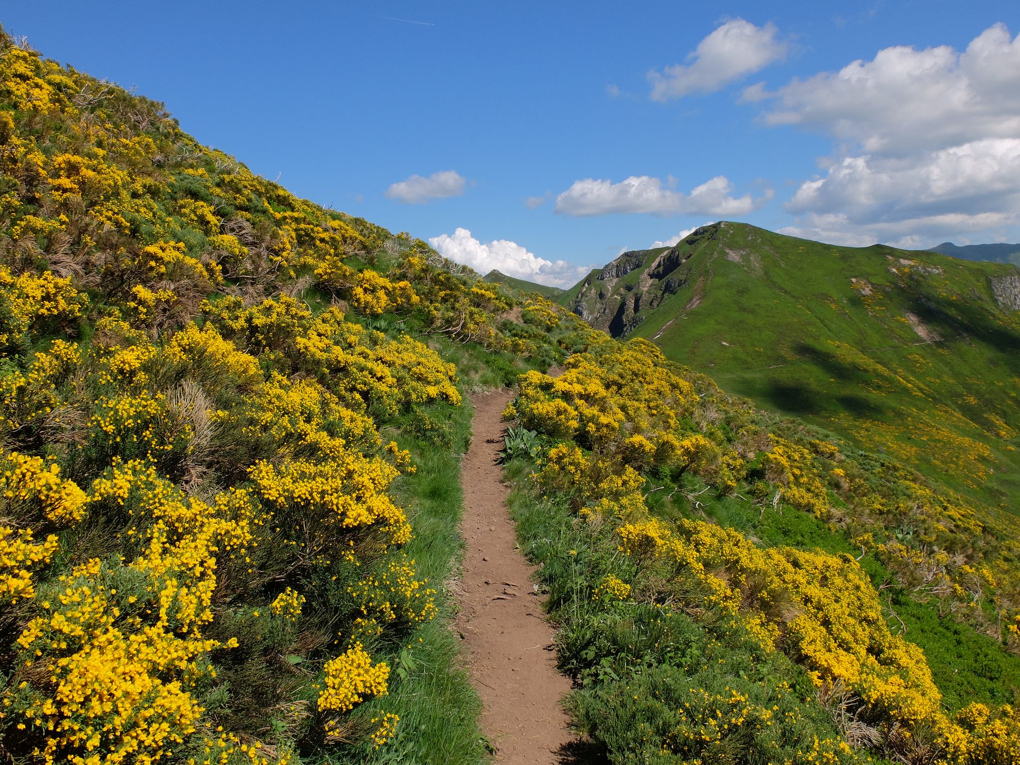
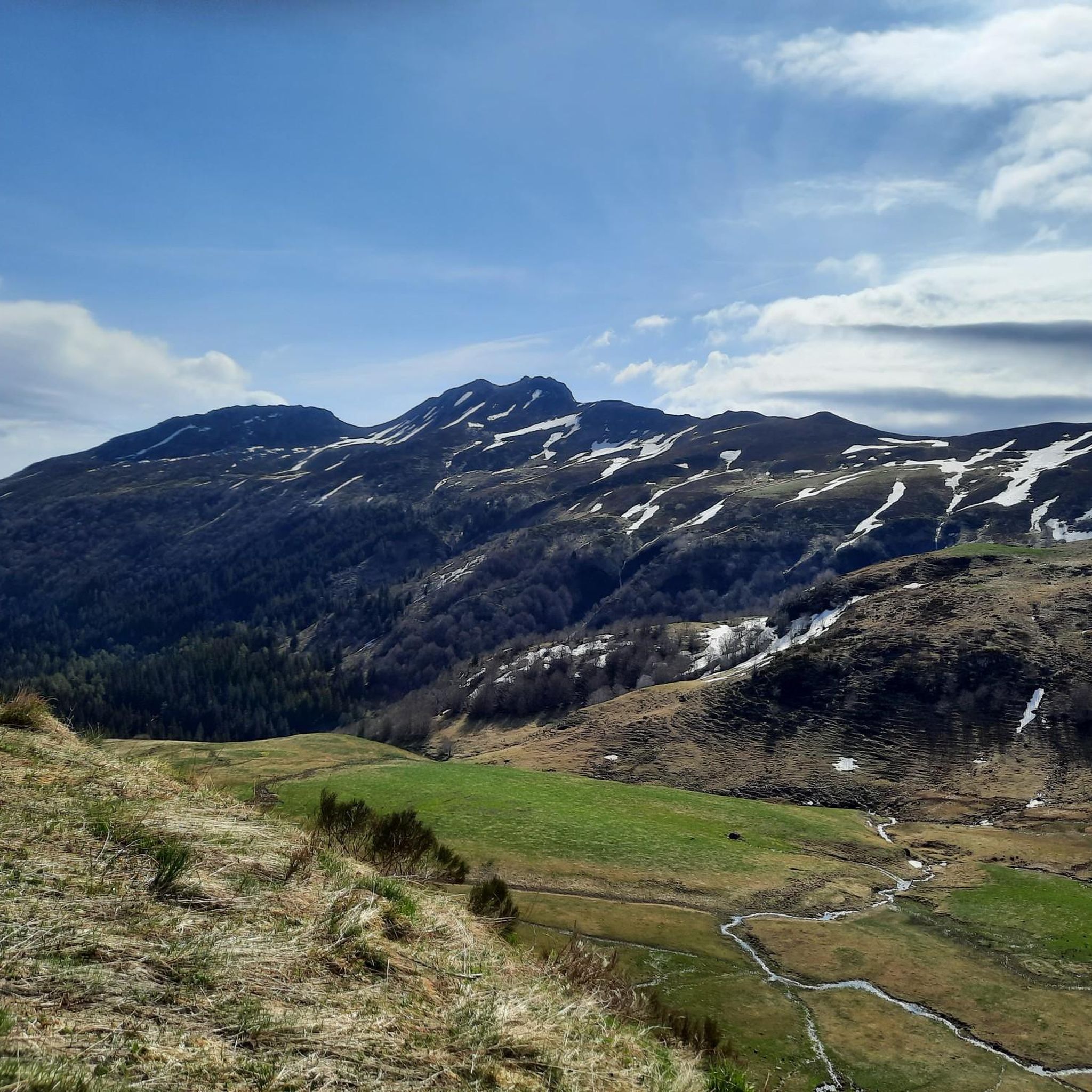
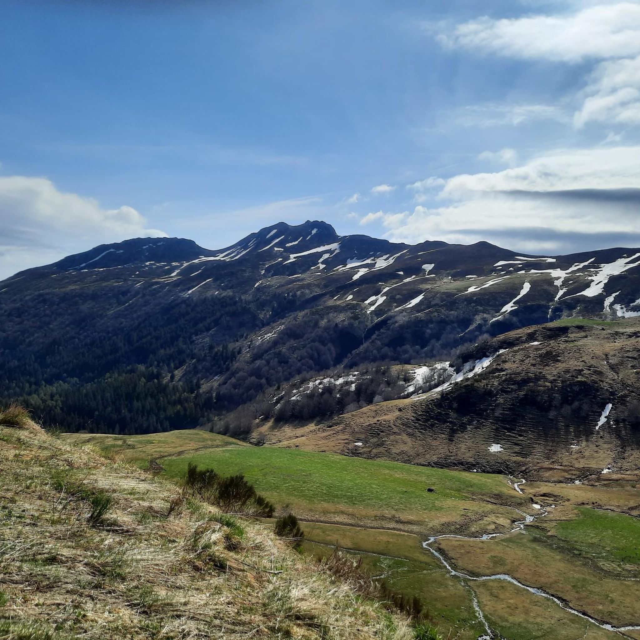
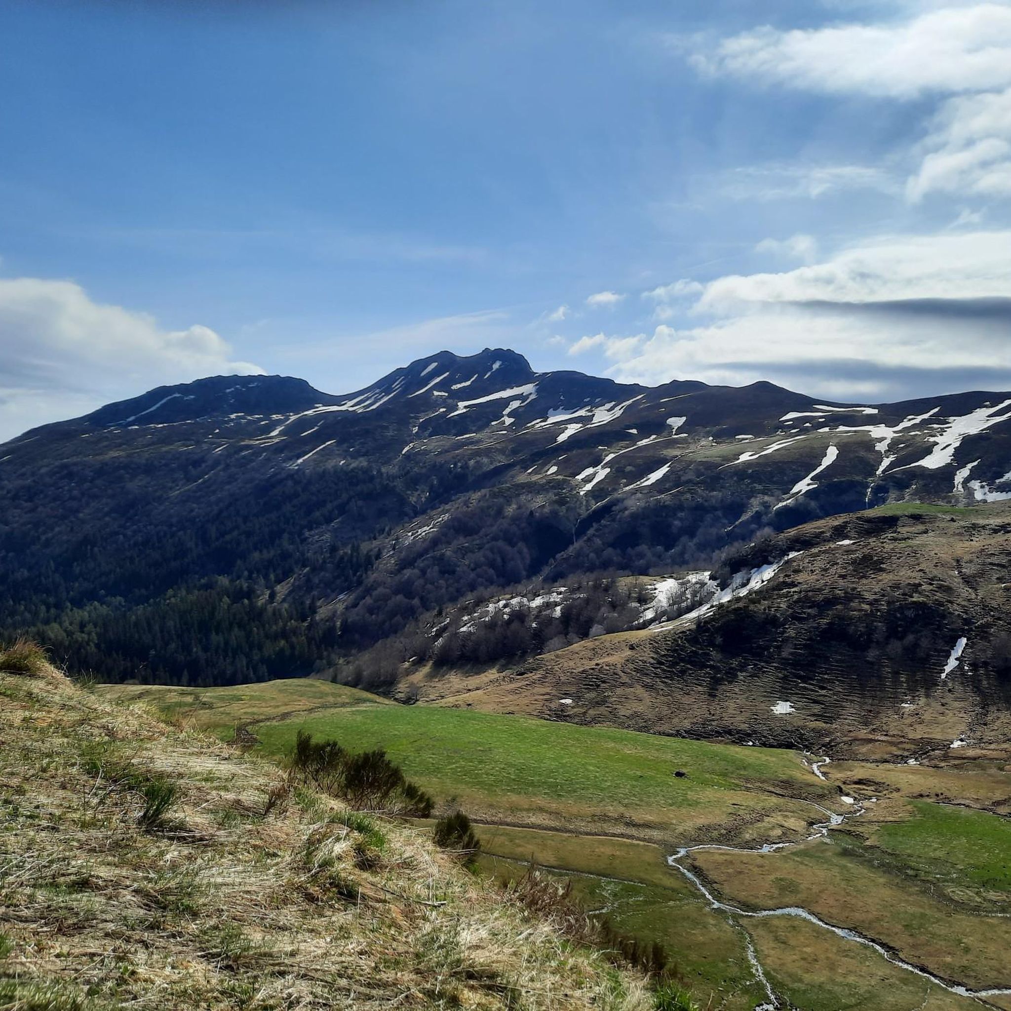
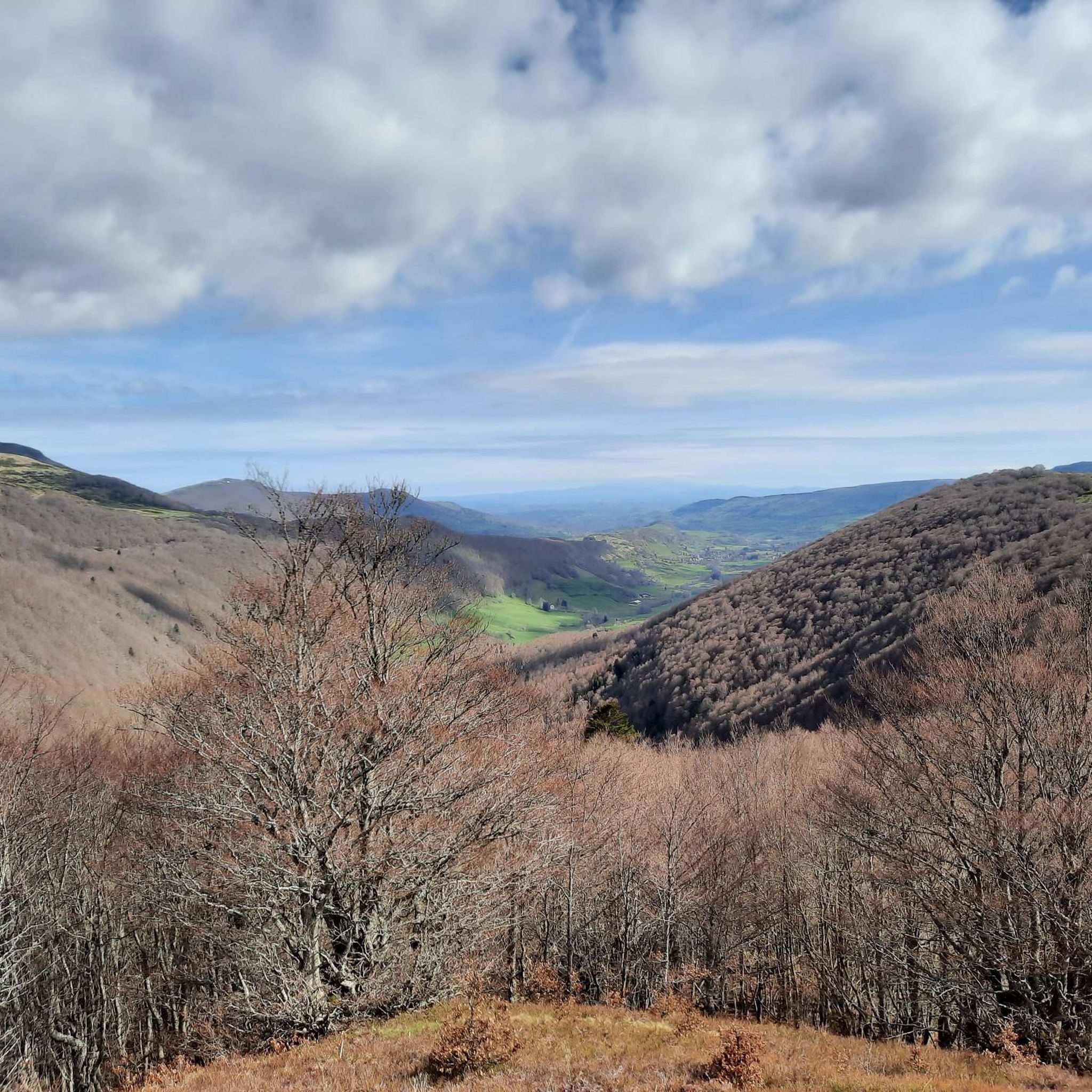
Jogging routes around Lavigerie are set within the Monts du Cantal, part of the Regional Natural Park of the Volcanoes of Auvergne. This region features a varied terrain of volcanic peaks, including Puy Mary and Plomb du Cantal, alongside valleys, forests, and rivers. The landscape offers diverse running experiences, from paths through the Impradine Valley to more challenging ascents around the higher hills.
Best jogging routes around Lavigerie
- The most popular jogging route is Puy Mary and Puy Peyre-Arse via…
Last updated: June 23, 2026
50
runners
9.53km
01:33
500m
500m
This difficult 5.9-mile (9.5 km) jogging loop offers panoramic views of the Parc naturel régional des Volcans d'Auvergne.
28
runners
10.6km
01:29
430m
430m
Jog Les Chamois Trail, a difficult 6.6-mile route in Parc naturel régional des Volcans d'Auvergne, featuring Puy Mary Summit views.

Sign up for free
4
runners
5.52km
00:40
130m
130m
Jog this moderate 3.4-mile loop through the scenic Impradine Valley in Auvergne Volcanoes Regional Nature Park, taking about 39 minutes.
39
runners
12.9km
02:02
610m
610m
Hard run. Very good fitness required. Sure-footedness, sturdy shoes and alpine experience required.
5.0
(1)
44
runners
17.5km
02:33
640m
640m
Hard run. Very good fitness required. Sure-footedness, sturdy shoes and alpine experience required.
Get access to more routes and recommendations from other explorers.
Sign up for free
Already have an account?
Our route recommendations are based on thousands of hikes, rides, and runs completed by other people on komoot.
Start today with a free account
Your next adventure awaits.
Login or Signup

Other adventures around Lavigerie

Tips from the Community

Superb and eating at the buron moved
0
0

A beautiful, partly shady climb from Claux to the pass. Then the real challenge begins at Puy Mary.
0
0

The Rolland Breach was mildly challenging for this 72yo when dry. Descending in the wet would need good grippy footwear. There is an alternative GR400 track bypass
0
0


The route takes you through incredibly beautiful scenery as you head up the valley.
1
0

Here begin the characteristic steps that allow access to the Puy Mary. The result is a beautiful perspective of this emblematic summit of the Cantal mountains.
1
0
Frequently Asked Questions
How many running routes are available around Lavigerie?
Lavigerie offers a diverse selection of over 10 dedicated running routes. These trails cater to various preferences, ranging from moderate valley paths to challenging climbs around volcanic peaks.
What kind of terrain can I expect on the jogging trails in Lavigerie?
The terrain around Lavigerie is highly varied, reflecting its location in the Monts du Cantal. You'll find paths through scenic valleys like the Impradine, alongside more demanding ascents on volcanic peaks such as Puy Mary and Plomb du Cantal. The landscape includes forests, rivers, and traditional burons, offering a mix of surfaces and elevations.
Are there any easy or beginner-friendly running routes in Lavigerie?
While many routes in Lavigerie are challenging, there are options for less experienced runners. For example, the Impradine Valley Trail is a moderate 3.4-mile (5.5 km) path that provides a scenic and less strenuous running experience through the valley.
What are some of the more challenging running routes for advanced runners?
Advanced runners seeking a challenge will find several difficult routes. The Puy Mary and Puy Peyre-Arse via Brèche de Roland Loop is a difficult 5.9-mile (9.5 km) trail with significant elevation gain. Another demanding option is the Les Chamois Trail, a difficult 6.6-mile (10.6 km) path with varied mountainous terrain.
Are there any circular running routes around Lavigerie?
Yes, many of the running routes in Lavigerie are circular, allowing you to start and finish at the same point. Examples include the challenging Puy Mary and Puy Peyre-Arse via Brèche de Roland Loop and the longer Buron d'Eylac – Col de Serres loop.
What is the best time of year for jogging in Lavigerie?
The Monts du Cantal region offers beautiful running conditions from spring through autumn. Summer provides warm weather for exploring, while spring and autumn offer cooler temperatures and vibrant scenery. Winter can be challenging due to snow, especially at higher elevations, though snowshoeing is popular then.
Are there any viewpoints or scenic spots along the running routes?
Absolutely! The region is known for its stunning panoramic views. Routes often pass by or ascend to iconic peaks like Puy Mary Summit and Puy Peyre-Arse, offering breathtaking vistas of the volcanic massif and surrounding valleys.
What do other runners say about the jogging routes in Lavigerie?
The running routes in Lavigerie are highly regarded by the komoot community, with an average score of 4.6 stars from over 25 reviews. Runners frequently praise the diverse terrain, the stunning natural beauty of the Monts du Cantal, and the rewarding challenges offered by the trails.
Are there any amenities like cafes or shelters near the running trails?
Yes, you can find amenities along some routes. Traditional stone dwellings called burons, once used by cattle farmers, are scattered throughout the mountains. Some have been repurposed into eateries or shelters, such as the Buron d'Eylac Refuge, which offers local delicacies and a place to rest.
Can I find parking near the jogging trails in Lavigerie?
Parking is generally available at common starting points for trails, especially near popular areas like the Impradine Valley or access points to the higher peaks. Specific parking information can often be found on individual route descriptions or local tourist information sites.
Are there any family-friendly jogging options in the Lavigerie area?
While many routes involve significant elevation, some sections or shorter trails can be suitable for families. The Impradine Valley Trail, being moderate and shorter, might be a good option for families looking for a less strenuous run amidst beautiful scenery.
What natural features or landmarks can I see while running in Lavigerie?
Jogging in Lavigerie offers a chance to experience the unique volcanic landscapes of the Regional Natural Park of the Volcanoes of Auvergne. You'll encounter iconic peaks like Puy Mary Summit and Plomb du Cantal, deep valleys, forests, and traditional burons. The Glacial Cirque of Eylac also provides a stunning backdrop.
Most popular routes around Lavigerie
Most popular attractions around Lavigerie

Get inspired with the komoot mobile app


Explore more
Browse the best Running Trails & Routes in other regions.
