The best walks and hikes around Montigny-Les-Monts
4.6
(38)
174
hikers
36
hikes
Hiking around Montigny-Les-Monts offers routes through a landscape characterized by gently rolling terrain and open fields. The region features varied paths, often forming circular routes that start and end in local villages. Elevation changes are generally moderate, making the area accessible for a range of hiking abilities.
Best hiking trails around Montigny-Les-Monts
- The most popular hiking route is On the way after the starting point – Beautiful camping loop from Eaux-Puiseaux, a 3.6 miles (5.8 km) trail that takes…
Last updated: July 4, 2026
4.0
(2)
9
hikers
5.77km
01:34
80m
80m
Easy hike. Great for any fitness level. Easily-accessible paths. Suitable for all skill levels.
4.0
(3)
5
hikers
12.4km
03:21
180m
180m
Moderate hike. Good fitness required. Easily-accessible paths. Suitable for all skill levels.

Sign up for free
5.0
(1)
4
hikers
12.0km
03:16
170m
170m
Moderate hike. Good fitness required. Easily-accessible paths. Suitable for all skill levels.
5.0
(1)
3
hikers
5.61km
01:33
100m
100m
Easy hike. Great for any fitness level. Easily-accessible paths. Suitable for all skill levels.
1
hikers
3.88km
01:00
20m
20m
Easy hike. Great for any fitness level. Easily-accessible paths. Suitable for all skill levels.
Get access to more routes and recommendations from other explorers.
Sign up for free
Already have an account?
Our route recommendations are based on thousands of hikes, rides, and runs completed by other people on komoot.
Start today with a free account
Your next adventure awaits.
Login or Signup


Tips from the Community

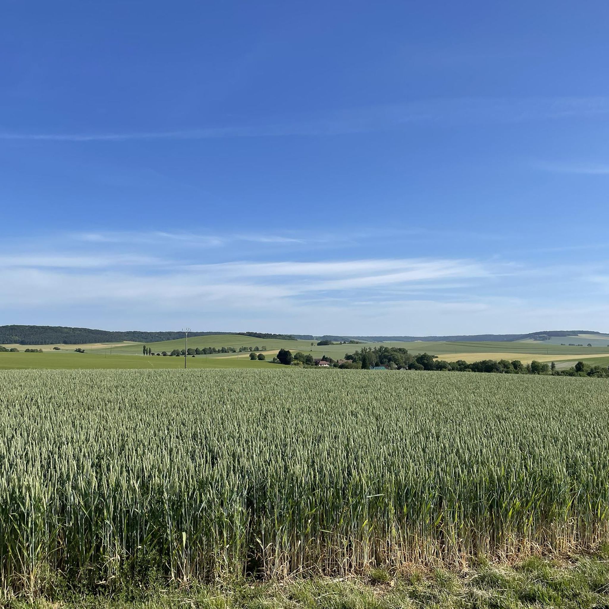
Here you cycle through flowery fields. The path is easy so let yourself be surprised by the view.
0
0
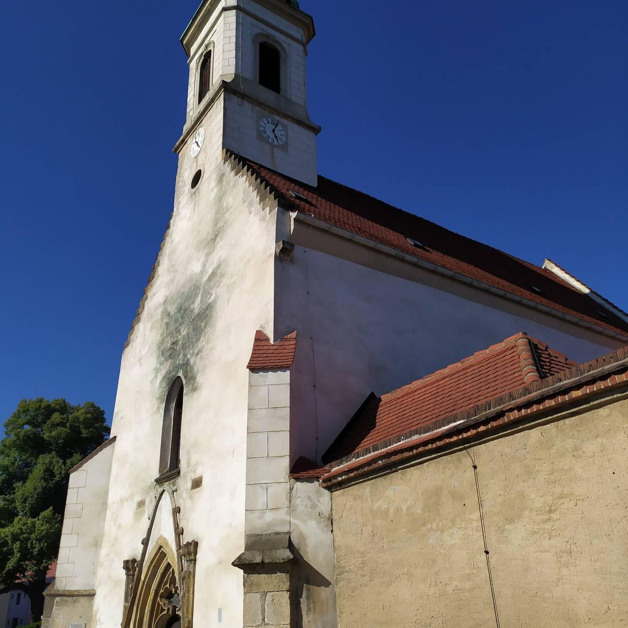
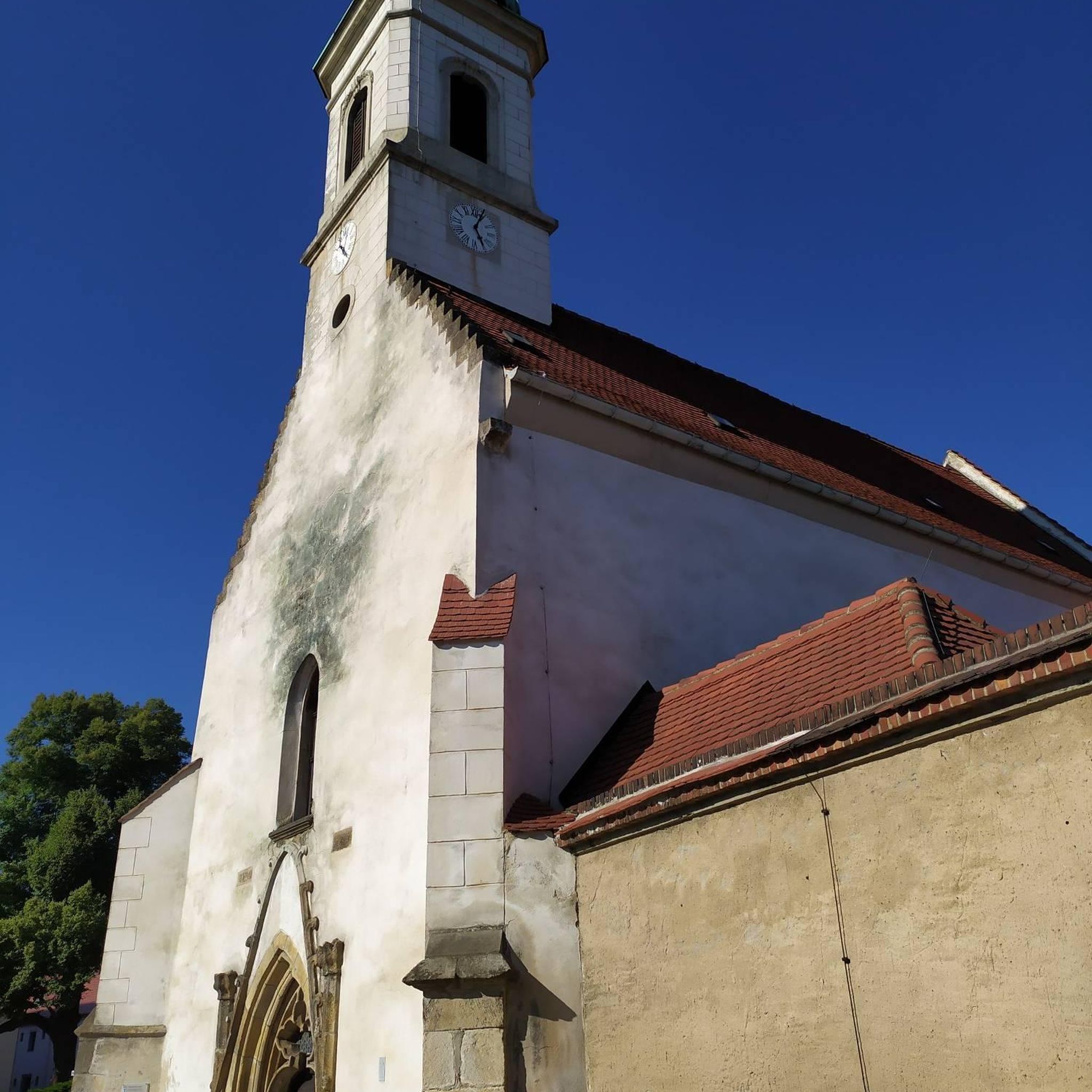
Eaux-Puiseaux is located in the heart of the Pays d’Othe. Its Saint-Pierre-ès-Liens church, dating from the 16th century, houses remarkable furniture. The surrounding forests and trails offer a perfect setting for cycling.
0
0
Frequently Asked Questions
How many hiking trails are available in Montigny-Les-Monts?
Montigny-Les-Monts offers a good selection of routes, with over 25 hiking trails to explore. These range in difficulty from easy to difficult, catering to various experience levels.
Are there easy hiking trails suitable for beginners in Montigny-Les-Monts?
Yes, Montigny-Les-Monts is very welcoming for beginners, with 11 easy routes available. A great option is the On the way after the starting point – Beautiful camping loop from Eaux-Puiseaux, which is 3.6 miles (5.8 km) long and offers a pleasant, gentle walk.
Are there any challenging hikes for experienced hikers in the area?
While the terrain is generally gently rolling, there is 1 difficult route available for those seeking a more strenuous experience. Most routes are moderate, providing a good balance of distance and elevation.
What is the typical length of hikes in Montigny-Les-Monts?
Hikes in Montigny-Les-Monts vary in length. You can find shorter routes like the 1.1-mile (1.7 km) Beautiful camping – Eaux-Puiseaux loop from Eaux-Puiseaux, or longer options such as the 7.7-mile (12.4 km) Beautiful camping – Eaux-Puiseaux loop from Eaux-Puiseaux, allowing you to choose based on your preference and available time.
Are there circular walks available in Montigny-Les-Monts?
Yes, many of the paths in Montigny-Les-Monts are designed as circular routes, often starting and ending in local villages. This makes planning your hike convenient, as you typically return to your starting point.
What do other hikers enjoy most about hiking in Montigny-Les-Monts?
The komoot community highly rates the hiking experience in Montigny-Les-Monts, with an average score of 4.8 stars from over 20 reviews. Hikers often praise the varied paths through open fields and the moderate elevation changes, which make the area accessible and enjoyable for different abilities.
Are there any interesting landmarks or places to see along the hiking trails?
Yes, the region around Montigny-Les-Monts offers several points of interest. You can explore historical sites like the Ervy-le-Châtel Highlights, which include a circular market hall, chapel, and feudal motte. The Ervy-le-Châtel Market Hall is also a notable historical site.
Are there any viewpoints to enjoy scenic vistas?
While the terrain is gently rolling, you can find spots offering good views. One notable viewpoint is the Descent/ascent on/from Sommeval, which provides a perspective over the landscape.
Is Montigny-Les-Monts suitable for family-friendly hikes?
Absolutely. The region's generally moderate elevation changes and numerous easy, circular routes make it ideal for families. Many trails offer pleasant walks through fields, suitable for children and those looking for a relaxed outing.
Are dogs allowed on the hiking trails in Montigny-Les-Monts?
Generally, dogs are welcome on hiking trails in the Montigny-Les-Monts area. However, it's always advisable to keep them on a leash, especially when passing through agricultural areas or near livestock, and to check for any specific local regulations or signage on individual routes.
What is the best time of year to go hiking in Montigny-Les-Monts?
The gently rolling terrain and open fields of Montigny-Les-Monts are enjoyable throughout the spring, summer, and autumn months. Spring brings blooming wildflowers, summer offers warm weather for longer days, and autumn provides beautiful colors. Winter hiking is also possible, though conditions may vary.
Where can I find parking for hiking trails in Montigny-Les-Monts?
Many of the circular routes in Montigny-Les-Monts start and end in local villages, such as Eaux-Puiseaux. You can typically find parking available in or near these villages, often close to the trailhead, making access convenient for hikers.
Are there any cafes or places to eat near the hiking trails?
While specific cafes directly on trails are rare, the routes often pass through or near local villages. These villages are good places to find small shops or eateries where you can refuel before or after your hike.
Most popular routes around Montigny-Les-Monts
Most popular attractions around Montigny-Les-Monts

Get inspired with the komoot mobile app


Explore more
Browse the best Hikes in other regions.
