The best walks and hikes around Saint-Plancard
4.7
(30)
290
hikers
29
hikes
Hiking around Saint-Plancard offers varied terrain characterized by rolling hills and extensive woodlands, including notable arboretums. The landscape features gentle elevation changes, making it accessible for different activity levels. Trails often traverse forested areas and open countryside, providing a mix of natural environments. The region's physical features support a network of paths suitable for exploration.
Best hiking trails around Saint-Plancard
- The most popular hiking route is Cardeilhac Arboretum – Arboretum loop from Arboretum de Cardeilhac, a 5.0 miles (8.1…
Last updated: July 4, 2026
4.5
(2)
25
hikers
Moderate hike. Good fitness required. Easily-accessible paths. Suitable for all skill levels.
5.0
(3)
11
hikers
7.66km
01:58
30m
30m
Easy hike. Great for any fitness level. Easily-accessible paths. Suitable for all skill levels.

Sign up for free
4.0
(1)
7
hikers
11.9km
03:16
190m
190m
Moderate hike. Good fitness required. Easily-accessible paths. Suitable for all skill levels.
6
hikers
7.13km
02:01
160m
160m
Moderate hike. Good fitness required. Easily-accessible paths. Suitable for all skill levels.
5.0
(2)
3
hikers
20.2km
05:40
400m
400m
Hard hike. Very good fitness required. Easily-accessible paths. Suitable for all skill levels.
Get access to more routes and recommendations from other explorers.
Sign up for free
Already have an account?
Our route recommendations are based on thousands of hikes, rides, and runs completed by other people on komoot.
Start today with a free account
Your next adventure awaits.
Login or Signup



Tips from the Community

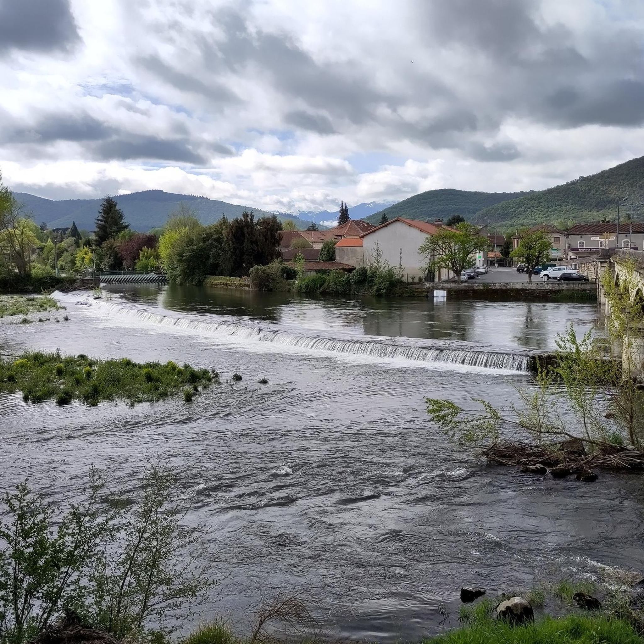
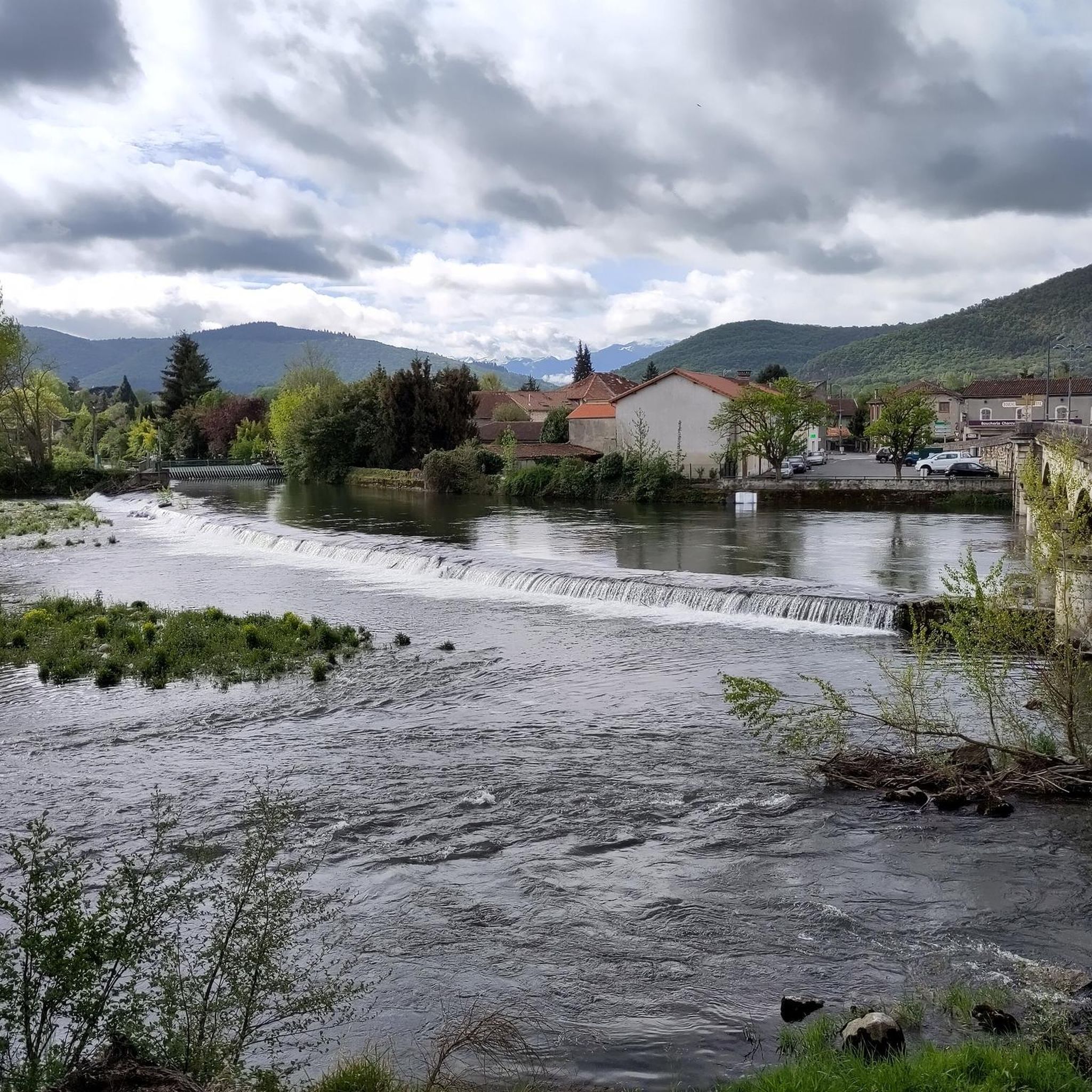
Very pleasant place, whether for a short stroll, or a long hike on foot, by bike, or on horseback. 1000 hectares of woods covered with kilometers of paths, the GR 86, mountain bike circuits and crossed by the canal from Franquevielle to Cardeilhac.
0
0

Frequently Asked Questions
How many hiking trails are there around Saint-Plancard?
There are over 30 hiking trails available around Saint-Plancard, offering a variety of experiences through its rolling hills and woodlands. The komoot community has explored these routes over 270 times.
Are there easy hiking trails suitable for beginners in Saint-Plancard?
Yes, Saint-Plancard offers a good selection of easy trails. There are 16 routes classified as easy, perfect for beginners or those looking for a relaxed walk. An example is the Arboretum – Cardeilhac Arboretum loop from Chêne de l'Houmagne, which is 4.8 miles (7.7 km) long and takes about 2 hours.
What kind of terrain can I expect on hikes in Saint-Plancard?
The terrain around Saint-Plancard is characterized by rolling hills and extensive woodlands, including notable arboretums. Trails often traverse forested areas and open countryside, with gentle elevation changes suitable for various activity levels.
Are there any circular walks available in the area?
Many of the trails around Saint-Plancard are designed as circular routes, allowing you to start and end at the same point. For instance, the popular Cardeilhac Arboretum – Arboretum loop from Arboretum de Cardeilhac is a great circular option exploring the arboretum.
What do other hikers say about the trails in Saint-Plancard?
The trails in Saint-Plancard are highly regarded by the komoot community, with an average rating of 4.7 stars from nearly 30 reviews. Hikers often praise the quiet woodlands, well-maintained paths, and the peaceful atmosphere of the arboretum routes.
Are there any trails with good viewpoints?
Yes, some trails offer scenic views of the surrounding countryside. The Abri d'Arcas loop from Montmaurin, for example, features varied terrain with some elevation gain that provides rewarding vistas.
What is the best time of year to go hiking in Saint-Plancard?
The best time to hike in Saint-Plancard is generally during spring, summer, and autumn. Spring brings blooming flora, summer offers lush greenery, and autumn showcases beautiful fall colors in the woodlands. The gentle terrain makes it enjoyable across these seasons.
Are there any attractions or landmarks to see near the hiking trails?
Yes, there are several interesting spots. You can explore the Franquevielle Canal from the Cardeilhac Arboretum or visit the historic Gargas Cave, which is a significant local attraction. These can be combined with your hiking plans.
Are the hiking trails in Saint-Plancard suitable for families with children?
Many of the trails, especially the easy and moderate ones that traverse the arboretums and woodlands, are suitable for families. The relatively gentle elevation changes make them accessible for children. Consider routes like the Arboretum – Cardeilhac Arboretum loop from Chêne de l'Houmagne for a family-friendly outing.
Is there parking available at the trailheads?
While specific parking details for every trailhead are not listed, popular starting points like the Arboretum de Cardeilhac typically offer designated parking areas for visitors. It's advisable to check the route details on komoot for specific parking information before you go.
Can I bring my dog on the hiking trails in Saint-Plancard?
Generally, dogs are welcome on many trails in the Saint-Plancard region, especially in natural areas and woodlands. However, it's always recommended to keep them on a leash and respect local signage, particularly in protected areas or near agricultural land. Always ensure your dog is well-behaved and that you clean up after them.
What is the typical duration for a hike in this region?
Hike durations in Saint-Plancard vary depending on the trail's length and difficulty. Many popular routes, such as the Hiking loop from La Gardèle, can take around 3 to 4 hours to complete. Shorter, easier walks are also available, lasting closer to 2 hours.
Most popular routes around Saint-Plancard
Most popular attractions around Saint-Plancard

Get inspired with the komoot mobile app


Explore more
Browse the best Hikes in other regions.
