Top 9 Mountain Passes around Les Mujouls
Mountain passes near Les Mujouls are situated in the Alpes-Maritimes department of southeastern France, characterized by mountainous terrain with elevations ranging from 518 to 1,416 meters. The commune is surrounded by preserved natural pine woodlands and offers views of the Charamel mountain and the clues (gorges) of Mujouls. This region provides a setting for exploring various mountain passes and natural features.
Best mountain passes around Les Mujouls
- The most popular mountain pass is Castellaras Pass, a mountain pass that…
Last updated: June 26, 2026
Col de Pinpinier
Highlight • Mountain Pass
Translated by Google •
Tip by

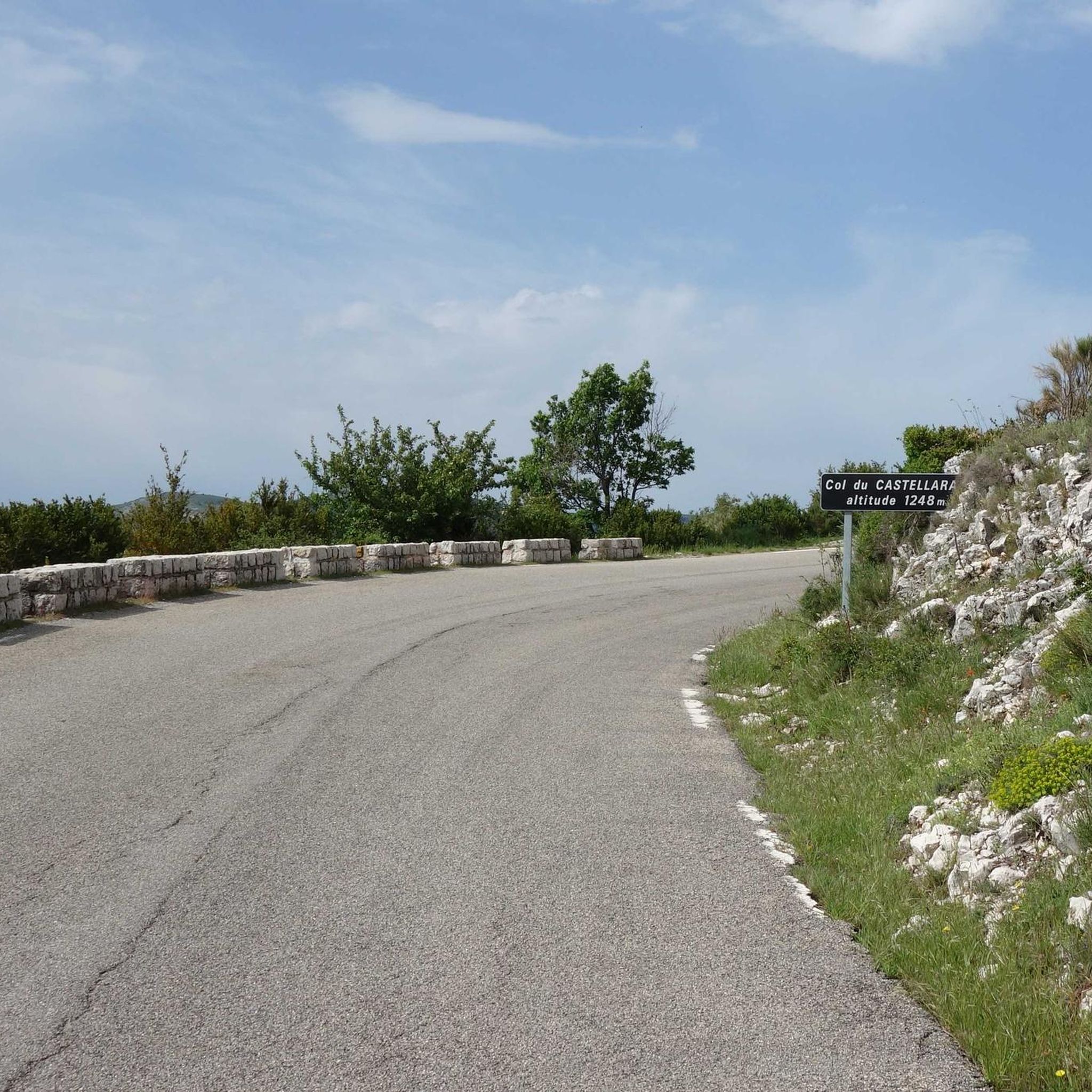
Castellaras Pass
Highlight • Mountain Pass
Translated by Google •
Tip by
Sign up now to discover places like this
Get recommendations on the best single tracks, peaks, & plenty of other exciting outdoor places.
Sign up for free
Col du Buis
Highlight • Mountain Pass
Translated by Google •
Tip by

Col de Bleine
Highlight • Mountain Pass
Translated by Google •
Tip by

Col de Félines (930 m)
Highlight • Mountain Pass
Translated by Google •
Tip by
Sign up for free to discover even more mountain passes around Les Mujouls.
Sign up for free
Already have an account?
Start today with a free account
Your next adventure awaits.
Login or Signup
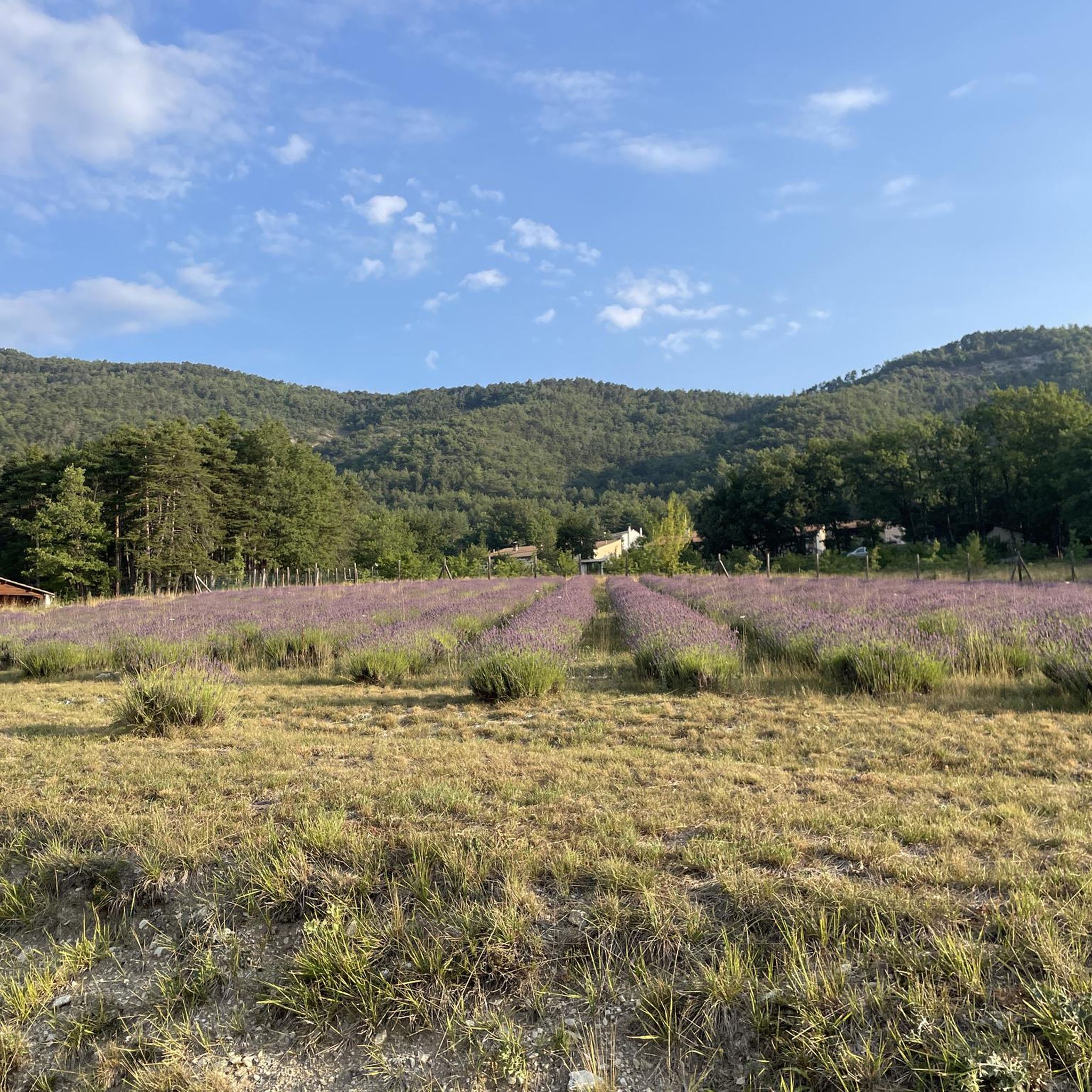
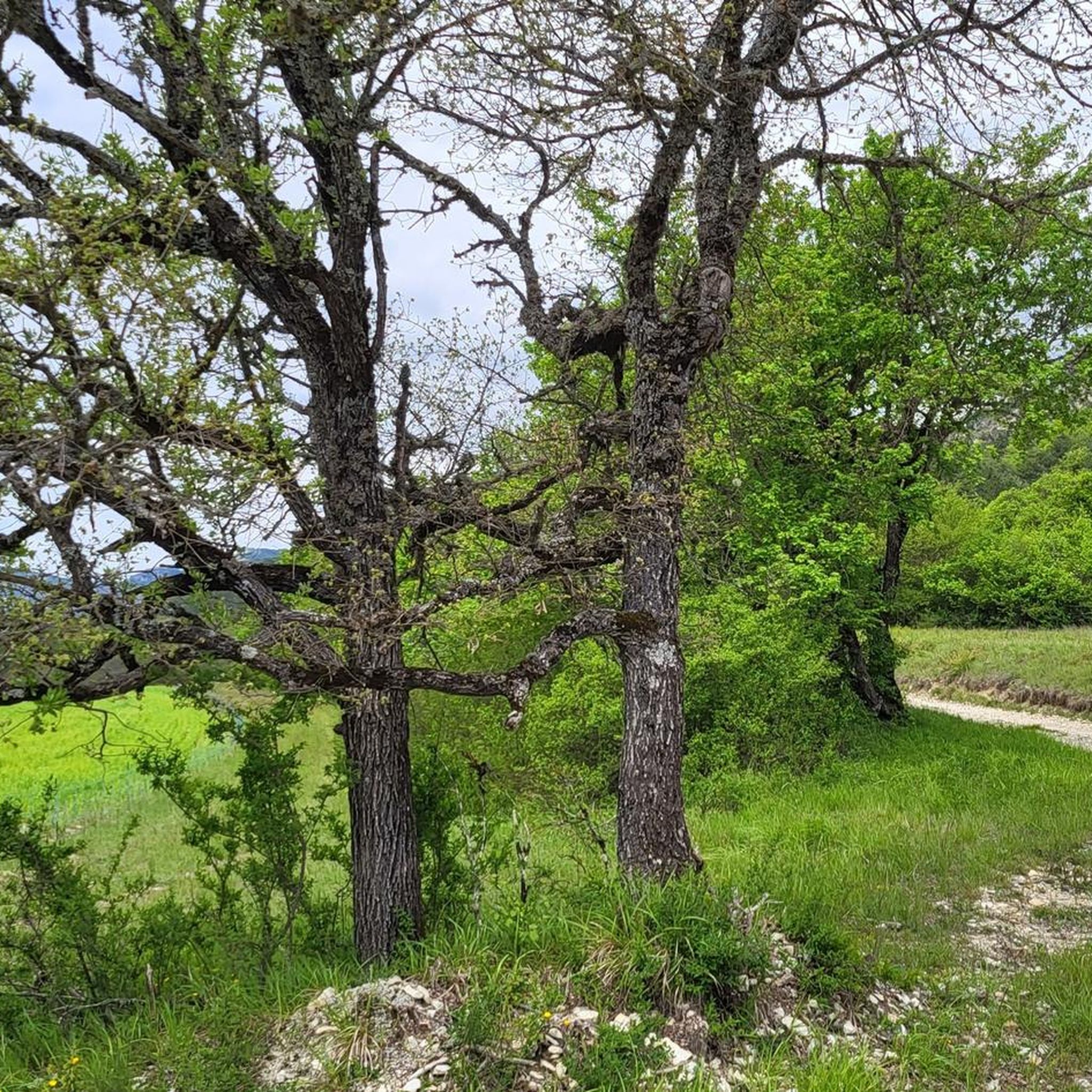
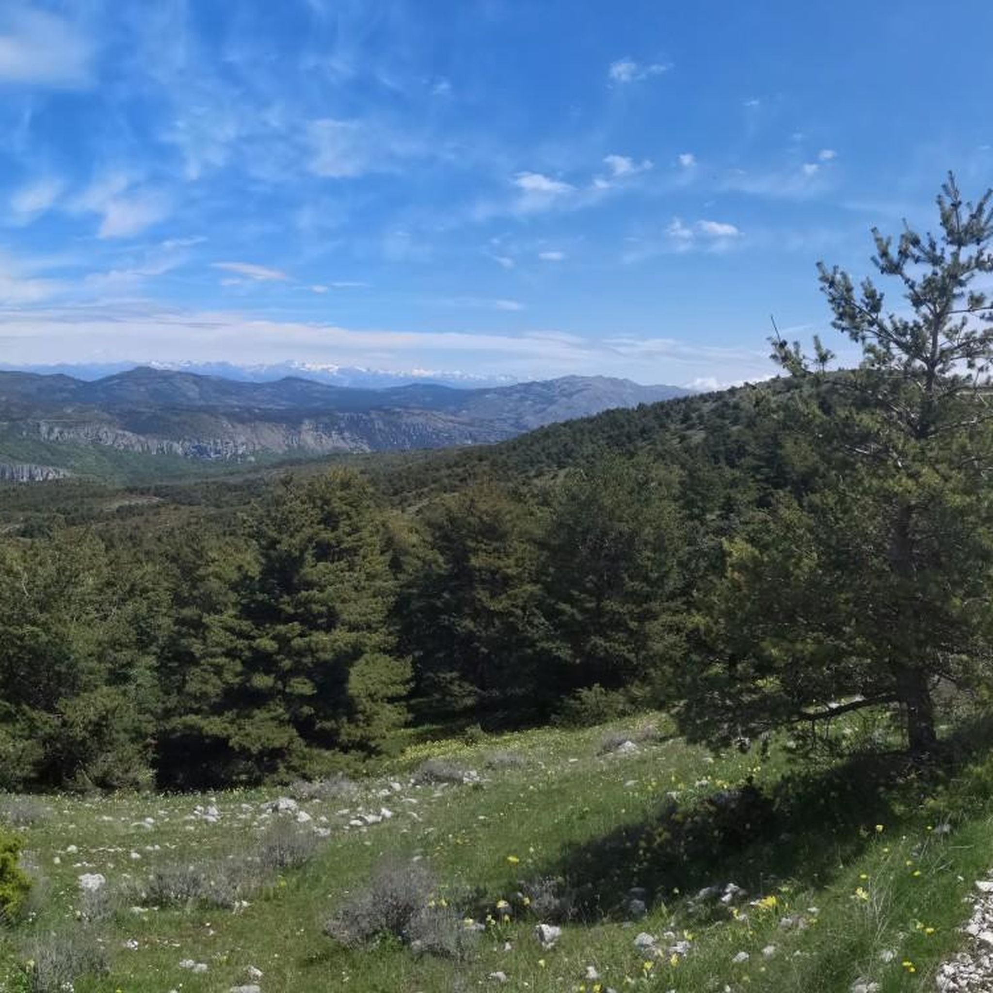
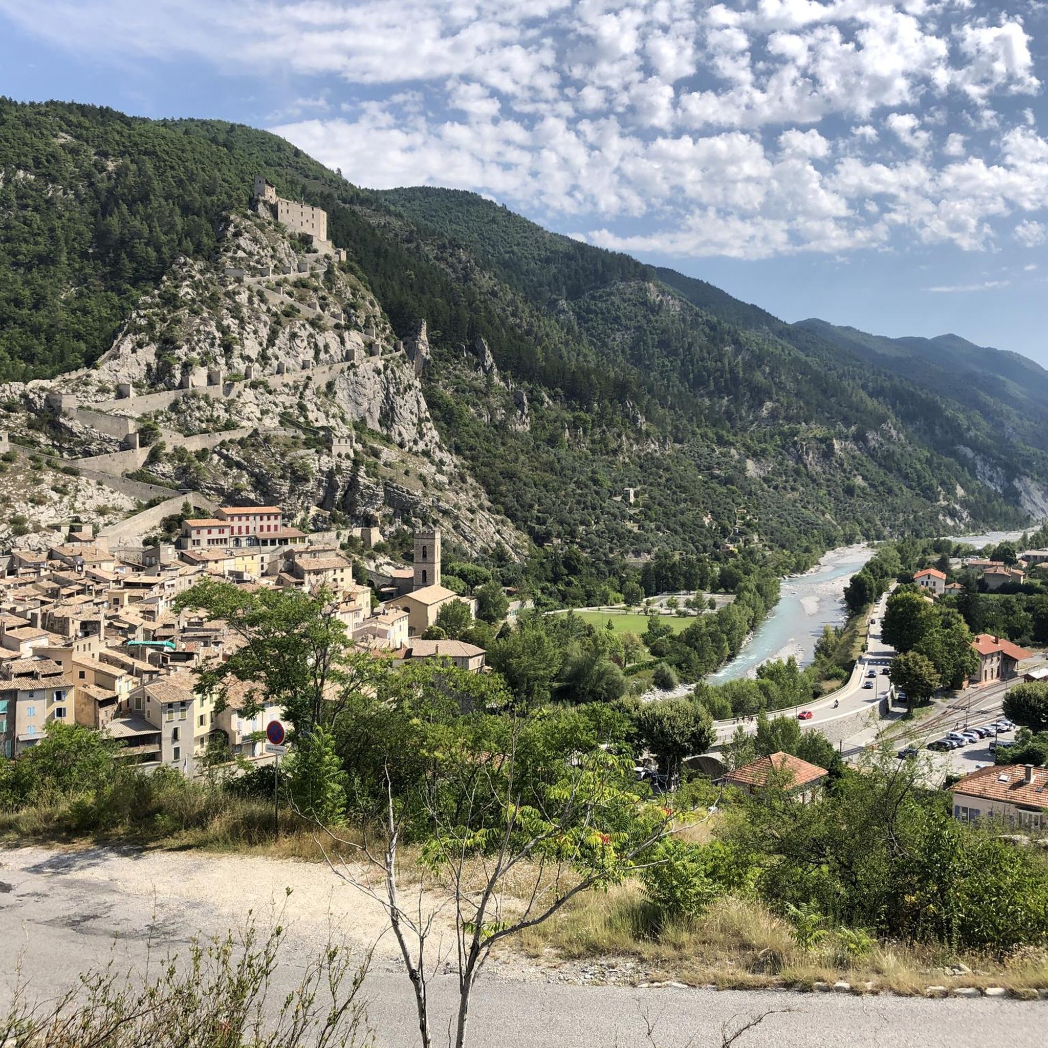

Tips from the Community

Very technical downhill road, the asphalt is in excellent condition.
19
0
The climb is easy, the asphalt is in excellent condition and there is little traffic.
19
0
A hill not too difficult to climb with panoramic stretches. Asphalt in excellent condition.
16
0

The Col du Buis, culminating at 1196 m, was a mule pass which was paved in the early 2000s and it must be believed that the DDE services did not look for an alternative to soften the slope, especially on the North side. from the hamlets of la Serre and les Venières. Because the pass simply displays an average of 10.6% over almost 4km, with ramps climbing to 17-18%! As much to say to you that you will pass the 4kms which will appear among the longest of your life... It is a really hard climb, which offers little respite. It is difficult to appreciate the landscape of this small wild pass. This is probably the reason why everyone only takes the picture once they have reached the top...
0
0
Nice pass of the pre-Alps to do from Entrevaux. The beginning is steep but offers a very beautiful view of the citadel of Entrevaux. the second part is easier and allows you to climb a regular slope in the heart of the Mediterranean landscapes, then a pine forest.
1
0

The Col de Castellaras from the Pont du Loup is 3.7 kilometers long with an elevation gain of 178 meters. There is an average gradient of 4.8% with maximum gradients of 8%.
1
1
The Col de Bleine from the Pont du Loup is 28.9 km long, with an elevation gain of 1238 m. There is an average gradient of 4.28% with maximum ramps of 7.5%.
4
1
The Col de Félines from Entrevaux is about 7.5 kilometers long with a positive elevation of 445 meters. The average gradient of the climb is 6% with maximum ramps of 12% at the start of the climb (don't worry, it gets easier!).
2
0
Frequently Asked Questions
What are some popular mountain passes around Les Mujouls?
Among the popular mountain passes, you'll find Castellaras Pass, known for connecting the high valley of the Lane with the Loup valley and offering scenic views. Another favorite is Col de Bleine, which features panoramic stretches and connects the Lane and Gironde valleys. Col de Pinpinier is also appreciated for its scenic views in the Gironde valley, connecting Clue d'Aiglun and Roquestéron.
Are there challenging mountain passes for experienced cyclists or hikers?
Yes, for those seeking a challenge, Col du Buis is a notable option. It features an average gradient of 10.6% over almost 4km, with ramps climbing to 17-18%, making it a very hard climb. Further afield in the Alpes-Maritimes, legendary passes like Col de la Bonette and Col du Galibier are renowned for their demanding ascents and are popular with experienced cyclists.
Which mountain passes offer the best views or natural features?
Castellaras Pass provides beautiful views of the Loup Valley. Col de Pinpinier offers scenic vistas in the Gironde valley, especially from its higher altitude variant. For truly expansive panoramas, the regional Col de la Bonette offers unique views of the Southern Alps, Mercantour, and Écrins massif, while Col d'Èze provides remarkable panoramas of the Côte d'Azur.
Are there any mountain passes with historical significance in the region?
Yes, within Les Mujouls, **Col d'Adom** is notable for a Roman votive altar dedicated to the god Mars, embedded in a dry stone wall, suggesting its use as a passage for centuries. Regionally, Col de la Bonette features historical fortifications, and both Col du Galibier and Col du Lautaret are legendary stages in the Tour de France, adding to their historical and cultural significance.
What kind of outdoor activities can I do near these mountain passes?
The area around Les Mujouls offers a variety of outdoor activities. You can explore numerous road cycling routes, including challenging loops like "Entrevaux to Col de St Raphael" or "Lac de Chaudanne – Castellane loop." For hiking, options range from easy strolls like "The Estéron – Clue d'Aiglun loop" to more difficult ascents such as "Mont Saint-Martin Summit." Touring cyclists also have many routes, like the "Azure Loop #2: The Route of the Clues." You can find more details on these activities in the Road Cycling Routes around Les Mujouls, Hiking around Les Mujouls, and Cycling around Les Mujouls guides.
Are there family-friendly mountain passes or activities around Les Mujouls?
While specific mountain passes are often rated for intermediate to challenging levels, the general area of Les Mujouls offers family-friendly activities. You can enjoy numerous walks through the preserved natural pine woodlands and along the banks of the Esteron river. The clues de Mujouls, with their impressive walls and waterfalls, also provide an interesting natural feature for families to explore, particularly from April to October.
What is the best time to visit the mountain passes around Les Mujouls?
The best time to visit the mountain passes around Les Mujouls is generally from spring to autumn (April to October). During these months, the weather is more favorable for outdoor activities like cycling and hiking, and the natural features like waterfalls in the clues de Mujouls are at their best. Winter can bring snow and colder temperatures, potentially impacting accessibility to higher passes.
What natural features can I expect to see near the mountain passes?
The mountain passes around Les Mujouls are set within a region characterized by preserved natural pine woodlands and mountainous terrain. You can expect to see panoramic views of mountains like Charamel, and unique geological formations such as the clues (gorges) of Mujouls. Passes like Col de Bleine and Col de Félines also feature sections through forests and offer Mediterranean landscapes.
Are there any passes that are particularly good for cycling with good road conditions?
Yes, Castellaras Pass is noted for its easy climb, excellent asphalt, and little traffic, making it suitable for cycling. Col de Bleine also has asphalt in excellent condition and is considered not too difficult to climb. Col de Pinpinier features a very technical downhill road with excellent asphalt.
What amenities are available in Les Mujouls village for visitors?
Les Mujouls is a small commune with a charming village of a dozen houses perched on a rocky outcrop. While specific amenities like cafes or shops within the village are limited, it serves as a picturesque base for exploring the surrounding natural beauty. For more extensive amenities, nearby towns like Entrevaux and Annot would offer additional services for hikers and visitors.
Can I find hiking trails directly from the mountain passes?
Yes, some mountain passes offer direct access to hiking trails. For instance, Col du Buis is known for having several hiking trails with clear signs. The general area around Les Mujouls also provides numerous walks through forests and along riverbanks, which can often be accessed near various passes or scenic points.
Is there a pass that offers a good view of the Entrevaux citadel?
Yes, Col de Félines (930 m), when approached from Entrevaux, offers a very beautiful view of the citadel at the start of its climb. This pass provides a scenic drive or ride through Mediterranean landscapes and pine forests.
Most popular routes around Les Mujouls
Most popular attractions around Les Mujouls

Get inspired with the komoot mobile app


Explore more
See even more epic mountain passes by checking out these guides around Les Mujouls:
