The best road cycling routes around Sauze
4.5
(64)
3,604
riders
25
rides
Road cycling routes around Sauze are characterized by mountainous terrain, featuring significant elevation gains and descents. The region includes high mountain passes and deep valleys, providing challenging climbs and rewarding views. Road cyclists can expect a landscape dominated by alpine forests and open rock faces, with routes often following winding roads through dramatic natural formations.
Best road cycling routes around Sauze
- The most popular road cycling route is Red Gorges Discovery Trail, a 50.5 miles (81.2 km) trail that…
Last updated: October 12, 2026
4.9
(10)
454
riders
81.2km
04:31
1,690m
1,690m
Hard road ride. Very good fitness required. Mostly well-paved surfaces and easy to ride.
4.8
(25)
2,102
riders
136km
08:17
3,660m
3,660m
Hard road ride. Very good fitness required. Mostly well-paved surfaces and easy to ride.

4.8
(4)
111
riders
27.6km
01:51
900m
900m
Moderate road ride. Good fitness required. Mostly well-paved surfaces and easy to ride.
5.0
(1)
103
riders
54.8km
03:24
1,520m
1,520m
Hard road ride. Very good fitness required. Mostly well-paved surfaces and easy to ride.
4.5
(2)
99
riders
65.1km
03:55
1,660m
1,660m
Hard road ride. Very good fitness required. Mostly well-paved surfaces and easy to ride.
Get access to more routes and recommendations from other explorers.
Already have an account?
Our route recommendations are based on thousands of hikes, rides, and runs completed by other people on komoot.
Start today with a free account
Your next adventure awaits.
Tips from the Community

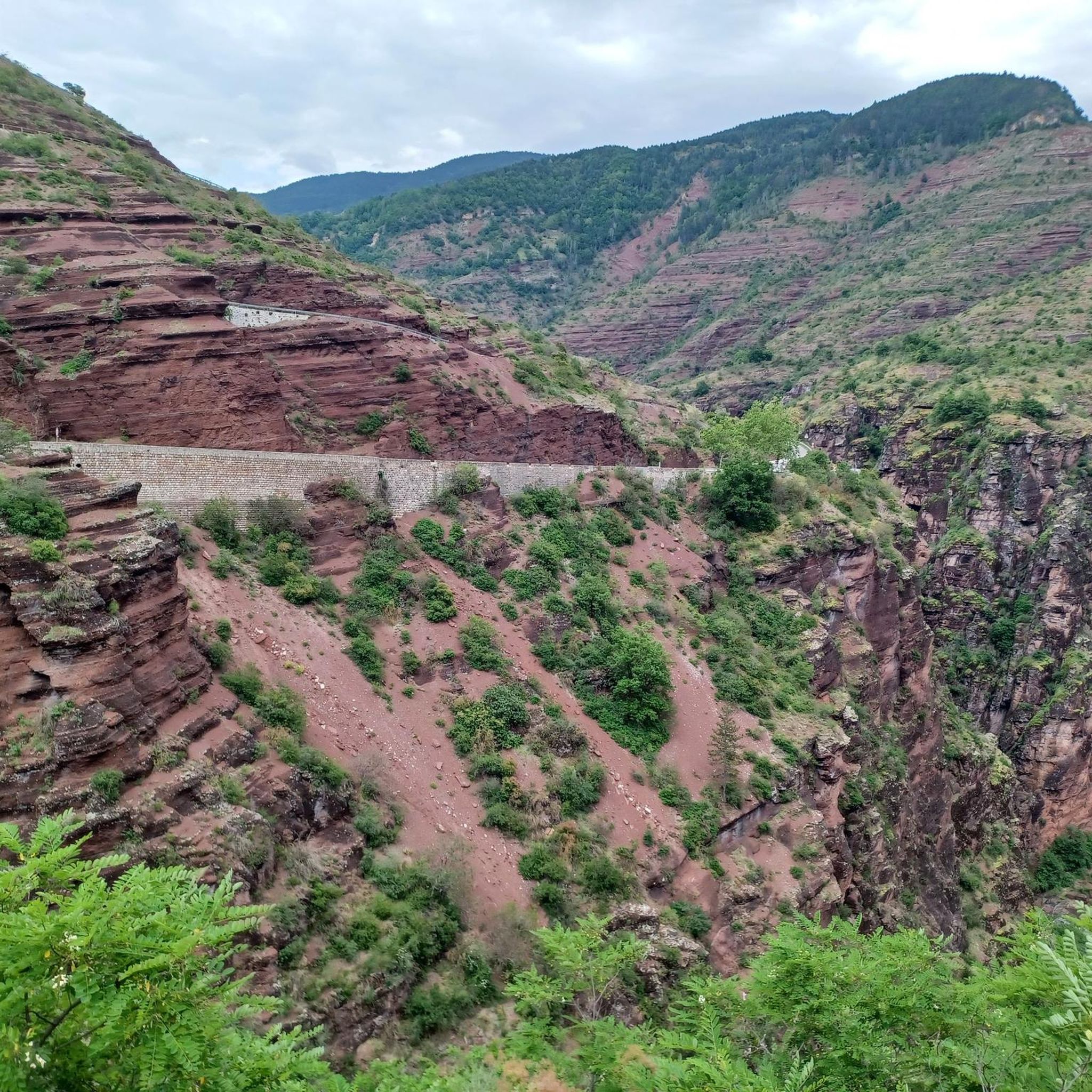
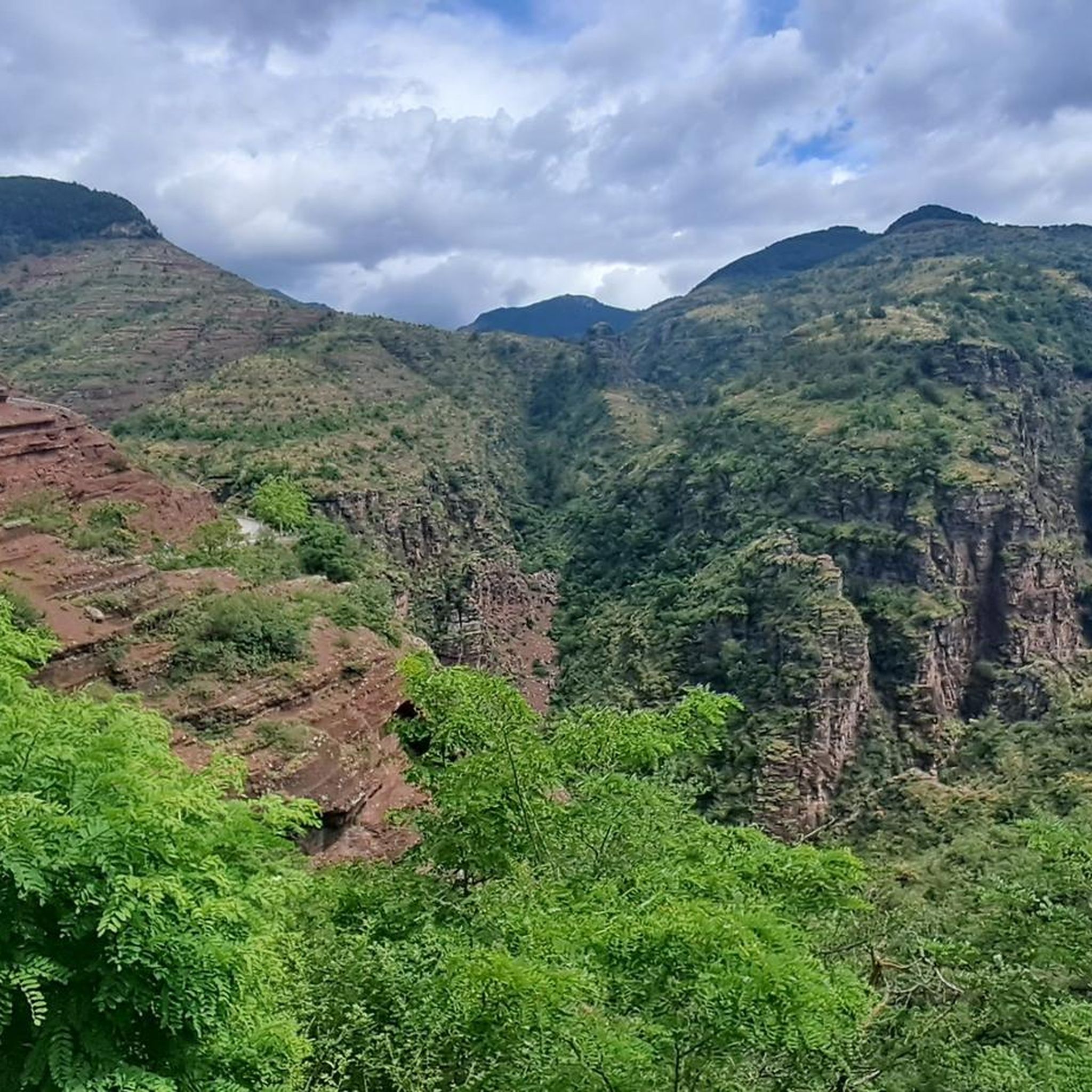
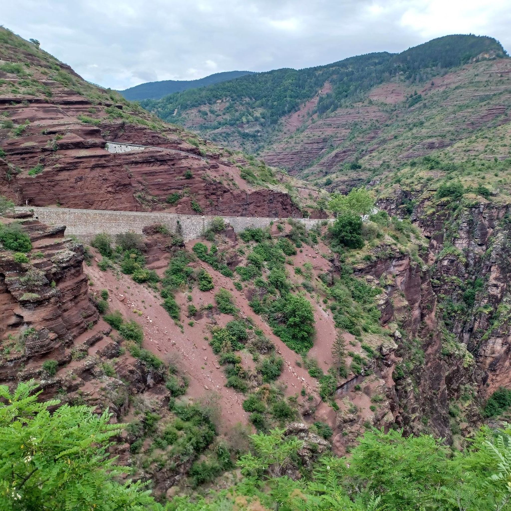
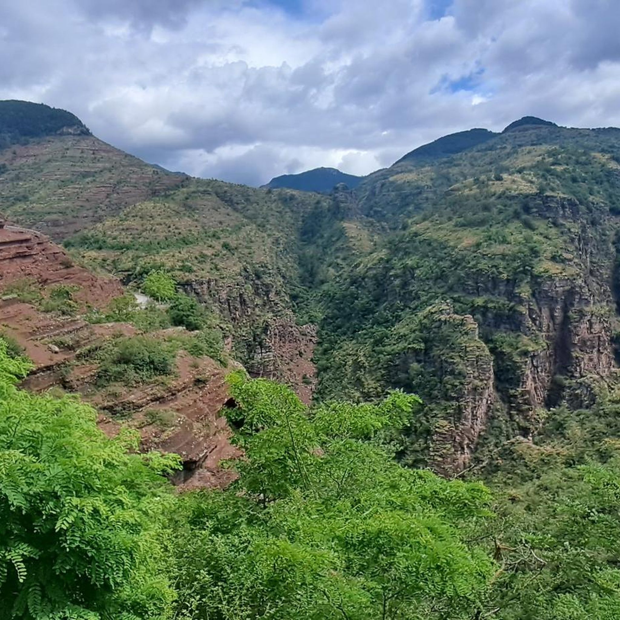
Péone appears behind a bend descending from Valberg and suddenly it feels like stepping into a fairy tale
0
0

Quiet road the D29. Nice climb.
0
0

The Col de Sainte-Anne is a pass at an altitude of 425 meters in the French department of Bouches-du-Rhône.
0
1
The Col de la Couillole is a mountain pass in the Massif du Mercantour-Argentera of the French Alps, situated at an altitude of 1,678 m (5,505 ft) in the Alpes-Maritimes department, France. The road connection is open for six to seven months of the year, allowing travel between the Cians gorges in the west and the Tinée valley in the east.
0
0
The Col de la Couillole is a mountain pass in the Massif du Mercantour-Argentera of the French Alps, situated at an altitude of 1,678 m (5,505 ft) in the Alpes-Maritimes department, France. The road connection is open for six to seven months of the year, allowing travel between the Cians gorges in the west and the Tinée valley in the east.
0
0

Tried and tested! There's still a long way to go to the top of the pass, so don't forget to stay hydrated.
0
1
Drinking water (tested and approved)!!
0
0

Frequently Asked Questions
How many road cycling routes are available around Sauze?
There are over 20 road cycling routes around Sauze, offering a variety of experiences for different skill levels. The region is known for its challenging mountainous terrain.
Are there road cycling routes suitable for beginners in Sauze?
While Sauze is characterized by mountainous terrain and challenging climbs, there is at least one easy road cycling route available. Most routes are moderate to difficult, so beginners should carefully check route profiles for elevation gain and distance.
What are some challenging road cycling routes for experienced riders in Sauze?
Experienced riders seeking a challenge will find plenty of difficult routes. For example, the Red Gorges Discovery Trail is a demanding 50.5-mile (81.2 km) route with substantial climbs. Another option is the Cayolle Pass – Bride's Bridge loop from Guillaumes, which covers nearly 80 km and features over 2000 meters of elevation gain.
What is the best time of year for road cycling in Sauze?
The best time for road cycling in Sauze is typically from late spring through early autumn (May to October). During these months, mountain passes are generally clear of snow, and the weather is more stable, offering ideal conditions for tackling the region's high-altitude routes.
Are there any circular road cycling routes in Sauze?
Yes, many of the road cycling routes in Sauze are designed as loops, allowing you to start and finish in the same location. Examples include the Col de Valberg loop from Guillaumes and the Ascent to Col de la Couillole – Col de la Couillole loop from Guillaumes, which offer challenging ascents and scenic descents.
What kind of scenic viewpoints can I expect along the road cycling routes?
Road cycling routes around Sauze offer breathtaking scenic viewpoints due to the mountainous terrain. You can expect panoramic vistas from high mountain passes like Champs Pass and Col du Raton. Many routes also pass through dramatic natural formations such as the Daluis gorges.
Are there any interesting landmarks or natural monuments to see while road cycling in Sauze?
Absolutely. Beyond the stunning landscapes, you can encounter several notable landmarks and natural monuments. Highlights include the impressive Bride's Bridge, the unique Red Slate Plateau, and the distinctive Péone Rock Formations. The region's deep valleys and alpine forests also provide a rich natural backdrop.
What do other road cyclists say about the routes in Sauze?
The road cycling routes in Sauze are highly rated by the komoot community, with an average score of 4.8 stars from 38 reviews. Cyclists often praise the challenging ascents, rewarding panoramic views, and the diverse mountainous terrain that defines the region.
Are there any routes that pass by lakes or water features?
Yes, some routes in the Sauze area will take you past beautiful water features. For instance, you might encounter the serene Lacs de Lignin, offering a refreshing stop amidst your ride. The region's deep valleys often feature rivers and streams, adding to the scenic beauty.
How can I find parking for road cycling routes in Sauze?
Given Sauze's nature as a mountain resort area, parking is generally available in and around the main villages and trailheads. Look for designated parking areas in towns like Guillaumes, which serve as common starting points for many routes. It's advisable to arrive early during peak season to secure a spot.
Is it possible to access road cycling trailheads in Sauze using public transport?
Accessing trailheads by public transport in a mountainous region like Sauze can be limited, especially for specific starting points of cycling routes. Regional bus services connect larger towns, but direct access to all trailheads might require careful planning or a combination with local taxi services. Checking local transport schedules in advance is recommended.
Are there any road cycling routes that are particularly good for summer rides?
Summer is an excellent time for road cycling in Sauze, especially for routes that venture into higher altitudes. The cooler temperatures at elevation provide a welcome escape from the heat. Routes like the Saint Martin – Drinking water loop from Guillaumes, with its significant elevation, are ideal for summer, offering refreshing air and stunning views.
Most popular routes around Sauze
Most popular attractions around Sauze

Get inspired with the komoot mobile app


Explore more
Browse the best Road cycling routes in other regions.
