The best running trails around Montsaunès
3.9
(8)
415
runners
80
runs
Jogging routes around Montsaunès traverse the Haute-Garonne department in southwestern France, offering varied terrain for runners. The region is characterized by its hilly countryside, providing panoramic views of the Pyrénées mountain range. Runners can expect to encounter diverse landscapes including forests, pastures, and river valleys, such as those along the Save river and the Gorges de la Save. Elevations range from approximately 285 to 411 meters, creating routes with varied gradients suitable for different fitness levels.
Best jogging routes around…
Last updated: July 4, 2026
3.0
(1)
16
runners
9.24km
01:01
30m
30m
Moderate run. Good fitness required. Mostly paved surfaces. Suitable for all skill levels.
18
runners
4.41km
00:31
10m
10m
Easy run. Great for any fitness level. Mostly paved surfaces. Suitable for all skill levels.

Sign up for free
17
runners
20.6km
02:17
120m
120m
Hard run. Very good fitness required. Mostly paved surfaces. Suitable for all skill levels.
14
runners
10.6km
01:06
20m
20m
Moderate run. Good fitness required. Mostly paved surfaces. Suitable for all skill levels.
7
runners
9.49km
01:06
110m
110m
Moderate run. Good fitness required. Mostly paved surfaces. Suitable for all skill levels.
Get access to more routes and recommendations from other explorers.
Sign up for free
Already have an account?
Our route recommendations are based on thousands of hikes, rides, and runs completed by other people on komoot.
Start today with a free account
Your next adventure awaits.
Login or Signup

Tips from the Community

The plateau on which the ruins of the old Notre-Dame-de-la-Pitié church and its castle are located offers lovely views.
0
0

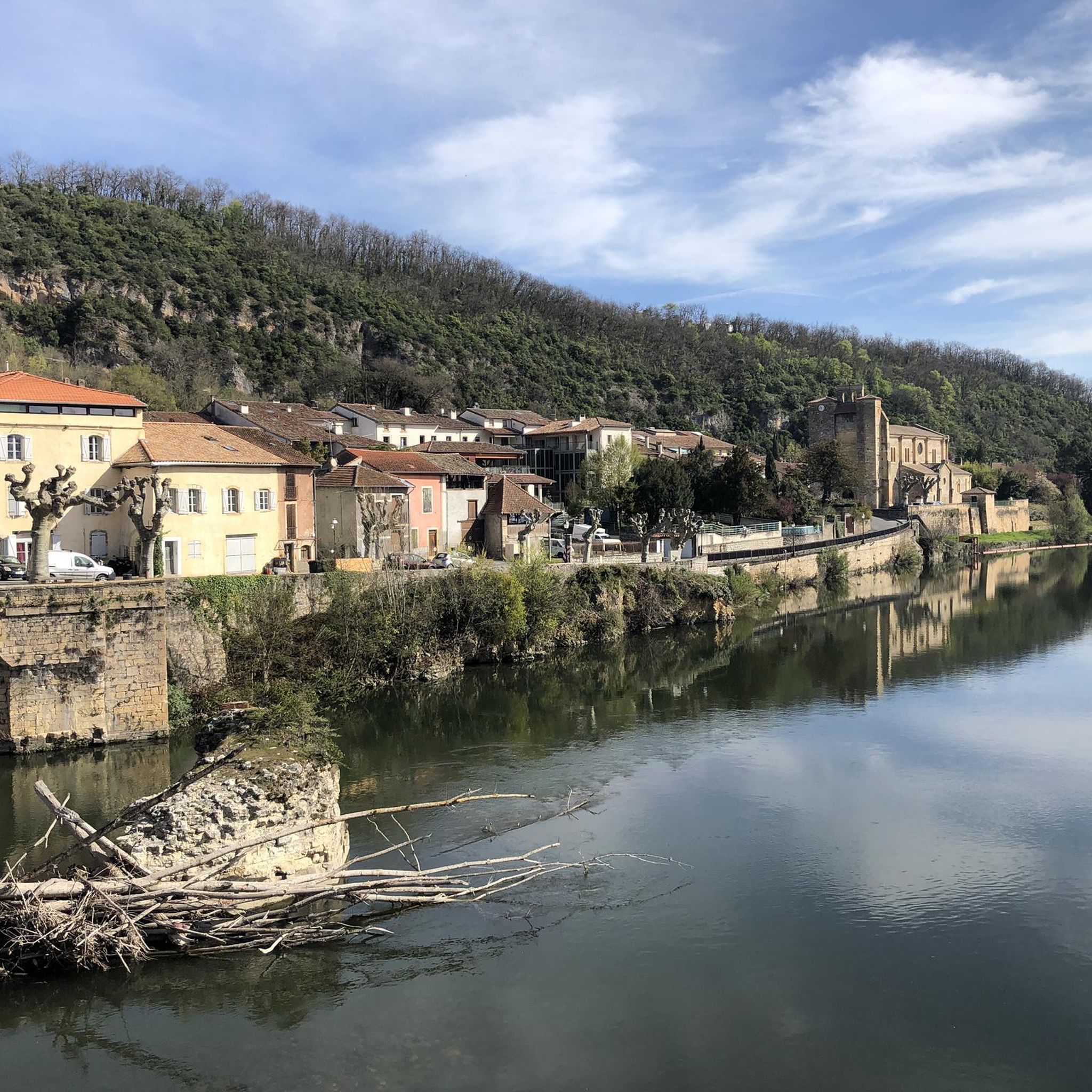
Very pretty quiet road that runs along the Salat.
1
0

There is not much left of the chapel, but the bells of the chapel ring every hour on the hour. I was very surprised by that.
0
0
beautiful lake next to the village Touille, you can also swim in it.
0
0
Frequently Asked Questions
How many running routes are available around Montsaunès?
There are over 70 running routes available around Montsaunès, offering a wide variety of options for different skill levels and preferences. The komoot community has explored these trails extensively, with over 300 runners using komoot to discover the area's diverse terrain.
What kind of terrain can I expect on the jogging trails in Montsaunès?
The jogging trails around Montsaunès feature a diverse terrain, characterized by hilly countryside, dense forests, and picturesque river valleys, particularly along the Save river. You'll find varied gradients, with elevations ranging from approximately 285 to 411 meters, providing options from gentle runs to more challenging ascents.
Are there any easy running routes suitable for beginners or casual joggers?
Yes, Montsaunès offers several easy running routes. There are 5 routes specifically graded as 'easy', and many of the 56 'moderate' routes can also be suitable for casual joggers looking for a less strenuous experience. These often traverse flatter sections of the river valleys or well-maintained paths through pastures.
Can I find long-distance or challenging running trails in the Montsaunès area?
Absolutely. For those seeking a challenge, Montsaunès has 12 routes graded as 'difficult'. One notable long and challenging option is the Bonnefont Abbey – Abbaye de Bonnefont loop from Saint-Martory, an 18.5-mile (29.8 km) path with significant elevation gain that also passes by historical sites.
Are there any circular running routes around Montsaunès?
Many of the running routes in the Montsaunès area are designed as loops, allowing you to start and finish in the same location. For example, the Salies-du-Salat loop from Salies-du-Salat is a popular 5.1-mile (8.25 km) circular trail. The broader region also features loops like a 30km route from Cassagnabère to the Gorges de la Save.
What are some scenic viewpoints or natural features I might encounter on a run?
The region around Montsaunès is known for its magnificent panoramic views of the Pyrénées mountain range. You'll also find scenic natural features like the Gorges de la Save and the Save river valleys. The varied terrain of forests and pastures often opens up to stunning vistas, especially on routes with higher elevations.
Are there any historical sites or landmarks along the running trails?
Yes, some running routes incorporate historical sites. For instance, the challenging Bonnefont Abbey – Abbaye de Bonnefont loop from Saint-Martory passes by the significant Abbaye de Bonnefont. Other nearby points of interest include the Stone Bridge and City Gates of Saint-Martory.
What is the best time of year to go running in Montsaunès?
Montsaunès, located in the Occitanie region, benefits from a mountainous climate. While running is possible year-round, spring and autumn generally offer the most pleasant temperatures and vibrant scenery, with lush greenery or autumnal colors. Summer can be warm, so early morning or late afternoon runs are advisable, while winter might bring cooler temperatures and potentially some snow at higher elevations.
Are the running routes in Montsaunès suitable for families?
Many of the trails in the Montsaunès area are described as suitable for family walks, making them adaptable for family-friendly jogging. Look for the 'easy' and 'moderate' graded routes, which often feature well-maintained paths through forests and pastures, providing a pleasant experience for all ages.
Is Montsaunès a dog-friendly area for running?
While specific dog-friendly regulations for each trail are not detailed, the natural environment of Montsaunès, with its extensive network of paths through forests and pastures, generally welcomes dogs. It's always recommended to keep dogs on a leash, especially in areas with livestock or protected wildlife, and to respect local signage.
What do other runners say about the trails in Montsaunès?
The running routes in Montsaunès are highly rated by the komoot community, with an average score of 4.0 stars from over 7 reviews. Runners often praise the varied terrain, the stunning views of the Pyrénées, and the peaceful atmosphere of the forests and river valleys.
Are there options for parking near the trailheads?
While specific parking information for every trailhead isn't provided, routes often start from villages like Saint-Martory or Salies-du-Salat, where public parking is typically available. It's advisable to check the individual route details on komoot for specific starting points and potential parking suggestions.
Can I access the running routes using public transport?
The region around Montsaunès is primarily rural. While some larger towns in the Comminges region may have public transport connections, direct access to all trailheads via public transport might be limited. Starting points in villages like Saint-Martory or Salies-du-Salat may be accessible by local bus services, but planning ahead is recommended.
Most popular attractions around Montsaunès

Get inspired with the komoot mobile app


Explore more
Browse the best Running Trails & Routes in other regions.
