The best walks and hikes around Saint-Amancet
4.4
(623)
4,332
hikers
133
hikes
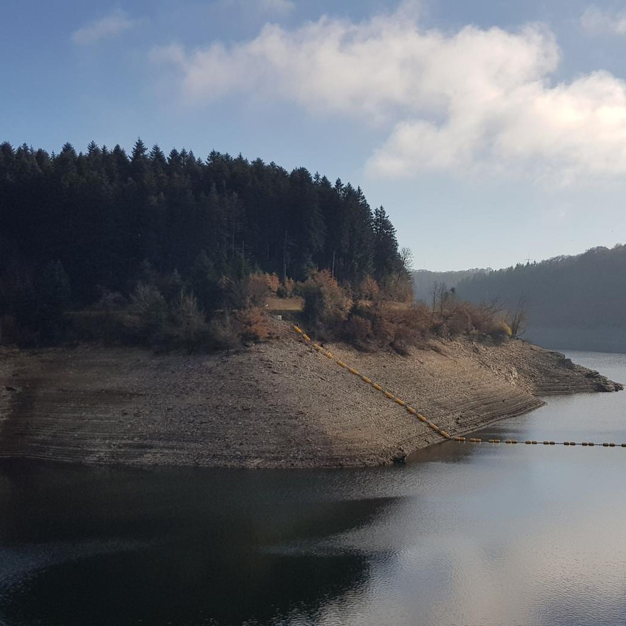
Hiking around Saint-Amancet offers diverse experiences within the Montagne Noire and the Haut-Languedoc Regional Natural Park. The terrain features extensive forests, numerous small streams, and varied elevations ranging from 208 to 784 meters. This setting provides a mix of inclines and descents, leading to panoramic views over plains and the surrounding mountainous landscape.
Best hiking trails around Saint-Amancet
- The most popular hiking route is Oppidum de Berniquaut Loop, a 5.2 miles (8.4 km) trail that takes 2 hours 48…
Last updated: July 4, 2026
4.6
(50)
269
hikers
8.39km
02:49
300m
300m
Moderate hike. Good fitness required. Mostly accessible paths. Sure-footedness required.
4.7
(30)
124
hikers
14.7km
04:26
480m
480m
Moderate hike. Good fitness required. Easily-accessible paths. Suitable for all skill levels.

Sign up for free
4.3
(16)
119
hikers
14.3km
04:25
450m
450m
Hard hike. Good fitness required. Sure-footedness, sturdy shoes and alpine experience required.
4.4
(8)
66
hikers
Moderate hike. Great for any fitness level. Mostly accessible paths. Sure-footedness required.
4.9
(7)
39
hikers
6.07km
01:59
270m
270m
Easy hike. Great for any fitness level. Easily-accessible paths. Suitable for all skill levels.
Get access to more routes and recommendations from other explorers.
Sign up for free
Already have an account?
Our route recommendations are based on thousands of hikes, rides, and runs completed by other people on komoot.
Start today with a free account
Your next adventure awaits.
Login or Signup

Tips from the Community

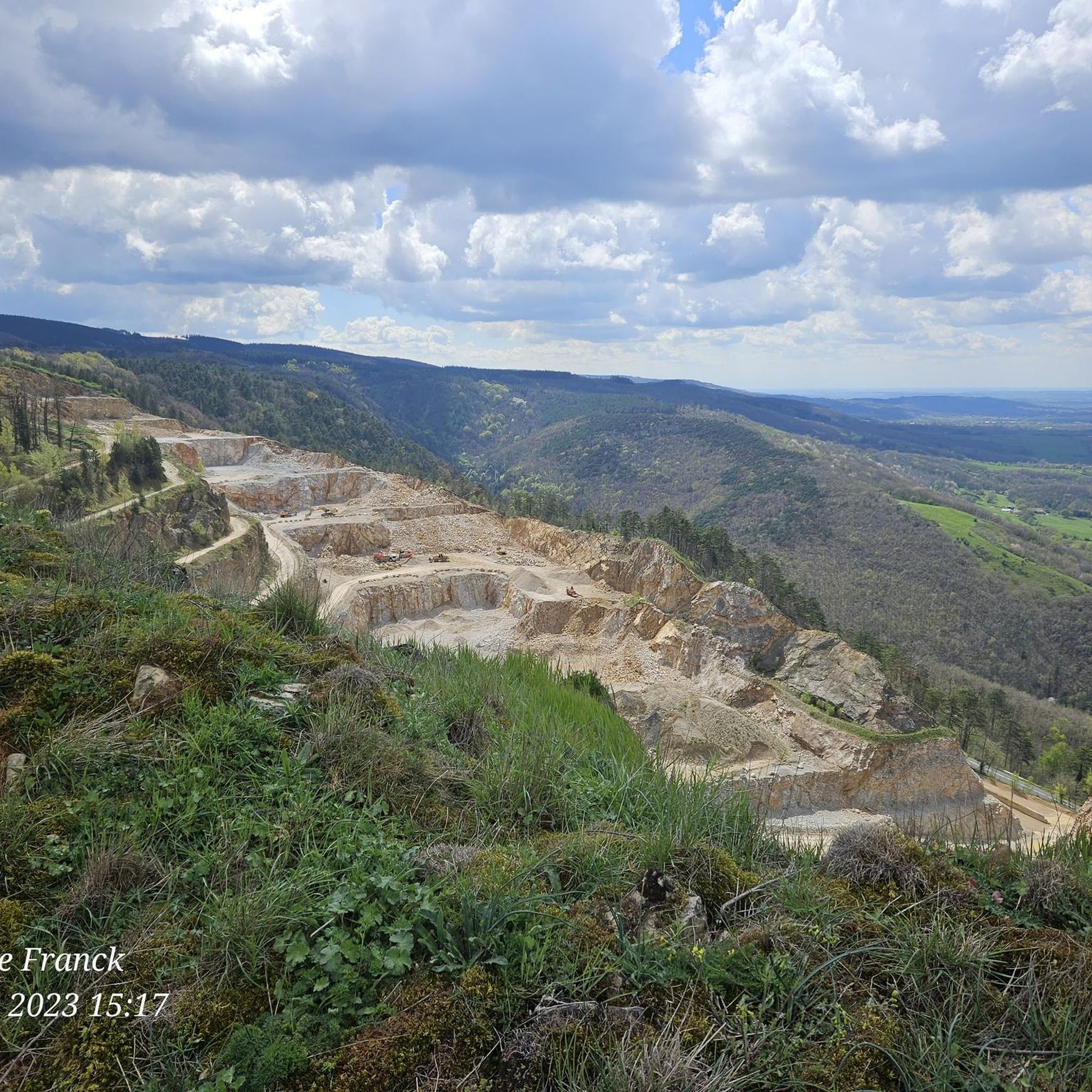
Exceptional viewpoint over the entire Revel basin.
0
0

This village was formerly known for its copperware. A small stream flows through the middle of two of its streets. Upstream are the remains of old mills.
0
0
The highest point was occupied mainly during the medieval period.
0
0

magnificent view of the plain.
0
0


Beautiful 2 km climb starting from Dourgne, the view must be beautiful 😊, I was there on a foggy day 🌫️ so I don't know
1
0

Parish church with a large square
2
0
Frequently Asked Questions
How many hiking trails are available around Saint-Amancet?
Saint-Amancet offers a wide variety of hiking experiences, with over 130 routes available. These range from easy strolls to more challenging ascents through the Montagne Noire.
What kind of terrain can I expect on hikes in the Saint-Amancet region?
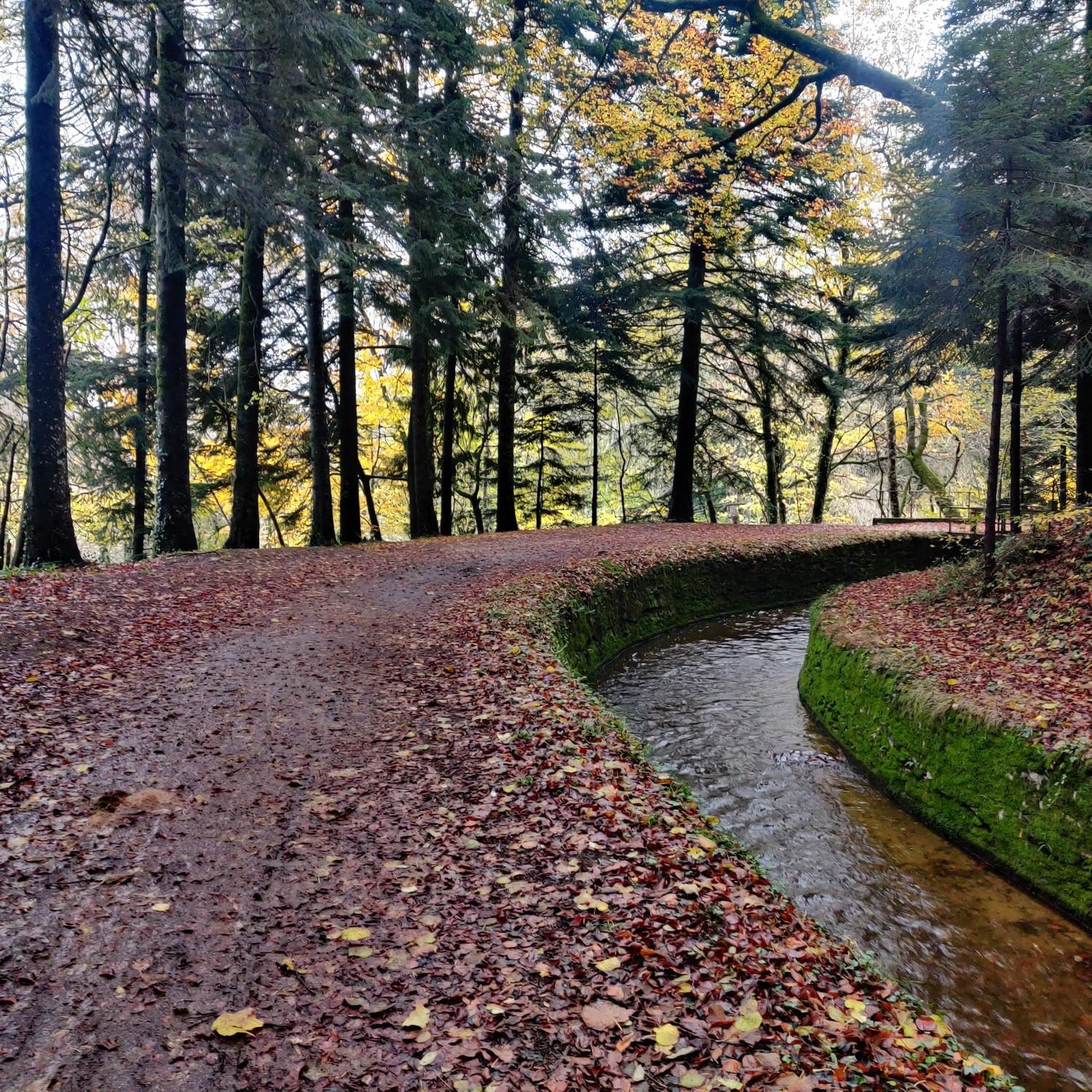
The terrain around Saint-Amancet is incredibly diverse, featuring dense forests of fir, pine, and beech, as well as fern and ash moors. You'll encounter varied elevations, from 208 to 784 meters, leading to a mix of inclines and descents. Many trails follow small streams and offer panoramic views over the Plain of Lauragais.
Are there any easy, family-friendly hikes around Saint-Amancet?
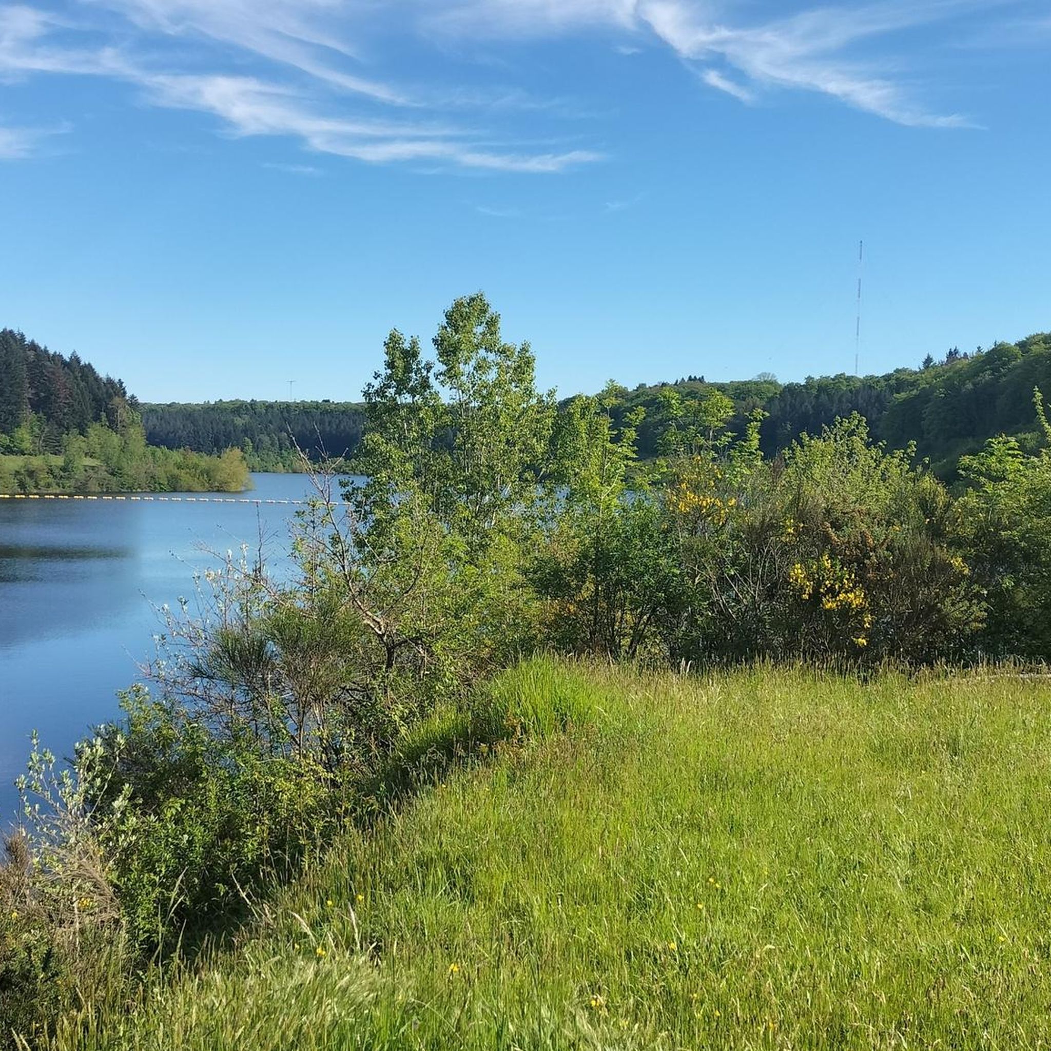
Yes, there are many easy options suitable for families. For example, the Tree of life loop from Dourgne is an easy 6 km route with moderate elevation gain, perfect for a relaxed outing. The area's lakes, like Lac de Saint-Ferréol, also offer pleasant, generally flat loops.
What are some notable natural features or landmarks to look out for on the trails?
The region is rich in natural beauty and historical sites. You can explore the dense forests of the Montagne Noire, discover the historic Vauban Vault near Lac des Cammazes, or visit the ancient fortified site on the Oppidum de Berniquaut Loop. The Baylou Chapel and Mougnès Waterfall are also beautiful spots to discover.
Are there any circular hiking routes in the area?
Yes, many trails around Saint-Amancet are circular, allowing you to start and end at the same point. Popular options include the Oppidum de Berniquaut Loop and the Cup-shaped rock – Sorèze loop from Sorèze. The lakes, such as Lac de Saint-Ferréol, also offer scenic circular paths.
Can I bring my dog on the hiking trails around Saint-Amancet?
Many trails in the Montagne Noire and Haut-Languedoc Regional Natural Park are dog-friendly, but it's always best to keep your dog on a leash, especially in areas with livestock or protected wildlife. Always check local signage for specific restrictions on individual routes or in certain natural reserves.
What is the best time of year to go hiking in Saint-Amancet?
The Saint-Amancet region is enjoyable for hiking throughout much of the year. Spring brings lush greenery and wildflowers, while autumn offers stunning fall foliage in the Montagne Noire forests. Summer is popular, but it's advisable to start early to avoid the midday heat. Winters are generally mild, allowing for pleasant walks, though some higher elevation trails might be less accessible.
Where can I find parking for hiking trails near Saint-Amancet?
Parking is generally available at the start points of many popular trails and in nearby villages like Dourgne or Sorèze. For specific routes, such as the Berniquaut – B loop from Sorèze, you'll typically find designated parking areas close to the trailhead.
Are there any challenging hikes for experienced trekkers?
Yes, for those seeking a greater challenge, the region offers several demanding routes. The Cup-shaped rock – Sorèze loop from Sorèze is classified as difficult, covering over 14 km with significant elevation changes, providing a rewarding experience for seasoned hikers.
What do other hikers enjoy most about hiking in Saint-Amancet?
The area is highly rated by the komoot community, with an average score of 4.4 stars from over 500 reviews. Hikers often praise the diverse landscapes, from dense forests to open plains, the well-maintained trails, and the stunning viewpoints over the Montagne Noire and Lauragais Plain. The tranquility and natural beauty are frequently highlighted.
Are there any trails that are part of a larger pilgrimage route?
Yes, Saint-Amancet lies along the historic Via Tolosana (or Arles Way), one of the four major French paths to Santiago de Compostela. This route is known for its wild and adventurous character, offering a unique hiking experience through the region.
Most popular routes around Saint-Amancet
Most popular attractions around Saint-Amancet

Get inspired with the komoot mobile app


Explore more
Browse the best Hikes in other regions.
