The best road cycling routes around Girgols
4.3
(87)
3,278
riders
76
rides
Road cycling around Girgols offers diverse landscapes and challenging terrain within the Cantal department of France. The region is characterized by the volcanic landscape of the Cantal massif, featuring high mountain passes and deep valleys. This area, part of the Auvergne Volcanoes Regional Natural Park, provides demanding climbs and panoramic views. The terrain includes extinct volcanoes and plateaus, making it suitable for experienced road cyclists.
Best road cycling routes around Girgols
- The most popular road cycling route is RBX Cantal…
Last updated: July 1, 2026
4
riders
60.5km
03:17
1,160m
1,160m
Cycle the difficult 37.6-mile RBX Cantal Volcano Loop, gaining 3801 feet through spectacular volcanic landscapes.
5.0
(8)
367
riders
71.9km
04:02
1,610m
1,610m
Hard road ride. Very good fitness required. Mostly well-paved surfaces and easy to ride.

Sign up for free
5.0
(3)
81
riders
60.0km
03:23
1,350m
1,350m
Hard road ride. Very good fitness required. Mostly well-paved surfaces and easy to ride.
4.2
(6)
70
riders
33.9km
01:50
650m
650m
Moderate road ride. Good fitness required. Some segments of this route may be unpaved and difficult to ride.
14
riders
75.1km
03:57
1,400m
1,400m
Hard road ride. Very good fitness required. Mostly well-paved surfaces and easy to ride.
Get access to more routes and recommendations from other explorers.
Sign up for free
Already have an account?
Our route recommendations are based on thousands of hikes, rides, and runs completed by other people on komoot.
Start today with a free account
Your next adventure awaits.
Login or Signup
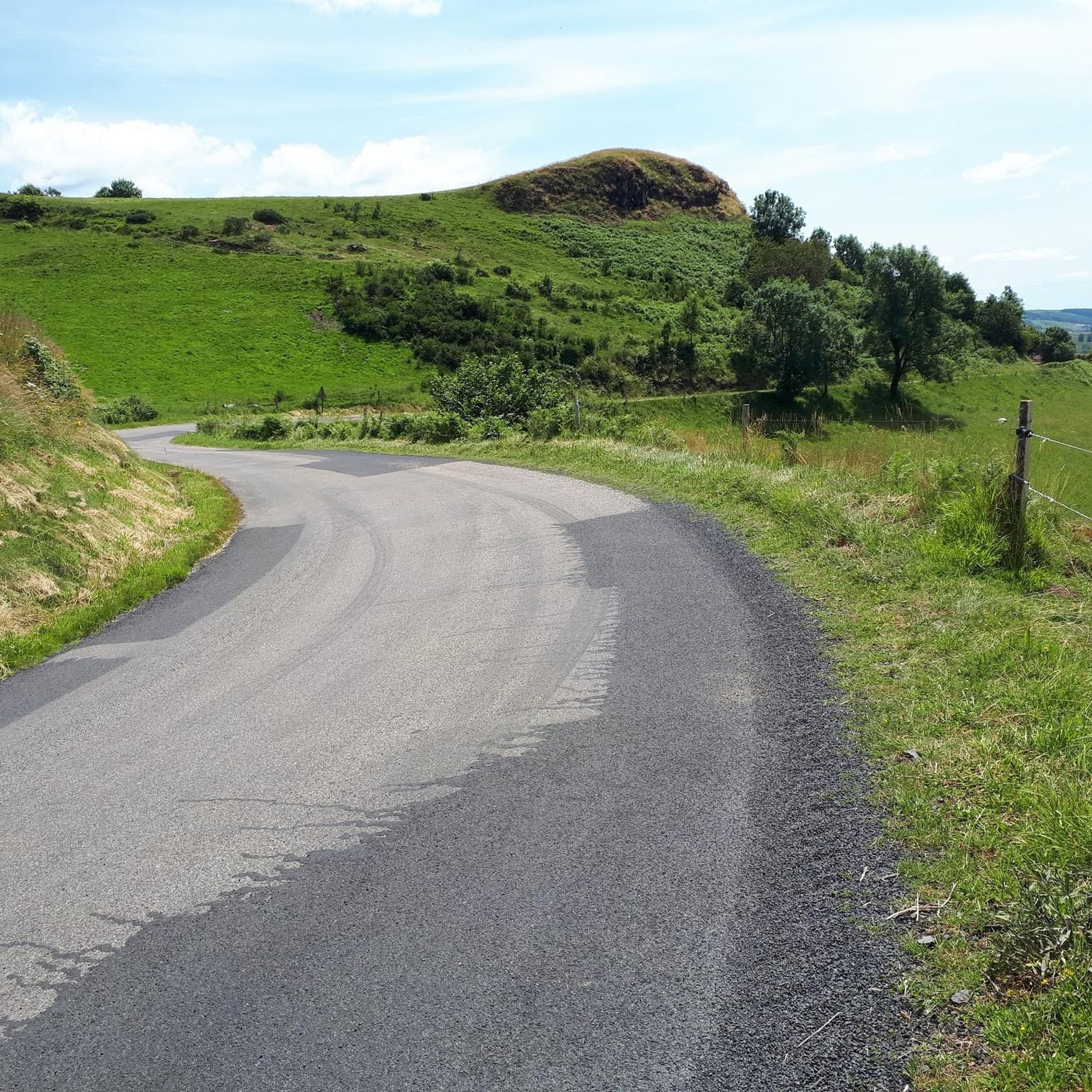
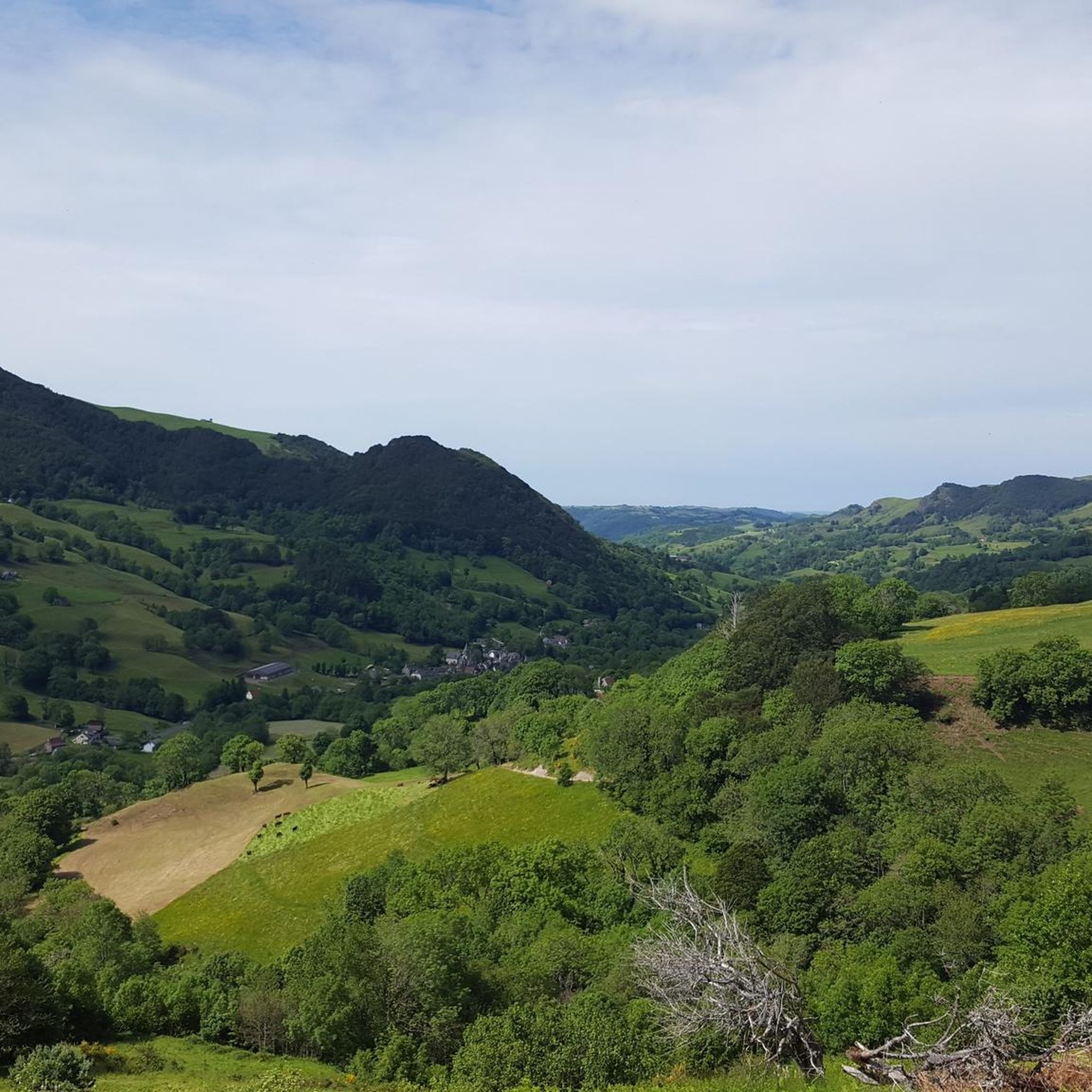
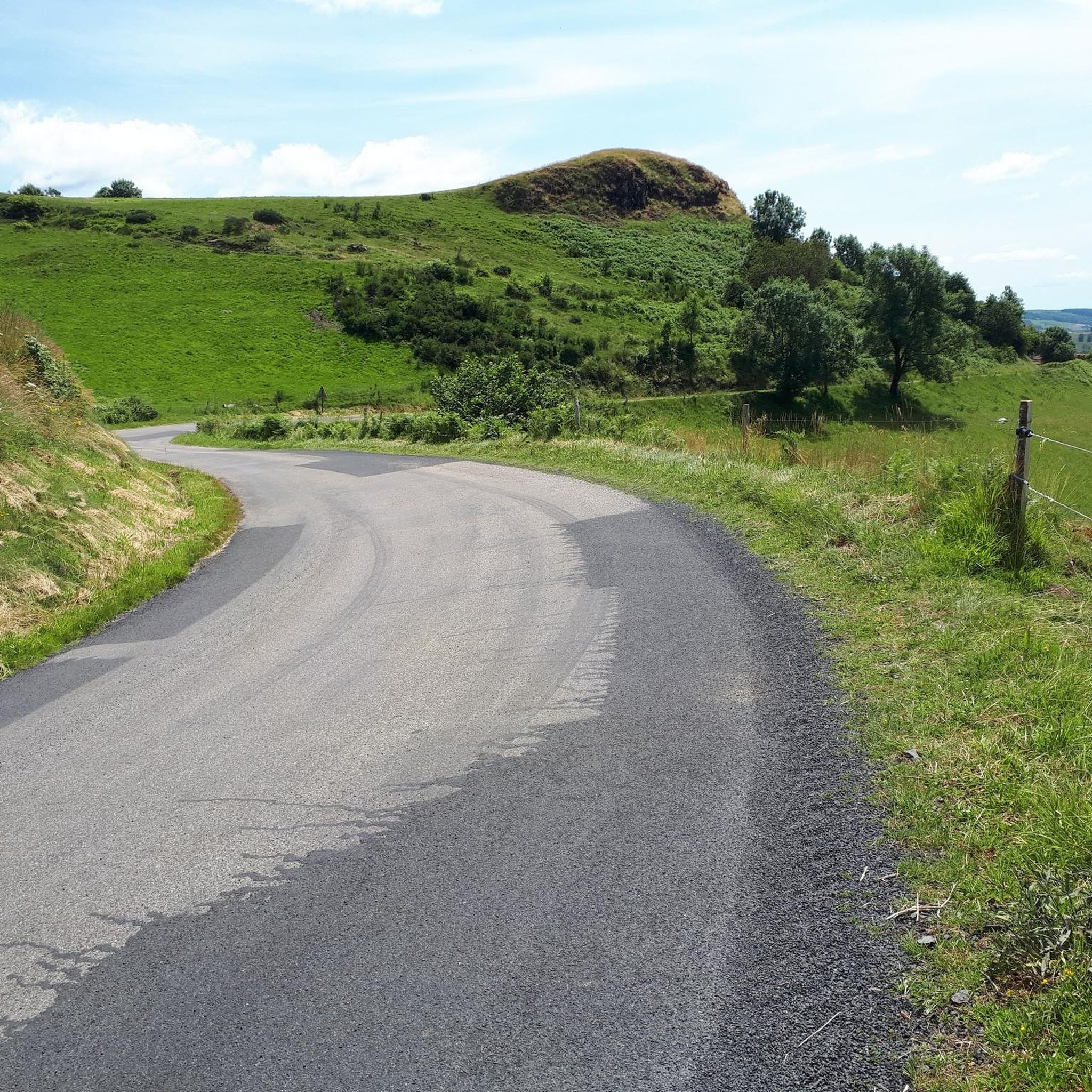
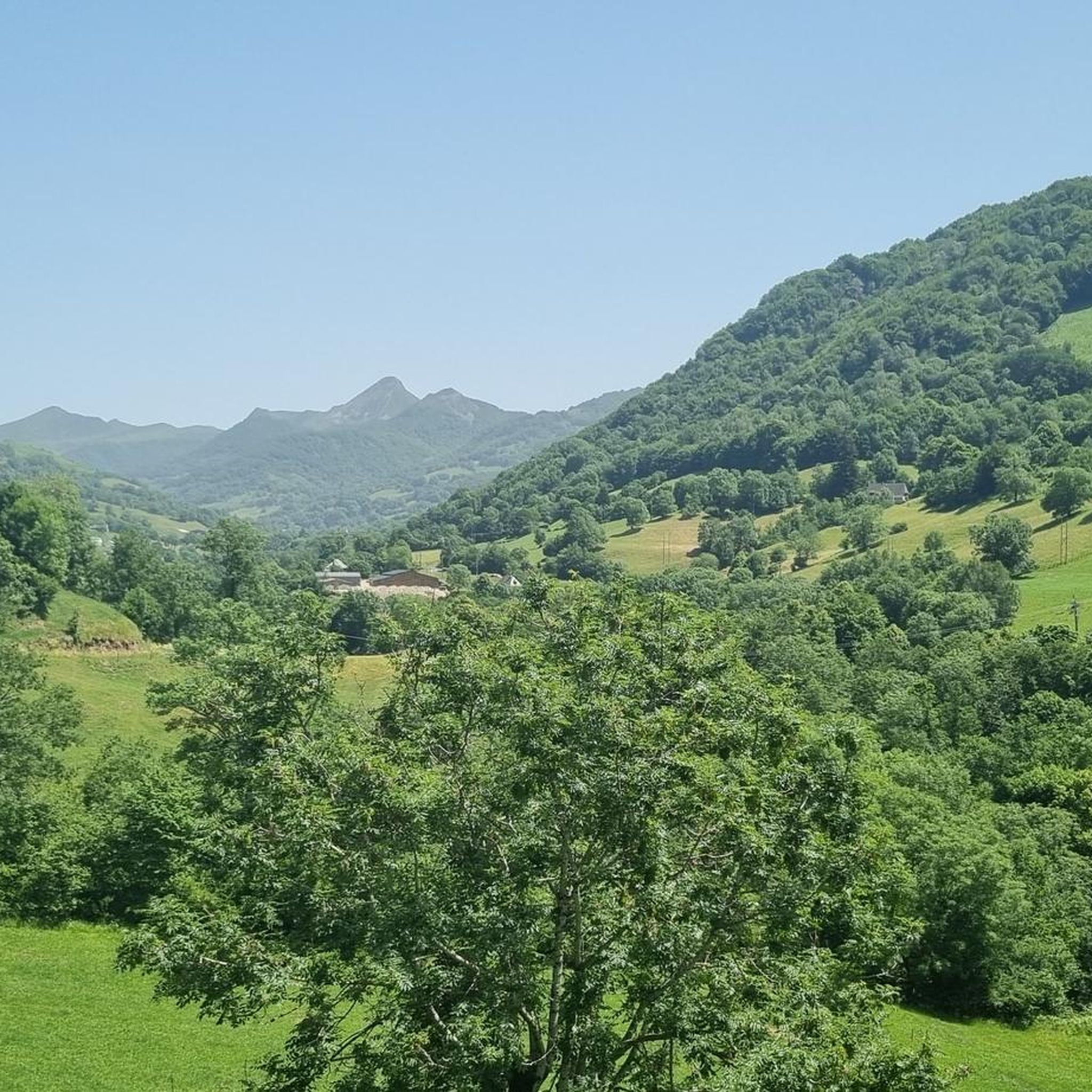
Tips from the Community

Either stressful or relaxed from Puy Mary.
0
0

Just a stone's throw from Puy Mary, the Pas de Peyrol offers superb views of the Cantal mountains. Its ascent is nearly 12 kilometers long and averages 5.6%.
0
0

Rain, visibility 1m, but otherwise great
0
0

It's steep but you absolutely have to do this pass because the landscape is magnificent.
1
0

Small entrance fee (2024): Adult 4.00 EUR Child 1.50 EUR Set price group adults 3.50 EUR Set price group children 1.00 EUR
0
0

Did it last week with the cycling friends. Splendor of a Col. 🤩
0
0

The Jordanne Valley is a lush green valley that was formed as a glacial valley of the Puy Mary. A path through the dense greenery runs through the Jordanne Gorge, stretching for more than 3 km between the communities of Saint-Julien and Saint-Cirgues. A path with small footbridges and bridges allows visitors to discover this beautiful place and takes them deep into the gorge. There is a fee to enter.
1
0
Frequently Asked Questions
How many road cycling routes are available around Girgols?
There are over 70 road cycling routes around Girgols, offering a wide range of options for different skill levels. These include 36 moderate routes and 33 difficult routes, ensuring there's a challenge for every cyclist.
What is the best time of year for road cycling in Girgols?
The best time for road cycling in Girgols is typically from late spring through early autumn (May to October). During these months, the weather is generally favorable, and the high mountain passes, which are a defining feature of the region's volcanic landscape, are clear of snow and ice.
Are there any easy road cycling routes for beginners in Girgols?
While the region is known for its challenging terrain, there are a few easier road cycling routes around Girgols. We recommend checking the route details on komoot to find options that match your fitness level, as most routes involve significant elevation changes due to the volcanic landscape.
What kind of terrain can I expect on road cycling routes around Girgols?
Road cycling in Girgols is characterized by the dramatic volcanic landscape of the Cantal massif. You can expect challenging climbs over high mountain passes, descents into deep valleys, and rides across plateaus, all offering panoramic views of extinct volcanoes and natural scenery. Routes like Col de Saint-Georges (954 m) – Col de Légal loop from Tournemire exemplify the demanding climbs in the area.
Are there challenging road cycling routes for experienced cyclists?
Absolutely. Girgols is renowned for its challenging road cycling. With 33 routes classified as difficult, experienced cyclists will find plenty of demanding climbs and significant elevation gains. Routes such as the RBX Cantal Volcano Loop, with over 1100 meters of elevation gain, offer a true test of endurance through the volcanic terrain.
Are there any scenic viewpoints or attractions along the road cycling routes?
Yes, the region is rich in natural beauty and historical sites. Many routes offer stunning views of the volcanic landscape. You can find attractions such as the Puy Mary Summit, the Pas de Peyrol Pass (1,589 m), and the medieval village of Salers. The Pas de Cère Gorges also offers impressive geological formations.
Can I find loop routes for road cycling in Girgols?
Yes, many of the road cycling routes around Girgols are designed as loops, allowing you to start and finish at the same point. Examples include the Mandailles – Col de la Croix de Cheules loop from Laroquevieille and the Sédaiges Castle loop from Marmanhac, which provide varied scenery and challenges.
What do other road cyclists say about the routes in Girgols?
The road cycling routes in Girgols are highly rated by the komoot community, with an average score of 4.4 stars from over 90 reviews. More than 3000 road cyclists have used komoot to explore the area, often praising the challenging climbs, panoramic volcanic views, and the diverse, natural scenery.
Are there family-friendly road cycling options in Girgols?
While the region is predominantly known for its challenging terrain with significant elevation, some of the easier routes might be suitable for families with older, experienced children. However, due to the mountainous nature, routes specifically designed for young children are limited. It's best to carefully review the difficulty and elevation profiles on komoot for each route.
Are there cafes or pubs along the road cycling routes in Girgols?
Given the rural and mountainous nature of the Girgols region, amenities like cafes and pubs can be sparse, especially on higher mountain passes. However, you will find options in the villages and towns along or near the routes. It's always advisable to plan your stops in advance and carry sufficient water and snacks.
What are the parking options for road cyclists in Girgols?
Parking is generally available in the towns and villages that serve as starting points for many routes. For specific trailheads, look for designated parking areas or inquire locally. Given the rural setting, finding parking is usually less challenging than in more urbanized areas, but it's always good to check maps or local information beforehand.
Is public transport available to access road cycling routes in Girgols?
Public transport options in the Girgols region, particularly for reaching specific road cycling trailheads, can be limited due to its rural and mountainous character. While some bus services connect larger towns, direct access to all starting points might require a car. It's recommended to check local transport schedules if you plan to rely on public transport.
Most popular attractions around Girgols

Get inspired with the komoot mobile app


Explore more
Browse the best Road cycling routes in other regions.
