The best walks and hikes around Pontigny
4.6
(34)
165
hikers
33
hikes
Hiking around Pontigny, located in the Yonne department of Bourgogne-Franche-Comté, offers diverse landscapes for outdoor enthusiasts. The region is characterized by rolling hills, expansive vineyards, and dense forests, including the Forest of Pontigny. Trails often follow the tranquil Serein and Yonne Rivers, providing varied terrain with gentle elevation changes suitable for different hiking abilities. The area's predominantly agricultural landscape features fields and vineyards, with historical attractions like Pontigny Abbey integrated into many routes.
Best hiking trails around Pontigny
- The most…
Last updated: August 28, 2026
4.3
(3)
29
hikers
6.84km
01:47
50m
50m
Easy hike. Great for any fitness level. Easily-accessible paths. Suitable for all skill levels.
4.5
(4)
27
hikers
5.89km
01:34
60m
60m
Easy hike. Great for any fitness level. Easily-accessible paths. Suitable for all skill levels.

Sign up for free
3.5
(2)
4
hikers
10.9km
02:51
80m
80m
Moderate hike. Good fitness required. Easily-accessible paths. Suitable for all skill levels.
5.0
(2)
5
hikers
9.24km
02:27
90m
90m
Moderate hike. Good fitness required. Easily-accessible paths. Suitable for all skill levels.
5.0
(1)
3
hikers
1.81km
00:28
10m
10m
Easy hike. Great for any fitness level. Easily-accessible paths. Suitable for all skill levels.
Get access to more routes and recommendations from other explorers.
Sign up for free
Already have an account?
Our route recommendations are based on thousands of hikes, rides, and runs completed by other people on komoot.
Start today with a free account
Your next adventure awaits.
Login or Signup

Tips from the Community

A small section of the route was a bit difficult due to storm damage, but still doable
0
0


From here you have a beautiful view of the entire abbey.
1
0

Pontigny Abbey and the dovecote... you never get tired of it!
0
0
Beautiful fall color with the sun ☀️ very low ...
0
0
Frequently Asked Questions
How many hiking trails are there around Pontigny?
There are over 25 hiking trails available around Pontigny, offering a variety of experiences for outdoor enthusiasts. These routes range from easy strolls to more moderate excursions through the region's diverse landscapes.
Are there easy hiking trails suitable for beginners or families in Pontigny?
Yes, Pontigny offers several easy trails perfect for beginners and families. For instance, the Wild water loop from Avrolles is an easy 4.0 miles (6.4 km) path that takes you through varied terrain near water features. Another great option is the Hiking loop from Rebourseaux, an easy 4.2 miles (6.8 km) route with minimal elevation changes.
What kind of landscapes can I expect to see on hikes around Pontigny?
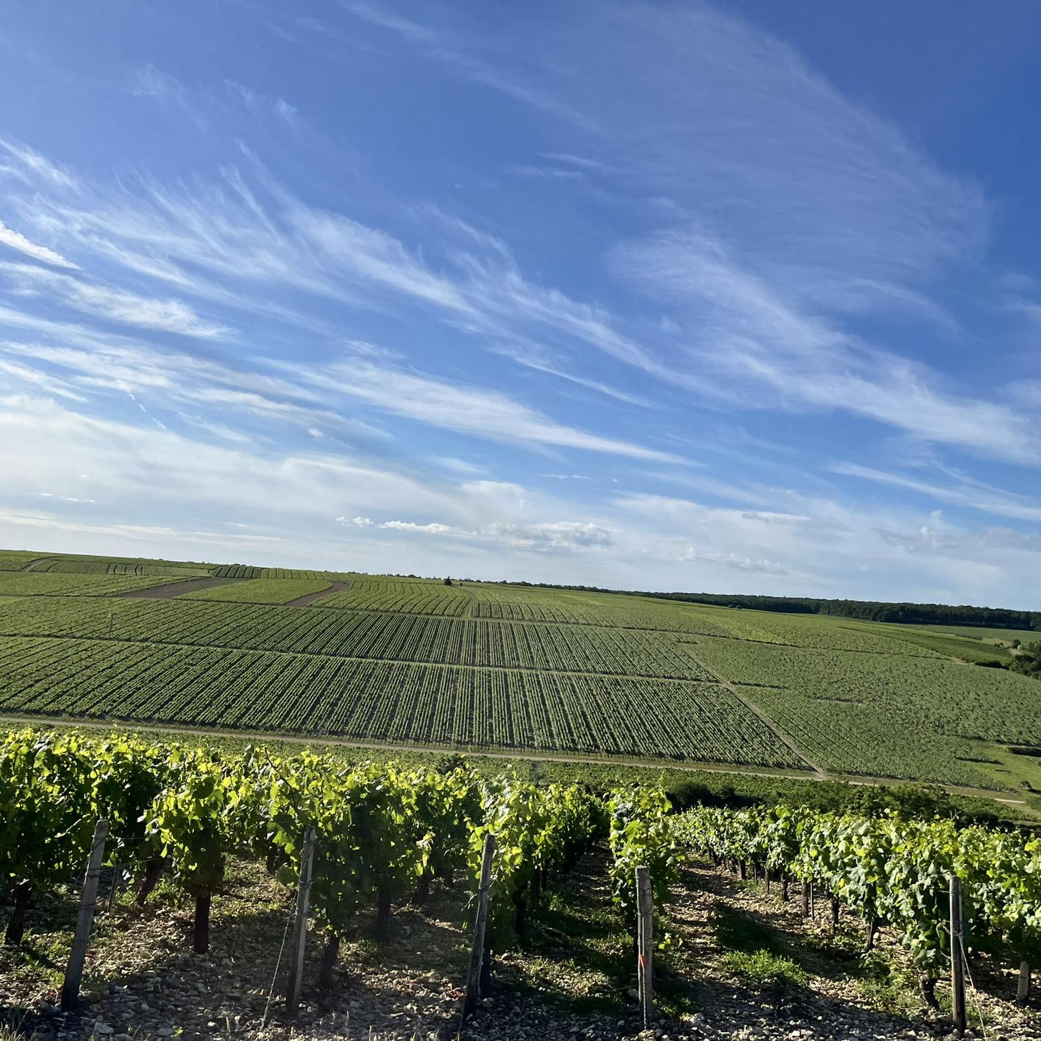
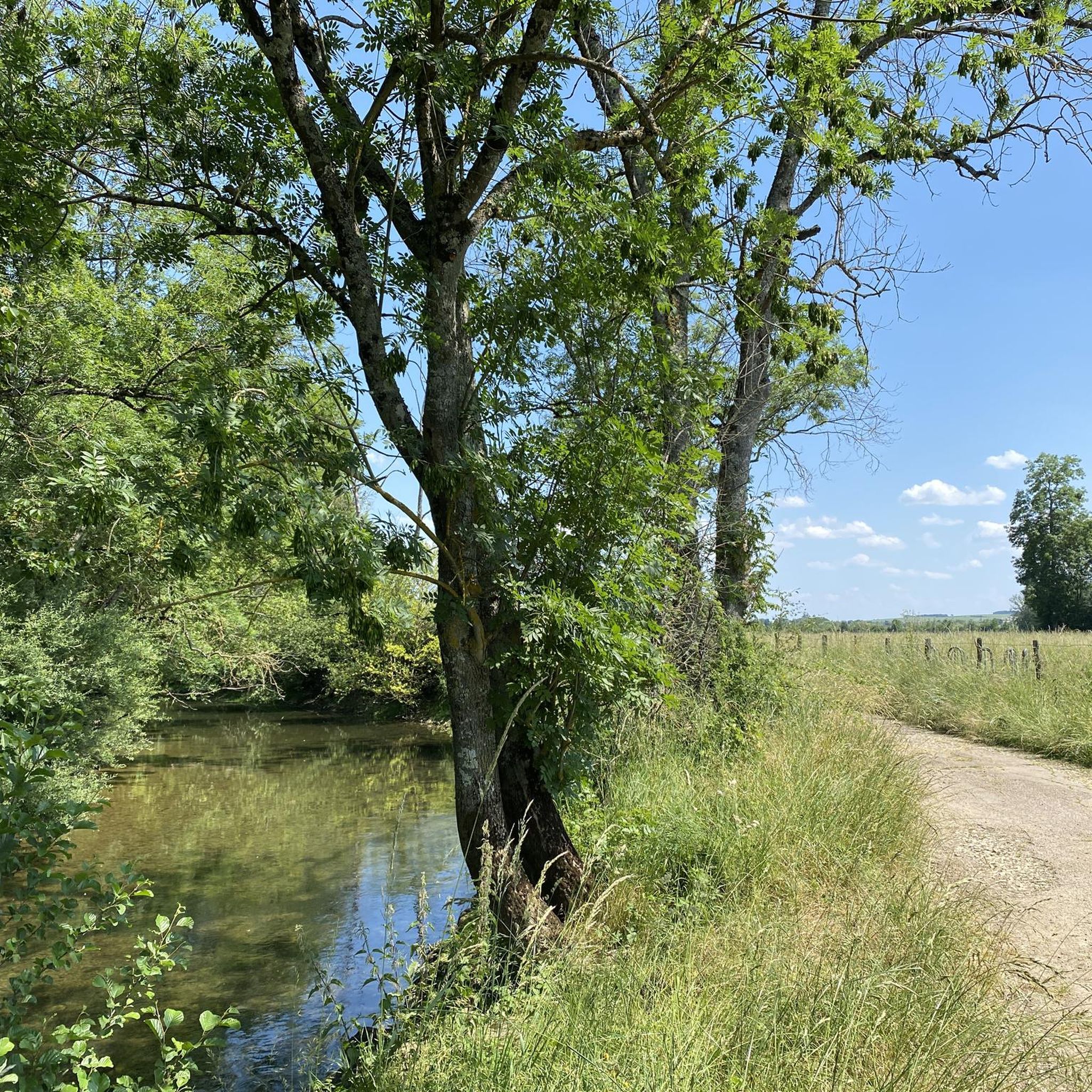
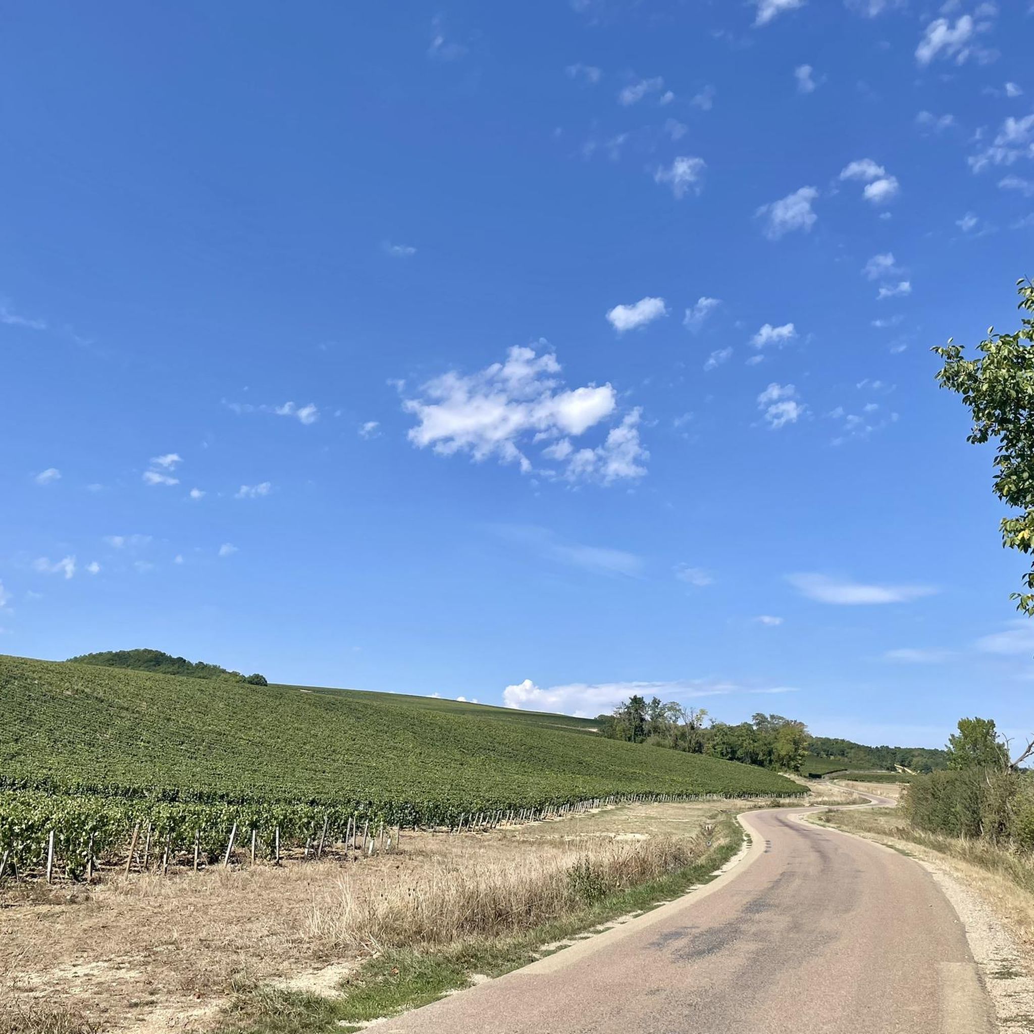
Hiking around Pontigny offers a blend of tranquil countryside, rolling hills, and expansive fields. You'll often find trails following the gentle curves of the Serein and Yonne Rivers, providing peaceful riverside ambles. The region is also characterized by its proximity to the Chablis vineyards, offering unique walks through wine country, and dense forests like the Forest of Pontigny.
Are there any circular hiking routes in the Pontigny area?
Yes, many of the trails around Pontigny are circular, allowing you to start and end at the same point. A popular choice is the Hiking loop from Rebourseaux, which is an easy 4.2 miles (6.8 km) route. Another option is the Lavoir de la Doué – Mont Washhouse loop from Mont-Saint-Sulpice, a 3.3 miles (5.3 km) easy loop.
What are some interesting landmarks or attractions to see while hiking near Pontigny?
The historic Cistercian Pontigny Abbey is a central attraction, often visible or accessible from nearby trails. You can also explore the charming Chablis Village and Vineyards, or visit the Canal de Bourgogne at Brienon-sur-Armançon. The View of Pontigny Abbey loop from Ligny-le-Châtel specifically offers scenic views of the abbey.
What do other hikers enjoy most about hiking in Pontigny?
The hiking trails in Pontigny are highly rated by the komoot community, with an average score of 4.6 stars from over 30 reviews. Hikers frequently praise the tranquil countryside, the varied scenery encompassing vineyards and river valleys, and the accessibility of routes for different ability levels.
Are there any dog-friendly hiking trails around Pontigny?
Many trails in the Pontigny region are suitable for dogs, especially those that traverse open fields and forests. It's always recommended to keep your dog on a leash, particularly when passing through agricultural areas or near wildlife. Always carry water for your pet and be mindful of local regulations.
What is the best time of year to go hiking in Pontigny?
The spring and autumn months are generally ideal for hiking in Pontigny. Spring brings blooming wildflowers and pleasant temperatures, while autumn offers beautiful foliage in the forests and vineyards. Summer can be warm, but riverside trails provide cooler options. Winter hiking is possible, but some paths might be muddy or require appropriate gear.
Are there hiking routes that offer views of the Chablis vineyards?
Yes, Pontigny's proximity to Chablis means you can find trails that wind through its famous vineyards. While not directly in Pontigny, routes originating from nearby villages often provide stunning views of the wine country. The Chablis Village and Vineyards is a highlight you can explore.
Are there any hikes with significant elevation gain for a more challenging experience?
The Pontigny region is generally characterized by gentle elevation changes, making most trails accessible. However, some routes offer slightly more ascent. For example, the Allees des troncs loop from Lordonnois, a moderate 5.2 miles (8.3 km) trail, features an elevation gain of around 83 meters, providing a bit more of a workout compared to the flatter riverside paths.
Is public transport available to access hiking trailheads near Pontigny?
While Pontigny itself is a small commune, public transport options to specific trailheads might be limited. It's often more convenient to access trails by car, as many routes start from village centers or designated parking areas. For detailed information on local transport, it's best to check regional bus schedules or consider driving to your chosen starting point.
Most popular attractions around Pontigny

Get inspired with the komoot mobile app


Explore more
Browse the best Hikes in other regions.
