The best road cycling routes around Grandcourt
4.4
(14)
780
riders
165
rides
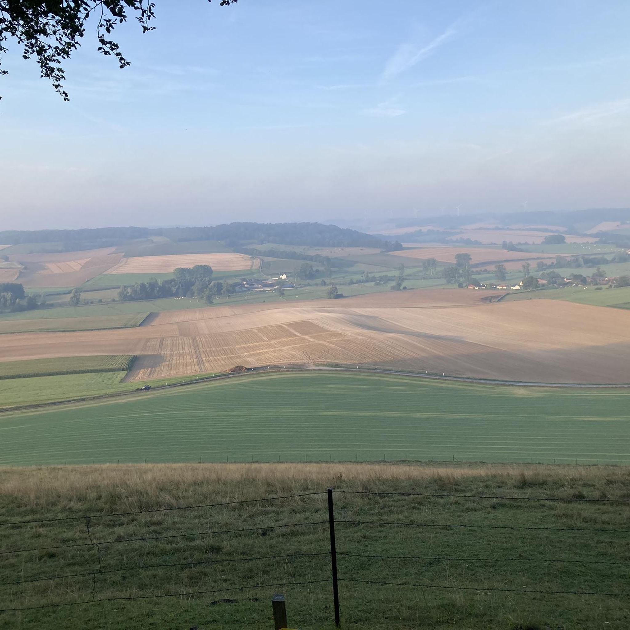
Road cycling around Grandcourt, located in the Somme department of France, features a landscape characterized by gently rolling hills and extensive agricultural fields. The region's terrain includes river valleys and scattered woodlands, offering varied gradients for road cyclists. Routes often pass through rural villages and near historical sites, providing a blend of natural and cultural points of interest.
Best road cycling routes around Grandcourt
- The most popular road cycling route is Water mill loop from Sept-Meules, a 6.3 miles…
Last updated: July 15, 2026
31
riders
10.1km
00:27
40m
40m
Easy road ride. Great for any fitness level. Mostly well-paved surfaces and easy to ride.
9
riders
55.6km
02:47
600m
600m
Moderate road ride. Good fitness required. Mostly well-paved surfaces and easy to ride.

Sign up for free
7
riders
83.0km
03:47
700m
700m
Moderate road ride. Good fitness required. Some segments of this route may be unpaved and difficult to ride.
5.0
(1)
12
riders
65.7km
02:57
710m
710m
Moderate road ride. Good fitness required. Mostly well-paved surfaces and easy to ride.
11
riders
62.2km
02:43
500m
500m
Moderate road ride. Good fitness required. Mostly well-paved surfaces and easy to ride.
Get access to more routes and recommendations from other explorers.
Sign up for free
Already have an account?
Our route recommendations are based on thousands of hikes, rides, and runs completed by other people on komoot.
Start today with a free account
Your next adventure awaits.
Login or Signup
Tips from the Community

a beautiful old carousel on the beach
3
0


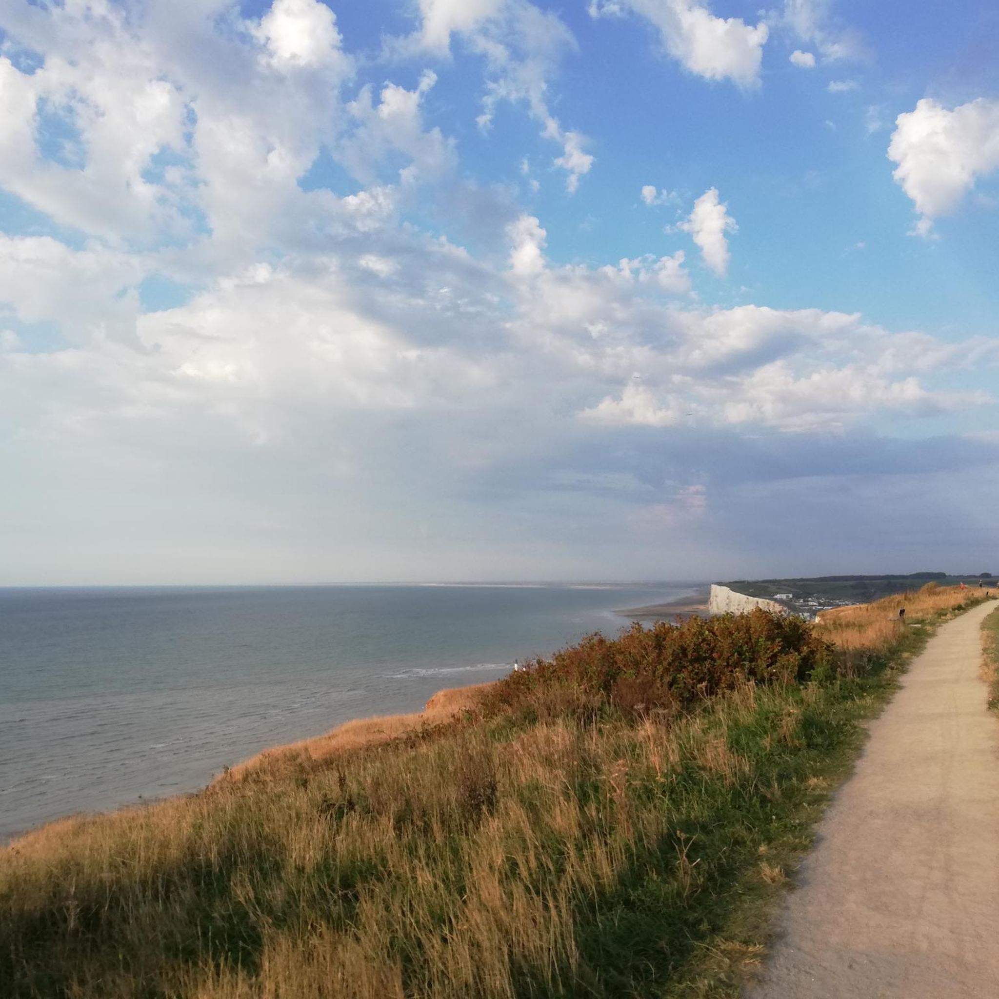
The cliffs are made of chalk and are impressive to look at.
3
0
Here in Ault begin the chalk cliffs, which stretch all the way to Normandy and repeatedly appear as enormous cliffs.
4
0

Lovely passage under the viaduct with a beautiful pond and animals Possibility of crossing it on gravel by following the green path
0
0

The cliffs around the beach of Ault are composed of chalk from the Upper Cretaceous, more precisely from the Turonian and Coniacian (around 83 million years ago to 90 million years ago). They are strewn with flint nodules which highlight the subhorizontal stratification planes (the formation of flint has already been discussed in Discovery of the geology of the cliffs of Étretat, presentation of an excursion from the beach of Tilleul (Antifer) to the Porte d'Amont (Étretat Nord)). The relative proportion of chalk and flint is around 90-95% chalk to 5-10% flint. Flint horizons are stratigraphic markers. On the cliffs of Ault, the regular flint band called Seven Sisters is recognizable and characterizes the boundary between the Middle Coniacian and the Upper Coniacian (around 87 million years ago). The boundary between the lower and middle Coniacian is marked by the Shoreham 2 marl level, which is more difficult to identify. These lithostratigraphic markings allow in particular the correlation of distant deposits, such as between the Normandy and Picardy coasts, or between the French and English coasts.
3
0
The cliffs around the beach of Ault are composed of chalk from the Upper Cretaceous, more precisely from the Turonian and Coniacian (around 83 million years ago to 90 million years ago). They are strewn with flint nodules which highlight the subhorizontal stratification planes (the formation of flint has already been discussed in Discovery of the geology of the cliffs of Étretat, presentation of an excursion from the beach of Tilleul (Antifer) to the Porte d'Amont (Étretat Nord)). The relative proportion of chalk and flint is around 90-95% chalk to 5-10% flint. Flint horizons are stratigraphic markers. On the cliffs of Ault, the regular flint band called Seven Sisters is recognizable and characterizes the boundary between the Middle Coniacian and the Upper Coniacian (around 87 million years ago). The boundary between the lower and middle Coniacian is marked by the Shoreham 2 marl level, which is more difficult to identify. These lithostratigraphic markings allow in particular the correlation of distant deposits, such as between the Normandy and Picardy coasts, or between the French and English coasts.
2
0

Ault is a beautiful place. Beautifully laid out paths above and below the impressive cliffs. The town center is perfect for relaxing. There are a few cafes and bistros for when you get a little hungry. There are benches everywhere where you can sit and enjoy a few minutes of peace and the wonderful views.
1
0
Frequently Asked Questions
What is the general terrain like for road cycling around Grandcourt?
Road cycling around Grandcourt, located in the Somme department of France, features a landscape characterized by gently rolling hills and extensive agricultural fields. You'll also encounter river valleys and scattered woodlands, offering varied gradients suitable for different cycling preferences.
How many road cycling routes are available in the Grandcourt area?
There are over 170 road cycling routes around Grandcourt, catering to a wide range of abilities. This includes approximately 20 easy routes, over 120 moderate routes, and around 25 challenging options.
Are there any easy road cycling routes suitable for beginners or a relaxed ride?
Yes, Grandcourt offers several easy routes. For a relaxed ride through the countryside, consider the Water mill loop from Sept-Meules, which is about 10 km with minimal elevation gain. Another easy option is the Water mill loop from Grandcourt, covering approximately 24.5 km.
What kind of historical sites or landmarks can I see along the road cycling routes?
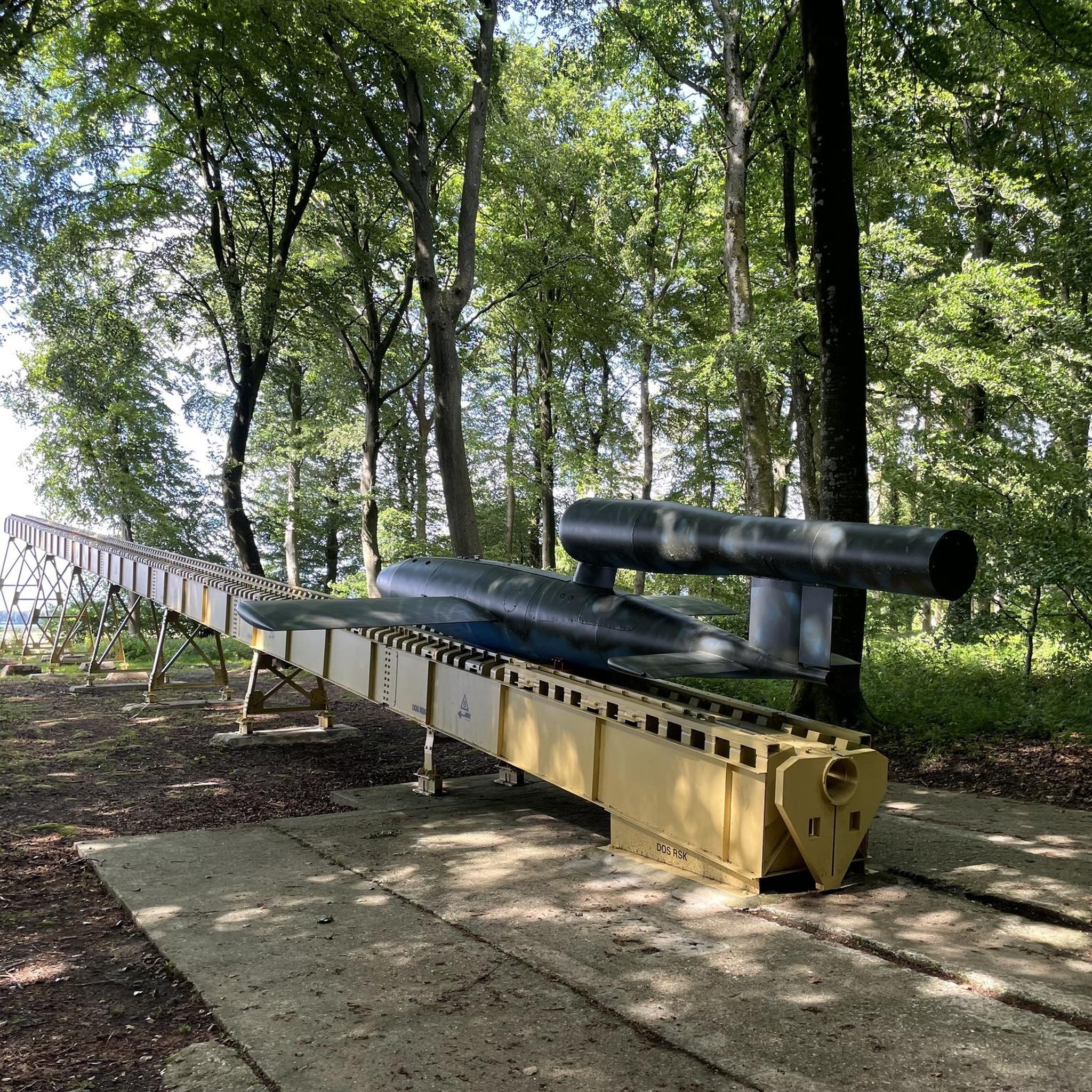
The routes often pass through rural villages and near historical sites. Notable attractions include the V1 Launch Site of Guerville, the Site of Queen Mother Elizabeth, and the ancient city of Briga. Many routes offer a blend of natural and cultural points of interest.
Are there any longer or more challenging road cycling routes for experienced cyclists?
Absolutely. For a moderate but longer ride, the Abbaye Notre-Dame Foucarmont – Rue du Fond Pignon loop from Grandcourt is a popular choice, spanning over 56 km with significant elevation gain. Another option is the V1 Launch Site of Guerville – Water mill loop from Guerville, which is approximately 70 km.
What do other cyclists say about road cycling in Grandcourt?
The road cycling routes in Grandcourt are highly rated by the komoot community, with an average score of 4.8 stars from over 8 reviews. Cyclists often praise the varied terrain, from gentle agricultural landscapes to river valleys, and the opportunity to pass through charming rural villages and historical sites.
Is Grandcourt a good destination for family-friendly road cycling?
Given the presence of easy routes with minimal elevation gain, such as the Water mill loop from Sept-Meules, Grandcourt can be suitable for family-friendly road cycling, especially for those looking for a relaxed pace through the countryside. Always check individual route details for specific suitability.
What is the best time of year to go road cycling in Grandcourt?
The region's climate, typical of Picardie and the Somme Valley, generally offers pleasant conditions for cycling during spring, summer, and early autumn. These seasons provide milder temperatures and less chance of adverse weather, making for a more enjoyable experience on the roads.
Are there any circular road cycling routes around Grandcourt?
Yes, many of the routes around Grandcourt are designed as loops, allowing you to start and finish in the same location. Examples include the Abbaye Notre-Dame Foucarmont – Rue du Fond Pignon loop from Grandcourt and the V1 Launch Site of Guerville – Château d'Eu loop from Guerville.
Where can I find parking for road cycling routes in Grandcourt?
While specific parking locations are not detailed for every route, many routes start from or pass through villages. It is generally advisable to look for public parking areas within these villages or near known trailheads. Always check local signage for parking regulations.
Are there any natural features or scenic viewpoints to enjoy while cycling?
The region is characterized by extensive agricultural fields, river valleys, and scattered woodlands, offering picturesque views of the French countryside. You'll experience varied natural scenery throughout your rides, including the Marais de Gousseauville, a natural marshland area.
Can I access road cycling routes in Grandcourt using public transport?
Information on specific public transport access directly to route starting points in Grandcourt is limited. However, the region is part of the Somme department in France, and larger towns nearby may offer public transport connections. It's recommended to check local bus or train schedules for connections to villages near your chosen route.
Most popular attractions around Grandcourt

Get inspired with the komoot mobile app


Explore more
Browse the best Road cycling routes in other regions.
