The best running trails in the Sierra Madre
5.0
(3)
614
runners
17
runs
Jogging in the Sierra Madre offers diverse terrain for runners, from challenging mountain ascents to more moderate trails. The region is characterized by its proximity to the Angeles National Forest, providing access to vast wilderness areas. Trails often lead through lush forests, rocky terrains, and shaded canyons, with varied elevation changes. This environment caters to different fitness levels, offering both demanding mountain routes and easier paths.
Best jogging routes in the Sierra Madre
- The most popular jogging route is Mt.…
Last updated: July 5, 2026
110
runners
11.2km
01:30
420m
420m
Hard run. Very good fitness required. Mostly paved surfaces. Suitable for all skill levels.
76
runners
23.0km
03:30
1,180m
1,180m
Hard run. Very good fitness required. Mostly paved surfaces. Suitable for all skill levels.

Sign up for free
32
runners
17.8km
02:48
1,050m
1,050m
Hard run. Very good fitness required. Mostly paved surfaces. Suitable for all skill levels.
18
runners
13.6km
01:57
470m
470m
Hard run. Very good fitness required. Mostly paved surfaces. Suitable for all skill levels.
21
runners
15.6km
01:42
330m
330m
Hard run. Very good fitness required. Mostly paved surfaces. Suitable for all skill levels.
16
runners
8.41km
00:52
20m
20m
Moderate run. Good fitness required. Mostly paved surfaces. Suitable for all skill levels.
5.0
(1)
15
runners
Moderate run. Good fitness required. Mostly paved surfaces. Suitable for all skill levels.
Get access to more routes and recommendations from other explorers.
Sign up for free
Already have an account?
Our route recommendations are based on thousands of hikes, rides, and runs completed by other people on komoot.
Start today with a free account
Your next adventure awaits.
Login or Signup
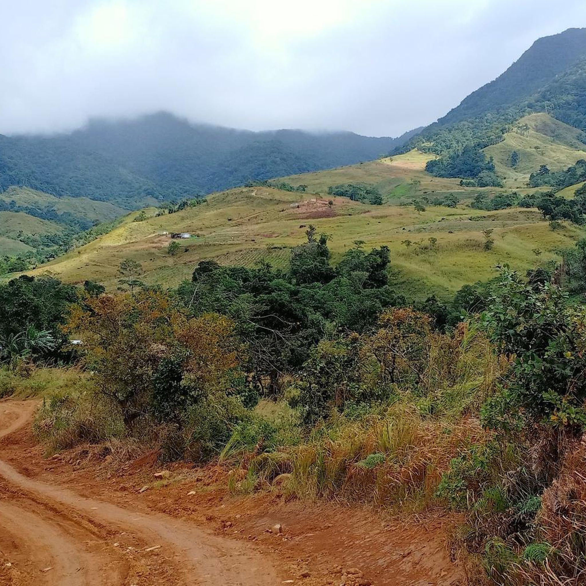
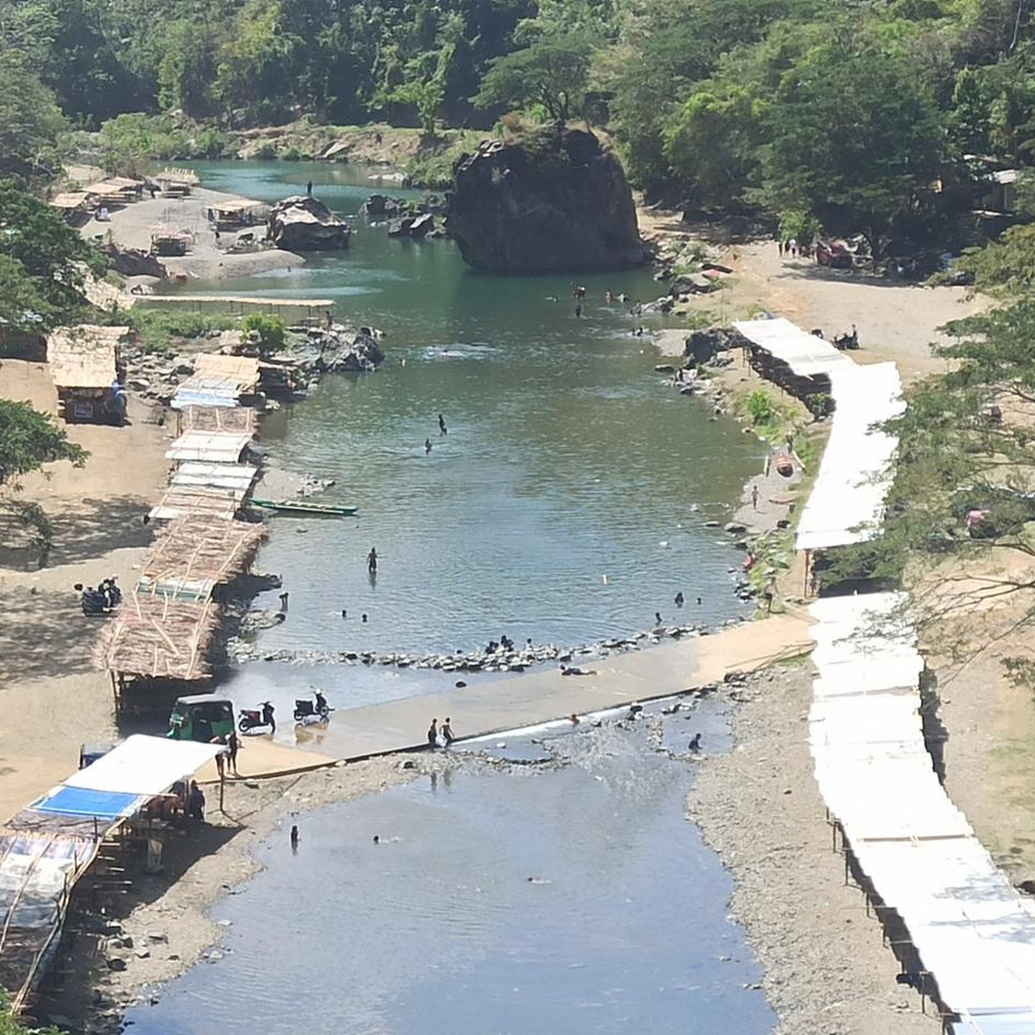
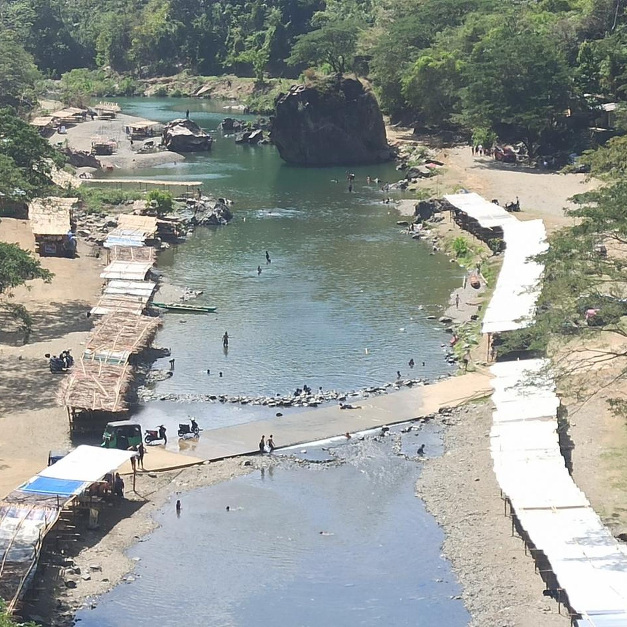
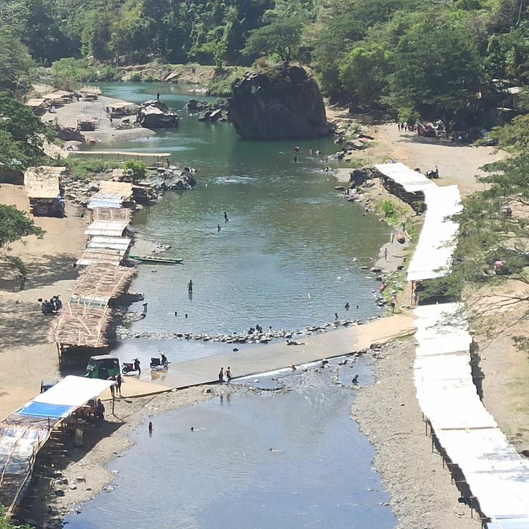
Tips from the Community

The view is spectacular. You get a 360 degree view of the city below and the mountains of Sierra. But be prepared to push your bike along the dusty and loose terrain. Riding it up is nearly next to impossible is some segments but you can try. There are camp grounds along the way. Good for bikepacking and hiking.
0
0
Frequently Asked Questions
How many running routes are available in the Sierra Madre region?
The Sierra Madre region offers nearly 20 dedicated running routes, catering to various fitness levels. These include a mix of easy, moderate, and challenging trails, with 10 routes rated as difficult, 6 as moderate, and 1 as easy.
Are there any easy jogging routes for beginners in Sierra Madre?
Yes, for those seeking a less strenuous run, there is at least one easy route available. Additionally, some moderate routes like the Duongan bridge loop from Baler offer a relatively flat profile, making them suitable for a quicker, less challenging run.
What kind of terrain can I expect on the running trails in Sierra Madre?
Jogging routes in Sierra Madre feature diverse terrain, ranging from lush forests and shaded canyons to rocky paths and mountainous ascents. Many trails offer varied elevation changes, providing options for both demanding mountain challenges and more moderate paths. The region's proximity to the Angeles National Forest means direct access to vast wilderness areas.
Are there any circular running routes in Sierra Madre?
Yes, many of the popular running routes in Sierra Madre are loops. For example, challenging options include the Mt. Parawagan Peak loop from Pamitinan Protected Landscape and the Mount Ayaas – Mount Malemod loop from Pamitinan Protected Landscape. A moderate loop option is the Duongan bridge loop from Baler.
What are some notable landmarks or natural features I might see while running in Sierra Madre?
The Sierra Madre region offers several interesting sights. You might encounter the Bitbit Bridge, the Camp Sinai Ten Commandments Monument, or the scenic Little Baguio Sapinit Road. For those reaching higher elevations, Hapunang Banoy (Mascap Peak) offers impressive views.
What do other runners say about the jogging experience in Sierra Madre?
The running routes in Sierra Madre are highly regarded by the komoot community, boasting an average rating of 5.0 stars from over 3 reviews. Runners often praise the diverse landscapes, varied elevation changes, and the opportunity to connect with nature within the Angeles National Forest.
Are there any challenging mountain running routes in Sierra Madre?
Absolutely. Sierra Madre is known for its challenging mountain routes, with 10 out of 17 routes rated as difficult. Trails like the Mt. Parawagan Peak loop from Pamitinan Protected Landscape and the Mount Ayaas – Mount Malemod loop from Pamitinan Protected Landscape feature significant elevation gains and lead to panoramic views, perfect for experienced trail runners.
Is Sierra Madre suitable for family-friendly jogging or running with children?
While many routes are challenging, the region does offer easier paths suitable for families. The community also hosts events like the 'Firecracker 4th of July 5k Fun Run,' which is a family-friendly, untimed race, indicating a welcoming environment for all ages. Look for routes specifically marked as 'easy' or 'moderate' for a more relaxed family experience.
What is the best time of year to go jogging in Sierra Madre?
Sierra Madre's location at the base of the San Gabriel Mountains provides a pleasant environment for outdoor activities. While specific seasonal recommendations depend on personal preference for temperature and trail conditions, the diverse terrain means running is generally enjoyable year-round. Always check local weather conditions before heading out.
Are there any routes that offer views of the San Gabriel Valley or Los Angeles Basin?
Yes, many trails in the Sierra Madre, particularly those ascending into the San Gabriel Mountains, offer stunning vistas. The iconic Mount Wilson Trail, for instance, rewards runners with panoramic views of the San Gabriel Valley and the Los Angeles Basin from its higher sections.
What is the longest running route available in Sierra Madre?
One of the longer and more challenging routes is the Mount Ayaas – Mount Malemod loop from Pamitinan Protected Landscape, which spans approximately 14.3 miles (23.0 km) and involves significant elevation gain, typically taking around 3 hours 29 minutes to complete.
Are there any running routes that involve crossing streams or offer a shaded environment?
Yes, some routes, particularly those in canyon areas, offer shaded environments and may involve stream crossings. For example, the Chantry Flat to Sturtevant Falls route, while primarily known for hiking, meanders through a shaded canyon and crosses streams, leading to a picturesque waterfall, making it suitable for a scenic run.
Most popular attractions in the Sierra Madre

Get inspired with the komoot mobile app


Explore more
Browse the best Running Trails & Routes in other regions.
