The best cycling routes around Touët-Sur-Var
4.7
(28)
621
riders
32
rides
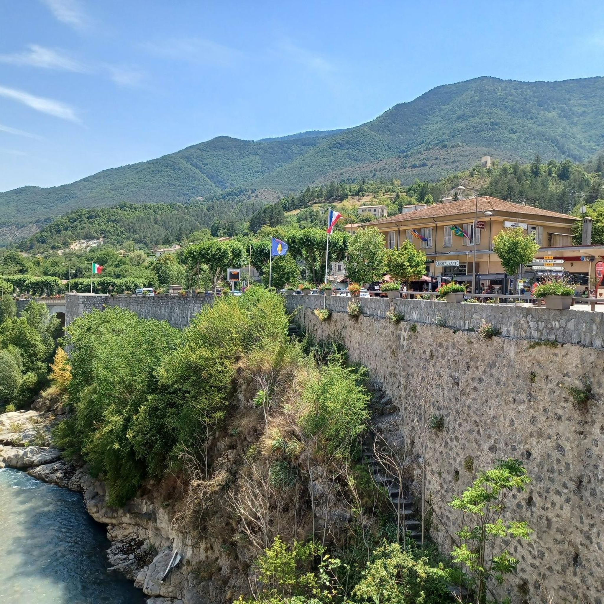
Touring cycling around Touët-Sur-Var offers routes through varied terrain in the Alpes-Maritimes department. The village is situated above the Var River, with the Cians River also traversing the commune, providing access to the dramatic Gorges du Cians. The landscape features rolling hills, pine forests, and mountains, characteristic of the Provence-Alpes-Côte d'Azur region. This area provides a diverse backdrop for cycling, from river valleys to mountain ascents.
Best touring cycling routes around Touët-Sur-Var
- The most popular touring cycling route is Vallee…
Last updated: July 9, 2026
4.8
(6)
34
riders
39.4km
03:01
1,030m
1,030m
Hard bike ride. Very good fitness required. Mostly paved surfaces. Suitable for all skill levels.
12
riders
20.8km
01:28
420m
420m
Cycle the Azur Loop No. 1: Between Var and Esteron, a moderate 12.9-mile route through the Préalpes d'Azur Regional Natural Park.

Sign up for free
86
riders
88.3km
06:23
1,910m
1,910m
Hard bike ride. Very good fitness required. Mostly paved surfaces. Suitable for all skill levels.
39
riders
47.3km
03:41
1,280m
1,280m
Hard bike ride. Very good fitness required. Mostly paved surfaces. Suitable for all skill levels.
64
riders
131km
09:19
2,590m
2,590m
Hard bike ride. Very good fitness required. Mostly paved surfaces. Suitable for all skill levels.
Get access to more routes and recommendations from other explorers.
Sign up for free
Already have an account?
Our route recommendations are based on thousands of hikes, rides, and runs completed by other people on komoot.
Start today with a free account
Your next adventure awaits.
Login or Signup


Tips from the Community

The Col de la Couillole is a mountain pass in the Massif du Mercantour-Argentera of the French Alps, situated at an altitude of 1,678 m (5,505 ft) in the Alpes-Maritimes department, France. The road connection is open for six to seven months of the year, allowing travel between the Cians gorges in the west and the Tinée valley in the east.
0
0

The Col des Champs is a mountain pass with an altitude of 2,087 meters and connects Haute-Provence with the Alpes-Maritimes, all within the Mercantour National Park. The pass is part of the so-called Route des Trois Cols, an interesting circular route with three passes above 2,000 meters. This route connects the Col d'Allos with the Col de la Cayolle via this pass, thus linking the Allos Valley (Haute-Verdon) with the Var Valley. Its two slopes share the ruggedness of a major Alpine pass.
0
0

village of ascros hanging on a rock, frankly I recommend you go there by bike, it's magical and magnificent as a place
0
0

An absolutely worthwhile detour if you are driving the Route des grandes Alpes.
0
0


A spectacular passage, this bridge that connects the two mountains is stunning.
17
1

The La Mariée bridge was built from 1910 for the passage of the tramway that linked Pont de Geydan and Guillaumes. The construction site gave rise to technical feats in the Daluis gorges with the digging of tunnels and the construction of this spectacular bridge with a span of 58 meters. The line, 19 km long, took the same route as the current road. The work brought life to the valley but caused many victims, as evidenced by the commemorative plaques along the track. They were slowed down during the war of 1914-1918 and the tramway did not arrive in Guillaumes until 1923, but the line, with its costly maintenance, only operated for 6 years before its final shutdown in 1929. This structure is one of the first railway viaducts in an arch made of reinforced concrete in France. It owes its name to a tragic incident that occurred on July 30, 1927. A young, wealthy Parisian couple arrived on their honeymoon in Guillaumes and decided to visit the gorges at the end of the day. They stopped at the first bridge they came across on the road, then called the Tramway Bridge. The young bride is said to have leaned over to admire the view and fell into the gorges. In the absence of witnesses, the accident theory was favored, but the mysterious circumstances surrounding the young woman's disappearance have long fueled rumors. Closed to motor traffic, it now offers one of the best viewpoints over the Daluis gorges. So don't hesitate to stop there to enjoy it. With a bit of luck, you might also see daredevils bungee jumping there. https://www.youtube.com/watch?v=BxJ1N6wYt_o
4
0
Very beautiful road in the hollow of steep gorges with walls of red rocks. A place suitable for canyoning.
0
1
Frequently Asked Questions
How many touring cycling routes are available around Touët-Sur-Var?
There are over 25 touring cycling routes available around Touët-Sur-Var, offering a variety of experiences through the region's diverse landscapes.
What are the difficulty levels of touring cycling routes in Touët-Sur-Var?
The touring cycling routes around Touët-Sur-Var are primarily categorized as moderate or difficult. There are 4 moderate routes and 23 difficult routes, catering to cyclists looking for a challenge.
Are there any circular touring cycling routes in the Touët-Sur-Var area?
Yes, several routes are designed as loops. For example, the Vallee de l'Esteron – loop in the Regional Natural Park of the Prealpes d'Azur and Azur Loop No. 1: Between Var and Esteron are popular circular options, allowing you to start and end in the same location.
What kind of scenery can I expect on a touring cycling route around Touët-Sur-Var?
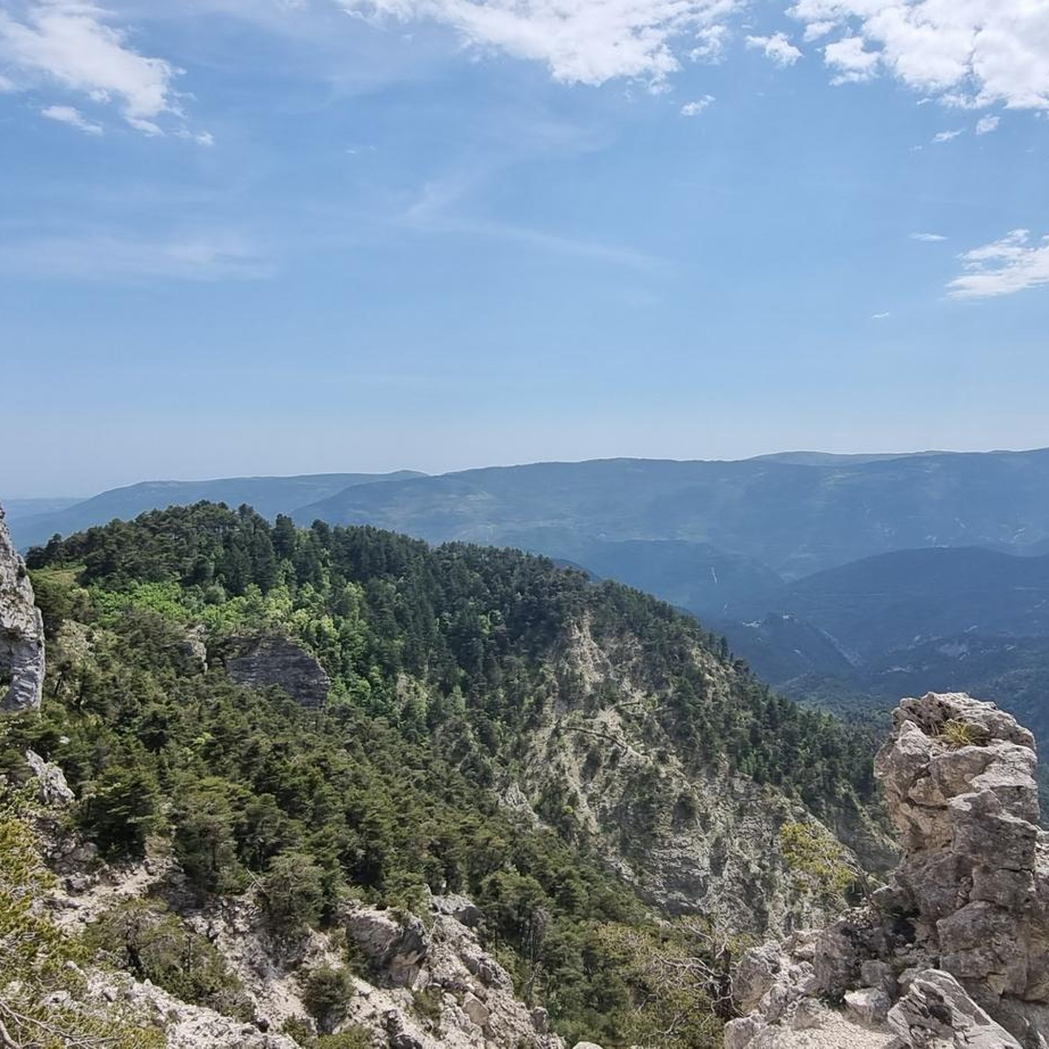
You can expect breathtaking scenery, including panoramic views of the Var valley, dramatic gorges like the Gorges du Cians, rolling hills, and lush pine forests. The region is characterized by its verdant landscapes and mountainous backdrop, typical of the Provence-Alpes-Côte d'Azur.
What are some notable landmarks or attractions to see while cycling near Touët-Sur-Var?
Beyond the natural beauty, you can explore the medieval village of Touët-Sur-Var itself, with its unique 'Tibetan-like' architecture and the 12th-century Church of Saint-Martin. Nearby attractions include the stunning Gorges du Cians, the charming village of Aiglun, and the historic Ascros Village and Castle.
What is the best time of year for touring cycling in Touët-Sur-Var?
The Provence-Alpes-Côte d'Azur region generally offers pleasant cycling conditions for much of the year. Spring and autumn are often ideal, with milder temperatures and beautiful natural colors. Summer can be warm, but routes through shaded forests or along river valleys can still be enjoyable.
Are there any particularly challenging touring cycling routes in the area?
Yes, Touët-Sur-Var is known for its challenging routes. The Gorges du Cians – Ascent to Col de la Couillole loop from Touët-sur-Var is a difficult 47.3 km route with significant elevation gain. Another demanding option is the Col de Saint-Raphaël (876 m) – Roquestéron loop from Puget-Théniers, covering 87.5 km with nearly 1900 meters of ascent.
How long do touring cycling routes typically take around Touët-Sur-Var?
Route durations vary significantly based on distance and elevation. Moderate routes like Azur Loop No. 1: Between Var and Esteron can take around 1 hour 30 minutes, while more difficult and longer routes such as View of Roubion – Col de la Couillole (1,678 m) loop from Puget-Théniers can take over 7 hours to complete.
What do other touring cyclists say about the routes in Touët-Sur-Var?
The touring cycling routes in Touët-Sur-Var are highly regarded by the komoot community, holding an average rating of 4.8 out of 5 stars from over 20 reviews. Cyclists often praise the stunning natural beauty, the challenging climbs, and the sense of adventure found in the Var valley and surrounding mountains.
Is public transport available to access touring cycling routes in Touët-Sur-Var?
Touët-Sur-Var is served by the 'Chemins de Fer de Provence' train line, which can provide access to the village and potentially nearby starting points for cycling routes. It's advisable to check specific train schedules and bike carriage policies if planning to use public transport.
Are there any routes that offer views of the Var River?
Many routes in the area will offer views of the Var River, as Touët-Sur-Var is dramatically perched overlooking it. The Azur Loop No. 1: Between Var and Esteron specifically highlights its proximity to both the Var and Esteron rivers, providing scenic riverside cycling.
Most popular attractions around Touët-Sur-Var

Get inspired with the komoot mobile app


Explore more
Browse the best Cycling routes in other regions.
