The best running trails around Les Molunes
4.4
(85)
4,271
runners
12
runs
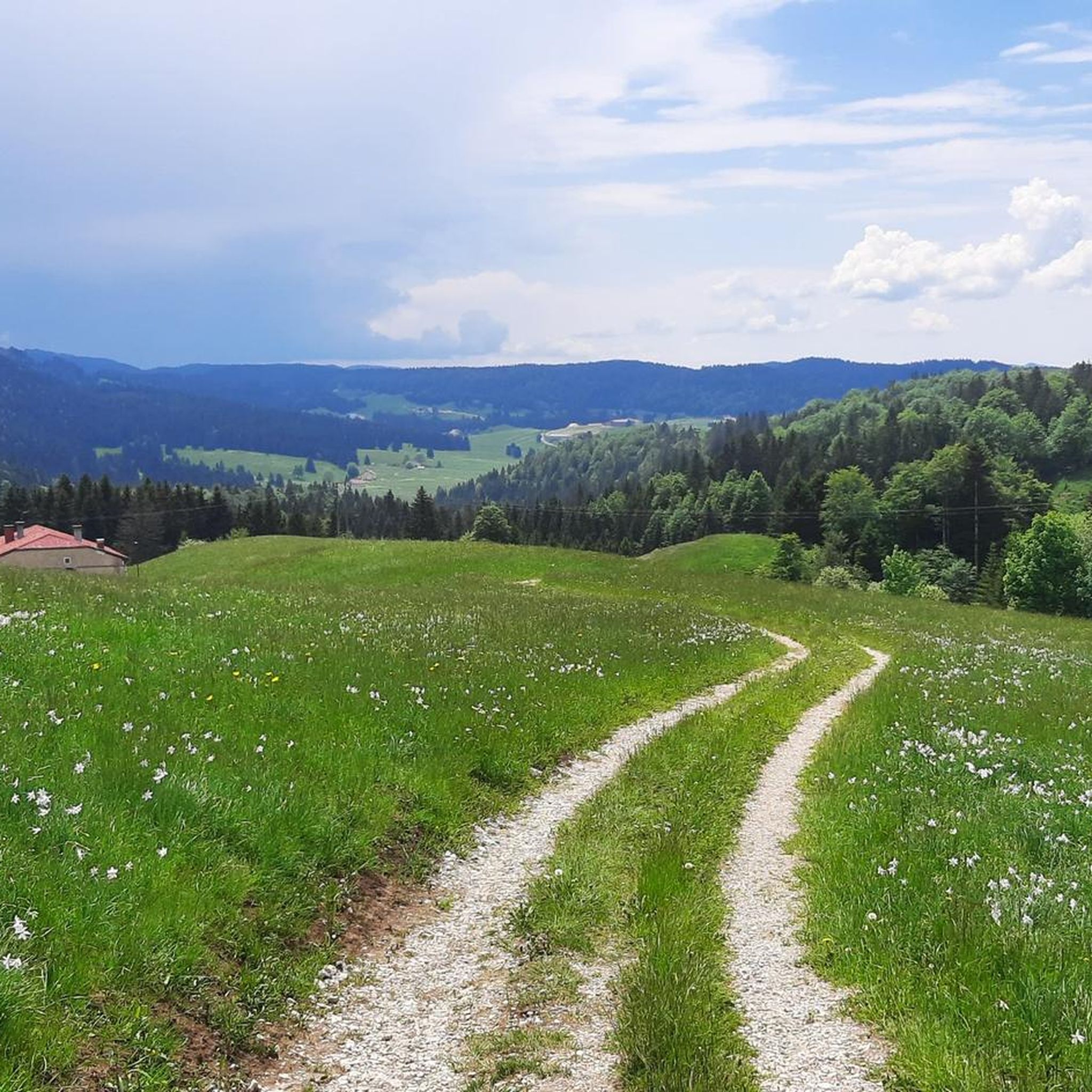
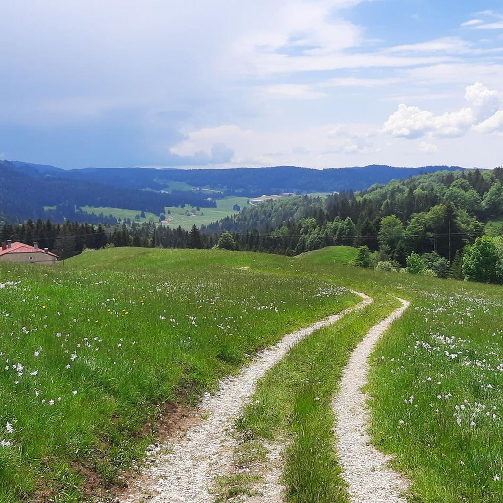
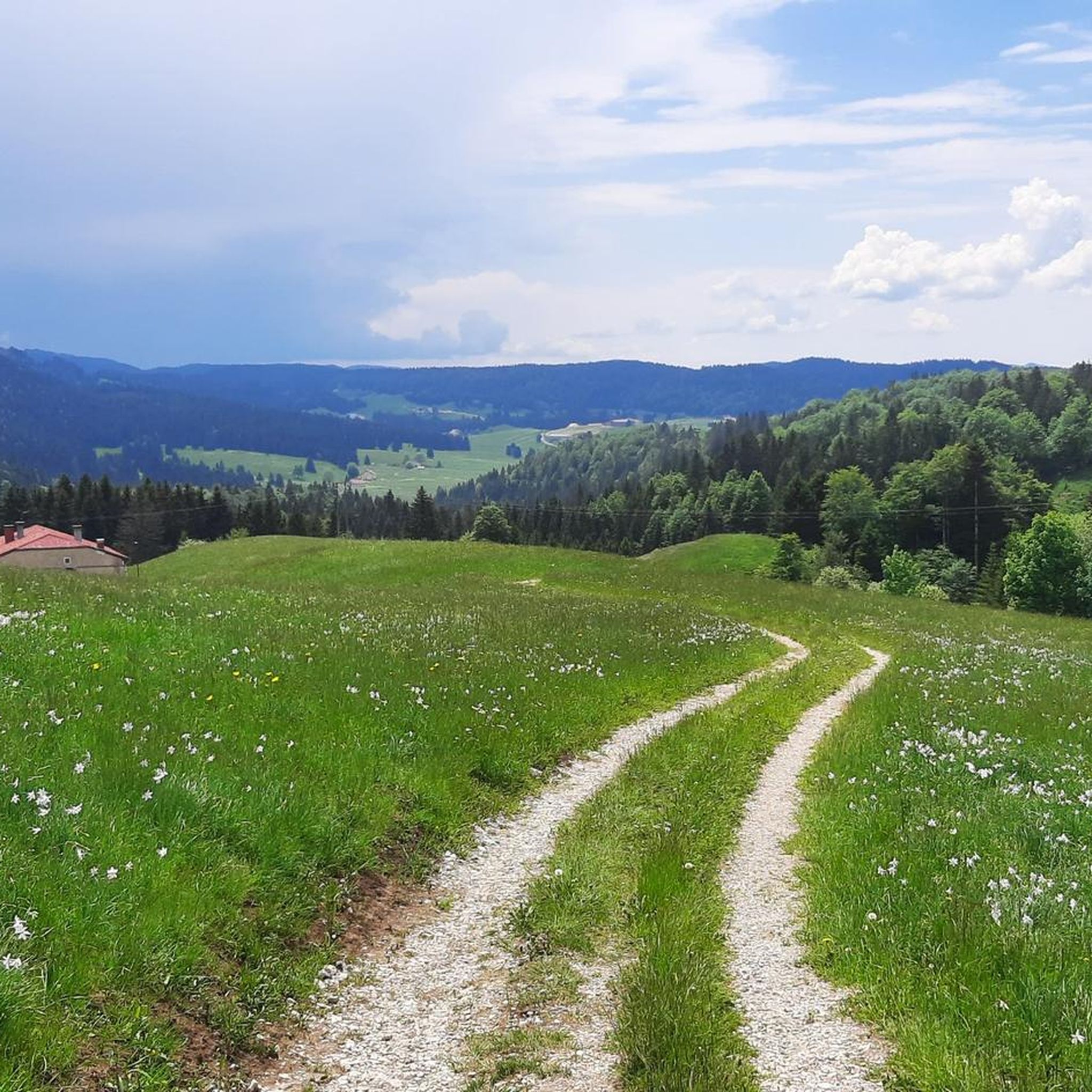
Jogging routes around Les Molunes offer diverse terrain within the Haut-Jura Regional Natural Park, situated at a high altitude of 1,270 meters. The landscape features vast forests, high-altitude pastures, and unique geological formations like dolines and combes. Panoramic views are available from various viewpoints, showcasing the Haute-Chaîne du Jura and prominent peaks. The region's natural beauty is further enhanced by water features such as the Cascades du Flumen and Gorges du Flumen.
Best jogging routes around Les Molunes
- The most…
Last updated: June 27, 2026
16
runners
6.08km
00:39
50m
50m
Moderate run. Good fitness required. Mostly paved surfaces. Suitable for all skill levels.
6
runners
10.5km
01:18
210m
210m
Moderate run. Good fitness required. Mostly paved surfaces. Suitable for all skill levels.

Sign up for free
5.0
(1)
13
runners
7.32km
00:59
200m
200m
Hard run. Good fitness required. Sure-footedness, sturdy shoes and alpine experience required.
5
runners
11.2km
01:11
140m
140m
Moderate run. Good fitness required. Mostly paved surfaces. Suitable for all skill levels.
5
runners
7.92km
00:51
130m
130m
Moderate run. Good fitness required. Mostly paved surfaces. Suitable for all skill levels.
Get access to more routes and recommendations from other explorers.
Sign up for free
Already have an account?
Our route recommendations are based on thousands of hikes, rides, and runs completed by other people on komoot.
Start today with a free account
Your next adventure awaits.
Login or Signup
Tips from the Community

Long pass, hard at the beginning but easier at the end. Big road but it goes through without any problem.
0
0

Nice bike café with outdoor terrace.
2
0

Quality welcome: technical assistance, coffee, pastries.
0
0

Warm welcome, good pie and a very pretty store, don't hesitate to stop there
3
0


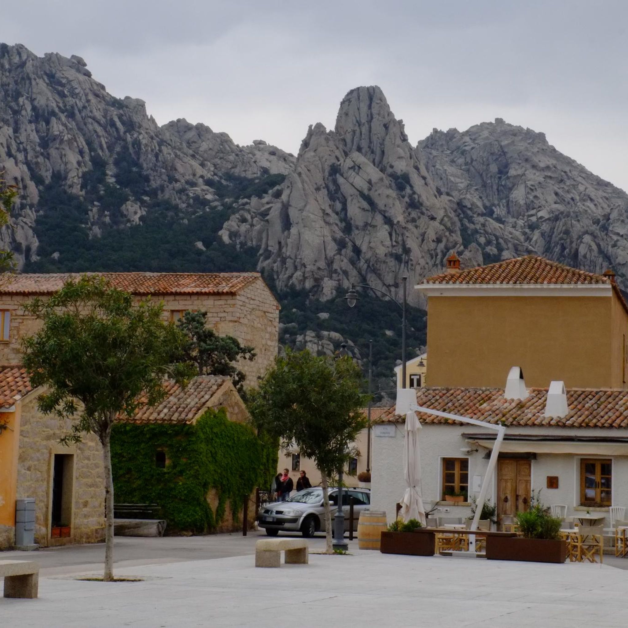
Very nice view of the Haut Jura plateau and the Crêt de Chalam
0
0

Between Mijoux and Spetmoncel, this pass is typical of those that can be found in the Jura and which oscillate for the most part between 1,100 and 1,200 meters in altitude.
2
0
Frequently Asked Questions
How many running routes are available in Les Molunes?
Les Molunes offers a diverse selection of over a dozen running routes. These trails cater to various fitness levels, with 7 routes classified as moderate and 5 as difficult, ensuring options for both experienced trail runners and those seeking a challenge.
What kind of terrain can I expect on the jogging trails around Les Molunes?
The jogging trails in Les Molunes, nestled within the Haut-Jura Regional Natural Park, feature a mountainous terrain with vast forests and high-altitude pastures. You'll encounter unique geological formations like 'dolines' (circular depressions) and 'combes' (valleys), providing a varied and scenic running experience.
Are there any easy running routes suitable for beginners or families in Les Molunes?
While many routes in Les Molunes are moderate to difficult, the region is part of the Haut-Jura trail-running area which offers itineraries of varying difficulty. For a gentler introduction, consider routes that start near landmarks like the Moulin Pierre-Louis, which are known for easier paths. Always check the route details for elevation and distance to ensure it matches your family's fitness level.
What are some notable natural features or viewpoints I can see while running in Les Molunes?
Les Molunes boasts spectacular panoramic views from various viewpoints. While on your run, you might encounter vistas from Belvédère de la Luette, Belvédère du Truchet, or Point de vue des Platières, offering views of the majestic Haute-Chaîne du Jura and peaks like Montrond and Crêt de la Neige. The region also features impressive water features such as the Cascades du Flumen and the Gorges du Flumen.
Are there any circular running routes in Les Molunes?
Yes, many of the running routes in Les Molunes are circular, allowing you to start and finish at the same point. For example, the BCShop Bike Shop and Café – Col de Magnard loop from Septmoncel is a moderate 6 km circular route, and the Running loop from Les Moussières is another moderate 7.9 km option.
What do other runners say about the trails in Les Molunes?
The running routes in Les Molunes are highly regarded by the komoot community, holding an average rating of 4.3 stars from over 80 reviews. Runners frequently praise the varied terrain, stunning natural beauty, and the well-maintained paths that make for an enjoyable outdoor experience.
Are there any specific landmarks or attractions near the running trails?
Beyond the natural beauty, you can find historical and natural landmarks. For instance, the Grenier Fort offers insight into local heritage, and the Moulin Pierre-Louis is a recognizable starting point for some trails. You might also pass by mountain passes like Col de Magnard or catch glimpses of peaks like Grand Montrond.
What is the best season for trail running in Les Molunes?
The diverse landscape of Les Molunes makes it appealing for trail running across seasons. Spring and autumn offer pleasant temperatures and vibrant scenery. Summer is also excellent, especially given the region's high altitude (1,270 meters), which can provide cooler conditions than lower areas. Winter offers opportunities for snowshoeing or cross-country skiing, but running trails might be covered in snow.
Are there any challenging running routes for experienced trail runners?
Absolutely. Les Molunes offers several challenging routes for experienced trail runners. A difficult option is the Plateau de Belle combe – Sous Cariche loop from Septmoncel les Molunes, an 19.2 km path exploring scenic pastures with significant elevation changes. The Running loop from Septmoncel les Molunes is another difficult 7.3 km trail through forested areas.
Can I find parking near the trailheads in Les Molunes?
Yes, many trailheads in Les Molunes, particularly those starting from Septmoncel or Les Moussières, typically have accessible parking options. It's always advisable to check specific route details or local signage for the most convenient parking spots before your run.
Are there any running routes that explore the Bellecombe pastures?
Yes, the scenic Bellecombe pastures are a highlight of the region. The Plateau de Belle combe – Sous Cariche loop from Septmoncel les Molunes is a challenging 19.2 km route specifically designed to explore these beautiful high-altitude pastures, offering stunning views and a rewarding run.
What is the highest point I might reach on a running route in Les Molunes?
Les Molunes itself is situated at a high altitude of 1,270 meters, making its town hall the highest in Franche-Comté. Many routes will take you through this elevated terrain, offering significant climbs and descents. While specific route maximum elevations vary, you'll be running in a high-altitude environment, often with views of prominent peaks like Crêt de la Neige and Crêt de Chalam in the distance.
Most popular routes around Les Molunes
Most popular attractions around Les Molunes

Get inspired with the komoot mobile app


Explore more
Browse the best Running Trails & Routes in other regions.
