The best walks and hikes around Mirandol-Bourgnounac
4.4
(192)
1,115
hikers
56
hikes
Hiking trails around Mirandol-Bourgnounac traverse a diverse landscape characterized by the wild Viaur Valley, extensive forests, and high plateaus. The region features shaded paths along the Viaur and Lézert rivers, offering varied terrain from gentle riverside walks to more challenging ascents. Panoramic views of the surrounding area are common from the plateau, sometimes extending to distant mountain ranges. This natural setting provides a range of hiking experiences.
Best hiking trails around Mirandol-Bourgnounac
- The most popular hiking route is Cirou Bridge – Beautiful forest path loop from Mirandol-Bourgnounac, a 3.8 miles (6.2 km) trail that takes 1 hour 48 minutes to complete. This moderate route leads through wooded areas and features the historic Cirou Bridge.
- Another top favourite among local hikers is Cirou Bridge – Beautiful forest path loop from Le Barrayrou, a moderate 5.1 miles (8.3 km) path. This trail offers views of the Viaur Valley and includes passages along the river.
- Local hikers also love the Observation tower loop from Jouqueviel, a 10.2 miles (16.5 km) trail leading through varied terrain, often completed in about 4 hours 55 minutes.
- Hiking around Mirandol-Bourgnounac is defined by the wild Viaur Valley, high plateaus with panoramic views, and extensive forests. The network offers options for different ability levels, from easy riverside strolls to more demanding climbs.
- The routes in Mirandol-Bourgnounac are highly rated by the komoot community with an average score of 4.4 stars from more than 150 reviews. More than 900 hikers have used komoot to explore Mirandol-Bourgnounac's varied terrain.
Last updated: October 18, 2026
4.7
(10)
73
hikers
9.55km
02:57
330m
330m
Moderate hike. Good fitness required. Easily-accessible paths. Suitable for all skill levels.
4.0
(2)
20
hikers
6.16km
01:48
160m
170m
Moderate hike. Great for any fitness level. Mostly accessible paths. Sure-footedness required.

5.0
(6)
26
hikers
6.97km
02:04
200m
200m
Moderate hike. Good fitness required. Easily-accessible paths. Suitable for all skill levels.
5.0
(5)
20
hikers
9.04km
02:49
330m
330m
Moderate hike. Good fitness required. Easily-accessible paths. Suitable for all skill levels.
5.0
(1)
5
hikers
8.30km
02:23
200m
200m
Moderate hike. Good fitness required. Easily-accessible paths. Suitable for all skill levels.
Get access to more routes and recommendations from other explorers.
Already have an account?
Our route recommendations are based on thousands of hikes, rides, and runs completed by other people on komoot.
Start today with a free account
Your next adventure awaits.


Tips from the Community

Sturdy footwear required! Beautiful tour!
0
0

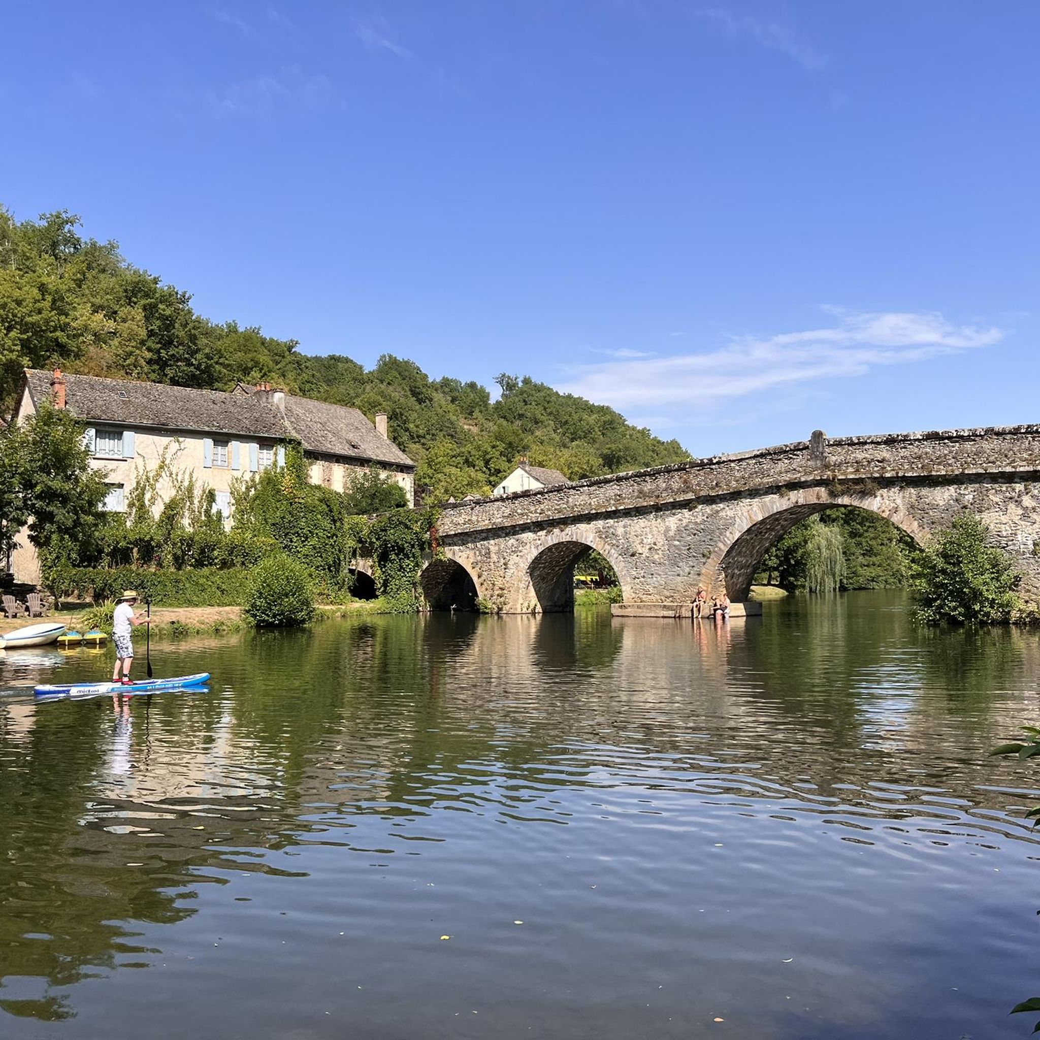
The Pont de Thuriès is a 13th Century bridge over the Viaur river that opened up trade between the Rouergue and the Albigeois regions. There is a picnic area nearby and you can also swim in the river.
0
0

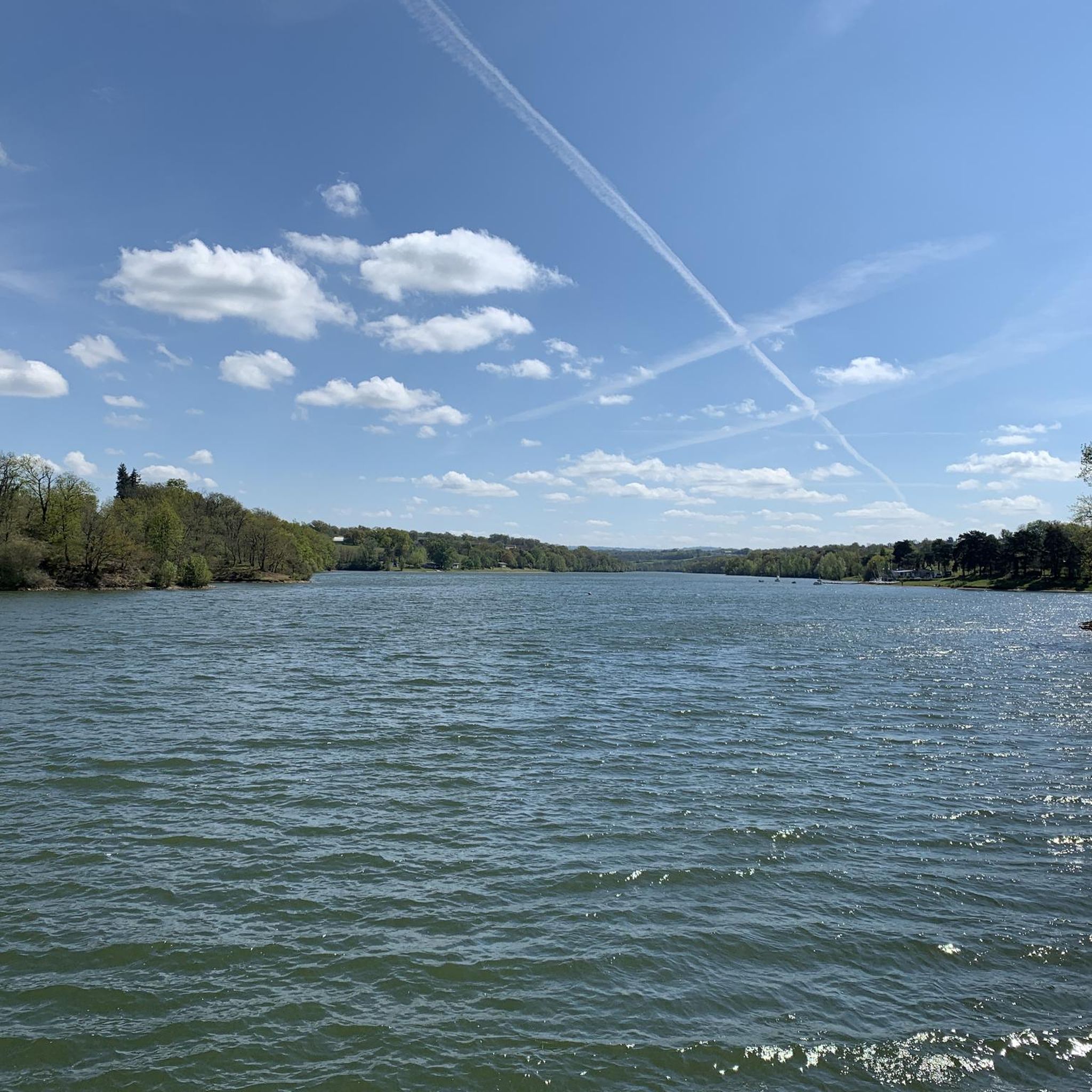
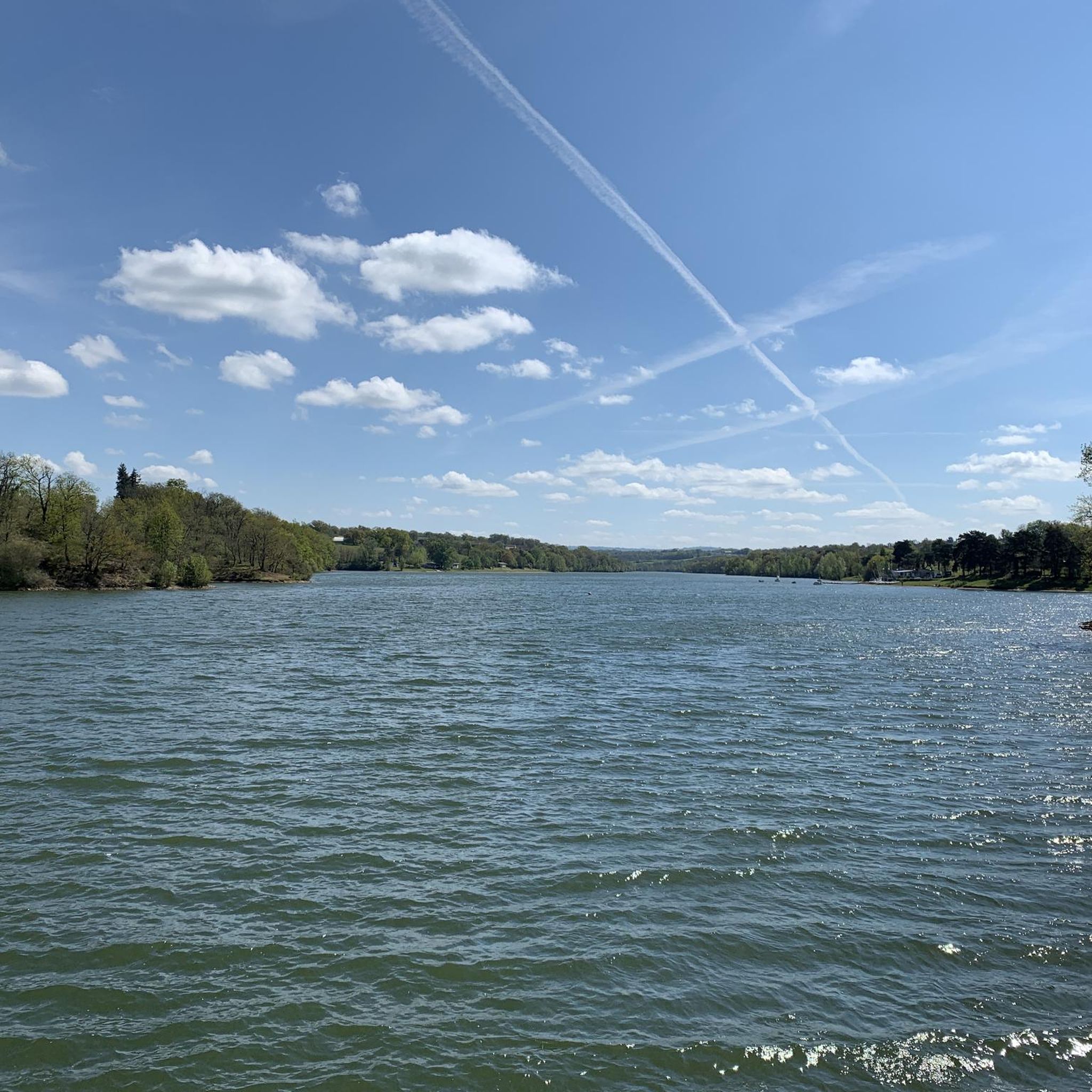
Meander on the Viaur having eroded a formidable rocky outcrop ideal for the establishment of a castle from the 13th century on the road leading from Toulouse to Lyon. Much later, the site took on an economic interest with the creation of a dam of more than 30 meters between 1919 and 1923.
1
0

Medieval bridge with six arches over the Viaur. A little swim and a drink at the bistro des 3 hiboux, right next door, recommended!
2
0

After the hike, first take a dip in the Viaur below the bridge, then a fresh craft beer at "Les Trois Hiboux". A dream!
2
1
Frequently Asked Questions
How many hiking trails are available in Mirandol-Bourgnounac?
There are over 60 hiking trails recorded in Mirandol-Bourgnounac, offering a wide range of options for different skill levels and preferences. You'll find everything from easy riverside strolls to more demanding climbs through the Viaur Valley.
What kind of terrain can I expect on hikes around Mirandol-Bourgnounac?
The terrain in Mirandol-Bourgnounac is diverse, characterized by the wild and wooded Viaur Valley, extensive forests, and high plateaus. You can expect shaded paths along the Viaur and Lézert rivers, as well as trails that ascend to plateaus offering magnificent panoramic views, sometimes extending to the Monts du Cantal and the Pyrenees on clear days. The routes often combine gentle paths with steeper sections.
What is the best time of year to go hiking in Mirandol-Bourgnounac?
Mirandol-Bourgnounac is enjoyable for hiking throughout much of the year. The shaded trails along the Viaur River are particularly pleasant during the summer months. Spring and autumn offer comfortable temperatures and beautiful scenery, with autumn bringing vibrant colors to the extensive forests. Even in winter, some trails can be explored, especially those on the high plateau offering expansive views.
Are there any historical landmarks or points of interest to see while hiking?
Yes, many trails incorporate historical landmarks. A prominent feature is the 14th-century Cirou Bridge, an ancient crossing point. You might also encounter the restored Moulin de Pignac, the Château de Mirandol, Chapelle Saint-Michel, and the Château de Jouqueviel. Other historical sites include the Mégalithe du Cheval du Roi, Chapelle Saint-Amans de Cadoule, and a Roman bridge at Bergougnoux, adding a cultural dimension to your natural exploration.
What natural features can I expect to encounter on the trails?
Hikers will experience the dramatic scenery of the Viaur Valley, with its wild and wooded character and the meandering Viaur River. Trails also follow the winding Lézert River. The region's high plateaus provide stunning panoramic views, while extensive forests offer ample shade and a sense of preservation. These diverse natural elements make for a varied and engaging hiking experience.
What do other hikers enjoy most about the trails in Mirandol-Bourgnounac?
The trails in Mirandol-Bourgnounac are highly rated by the komoot community, with an average score of 4.4 stars from over 150 reviews. Hikers frequently praise the wild and preserved nature of the Viaur Valley, the peaceful passages along the rivers, and the magnificent panoramic views from the high plateaus. The combination of varied terrain and historical points of interest also contributes to a highly enjoyable experience.
Are there any easy or family-friendly hiking options?
Yes, Mirandol-Bourgnounac offers a range of trails suitable for various fitness levels, including 16 easy routes. These often include gentle riverside walks or paths on the plateau. For example, the Cirou Bridge – Beautiful forest path loop from Mirandol-Bourgnounac is a moderate route that is popular and manageable for families looking for a pleasant walk through wooded areas.
Can I find circular hiking routes in the area?
Yes, many of the hiking routes in Mirandol-Bourgnounac are designed as circular loops, allowing you to start and end at the same point. Examples include the Cirou Bridge – Beautiful forest path loop from Mirandol-Bourgnounac and the Mirandol Chapel – Château de Mirandol loop from Mirandol-Bourgnounac, which offer convenient exploration of the region's highlights.
Are dogs allowed on the hiking trails in Mirandol-Bourgnounac?
While specific regulations for dogs on every trail are not universally posted, the natural and preserved character of Mirandol-Bourgnounac generally welcomes responsible dog owners. It's always recommended to keep dogs on a leash, especially near livestock or in protected natural areas, and to clean up after them to maintain the pristine environment for all users.
Is there parking available at the trailheads?
Yes, many of the popular hiking routes and starting points in Mirandol-Bourgnounac, particularly those originating from villages like Mirandol-Bourgnounac itself or Jouqueviel, typically have designated parking areas. It's advisable to check the specific tour details on komoot for information on parking at individual trailheads.
Are there any challenging hikes for experienced hikers?
Yes, for experienced hikers seeking more demanding routes, Mirandol-Bourgnounac offers 7 difficult trails. These often involve greater elevation changes as they descend into and climb out of the Viaur Valley, providing a more strenuous workout and rewarding views. The Observation tower loop from Jouqueviel, for instance, is a longer route with significant elevation gain.
Can I access the hiking trails using public transport?
Public transport options directly to all trailheads in Mirandol-Bourgnounac may be limited due to the rural nature of the area. While some villages might have bus services, accessing more remote starting points often requires a car. For detailed information on local transport, you might consult the official Tarn tourism website: tourisme-tarn.com.
Most popular routes around Mirandol-Bourgnounac
Most popular attractions around Mirandol-Bourgnounac

Get inspired with the komoot mobile app


Explore more
Browse the best Hikes in other regions.
