The best walks and hikes around Sainte-Marie-En-Chaux
4.0
(89)
360
hikers
32
hikes
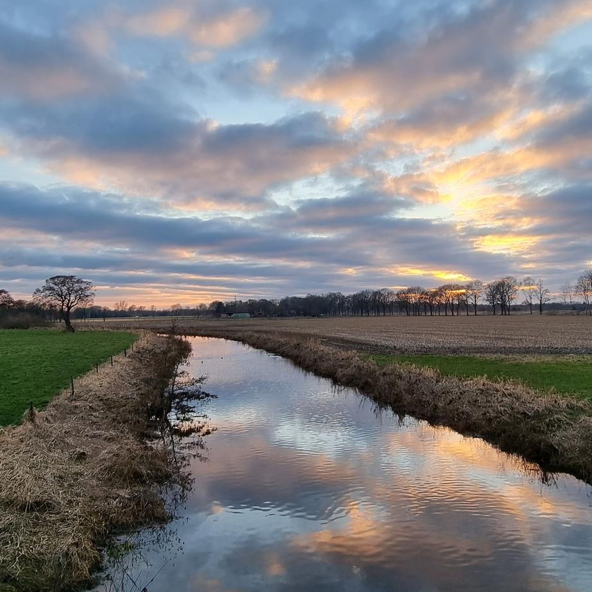
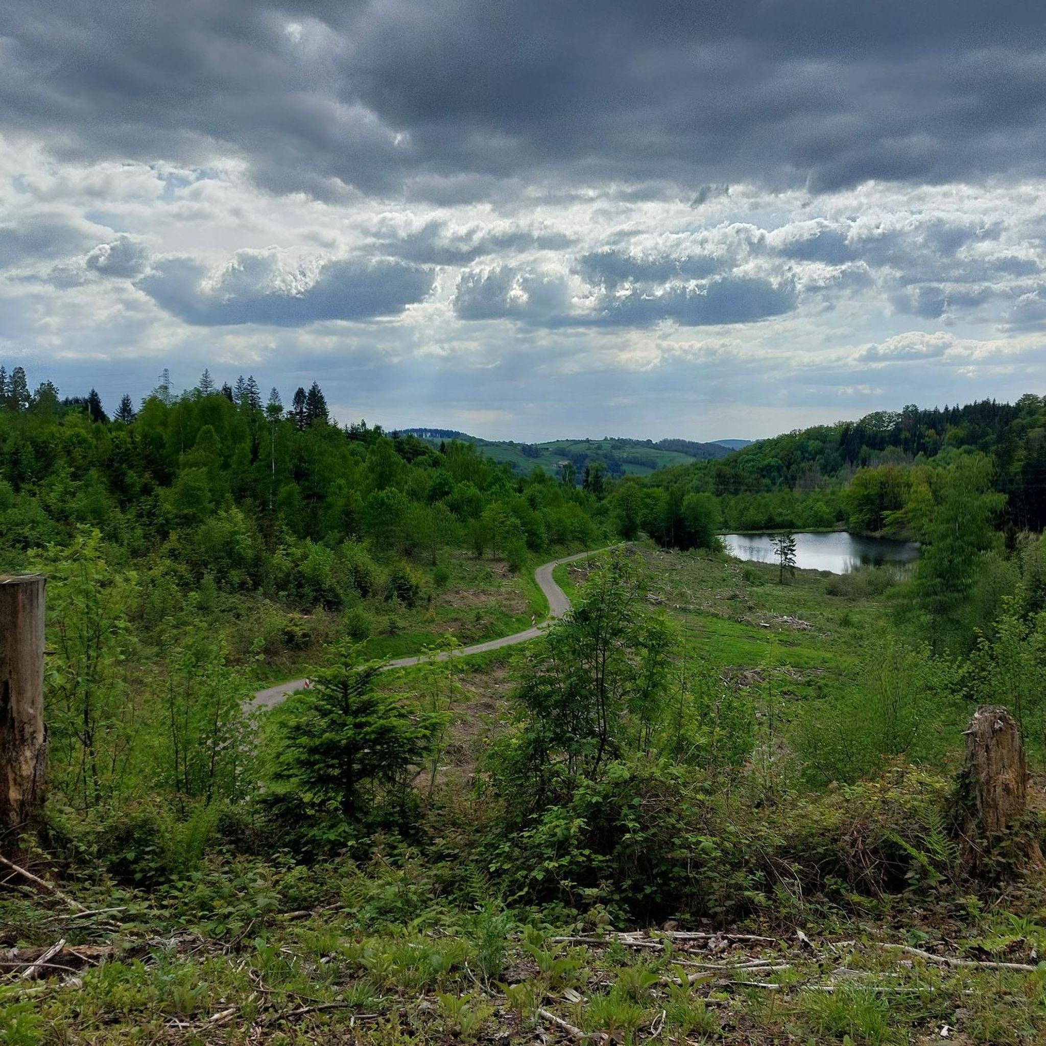
Hiking around Sainte-Marie-En-Chaux offers access to a variety of natural landscapes within the Haute-Saône department of eastern France. The commune itself features 69 hectares of woodlands and is traversed by the Lanterne river, with elevations ranging from 247 to 287 meters. The broader region includes prairies, forests, ponds, and rivers, providing diverse hiking terrain. Further afield, the Parc Naturel Régional des Ballons des Vosges and the extensive Forêt de Chaux offer more expansive natural areas for exploration.
Best hiking trails…
Last updated: July 4, 2026
4.7
(7)
68
hikers
9.19km
02:27
100m
100m
Moderate hike. Good fitness required. Easily-accessible paths. Suitable for all skill levels.
2.9
(10)
23
hikers
17.8km
04:39
140m
140m
Moderate hike. Good fitness required. Easily-accessible paths. Suitable for all skill levels.

Sign up for free
3.8
(11)
28
hikers
Easy hike. Great for any fitness level. Easily-accessible paths. Suitable for all skill levels.
4.0
(6)
11
hikers
11.2km
03:01
140m
140m
Moderate hike. Good fitness required. Easily-accessible paths. Suitable for all skill levels.
5.0
(2)
14
hikers
Easy hike. Great for any fitness level. Easily-accessible paths. Suitable for all skill levels.
Get access to more routes and recommendations from other explorers.
Sign up for free
Already have an account?
Our route recommendations are based on thousands of hikes, rides, and runs completed by other people on komoot.
Start today with a free account
Your next adventure awaits.
Login or Signup


Tips from the Community

The Abbey of Saint-Colomban was looted and destroyed in the 8th century, then rebuilt in the 11th century. Secularized during the French Revolution, it was transformed into a minor seminary, then a Catholic college. When the diocese was no longer able to bear the maintenance costs of this immense complex, it was sold in 2024 by the diocese of Besançon to Pascale and Jean-Yves Parisot. Since then, the abbey has been undergoing a complete renovation for over ten million euros.
1
0
It is here that the Romans built the first thermal establishments. The small town therefore prides itself on being the oldest spa town in France. The current thermal establishment only saw the light of day in the 18th century; it was built from red sandstone from the Vosges. Its architect was Nicolas Didelot, a student of Claude-Nicolas Ledoux, the creator of the Saline Royale d'Arc-et-Senans.
1
0

The "Bishop's Fountain" is arranged in basins forming a triple cascade. It was designed in 1914 to raise trout with the aim of reintroducing them into the wild, the project was subsequently abandoned.
0
0
The "Barrel Fountain" is part of a system of several springs that dates back to the Gallo-Roman period. One of the springs flows through a bottomless wooden barrel filled with pebbles. It was restored in 1936, but traces of an old pipe leading to Luxeuil have been found.
0
0

A very impressive monastery complex.
3
6

Surely once the premier address in town. Directly across from the thermal baths. Now a lost place.
1
0
Surely once the premier address in town. Directly across from the thermal baths. Now a lost place.
1
0
Great complex, dating back to Roman times
1
0
Frequently Asked Questions
How many hiking trails are available around Sainte-Marie-En-Chaux?
There are over 30 hiking trails around Sainte-Marie-En-Chaux, offering a range of experiences from easy strolls to more moderate excursions through woodlands and varied terrain. The area is well-suited for exploring the natural beauty of the Haute-Saône department.
Are there easy hiking trails suitable for beginners or families?
Yes, Sainte-Marie-En-Chaux offers a good selection of easy trails. More than 20 routes are classified as easy, perfect for beginners or families looking for a relaxed outing. An example is the Parc Animalier du Banney – Chemin des Moines loop from Luxeuil-les-Bains, which is 4.2 miles (6.8 km) long and takes about 1 hour 50 minutes through local forests.
What kind of moderate hiking trails can I find in Sainte-Marie-En-Chaux?
For those seeking a bit more challenge, there are 9 moderate hiking trails. These routes often feature varied terrain and slightly longer distances. A popular choice is the Camper Van Parking Area – Chemin des Moines loop from Luxeuil-les-Bains, a 5.7 miles (9.1 km) trail that explores local woodlands and countryside, typically completed in about 2 hours 26 minutes.
Are there any challenging or difficult hikes in the area?
While the broader Haute-Saône region offers diverse terrain, the trails directly around Sainte-Marie-En-Chaux are primarily easy to moderate. There are no routes currently classified as difficult within this specific guide, making it ideal for hikers who prefer less strenuous but equally rewarding experiences.
What are some interesting landmarks or natural sights to see along the trails?
Many trails offer glimpses of the region's natural and historical charm. You might encounter the tranquil Planey Spring, or historical sites like the Basilica of Saint Pierre. The area is characterized by its woodlands and the Lanterne river, providing a scenic backdrop for your hike.
Are there any circular hiking routes available?
Yes, many of the trails around Sainte-Marie-En-Chaux are designed as circular routes, allowing you to start and end at the same point. For example, the Beautiful picnic area – Le Planey loop from Ainvelle is a moderate 11.1 miles (17.8 km) path that leads through varied terrain, including forested sections and open areas.
What do other hikers say about the trails in Sainte-Marie-En-Chaux?
The hiking trails in Sainte-Marie-En-Chaux are highly rated by the komoot community, with an average score of 4.2 stars from over 80 reviews. Hikers often praise the quiet woodlands, varied landscapes, and well-maintained paths that make for enjoyable outdoor experiences.
Is Sainte-Marie-En-Chaux a dog-friendly hiking destination?
Generally, the natural trails and woodlands around Sainte-Marie-En-Chaux are suitable for hiking with dogs. However, it's always recommended to keep dogs on a leash, especially in areas with wildlife or near agricultural land, and to check local regulations for specific routes or protected areas.
What is the best time of year to go hiking in Sainte-Marie-En-Chaux?
The region experiences a 'mountainous fringe climate,' suggesting diverse natural settings. Spring and autumn are often ideal for hiking, with pleasant temperatures and beautiful foliage. Summer offers warmer weather for longer days, while winter can provide opportunities for snowy walks, though conditions may vary.
Are there hiking routes accessible by public transport?
While specific public transport links directly to trailheads are not extensively detailed, the broader Haute-Saône region has some public transport options. For routes starting from towns like Luxeuil-les-Bains, it's advisable to check local bus schedules or consider carpooling to reach the starting points.
Where can I find parking for the hiking trails?
Many trailheads, especially those starting from nearby towns or villages, typically offer designated parking areas. For instance, routes like the Camper Van Parking Area – Chemin des Moines loop from Luxeuil-les-Bains indicate parking availability at their starting points. It's always a good idea to check the route details on komoot for specific parking information.
Most popular routes around Sainte-Marie-En-Chaux
Most popular attractions around Sainte-Marie-En-Chaux

Get inspired with the komoot mobile app


Explore more
Browse the best Hikes in other regions.
