The best walks and hikes around La Croisille
4.6
(91)
405
hikers
69
hikes
Hiking around La Croisille offers access to picturesque landscapes and varied terrain, primarily characterized by accessible paths through local countryside. The region features a network of trails suitable for different fitness levels, often leading through cultivated areas and deciduous woodlands. These routes provide opportunities to explore the natural environment with moderate elevation changes.
Best hiking trails around La Croisille
- The most popular hiking route is Grotte de Gaudreville loop from La Croisille, an 8.4 miles (13.4 km) trail that…
Last updated: October 11, 2026
4.3
(6)
44
hikers
8.18km
02:11
90m
90m
Moderate hike. Good fitness required. Easily-accessible paths. Suitable for all skill levels.
5.0
(2)
11
hikers
9.63km
02:36
130m
130m
Moderate hike. Good fitness required. Easily-accessible paths. Suitable for all skill levels.

5.0
(2)
10
hikers
5.08km
01:21
50m
50m
Easy hike. Great for any fitness level. Easily-accessible paths. Suitable for all skill levels.
12
hikers
5.59km
01:29
60m
60m
Easy hike. Great for any fitness level. Easily-accessible paths. Suitable for all skill levels.
11
hikers
8.44km
02:16
110m
110m
Moderate hike. Good fitness required. Easily-accessible paths. Suitable for all skill levels.
Get access to more routes and recommendations from other explorers.
Already have an account?
Our route recommendations are based on thousands of hikes, rides, and runs completed by other people on komoot.
Start today with a free account
Your next adventure awaits.
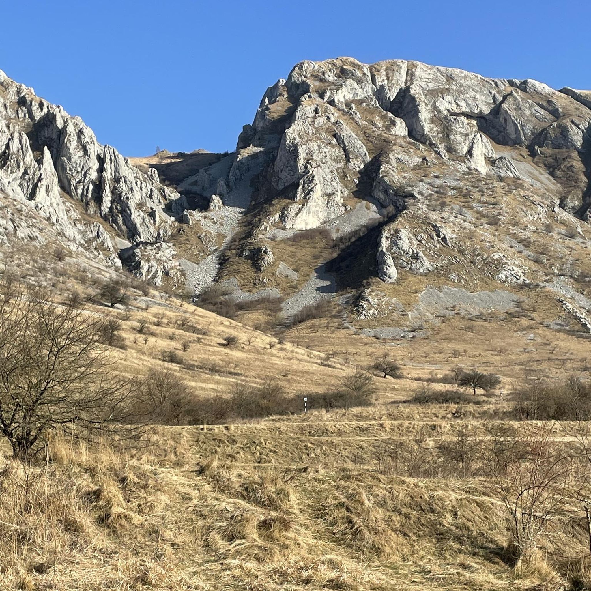
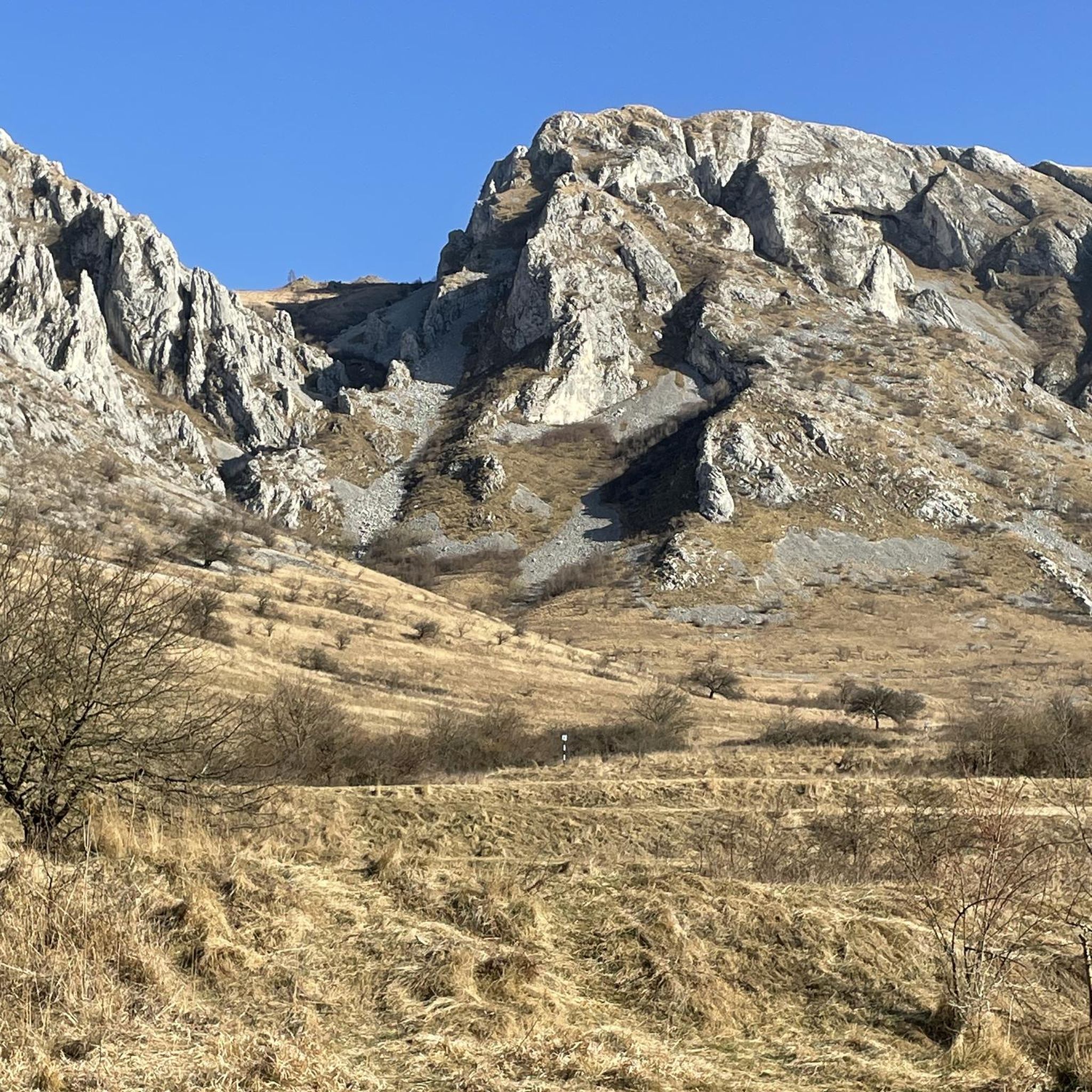


Tips from the Community

The Grotte de Gaudreville is a natural cave and geological wonder that was formed by the erosion of limestone by water over millions of years. The cave has several rooms and galleries, adorned with stalactites, stalagmites, columns and calcite curtains. The cave is also home to various species of bats, spiders and insects. You can visit the cave by booking a guided tour with the Association Spéléologique de l'Eure, which regularly organizes excursions to the site.
3
0

The town of Goms is rather pretty, too bad it is populated by inbreds
0
1

Built at the end of the 11th century by Roger III de Tosny, Lord of Conches. The thickness of the walls is 2.60m. The walls and window embrasures were coated with a layer of mortar mixed with lime and fine sand in order to give a more noble appearance to this flint construction. On the ground floor: it was the food reserve, there were no windows. 1st floor: A central well was used to supply the Château with drinking water. It was emptied in 1849. A fireplace was in each room. It was around 1417, when Conches was in English hands, that the defensive power of the keep was increased under the orders of Captal de Buch. He built an additional tower with the particularity of starting on a square base. Main seats of the castle: 1093: War of the Beautiful Ladies (fight between the Lords of Tosny and the Lords of Breteuil, Beaumont and Evreux) 1199: Philippe Auguste is king of France and he makes the domain of Conches available to his cousin Robert de Courtenay in 1202. 1364: first English occupation. 1371: 100 years war, Bertrand Dugesclin, captain of King Charles V, seizes Conches. 1420: Conquest of Normandy by the English, Henry V, King of England seizes Conches. The castle was taken over in 1440 by Charles VII, King of France. 1441: New English occupation. 1449: The French under the command of Robert de Floques, bailiff of Evreux storm the town of Conches.
0
0

In our youth 🤣 there was a cyclo-cross with the ascent of the dungeon 😋 where we did our "classes" in this discipline 🚴😀
1
1

This dungeon is the last vestige of the fortress of Conches-en-Ouche which was the scene of many battles. Du Guesclin notably laid siege to it in 1371 and took the fortress back from the English. The town center of Goms is also remarkable for its church and its old Norman houses.
2
0
Frequently Asked Questions
How many hiking trails are available around La Croisille?
There are over 60 hiking trails around La Croisille, offering a wide range of options for different fitness levels. You'll find everything from easy walks to more challenging moderate routes.
What kind of terrain can I expect on hikes in La Croisille?
The trails around La Croisille primarily feature accessible paths through picturesque local countryside, including cultivated areas and deciduous woodlands. While many routes have moderate elevation changes, some, particularly in the La Croisille-sur-Briance area, can offer more varied and wild landscapes, such as those found around Mont Gargan.
Are there any easy hikes suitable for beginners or families?
Yes, La Croisille offers many easy hikes. For example, the Conches-en-Ouche Keep loop from Conches-en-Ouche is an easy 6.0 km path with a gentle ascent, perfect for a relaxed outing. Overall, 33 of the 61 available routes are classified as easy.
What are some notable landmarks or attractions I can see while hiking?
Around La Croisille, you can explore several interesting sites. The Conches-en-Ouche Keep is a prominent historical landmark. Other points of interest include the Pierre Courcoulée Dolmen and the Ruins of Saint Médard Church. If you venture towards La Croisille-sur-Briance, Mont Gargan offers extensive panoramic views and is a protected natural area.
Are there any circular hiking routes in the area?
Yes, many of the trails around La Croisille are circular. Popular options include the Grotte de Gaudreville loop from La Croisille, a 13.4 km route, and the Mare de Pussien – Mare de la Ville loop from Ferrières-Haut-Clocher, which is 8.2 km long.
What do other hikers say about the trails in La Croisille?
The hiking routes in La Croisille are highly rated by the komoot community, with an average score of 4.5 stars from over 70 reviews. Hikers often praise the varied terrain, accessible paths, and the opportunity to explore the local countryside.
Is La Croisille-sur-Briance a good area for more challenging hikes?
Yes, La Croisille-sur-Briance, particularly around Mont Gargan, is known for offering more sporting challenges amidst its beautiful and wild landscapes. Trails in this area can provide a more strenuous experience with greater elevation changes, allowing for deeper exploration of the natural wonders of the Millevaches park.
What is the best time of year to go hiking in La Croisille?
The region is generally pleasant for hiking from spring through autumn. These seasons offer mild temperatures and lush landscapes. While specific seasonal considerations for La Croisille itself are not detailed, areas like Mont Gargan are best enjoyed when the weather is clear for panoramic views.
Are dogs allowed on the hiking trails?
While specific rules for every trail are not provided, many natural areas in France are generally dog-friendly, often requiring dogs to be kept on a leash to protect wildlife and ensure the safety of other hikers. It's always advisable to check local signage at trailheads for any specific regulations.
Are there any permits required for hiking in the La Croisille region?
Generally, permits are not required for hiking on public trails in the La Croisille region or within the Parc Naturel Régional de Millevaches en Limousin. However, if you plan to access private land or specific protected areas, it's always best to check for any local regulations or requirements.
What are the options for parking at trailheads?
Many popular trailheads in the La Croisille area, especially for well-known loops like the Grotte de Gaudreville, typically have designated parking areas nearby. For specific routes, it's recommended to check the individual tour details on komoot for information on starting points and available parking facilities.
Most popular routes around La Croisille
Most popular attractions around La Croisille

Get inspired with the komoot mobile app


Explore more
Browse the best Hikes in other regions.
