The best running trails in Michigan
4.5
(105)
10,351
runners
1,452
runs
Jogging in Michigan offers diverse natural landscapes, from vast Great Lakes coastlines and towering sand dunes to dense forests and serene river systems. The state is characterized by an extensive network of trails, including former railroad corridors converted into pathways. This varied terrain provides numerous backdrops for running, ranging from flat, paved routes to more challenging trails with moderate elevation changes.
Best jogging routes in Michigan
- The most popular jogging route is Ralph C. Wilson, Jr. Trail, a 5.3 miles (8.5 km) trail that takes about 53 minutes to complete. This moderate route offers accessible running opportunities.
- Another top favourite among local runners is Lansing River Trail, a difficult 11.5 miles (18.5 km) path. This trail follows the Grand and Red Cedar Rivers, providing a mix of urban parks and quiet woodlands.
- Local runners also love the Reeds Lake Trail, a 3.5 miles (5.6 km) trail leading around Reeds Lake, often completed in about 35 minutes.
- Jogging in Michigan is defined by its Great Lakes shoreline, extensive trail systems, and lush forests and rivers. The network offers options for different ability levels, from easy, paved paths to more challenging, longer routes.
- The routes in Michigan are highly rated by the komoot community with an average score of 4.3 stars from over 60 reviews. More than 9,000 runners have used komoot to explore Michigan's varied terrain.
Last updated: October 10, 2026
5.0
(2)
51
runners
8.55km
00:53
10m
10m
Embark on a refreshing jogging experience along the Ralph C. Wilson, Jr. Trail, a moderate 5.3-mile (8.5 km) route that offers a gentle 34 feet (10 metres) of elevation gain. You can expect to complete this scenic loop in about 52 minutes, enjoying varied terrain with both paved and unpaved sections. As you jog, you'll be treated to beautiful waterfront views of the Detroit River and lush greenery, with the iconic James Scott Memorial Fountain serving as a memorable landmark.
To access the trail, you'll need to enter Belle Isle Park, which typically requires a Michigan Recreation Passport. It's a good idea to have this ready before your visit to ensure smooth entry. Parking is generally available on the island, making it convenient to start your jogging adventure. Plan your trip during daylight hours to fully appreciate the park's natural beauty and the river views.
The Ralph C. Wilson, Jr. Trail stands out as a dedicated pathway within the expansive Belle Isle Park, a unique urban oasis. This route provides a peaceful escape from city life, allowing you to connect with nature while staying active. The trail's design around the park ensures a continuous loop, offering a consistent and enjoyable jogging environment for all skill levels.
5.0
(1)
32
runners
9.96km
01:04
10m
10m
Embark on a moderate jogging experience along the Ralph C. Wilson, Jr. Trail, a 6.2-mile (10.0 km) route that offers a refreshing escape within Belle Isle Park. You will find yourself moving between paved and unpaved sections, enjoying diverse scenery as you go. The trail presents stunning waterfront views of the Detroit River, complemented by lush greenery that lines your path. Keep an eye out for the historic William Livingstone Memorial Lighthouse, a distinctive landmark that adds character to your run. With a gentle elevation gain of just 46 feet (14 metres), you can expect to complete this route in about 1 hour and 3 minutes, making it ideal for a steady, enjoyable jog.
Planning your visit to the Ralph C. Wilson, Jr. Trail is straightforward, as the paths are designed to be easily accessible for joggers of all skill levels. The route is part of the larger Belle Isle Park, which means you will find various access points available for your convenience. While specific parking information for the trail itself is not detailed, Belle Isle Park offers ample parking options throughout its grounds. Consider starting your jog early in the morning to enjoy cooler temperatures and fewer crowds, especially during warmer months. The trail's integration with the Ralph C. Wilson, Jr. Centennial Park also means you have access to additional amenities and green spaces before or after your run.
This trail stands out as a prime jogging destination situated right in the heart of Detroit, offering a unique blend of urban accessibility and natural beauty. Its location within Belle Isle Park provides a serene environment, allowing you to connect with nature without leaving the city. The presence of the tranquil Blue Heron Lagoon along the route further enhances the scenic appeal, inviting moments of calm reflection. The Ralph C. Wilson, Jr. Trail is a testament to thoughtful urban planning, providing a valuable recreational asset for the community.

24
runners
7.26km
00:45
20m
20m
Lace up for a moderate jogging experience on the Detroit Riverwalk and Dequindre Cut Loop, a 4.5 miles (7.3 km) route that offers a unique urban adventure. You'll gain a gentle 71 feet (22 metres) in elevation, making it a comfortable 45-minute workout. Start along the Detroit Riverwalk, where you can enjoy wide-open views of the Detroit River, the city skyline, and even Windsor, Ontario, Canada. As you transition to the Dequindre Cut Greenway, the atmosphere changes, immersing you in a vibrant outdoor art gallery filled with striking graffiti and murals, particularly under the overpasses. This below-grade pathway provides a distinct perspective of Detroit's ongoing transformation.
This loop is entirely paved, making it accessible and enjoyable for joggers of all skill levels. Both the Riverwalk and Dequindre Cut are designed with separate lanes for pedestrians and cyclists, ensuring a safe and largely car-free environment for your run. You will find convenient amenities such as restrooms and water fountains located along the Riverwalk section. Consider starting your jog early in the morning or later in the afternoon to avoid peak crowds, especially on weekends.
The Detroit Riverwalk is a key part of the city's revitalization efforts, transforming former industrial areas into public green spaces. The Dequindre Cut, once a Grand Trunk Railroad line, has been reimagined as an urban greenway, connecting neighborhoods and offering a unique recreational corridor. This route stands out for its seamless blend of natural waterfront beauty and dynamic urban art, providing a rich cultural experience as you exercise. It's a fantastic way to explore two of Detroit's most celebrated public spaces.
26
runners
5.57km
00:35
20m
20m
Lace up for a moderate jogging experience on the Reeds Lake Trail, a 3.5 miles (5.6 km) route that circles the scenic lake. You'll enjoy continuous views of Reeds Lake as you move along paved pathways and charming boardwalks. This route also guides you through peaceful wooded areas and past wetlands, offering a diverse natural backdrop. With a gentle elevation gain of 63 feet (19 metres), it's a comfortable run that takes about 34 minutes to complete. Keep an eye out for local wildlife and seasonal wildflowers along the way.
The Reeds Lake Trail is easily accessible and well-marked, making it simple to navigate for your jog. The route is primarily paved, consisting of sidewalks, pathways, and boardwalks, making it suitable for strollers as well. You will find it well-signed with maps and mile-markers to keep you on track. Be aware that the trail can experience moderate to heavy traffic, especially on pleasant days, so plan your visit accordingly. It is also a great option if you enjoy jogging with your dog.
This popular route stands out for its blend of urban convenience and natural beauty, offering a refreshing escape without leaving the city. The trail's varied environment, from open lake views to shaded woodlands, provides a dynamic backdrop for your workout. Its accessibility and clear signage make it a local favorite for daily exercise and enjoying the outdoors. The opportunity to spot wildflowers and deer adds a touch of wilderness to this otherwise urban-adjacent path.
24
runners
18.5km
01:54
40m
40m
The Lansing River Trail is a fantastic option for joggers seeking a varied and engaging route that combines natural scenery with urban exploration. You'll follow the Grand and Red Cedar Rivers, winding through tranquil woodlands and wetlands where you might spot herons or even bald eagles. The terrain is a mix of paved paths, concrete, macadam, and unique wooden boardwalks, offering a smooth yet diverse surface for your run. Expect to pass through vibrant urban districts, catching views of the downtown skyline, and connect to popular spots like Adado Riverfront Park and the Michigan State University campus.
For those planning a visit, the Lansing River Trail is easily accessible with multiple access points and ample parking options along its extensive length, making it convenient to jump on the trail wherever suits you best. This particular segment is a difficult 11.5-mile (18.5 km) journey with 128 feet (39 metres) of elevation gain, typically taking around 1 hours and 54 minutes to complete. It's a great choice for a longer, more challenging run, so be sure to factor in the distance and duration when planning your start time.
Recognized with the Pure Michigan Trail Town award, the Lansing River Trail stands out as a premier jogging destination in the region. Beyond the scenic river views, you'll encounter notable features like the Brenke Fish Ladder and the charming Old Town area. The trail's ability to link major attractions while offering a continuous, well-maintained path makes it a unique and highly valued asset for runners and outdoor enthusiasts in Lansing.
21
runners
18.9km
02:18
140m
140m
If you're seeking a difficult jogging challenge, the Deep Lake Trail offers a rewarding experience covering 11.7 miles (18.9 km). You will gain 470 feet (143 metres) in elevation, with an estimated completion time of 2 hours and 18 minutes. As you jog, expect to move through varied landscapes, winding through dense forests and along wetland boundaries, with opportunities to spot wildflowers and local wildlife. The sustained climb towards Graves Hill Overlook provides a particularly rewarding vista.
This trail is located within the Yankee Springs Recreation Area in Barry County, Michigan. You can typically find parking in designated areas within the recreation area. While no specific warnings regarding permits, fees, or seasonal closures are noted, it's always wise to check local conditions before your visit. The route is also popular for birding and mountain biking, so you will likely share the path with others enjoying the natural surroundings.
The Deep Lake Trail stands out as a substantial workout option within the Yankee Springs Recreation Area. Its varied terrain and natural setting make it a favorite for those looking to push their limits in a beautiful environment. This dog-friendly route provides a great way to immerse yourself in the Michigan wilderness, offering both physical exertion and scenic beauty.
10
runners
14.5km
01:43
160m
160m
Lace up your jogging shoes for the moderate Border to Border Trail Loop, a 9.0 miles (14.5 km) journey that takes about 1 hour and 42 minutes to complete. You'll experience a gentle climb of 523 feet (159 metres) as you follow the scenic Huron River, enjoying picturesque views along the way. The route winds through varied terrain, including peaceful woods and open meadows, with sections of paved paths and boardwalks. Keep an eye out for the impressive Barton Dam and the tranquil Bird Hills Nature Area, offering beautiful river vistas and a refreshing natural escape. This trail provides a great blend of accessible pathways and natural beauty for your run.
When planning your visit, you'll find parking generally available at several parks located along the Border to Border Trail, making access convenient. While the trail is well-maintained for most of the year, be aware that winter conditions can bring snow and ice, making some sections challenging since they are not always cleared. It's a good idea to check local weather conditions before heading out during colder months. Also, some parts of the trail, especially near urban areas, might have less clear markings, so pay attention to find connecting paths.
The Border to Border Trail Loop stands out as a fantastic way to explore the diverse landscapes of Washtenaw County, Michigan. This route is part of a larger network designed to connect communities and natural areas, offering a unique perspective on the region's environment. You'll appreciate how the trail seamlessly blends natural beauty with accessible pathways, making it a local favorite for outdoor activity. It's an excellent choice if you're looking for a consistent jogging experience with varied scenery.
9
runners
4.09km
00:23
20m
20m
Embark on an easy jogging experience along the Fitness Trail, a 2.5-mile (4.1 km) route that winds through the pleasant green spaces of Nelson Meade County Farm Park. You will encounter a refreshing mix of natural surroundings and open parkland, offering a quiet and scenic backdrop for your run. With a gentle elevation gain of 71 feet (22 metres) and an estimated duration of just 23 minutes, this trail provides a quick and accessible workout.
To begin your journey, head to Nelson Meade County Farm Park, where the Fitness Trail is clearly marked. The park typically offers accessible parking, making it a convenient choice for visitors arriving by car. This well-maintained route is suitable for individuals and families looking for an easy jogging option, with clear trailheads ensuring a straightforward start to your activity.
The Fitness Trail stands out as a community asset within Nelson Meade County Farm Park, designed for accessible fitness and outdoor enjoyment. It offers a consistent, easy-grade path perfect for maintaining your jogging routine or enjoying a leisurely stroll. The park setting provides a welcoming environment, making this trail a popular choice for those seeking a brief escape into nature without venturing far from urban conveniences.
5.0
(3)
11
runners
7.04km
00:44
20m
20m
Embark on the Millennium Park Yellow Loop for a refreshing jogging experience through diverse natural scenery. This moderate 4.4-mile (7.0 km) route, which you can complete in about 43 minutes, offers a gentle 56 feet (17 metres) of elevation gain. As you jog, you will pass through wetland areas where you might spot birds and other wildlife. The trail also winds past serene lakes, through peaceful forests, and across open fields, providing a varied backdrop for your workout. Keep an eye out for observation decks that offer scenic views, particularly beautiful as the sun begins to set. A notable feature along the way is The Universal Boardwalk, adding to the unique character of your run.
The Yellow Loop is well-suited for an easy jogging session, with its mostly flat, wide paths making it accessible for many. While generally easy, you will encounter some small hills that add a slight challenge to your workout. Parking is readily available at Millennium Park, making it convenient to access the trailhead. This route is a great option for a quick workout any time of day, but the observation decks are especially rewarding at sunset.
This jogging route is part of the extensive network within Millennium Park, offering a chance to explore a significant portion of the area. The trail's passage through wetlands, forests, and open fields highlights the park's commitment to preserving diverse natural habitats. You will find that the varied landscape, from tranquil lakes to areas rich in birdlife, makes this loop a standout option for outdoor activity in the region.
12
runners
3.92km
00:24
10m
10m
The Lansing River Trail: Hawk Island Loop offers a delightful blend of urban park and natural escape, perfect for a quick jog. You'll experience the smooth, paved paths circling Hawk Island Lake, providing open views and a sense of spaciousness. The route then transitions into the natural, unpaved trails of Scott Woods Park, where you'll find yourself immersed in shaded woodlands, offering a refreshing contrast and opportunities for wildlife observation.
This easy 2.4-mile (3.9 km) jogging loop, with only 26 feet (8 metres) of elevation gain, can be completed in about 24 minutes, making it ideal for a quick workout or a leisurely stroll. Parking is conveniently available at Hawk Island County Park, which serves as the perfect starting point. The paved sections are even cleared of snow, ensuring year-round usability for those looking to enjoy the trail in any season.
Beyond the loop itself, Hawk Island County Park is a 100-acre hub of activity, offering amenities like pedal boat rentals, a swimming beach, and a splash pad in warmer months, plus a snow-tubing hill in winter. The Hawk Island Loop is also an integral part of the extensive Lansing River Trail system, providing easy access to over 20 miles of additional trails for those who wish to extend their adventure through Lansing's diverse landscapes.
Get access to more routes and recommendations from other explorers.
Already have an account?
Our route recommendations are based on thousands of hikes, rides, and runs completed by other people on komoot.
Start today with a free account
Your next adventure awaits.
Popular around Michigan
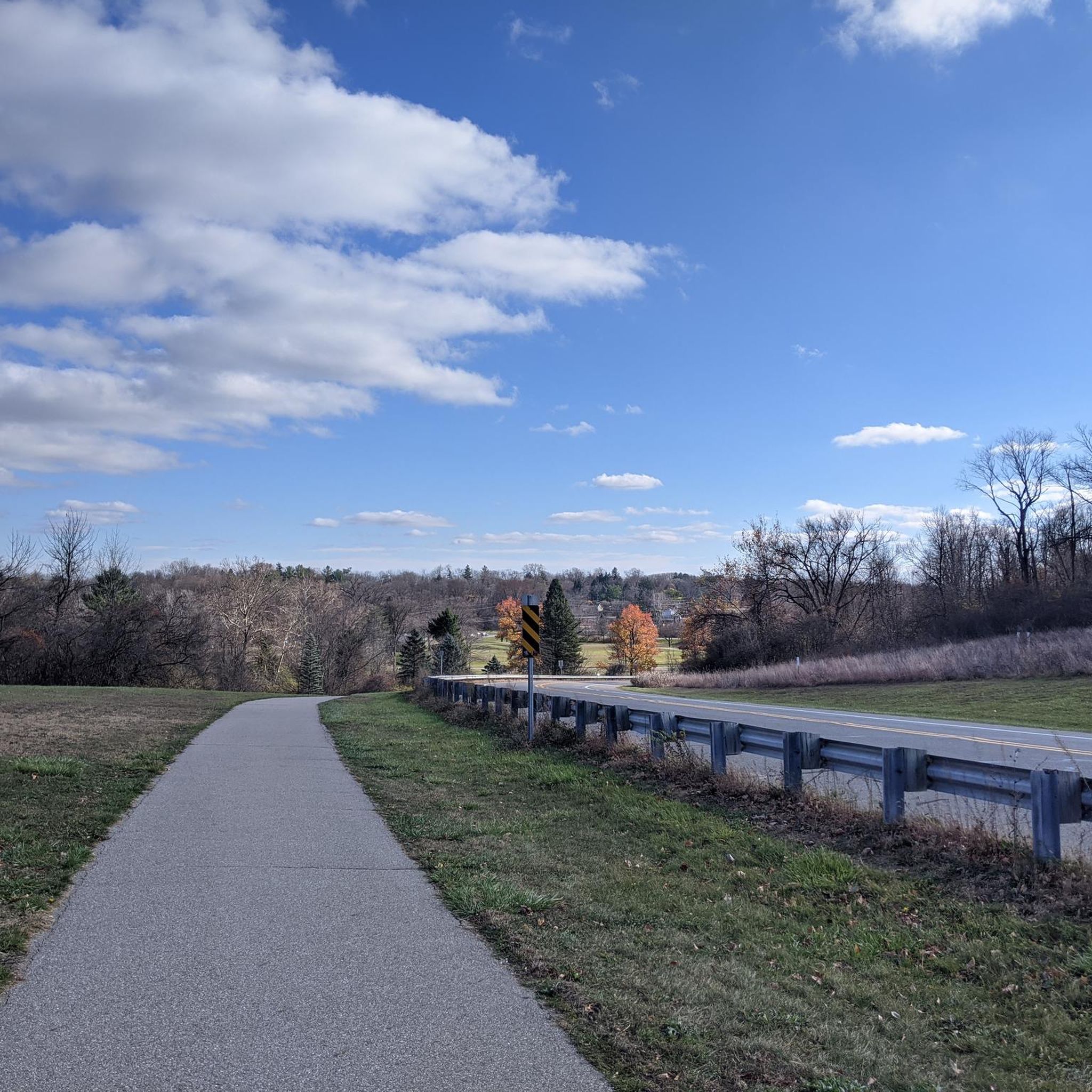
Running Trails in Wayne County
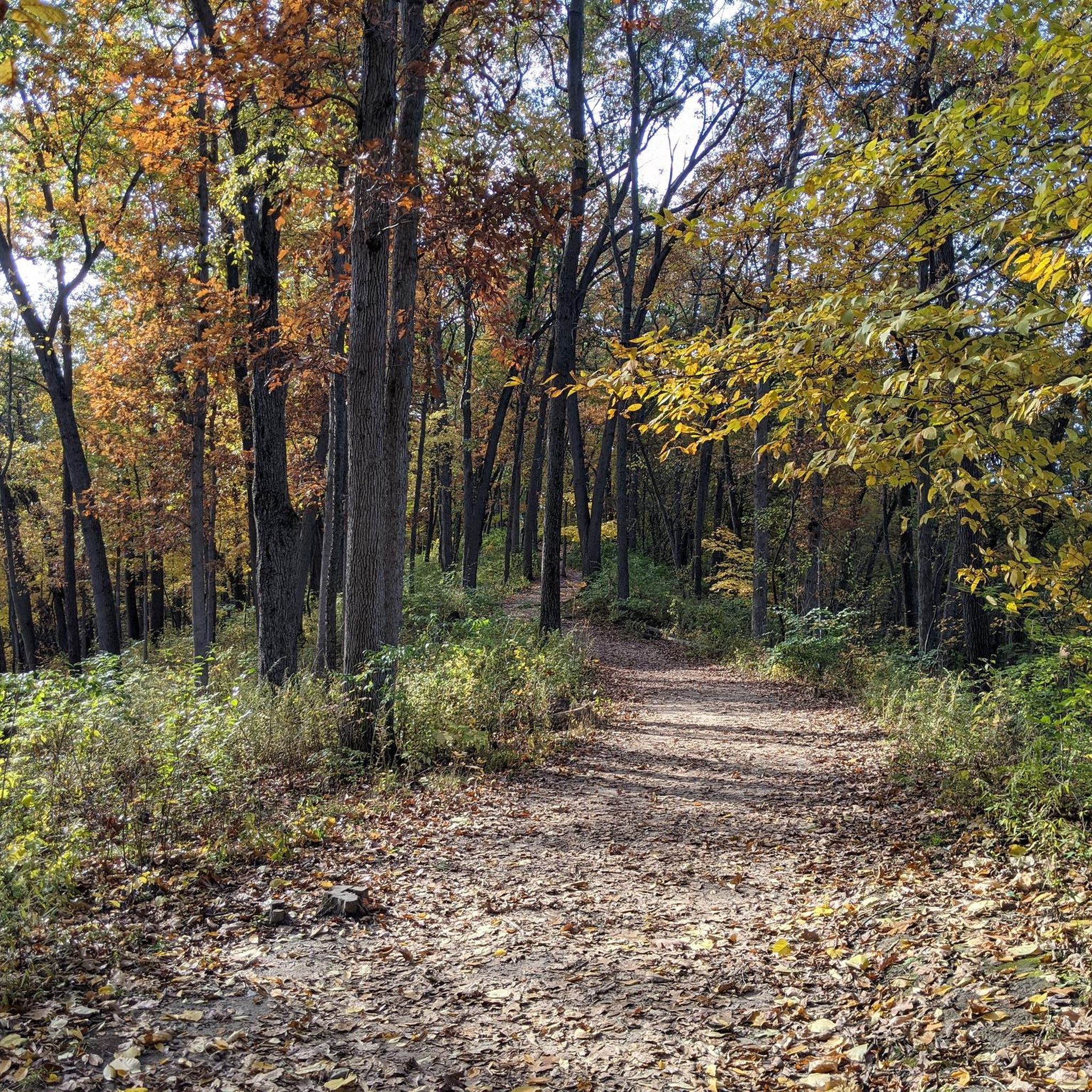
Running Trails in Washtenaw County

Running Trails in Kent County
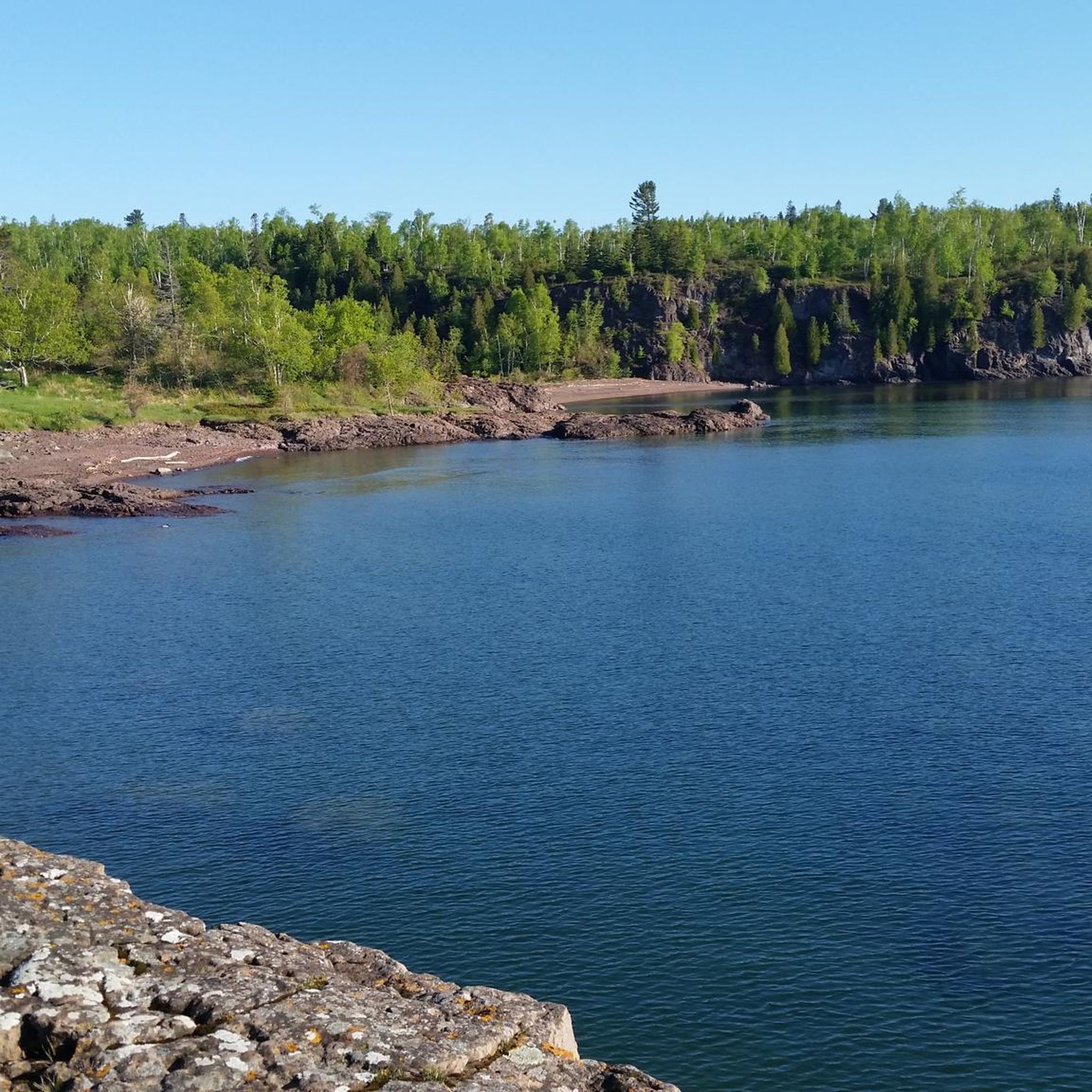
Running Trails around Lake Superior

Running Trails in Ingham County
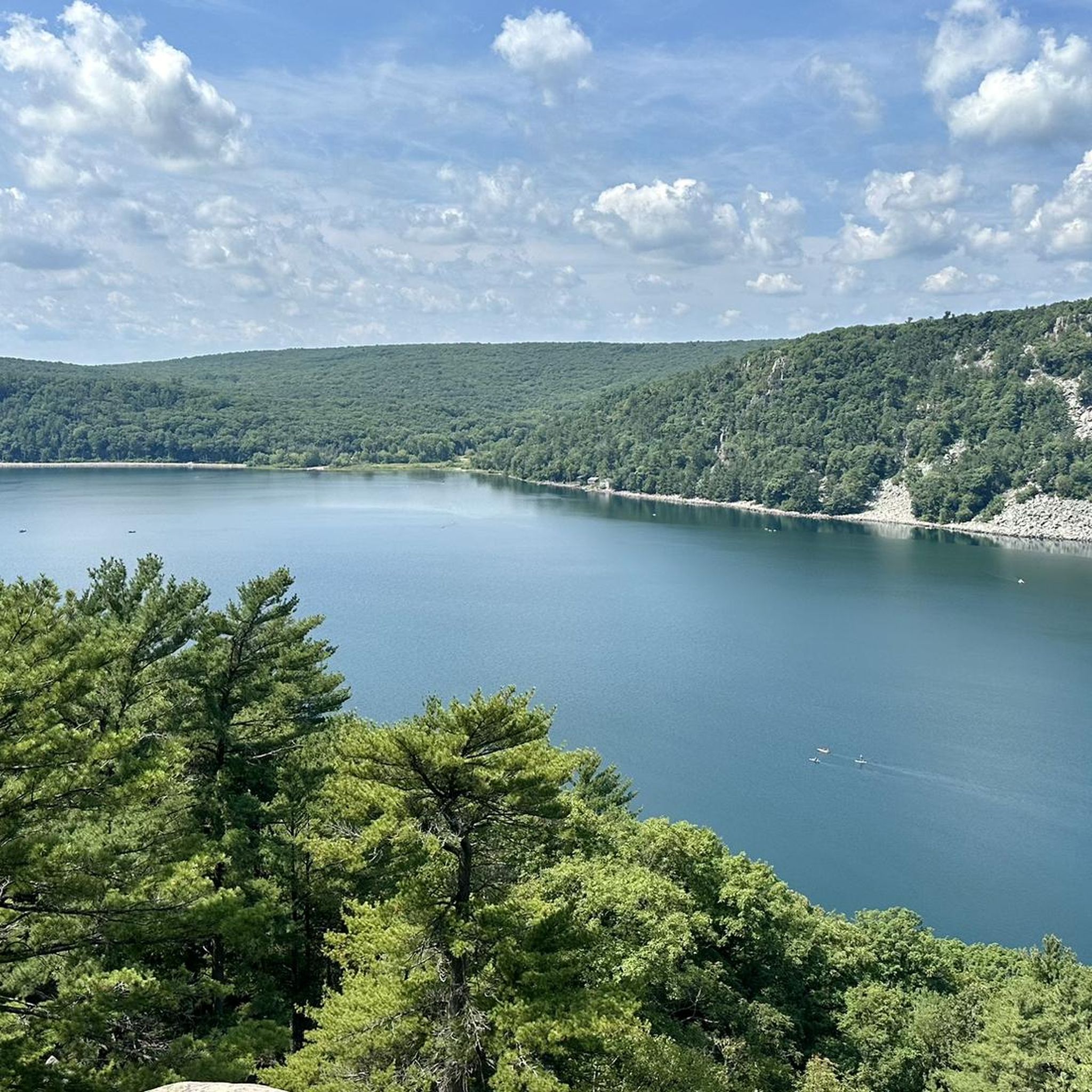
Running Trails around Lake Michigan
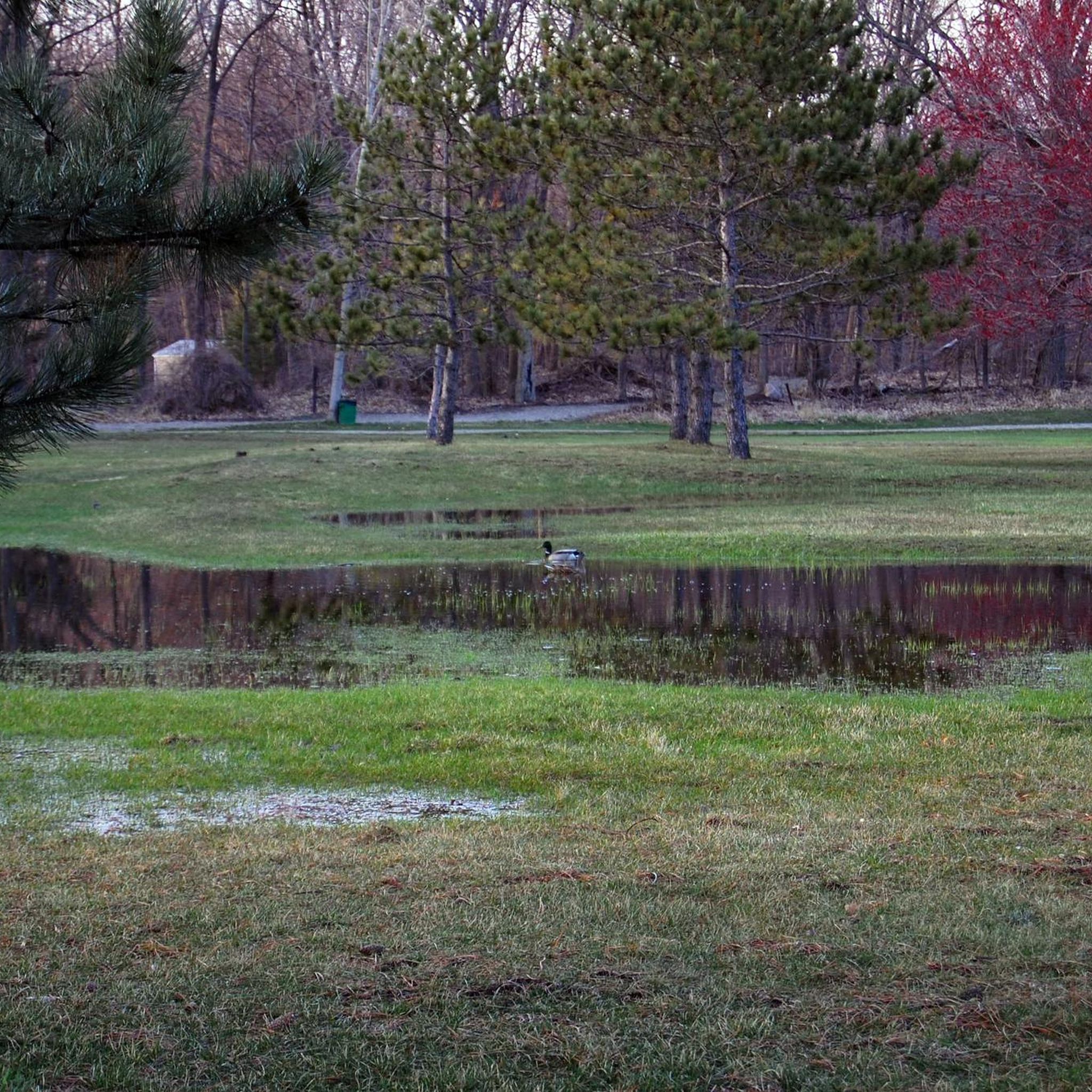
Running Trails in Eaton County

Running Trails in Clinton County
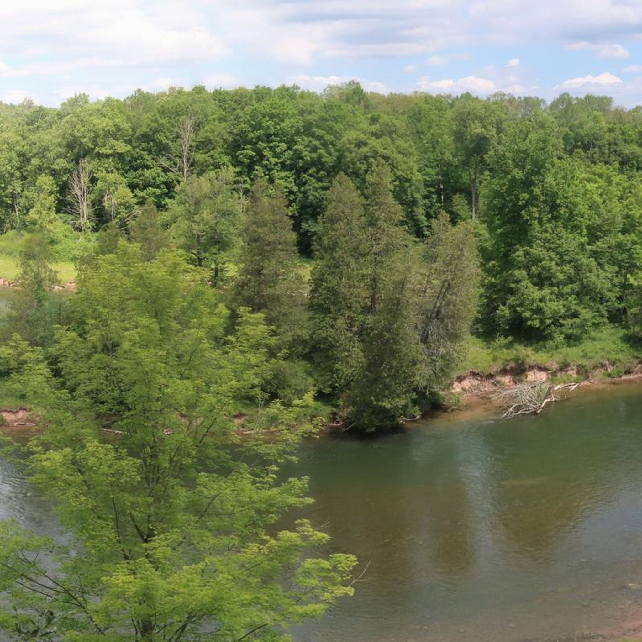
Running Trails in Huron-Manistee National Forest
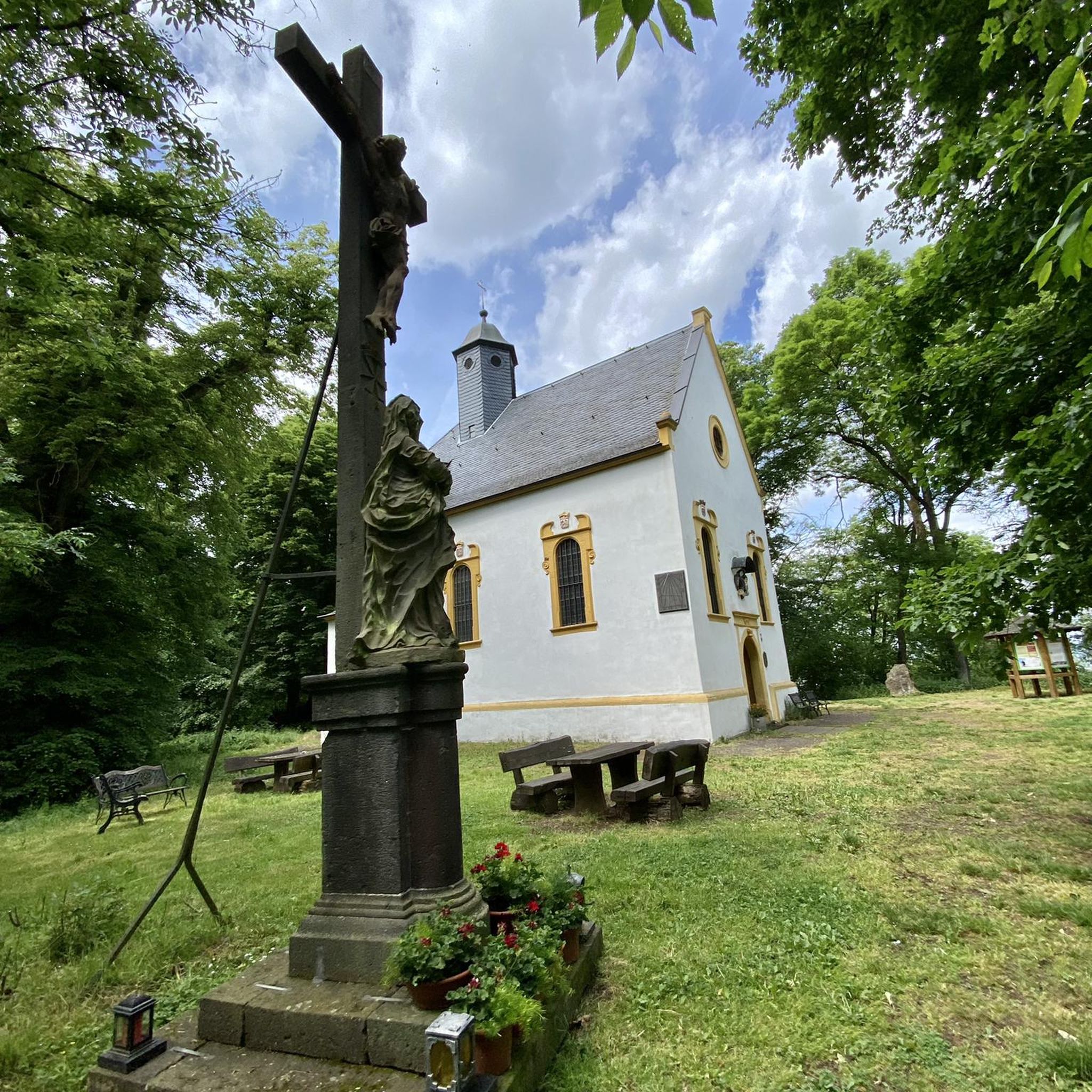
Running Trails in Oakland County
Other adventures in Michigan


Tips from the Community

For decades, the 42-acre Blue Heron Lagoon on the eastern tip of Belle Isle has been separated from the Detroit River by a land bridge, cutting off its wetland and nursery area for river fish and wildlife. Thanks to a grant from the Great Lakes Restoration Initiative, workers were able to reconnect this habitat with the river, granting access to Great Lakes fish. The project also improved five acres of coastal wetland and nearly an acre of spawning habitat in the Detroit River, complementing an existing spawning bed just offshore of Belle Isle.
2
0
The Livingstone Memorial Lighthouse on Belle Isle was named in honor of William Livingstone of Detroit. Born in 1844, Livingstone was president of the Dime Bank, owner of the "Detroit Evening Journal," and longtime president of the Lake Carriers Association. He was also responsible for several important improvements to navigation on the Great Lakes, including the creation of a deep-water channel in the lower Detroit River, which came to be known as the Livingstone Channel. Following his death in 1925, friends and colleagues from across the city joined together to erect a fitting memorial in Livingstone's memory. Designed by renowned Detroit architect Albert Kahn, the Livingstone Memorial Lighthouse was located at the northern tip of Belle Isle, overlooking Lake St. Clair.
2
0
Translated from English - The James Scott Memorial Fountain is a monument in Belle Isle Park in Detroit, Michigan. Designed by architect Cass Gilbert and sculptor Herbert Adams, the fountain was completed in 1925 at a cost of $500,000. Unfortunately, it is currently not accessible due to renovation work.
2
0

Running between Waverly Road and Old Town, the Lansing River Trail offers 20 miles of paved trail access to many parks, natural areas, and the downtown area.
0
0

Bluffs Nature Area is a roughly 40‑acre woodland preserve. There are several miles of trails that cut through the nature reserve.
0
0
Hawk Island County Park is 100 acres of beautiful park land built over the remains of the former Sablain Gravel Pit. VIsitors can enjoy fishing, swimming, picnicking, and in winter sledding and tubing.
0
0
Waterfront Park is a small urban park along Reeds Lake. It has trails with boardwalks, fishing decks, and picnic areas.
0
0

Very idyllic with a beautiful path around it
1
0
Frequently Asked Questions
How many running trails are available in Michigan?
Michigan offers a vast network of running trails, with over 1,300 routes available on komoot. This extensive system includes diverse options, from paved paths to more challenging natural terrains.
What is the overall difficulty level of running routes in Michigan?
The running routes in Michigan cater to a wide range of abilities. You'll find approximately 150 easy routes, nearly 1,000 moderate routes, and over 200 difficult trails, ensuring options for every fitness level.
What kind of landscapes can I expect on Michigan's jogging routes?
Michigan's jogging routes traverse incredibly diverse landscapes. You can expect to run along the vast Great Lakes coastlines, through towering sand dunes, dense forests, and serene river systems. The state is known for its extensive trail networks, including former railroad corridors converted into scenic pathways.
Are there any running routes with scenic views or natural features?
Yes, Michigan is rich in scenic running routes. Many trails offer breathtaking views of the Great Lakes, such as those in Warren Dunes State Park or Sleeping Bear Dunes National Lakeshore. You can also find routes that lead to stunning overlooks like the Lake of the Clouds in Porcupine Mountains. For those interested in waterfalls, areas like the Waterfalls in Michigan guide highlights spots like Tahquamenon Upper Falls and Morgan Falls, which are often accessible via nearby trails.
Can I find running trails with significant elevation changes in Michigan?
While many routes are relatively flat, Michigan does offer trails with significant elevation changes, particularly in areas with sand dunes or hilly state parks. For example, the Deep Lake Trail features over 140 meters of ascent, providing a more challenging experience. The towering sand dunes along the Great Lakes also offer opportunities for uphill running.
Are there family-friendly running trails in Michigan?
Yes, Michigan has many family-friendly running trails. Look for routes that are paved or have smooth surfaces, which are often suitable for strollers. Many state parks and converted rail-trails offer accessible and enjoyable options for families. The Fitness Trail is an easy option that could be suitable for families.
Are there dog-friendly running routes in Michigan?
Many trails in Michigan are dog-friendly, but it's always best to check specific park or trail regulations beforehand. Generally, state parks and forest trails allow dogs on leash. Look for routes that offer water access or shaded sections, especially during warmer months, to keep your canine companion comfortable.
Are there any loop running trails in Michigan?
Yes, loop trails are a popular option for runners in Michigan. The Reeds Lake Trail is a well-loved 3.5-mile loop around Reeds Lake. Another option is the Border to Border Trail Loop, which offers a longer, moderate challenge.
Can I find long-distance running routes in Michigan?
Michigan is home to extensive trail systems perfect for long-distance running. The Iron Belle Trail, the nation's longest designated state trail, and the North Country National Scenic Trail offer hundreds of miles of pathways. The Lansing River Trail, at 11.5 miles, is a great option for a longer run, following the Grand and Red Cedar Rivers.
Are there running routes accessible by public transport?
In urban areas like Lansing and Detroit, some running routes are accessible via public transport. The Lansing River Trail, for example, runs through the city and can be reached from various points. Similarly, the Detroit Riverwalk and Dequindre Cut Loop is an urban trail often accessible by local transit options.
Where can I find easy running routes for beginners in Michigan?
Beginners will find many easy running routes in Michigan, especially on paved rail-trails or within city parks. The Fitness Trail is an easy 2.5-mile route. Look for trails designated as 'easy' on komoot, which typically have minimal elevation gain and well-maintained surfaces.
What do other runners enjoy most about jogging in Michigan?
The running community highly rates Michigan's trails, with an average score of 4.3 stars from over 60 reviews on komoot. Runners often praise the state's diverse natural beauty, the extensive and well-maintained trail networks, and the variety of routes that cater to all skill levels, from serene river paths to challenging dune climbs.
What are the best seasons for running in Michigan?
Michigan offers excellent running opportunities year-round, with each season providing a unique experience. Spring brings blooming wildflowers, while summer is ideal for shaded forest trails. Fall is particularly popular for its stunning autumn foliage, making routes like those in Hartwick Pines State Park incredibly scenic. Winter running is also possible, especially on groomed trails in some areas, offering a quiet, snowy landscape.
Most popular routes in Michigan
Most popular attractions in Michigan

Get inspired with the komoot mobile app


Didn’t find what you were looking for?
Check out more Running Trails & Routes throughout Michigan below and find the perfect route in your destination.
Explore more
Browse the best Running Trails & Routes in other regions.
